아길라르 데 세가라에서 가장 멋진 11개의 천연기념물
천연기념물을 방문하여 아길라르 데 세가라의 아름다운 풍경을 만나보세요. 아길라르 데 세가라에 있는 11
개의 천연기념물과 상세 정보를 살펴본 후에 방문하고 싶은 천연기념물을 다음 모험 계획에 추가해보세요!
마지막 업데이트: 10월 5, 2026

코구요 데 칸 토라
하이라이트 • 정상
번역자 Google •
팁에 의해

이런 장소를 발견하려면 지금 가입하세요
최고의 싱글 트랙, 봉우리 및 다양한 흥미로운 야외 장소에 대한 추천을 받아보세요.
케롤의 알시나 그로사
하이라이트 • 자연 기념물
Majestic specimen of about 15m in height and with an imposing trunk of more than 4m in diameter, probably one of the largest in Catalonia.
It has a picnic area.
번역자 Google •
팁에 의해

카탈루냐의 지리적 중심지
하이라이트 • 기념물
번역자 Google •
팁에 의해

카탈루냐의 지리적 중심지
하이라이트 • 기념물
번역자 Google •
팁에 의해
무료로 가입하여 아길라르 데 세가라 주변의 더 많은 자연 기념물을 발견하세요.
이미 komoot 계정이 있나요?
오늘 무료 계정으로 시작하세요
다음 모험이 기다리고 있어요.

커뮤니티 팁

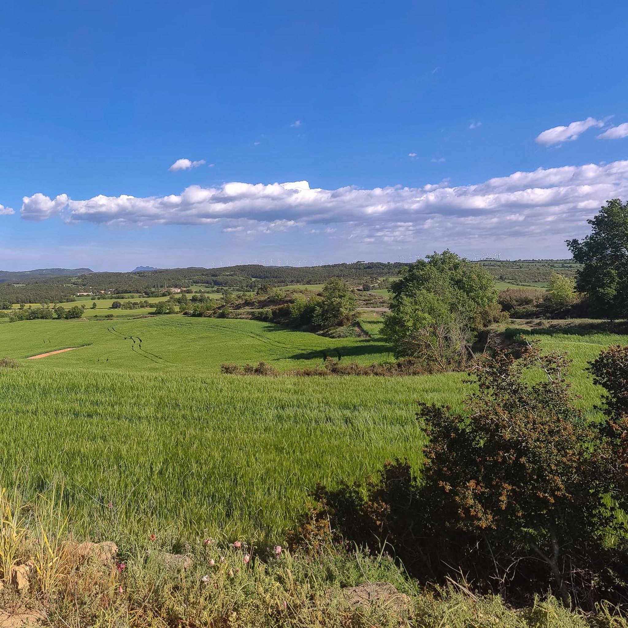
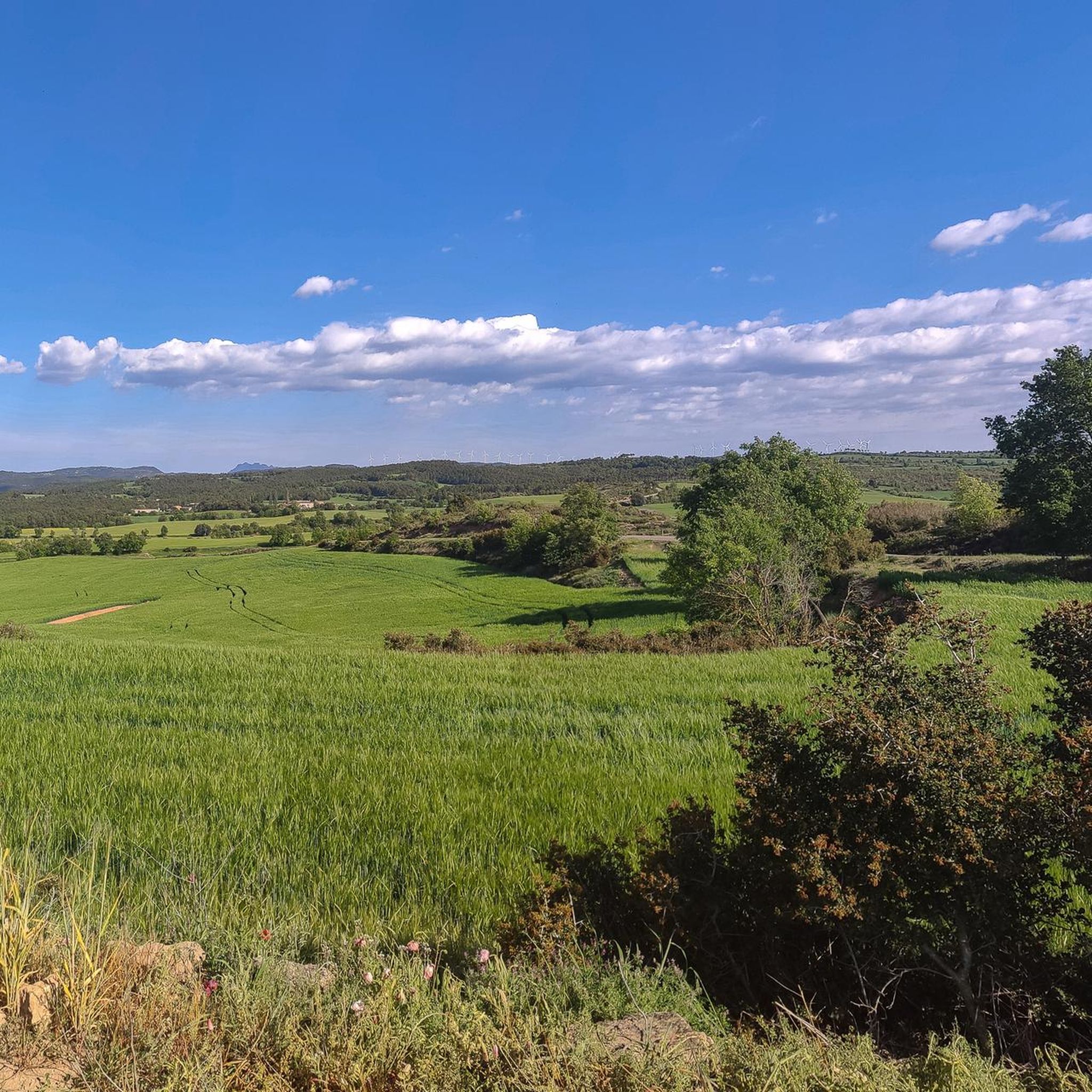
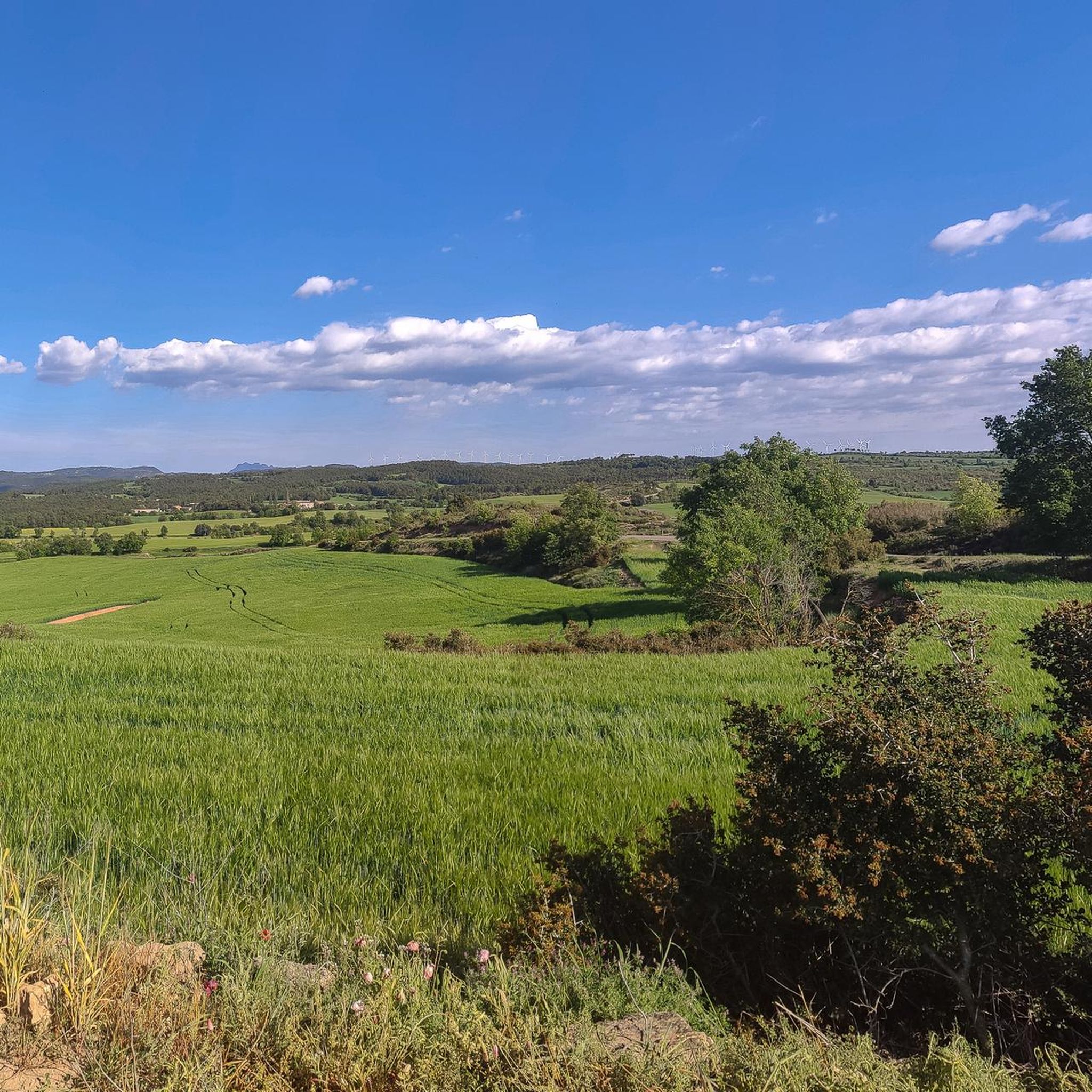
The Geographical Center of Catalonia is marked on top of a small hill 930.60 meters above sea level, located a short distance from the sanctuary of Santa Maria de Pinós, within the municipality of Pinós, in Solsonès. Source: Wikipedia
0
0

Historic center of Catalonia, more beautiful than the official one.
1
0

Collbaix is a 543 meter peak, located in Sant Joan de Vilatorrada. It is the highest in the district of Manresa, to the west of Pla de Bages, which has an excellent observation point. It is listed as a large park by the Planning Plan of Manresa. The mountain is located between the streams of Rajadell and Fonollosa. The south side belongs to Manresa, the east to Sant Joan de Vilatorrada, where the town's expansion area is located. Rajadell has the area of Punta Sabata and Fonollosa with most of the summit, the west and the obac slope. Collbaix originated from the erosion of the surrounding land. A resistant layer of conglomerates protects the flat top from erosion, forming a plateau. The summit is made up of large blocks of stone separated from each other. At the top we can find a geodesic vertex (reference 280109001) A metal table with an engraved map of the region. This peak is included in the list of the 100 peaks of the FEEC.
2
0
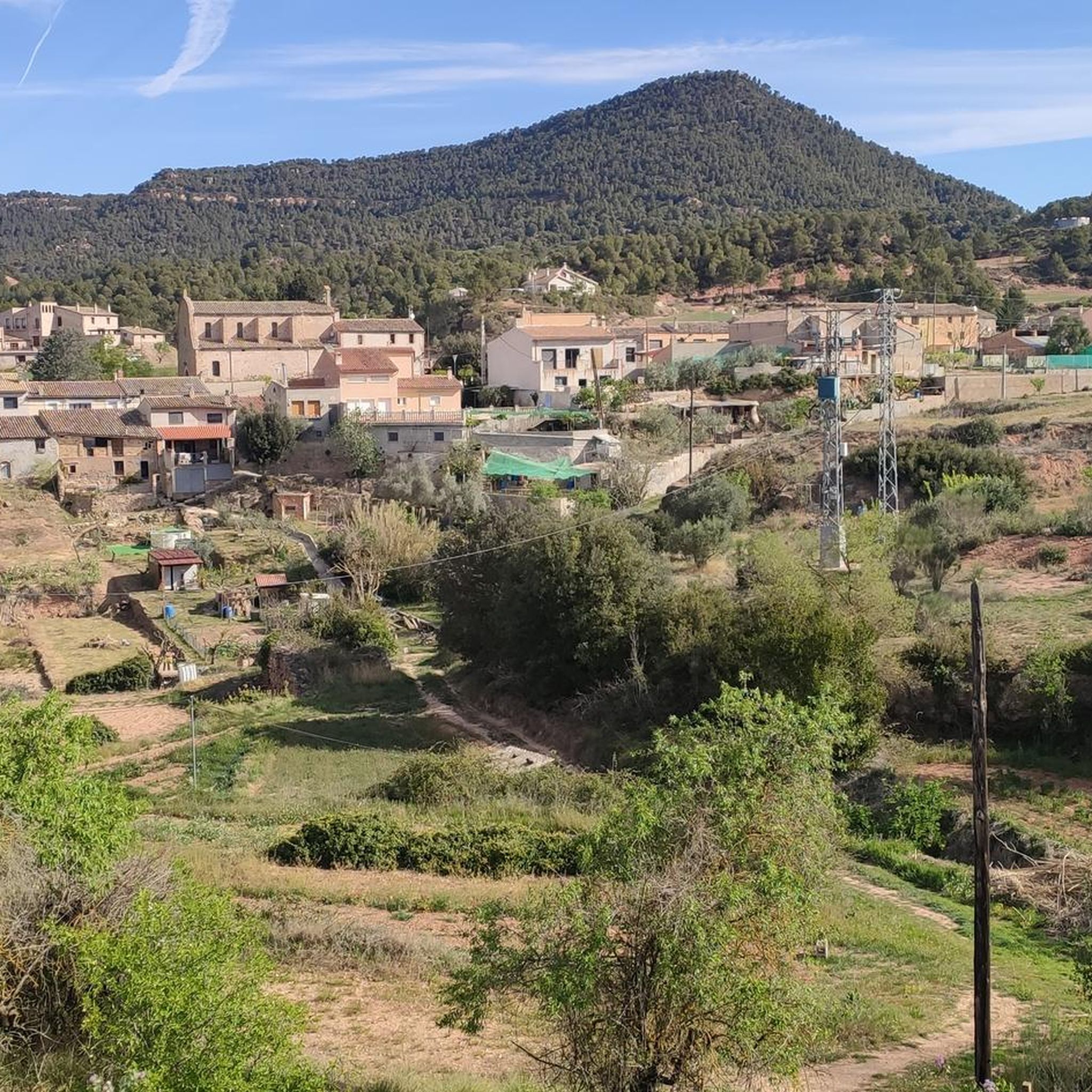
peak of Cogulló de Cal Torre, a mountain included in the list of the 100 Peaks of the FEEC and bordering the municipalities of Rajadell and Castellfollit del Foix. At its summit, the ridges of the Serra del Colomer (which we climbed), the Serra de Cal Torre (parallel to the first and also called the Palomes on some maps), and the ridge of La Serra converge , through which we will continue the path. From the top we have magnificent views of Montserrat, Sant Llorenç, Montseny and part of Central Catalonia. But on clear days we can also see the Pyrenees, such as Pedraforca, Gallina Pelada or Cadí. At the top we will find a wooden fire watch house as well as a geodesic vertex (reference 277112001). This peak is one of the disputed points for the centrality of Catalonia, for which, every September 11, a very crowded gathering is held there. Unfortunately, the summit is accessible to motor vehicles, motorbikes but also all-terrain vehicles, which damages the balance of the environment.
1
0

Geographical Center of Catalonia. A highly recommended stop at Hostal de Pinós to have a drink ;).
0
0


This oak is large and spectacular. It is officially protected. It has some picnic tables around it and is the perfect place for a good rest.
0
1

We will find a compass rose carved into a stone, which indicates that this point is the geographical center of Catalonia. At an altitude of 904 meters and from where we have splendid views of the Pyrenees, Collsacabra and Montseny.
0
0
아길라르 데 세가라 주변에서 가장 인기 있는 명소


더 살펴보기
아길라르 데 세가라 주변의 최고의 동굴을 찾기 위해 이 가이드를 확인해보세요:
