산트페도르에서 가장 멋진 13개의 천연기념물
천연기념물을 방문하여 산트페도르의 아름다운 풍경을 만나보세요. 산트페도르에 있는 13
개의 천연기념물과 상세 정보를 살펴본 후에 방문하고 싶은 천연기념물을 다음 모험 계획에 추가해보세요!
마지막 업데이트: 10월 18, 2026


이런 장소를 발견하려면 지금 가입하세요
최고의 싱글 트랙, 봉우리 및 다양한 흥미로운 야외 장소에 대한 추천을 받아보세요.
라 보초사 염분 폐기물 더미
하이라이트 • 구조물
The La Botjosa salt dump measures 775 meters long by an average width of 150 meters, occupies 13.5 Ha …
번역자 Google •
팁에 의해


Canyet del Muladar
하이라이트 • 자연 기념물
번역자 Google •
팁에 의해

무료로 가입하여 산트페도르 주변의 더 많은 자연 기념물을 발견하세요.
이미 komoot 계정이 있나요?
오늘 무료 계정으로 시작하세요
다음 모험이 기다리고 있어요.

커뮤니티 팁

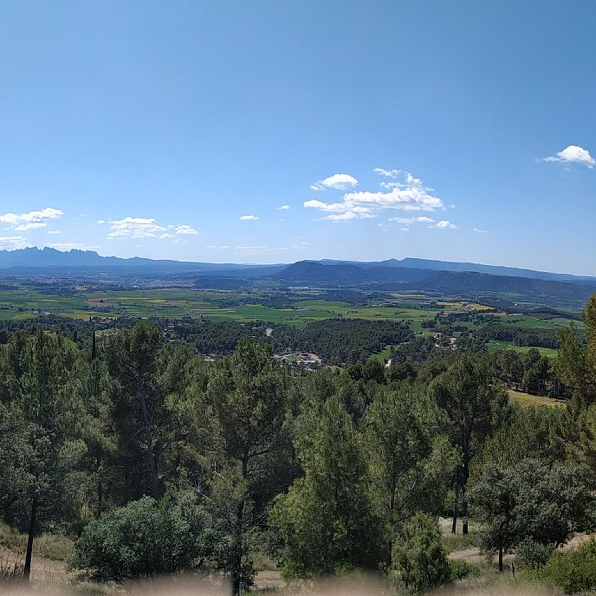
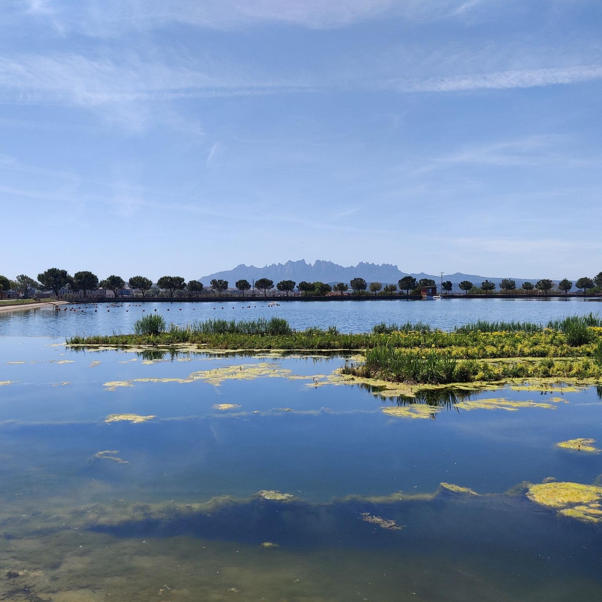
Space to relax and look towards Montserrat
1
0

Collbaix is a 543 meter peak, located in Sant Joan de Vilatorrada. It is the highest in the district of Manresa, to the west of Pla de Bages, which has an excellent observation point. It is listed as a large park by the Planning Plan of Manresa. The mountain is located between the streams of Rajadell and Fonollosa. The south side belongs to Manresa, the east to Sant Joan de Vilatorrada, where the town's expansion area is located. Rajadell has the area of Punta Sabata and Fonollosa with most of the summit, the west and the obac slope. Collbaix originated from the erosion of the surrounding land. A resistant layer of conglomerates protects the flat top from erosion, forming a plateau. The summit is made up of large blocks of stone separated from each other. At the top we can find a geodesic vertex (reference 280109001) A metal table with an engraved map of the region. This peak is included in the list of the 100 peaks of the FEEC.
2
0

At this point in its course, the river Llobregat crosses the large cracks that it has opened in the strata of nodular limestone, so that when the course of the river is low, it can be crossed by jumping from rock to rock. The name comes from the fact that a "bigaire" (a rafter, who transported logs of wood joined together to form a boat) died at this point.
1
0

Mountain of saline and other waste created between 1945 and 1977. The La Botjosa salt dump measures 775 meters long by an average width of 150 meters, occupies 13.5 Ha and its content is estimated at around 4 million tons of salty waste. Since the start of the new Cogulló dump in 1977, the potash mining of Sallent and Balsareny stopped dumping saline waste in La Botjosa. Since then, a considerable portion of the saline residues dumped in the La Botjosa dump has disappeared by dissolution in rainwater and air humidity, as evidenced by the geomorphologies in lapiaz on the slopes and dame coiffée where an object acting as an umbrella has protected the salt below
2
0

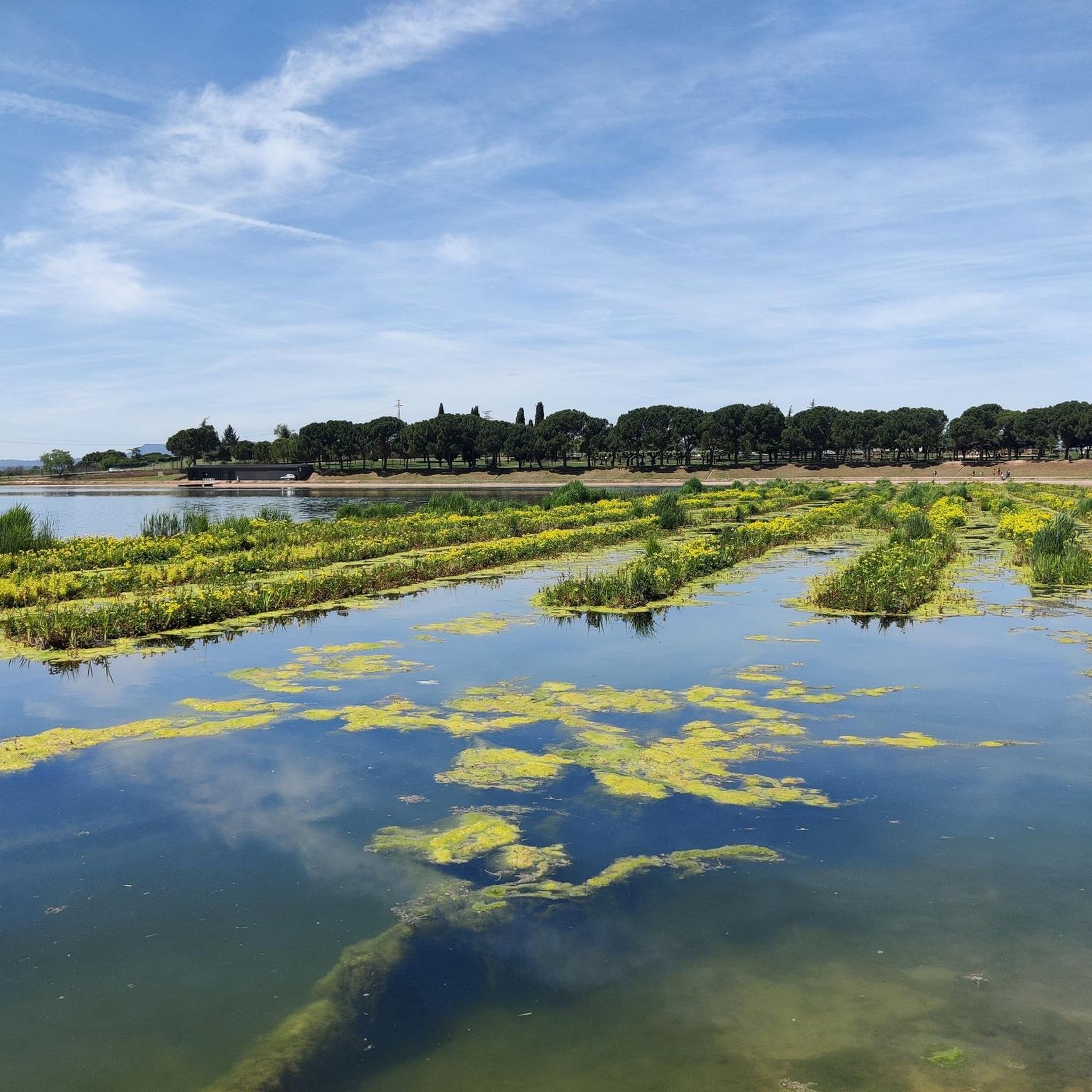
This park is a large reservoir with a nice trail around it for walking and biking. There is parking and a picnic area. It is a good place to relax or start or end an adventure.
3
0

The Parque de l’Agulla is a natural space located on the outskirts of Manresa, near the municipalities of Sant Fruitós de Bages and Santpedor. The park was born with the construction of the lake of l’Agulla between 1966 and 1974. The lake has a surface area of about 64,000 m2 and a capacity close to 200,000 m3. Its main source of water is the Sèquia de Manresa canal, of medieval origin.
2
0

In the "raft-driver gorge", the Llobregat passes through the large fissures it has opened in the nodular limestone rock layer, of marine origin in a continental platform. When the flow is low, it is possible to cross the river jumping from rock to rock. From the left bank there is a track that reaches the Tina de Roviralta located about 300m away.
1
0

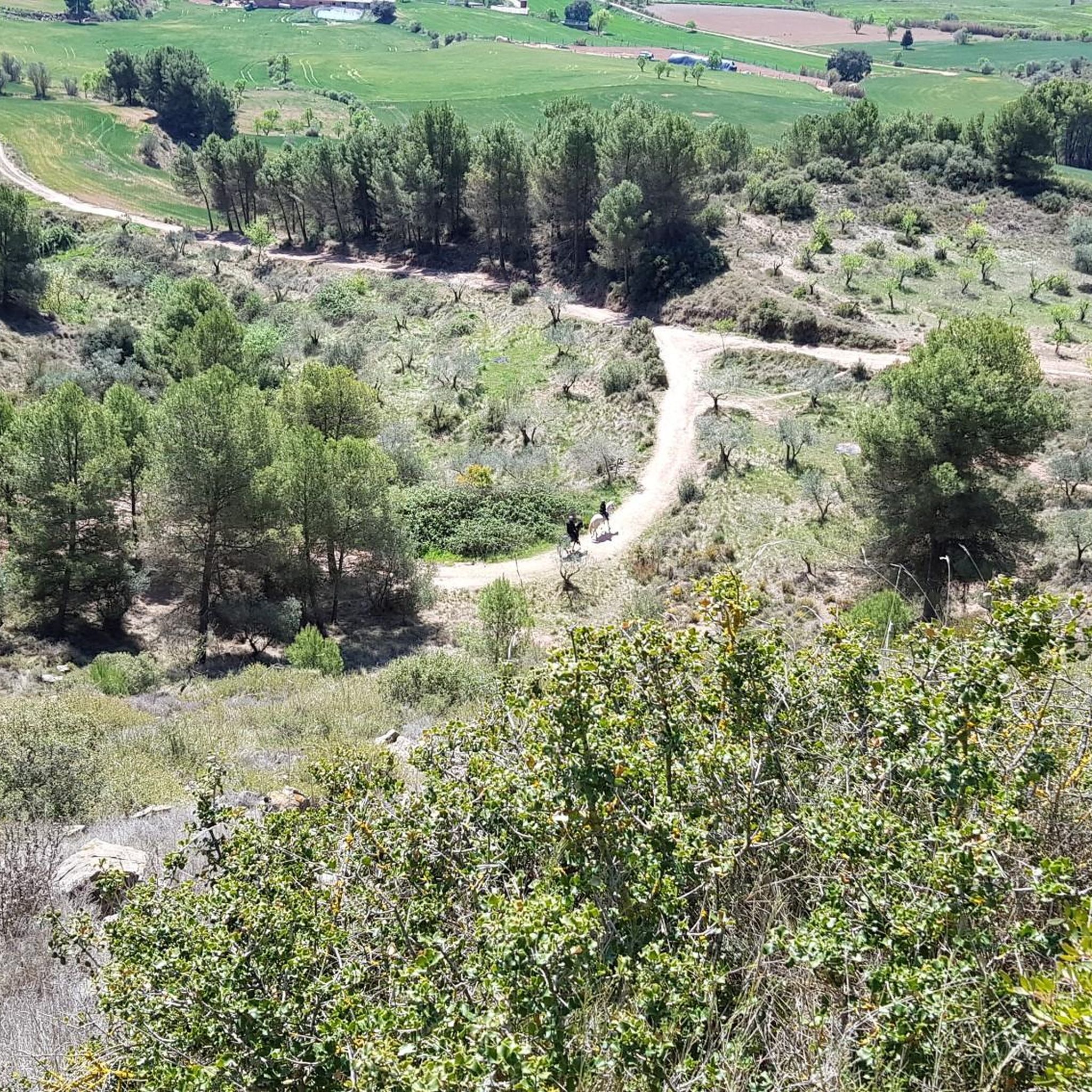
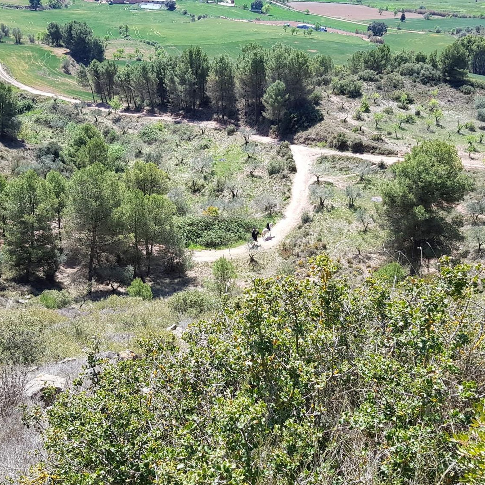
El Canyet del Muladar is a space to promote and conserve endangered dryland fauna. Joint project between Manresa City Council and Bages Biodiversity.
1
0
산트페도르 주변에서 가장 인기 있는 명소


더 살펴보기
산트페도르 주변의 최고의 동굴을 찾기 위해 이 가이드를 확인해보세요:
