발사라니에서 가장 멋진 7개의 천연기념물
천연기념물을 방문하여 발사라니의 아름다운 풍경을 만나보세요. 발사라니에 있는 7
개의 천연기념물과 상세 정보를 살펴본 후에 방문하고 싶은 천연기념물을 다음 모험 계획에 추가해보세요!
마지막 업데이트: 9월 8, 2026

라 보초사 염분 폐기물 더미
하이라이트 • 구조물
The La Botjosa salt dump measures 775 meters long by an average width of 150 meters, occupies 13.5 Ha …
번역자 Google •
팁에 의해

이런 장소를 발견하려면 지금 가입하세요
최고의 싱글 트랙, 봉우리 및 다양한 흥미로운 야외 장소에 대한 추천을 받아보세요.
Canyet del Muladar
하이라이트 • 자연 기념물
번역자 Google •
팁에 의해


오늘 무료 계정으로 시작하세요
다음 모험이 기다리고 있어요.

커뮤니티 팁

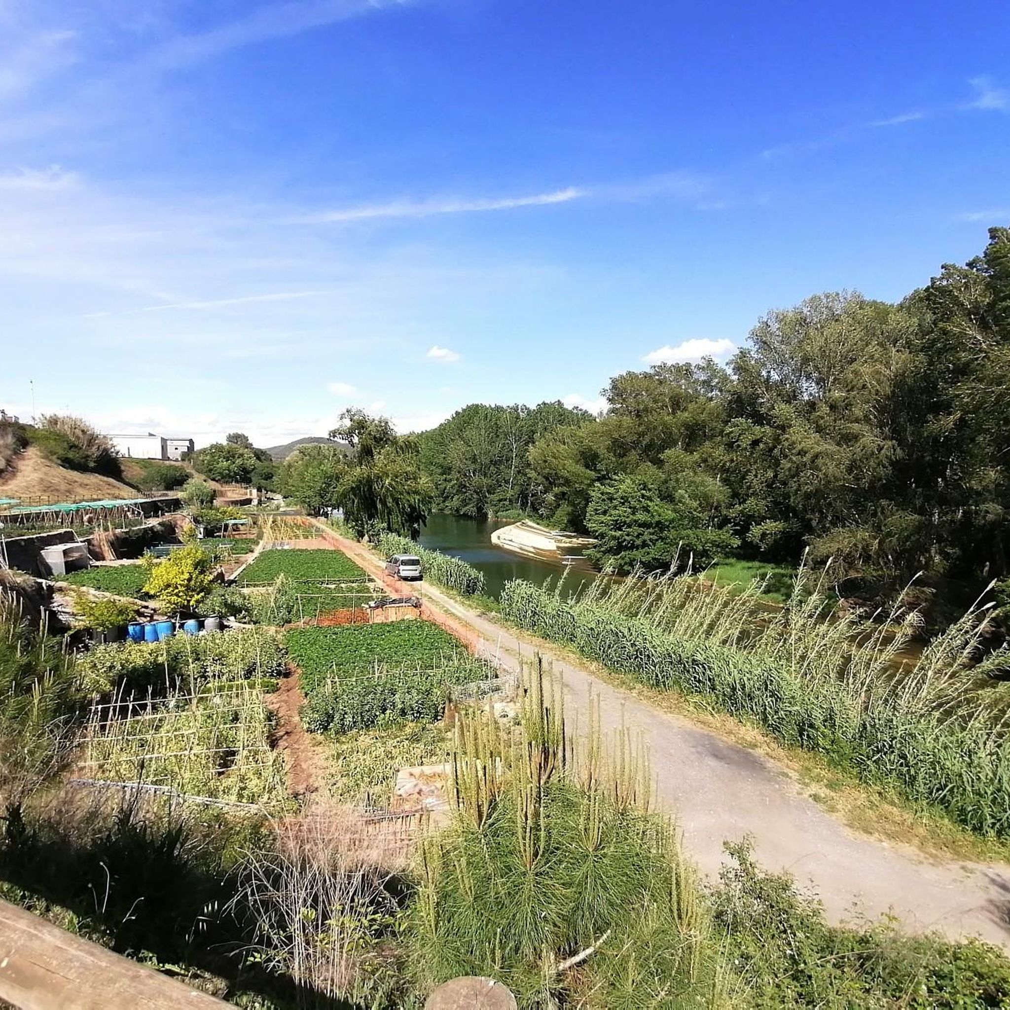
The L’Angla spring is located on the left or south side of the Calders river valley, between the Llac de Navarcles and Viladecavalls de Calders, near Navarcles but in the municipality of Calders and, consequently, in the Moianès region. The spring takes its name from the L’Angla farmhouse, documented since ancient times, through which the GR-3 trail passes. The spring is below the farmhouse, on a shady half-slope, facing a cliff of the winding Calders river and next to the L’Angla stream, in an oak grove with sections eroded by abusive logging and by excessive use of paths and foot traffic. The spring springs from above a rock. Around it, a small stone house was built, almost like a toy, large enough to sit in, with the back wall half made of natural rock where the water flows and half built of stone, two benches that follow the side walls and the water circulating on the ground and coming out of the door. The L’Angla spring is one of those that always flows. The L’Angla oak, with its beautiful shape and large proportions and therefore listed as a unique tree of Calders, stands out a few dozen meters below the spring. Text by Jordi Badia.
0
0

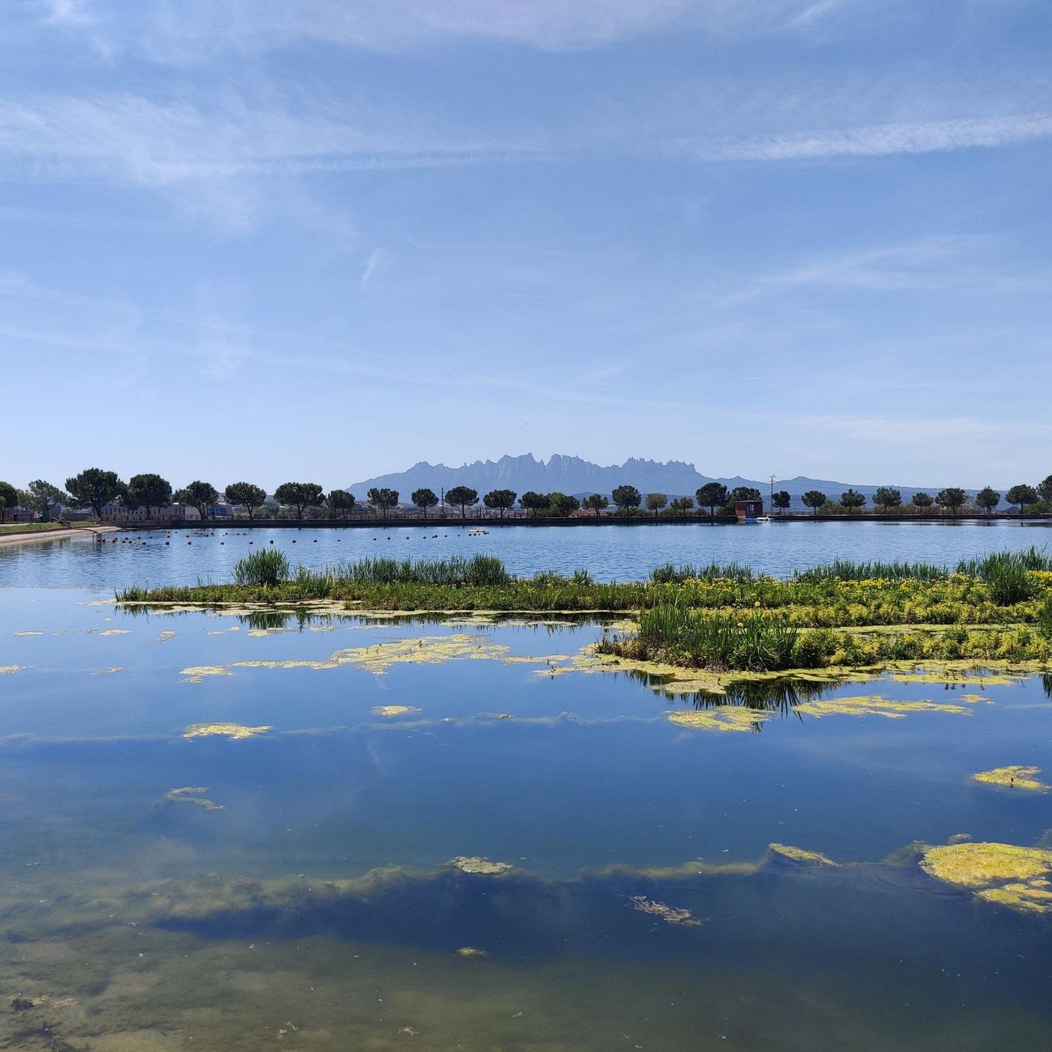
Space to relax and look towards Montserrat
0
0

Mountain of saline and other waste created between 1945 and 1977. The La Botjosa salt dump measures 775 meters long by an average width of 150 meters, occupies 13.5 Ha and its content is estimated at around 4 million tons of salty waste. Since the start of the new Cogulló dump in 1977, the potash mining of Sallent and Balsareny stopped dumping saline waste in La Botjosa. Since then, a considerable portion of the saline residues dumped in the La Botjosa dump has disappeared by dissolution in rainwater and air humidity, as evidenced by the geomorphologies in lapiaz on the slopes and dame coiffée where an object acting as an umbrella has protected the salt below
2
0

This park is a large reservoir with a nice trail around it for walking and biking. There is parking and a picnic area. It is a good place to relax or start or end an adventure.
2
0

The Parque de l’Agulla is a natural space located on the outskirts of Manresa, near the municipalities of Sant Fruitós de Bages and Santpedor. The park was born with the construction of the lake of l’Agulla between 1966 and 1974. The lake has a surface area of about 64,000 m2 and a capacity close to 200,000 m3. Its main source of water is the Sèquia de Manresa canal, of medieval origin.
2
0

Set of trails on the left bank of the Cal Flequer torrent that I have to travel more to track them well.
1
0

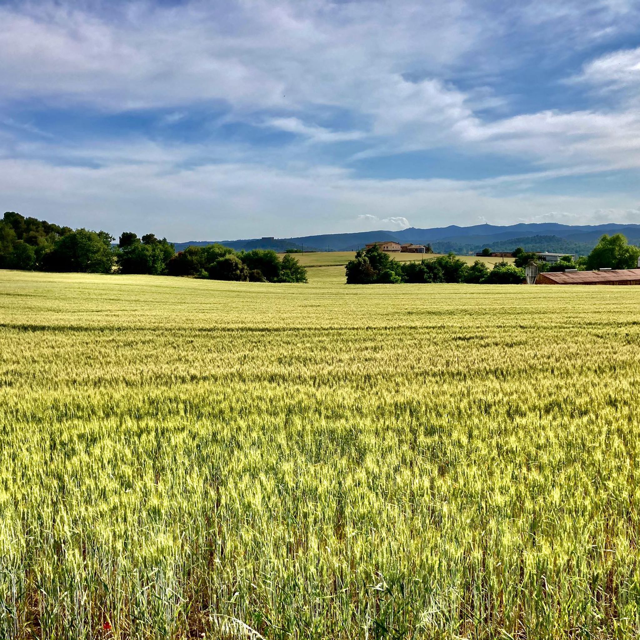
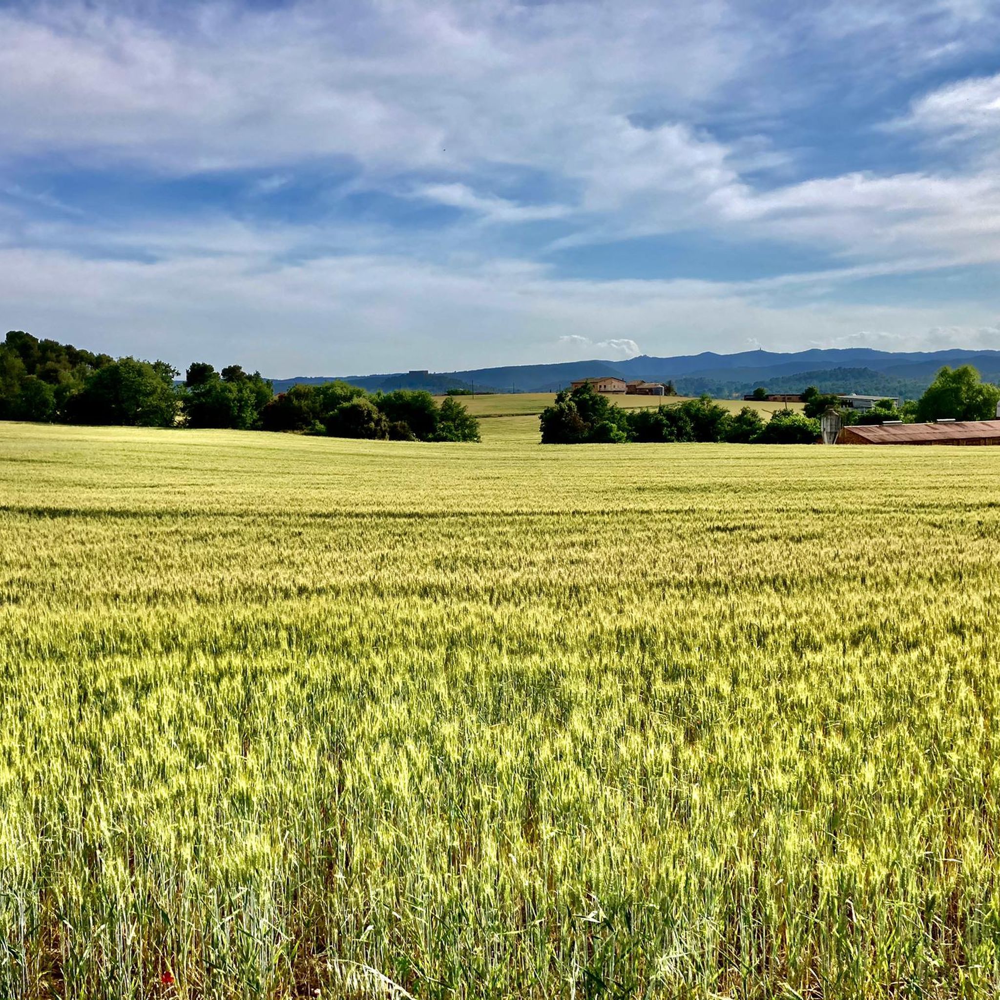
El Canyet del Muladar is a space to promote and conserve endangered dryland fauna. Joint project between Manresa City Council and Bages Biodiversity.
1
0

Salt residues from the Sallent mine.
1
0
발사라니 주변에서 가장 인기 있는 명소


더 살펴보기
발사라니 주변의 최고의 동굴을 찾기 위해 이 가이드를 확인해보세요:
