아길라르 데 세가라 최고의 워킹 & 하이킹 경로
4.3
(28)
358
등산객
39
하이킹
정확한 경로를 찾는 것이 때로는 어렵지만 아길라르 데 세가라에서 하이킹을 하면 다양한 경치를 마음껏 감상할 수 있답니다. 아길라르 데 세가라에서 가장 멋진 하이킹과 워킹 중에서 마음에 드는 활동을 시작해보세요.
마지막 업데이트: 8월 25, 2026
4.8
(4)
29
등산객
11.2km
03:23
330m
330m
보통 하이킹. 좋은 체력 필요. 실력과 관계없이 누구나 쉽게 갈 수 있는 길.
4.7
(3)
10
등산객
15.4km
05:01
600m
590m
어려운 하이킹. 우수한 체력 필요. 대부분 갈 수 있는 길. 미끄러지지 않게 조심해야 함.

무료 회원 가입
8
등산객
3.73km
01:13
170m
170m
초급용 하이킹. 모든 체력 수준에 적합. 실력과 관계없이 누구나 쉽게 갈 수 있는 길.
7
등산객
12.0km
03:31
320m
320m
보통 하이킹. 좋은 체력 필요. 실력과 관계없이 누구나 쉽게 갈 수 있는 길.
4.8
(4)
6
등산객
10.8km
02:59
180m
180m
보통 하이킹. 좋은 체력 필요. 실력과 관계없이 누구나 쉽게 갈 수 있는 길.
더 다양한 경로와 다른 탐험가들의 추천을 살펴보세요.
무료 회원 가입
이미 komoot 계정이 있나요?
투어 추천은 다른 사람들이 komoot에서 완료한 수천 개의 활동을 바탕으로 구성되어 있습니다.
오늘 무료 계정으로 시작하세요
다음 모험이 기다리고 있어요.
로그인 또는 가입하기
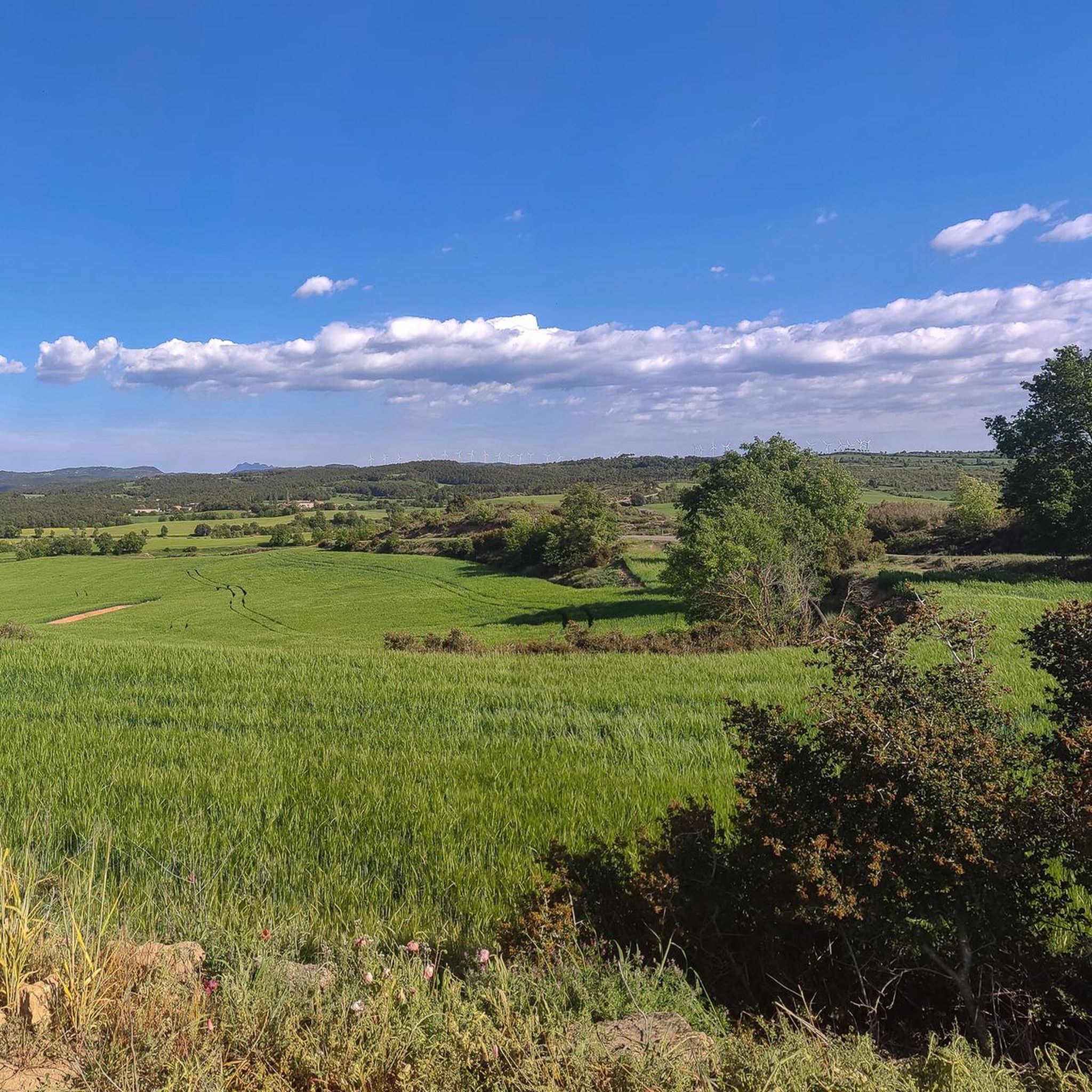
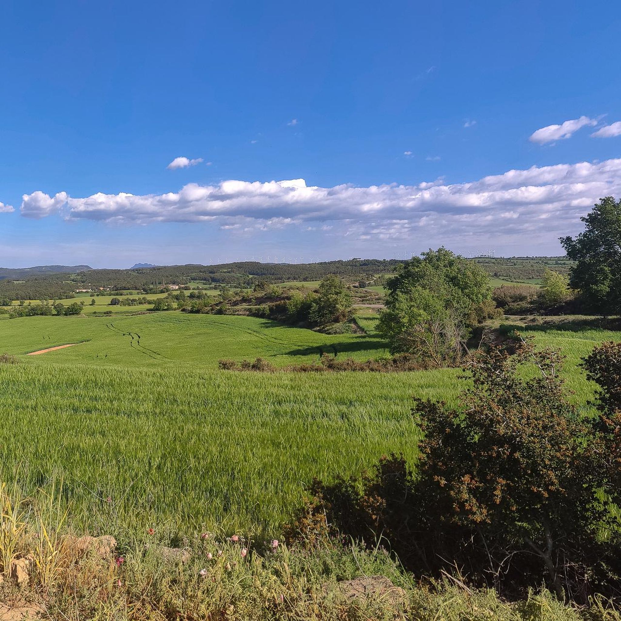
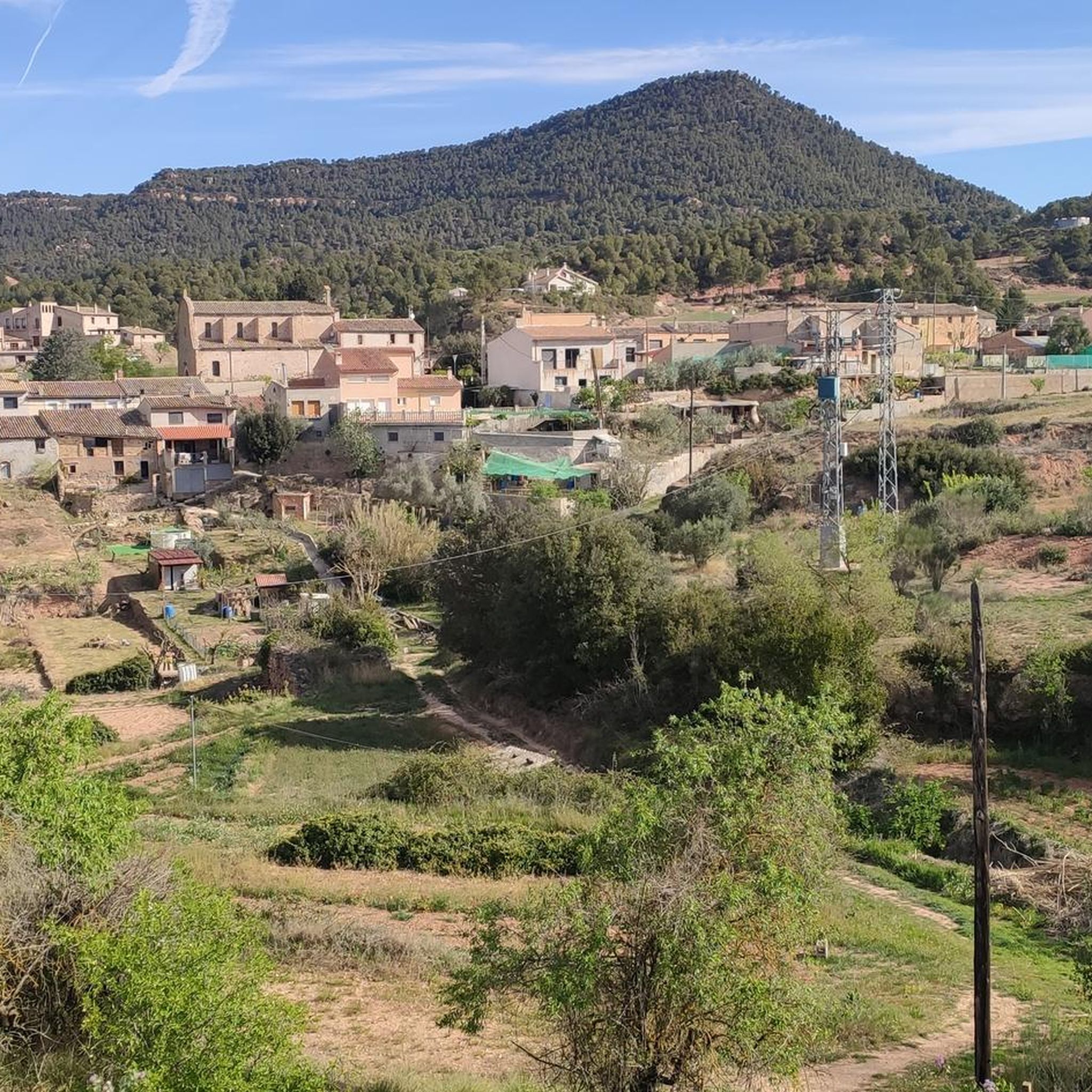
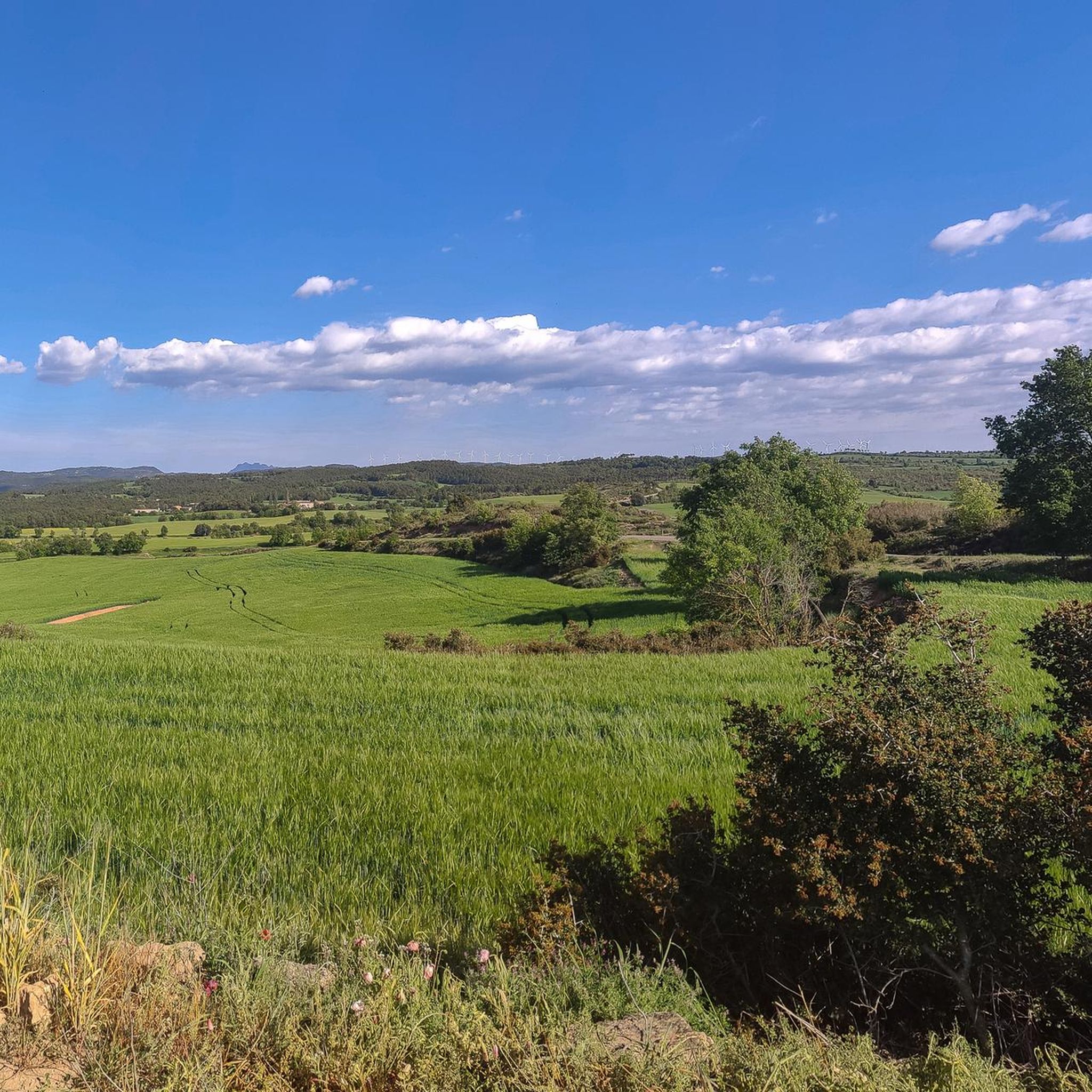

커뮤니티 팁

Historic center of Catalonia, more beautiful than the official one.
1
0


On January 22, 1939, Franco's troops occupied the summit of Cal Xamal, where General García Valiño installed the major plain, and deployed to the upper part of Pla de Fals. Some rudimentary coats that the soldiers made to spend the night can still be found. On the morning of the 23rd, the soldiers began to advance through the Plan, surrounding the group of houses in the Raval d'Oliveres. A republican machine gun, installed at the top of La Torra (see photo above), fired, while another fired from the corner of the boulder. Artillery responded and destroyed part of the construction. The machine gunners withdrew in the direction of Manresa. On the other side of Pla de Fals, on an elevated point in Les Costetes, another machine gun was placed there, which killed a non-commissioned officer of the nationals. In retaliation, the machine gun soldiers were shot. The next day, the owner of Grauet found the bodies of seven soldiers, and a patrol hung them all together. Because the grave was shallow, animals and rains soon uncovered some of the remains, and even today scattered bones of the soldiers are found. Since then, the place has been known as the "Plan of the Dead".
1
0
The Sagimona Tower, also known as "La Torra", is a square-plan farmhouse, covered on four sides and with ridges parallel to the facades. Although it is probably a work of the 17th century, much reformed in the 18th century, it was built next to an old medieval tower of the 11th century. This tower was probably a keep of the neighboring castle of Fals, built to control access through the corner of Pla de Fals and to protect the path from Fals to Rajadell. The tower is cylindrical, with an external diameter of 5.85m and a height of 14.25 metres. Surely, the people of Torreda should acquire rights over the land that surrounded it until it became a prosperous farm, which made the construction of the farmhouse possible. A set of 10 tubs are located on the west side of the building.
1
0
Hut cataloged with code: 6009 Construction type: Isolated aerial Orientation: Est Plant shape: Circular plant InfoType of door: Flat lintel InfoType of cover: False dome Condition: Perfect condition Restored: No Built on a small hill. Disused vineyard shed. Dateable 19th century. Cultivation of the dryland cereal zone. Interior with what could be a small fireplace.
1
0
Hut cataloged with the code: 5918 Construction type: Isolated aerial Orientation: Est Plant shape: Circular plant InfoType of door: Flat lintel InfoType of cover: False dome Condition: Perfect Restored state: No Disused vineyard shed. Dateable 19th century. Cultivation of the dryland cereal zone. Highlight the caramel.
1
0
Small fountain located in the vicinity of the Mas Massana, in the middle of a pine forest. As a built element, it is a small fountain built at the ground level on a small concrete pond that collects water from the fountain and drains it into a small channel.
1
0
On top of a hill stands a massive building of considerable height, the castle of Rajadell. At the time of the Reconquest, the Spanish Marca needed to control the border that delimited the Christian territory from the Muslim. The Riera de Rajadell valley therefore became a key natural passage for the defense and control of this border and the Rajadell castle was built to meet the need for defense of the valley. Other castles such as Castellar, Boixadors and Torres de Fals also made it possible to defend the enemy's territory. From the 13th century, the history of the castle was linked to the lineage of the Rajadell family, lords of the area who participated in wars such as those of Provence, Navarre, Almeria, Sardinia and Mallorca. In the course of the Generalitat's war against Joan II (in 1471) the castle and the church suffered a lot of damage and were inactive for a long period. In the 16th century the Rajadells were left without a legitimate heir and in 1515 the Cruïlles, who would later come together through marriage ties with the Eimerics, bought the manor. In the 17th century, the Cruïlles-Eimeric heiress, Anna, married Domenico de Pignatelli. From then on, the Pignatelli would be the lords of the castle, despite residing in Naples. At the end of the 19th century, the Princess of Belmonte, owner of the castle, sold the property to Francesc Pons from Manres. Built on top of a hill, next to the stream and the old town, the castle forms a set of three bodies. The first written documentation we find dates from 1063, although we can say that it corresponds to the Gothic period (one of the walls and decorative elements, which could be from the 13th or 14th centuries) and the 17th century. It is difficult, however, to establish which parts correspond to each moment because it has been rebuilt several times. Together with the church, it was the origin of the town of Rajadell. The main building, the tallest, still contains rooms from the different inhabited stages: the dungeon, the armory, the alcoves, the stable, the kitchen, the bedrooms, the dining room, etc. In the northern part of the complex we find the house that was inhabited by the farmers and a defensive turret that faces west. At the end of the 19th century, the Pons repaired the building and furnished it. However, during the civil war the castle was requisitioned by the revolutionary committee and all the valuables there were lost.
0
0
아길라르 데 세가라 주변에서 가장 인기 있는 명소


더 살펴보기
다른 지역의 최고의 하이킹를 살펴보세요.
