20의 발사라니가지 명소 & 주요 장소
발사라니에는 둘러볼 만한 장소가 많답니다. 하이킹 또는 사이클링을 좋아한다면 발사라니에 숨겨진 20
가지 보석을 만날 수 있을 거예요. 이 지역의 주요 명소를 살펴보면서 다음 모험을 계획해보세요.
마지막 업데이트: 9월 13, 2026
라 세키아 데 만레사
하이라이트 • 구조물
Its construction was highly problematic, as the Bishop of Vic opposed …
번역자 Google •
팁에 의해


이런 장소를 발견하려면 지금 가입하세요
최고의 싱글 트랙, 봉우리 및 다양한 흥미로운 야외 장소에 대한 추천을 받아보세요.
라 보초사 염분 폐기물 더미
하이라이트 • 구조물
The La Botjosa salt dump measures 775 meters long by an average width of 150 meters, occupies 13.5 Ha …
번역자 Google •
팁에 의해

La Séquia 운하 트레일
하이라이트 • 트레일
As a tribute to the people who built the irrigation canal between 1339 and 1383, which still provides a large flow of water to the city of Manresa …
번역자 Google •
팁에 의해

에스탄케 데 라 코르바테라
하이라이트 • 호수
This place is a passage area for migratory birds.
번역자 Google •
팁에 의해
무료로 가입하여 발사라니 주변의 더 많은 명소를 발견하세요.
이미 komoot 계정이 있나요?
오늘 무료 계정으로 시작하세요
다음 모험이 기다리고 있어요.

커뮤니티 팁

The Transéquia As a tribute to the people who built the irrigation canal between 1339 and 1383, which still provides a large flow of water to the city of Manresa today, the Young Chamber of Manresa began organizing the Transéquia in 1985. Starting from Balsareny, it passes through the municipalities of Sallent, Santpedor and Sant Fruitós de Bages and reaches the Parc de l'Agulla de Manresa. In 2014, the Fundació Aigües de Manresa - Junta de la Séquia took over from the Young Chamber and has been organizing it ever since.
0
0

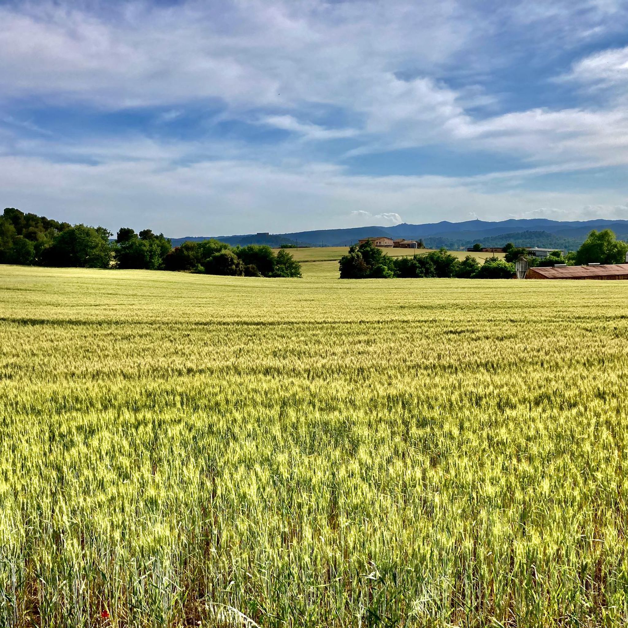
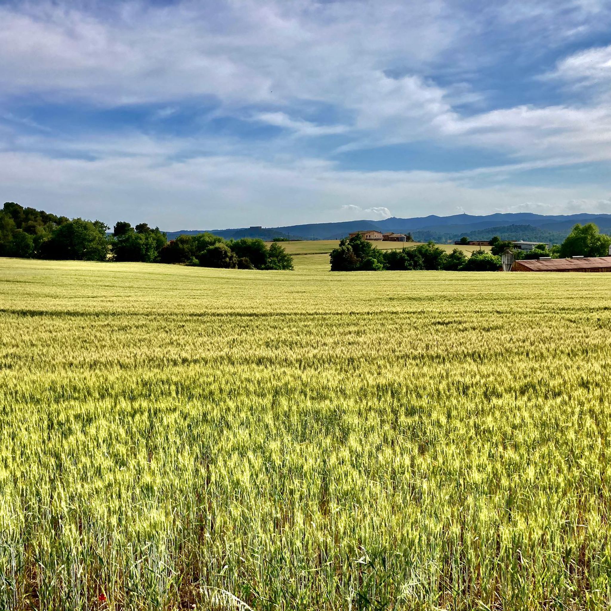
Space to relax and look towards Montserrat
0
0
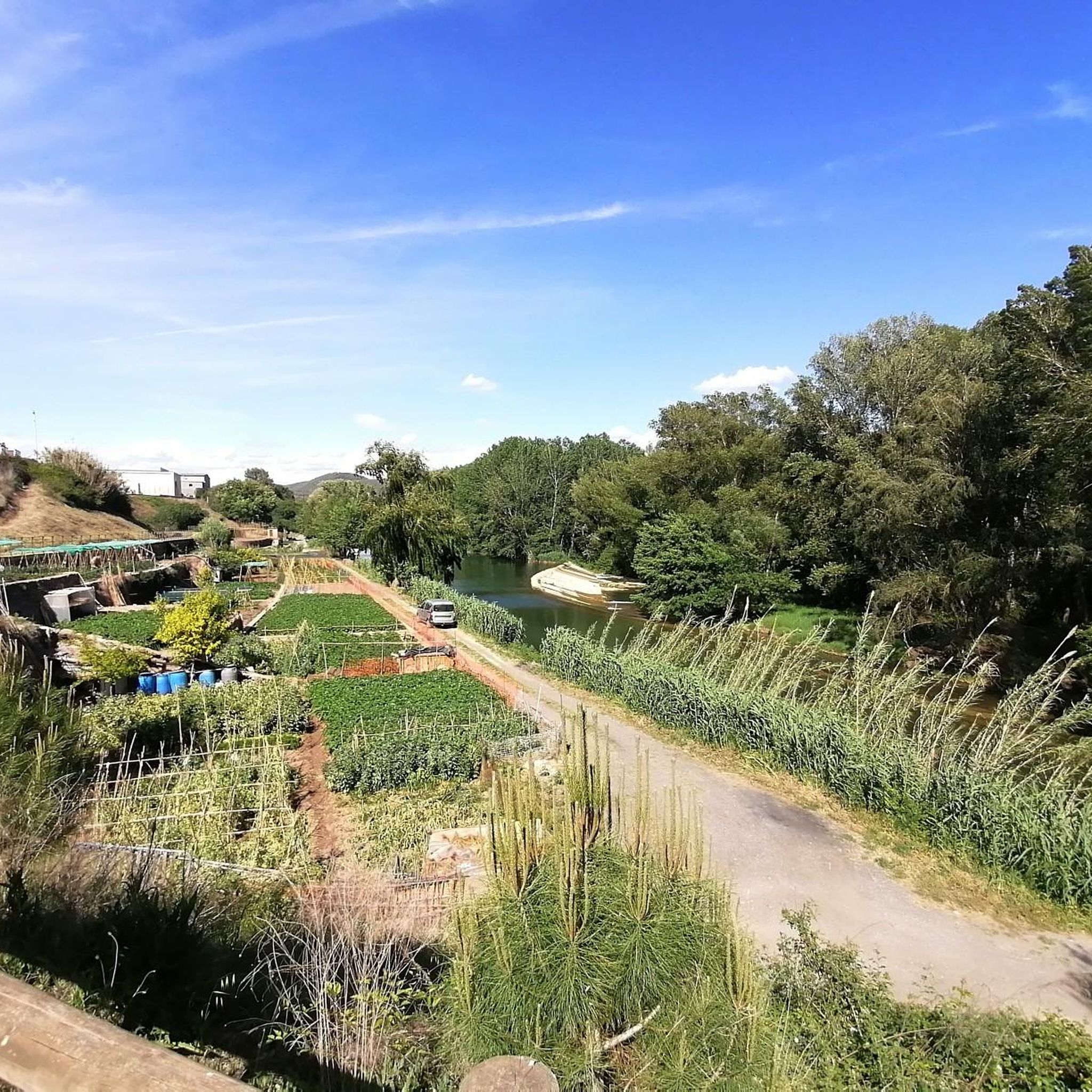
Place next to the river typical of the area
0
0

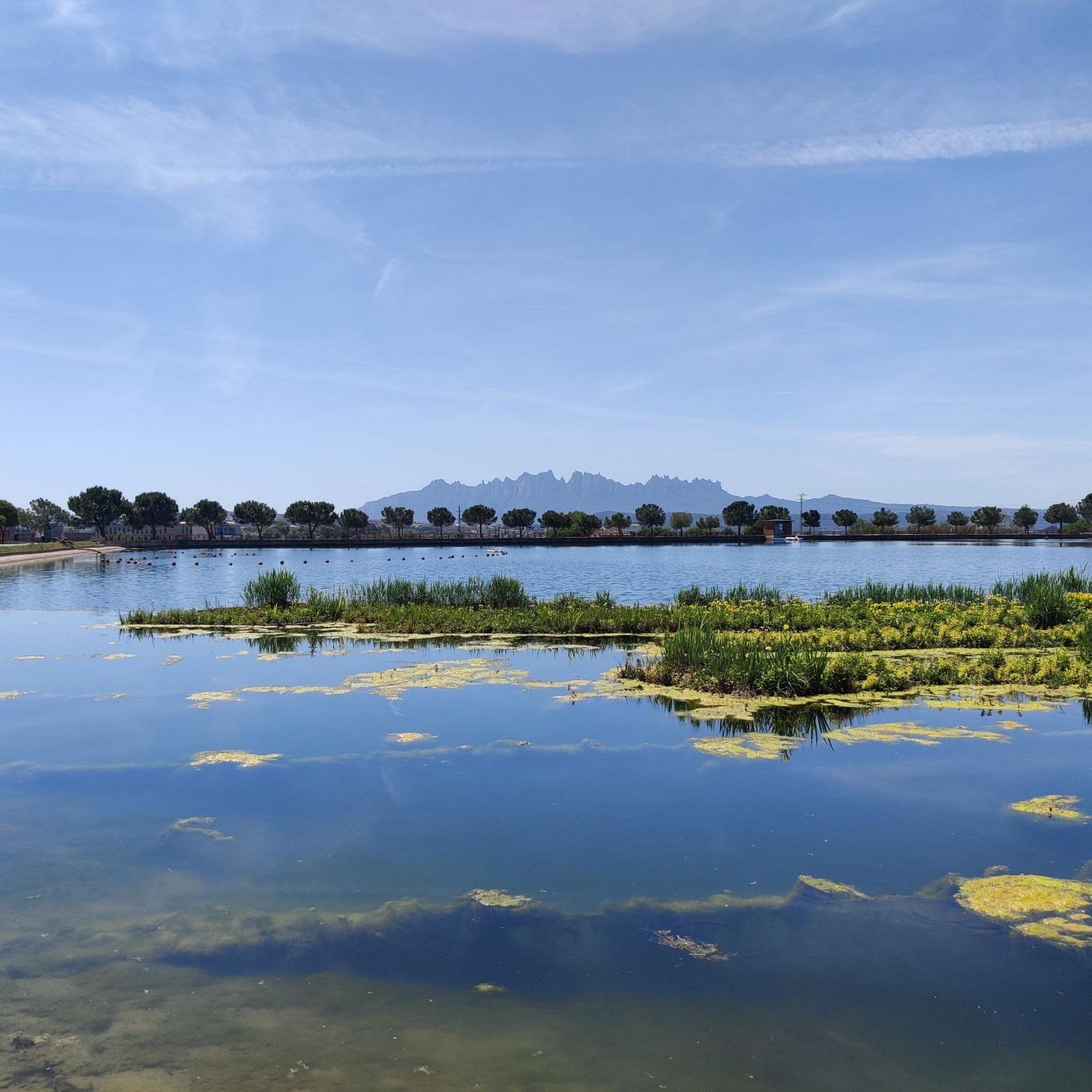
The Corbatera pond (Sallent) is a wet area that occupies the alluvial plain of the Llobregat river from Cabrianes to Pont de Cabrianes. This place is a passage area for migratory birds.
2
1
This 26-kilometre-long ditch that carries water to Manresa was built in the 14th century by the master Guillem Catà. Its construction was highly problematic, as the Bishop of Vic opposed its construction because it passed through the bishopric's land and threatened its promoters with excommunication. The bishop died before the works were finished and even so he really excommunicated the workers and the councilors of Manresa, in addition to interrupting the practice of the sacraments throughout the city. The bishop's successor maintained a more dialogue attitude, accepting the compensation offered by the city. However, legend has it that divine intervention became necessary, in the form of a mysterious light from Montserrat that entered through the stained glass windows of the Carmen church, at the same time that the bells began to ring by themselves. The bishop, seeing this phenomenon, regretted his position, but died shortly after, and his successor did not take long to reverse the situation and lift the excommunication.
1
1

Mountain of saline and other waste created between 1945 and 1977. The La Botjosa salt dump measures 775 meters long by an average width of 150 meters, occupies 13.5 Ha and its content is estimated at around 4 million tons of salty waste. Since the start of the new Cogulló dump in 1977, the potash mining of Sallent and Balsareny stopped dumping saline waste in La Botjosa. Since then, a considerable portion of the saline residues dumped in the La Botjosa dump has disappeared by dissolution in rainwater and air humidity, as evidenced by the geomorphologies in lapiaz on the slopes and dame coiffée where an object acting as an umbrella has protected the salt below
2
0

This park is a large reservoir with a nice trail around it for walking and biking. There is parking and a picnic area. It is a good place to relax or start or end an adventure.
2
0
A beautiful area of marshes next to the Llobregat.
1
1
발사라니 주변에서 가장 인기 있는 명소


더 살펴보기
찾고 있는 하이라이트를 아직 못 찾으셨나요? 다른 지역의 주요 명소 가이드를 확인해보세요:
