바워찰케에서 가장 멋진 6개의 천연기념물
천연기념물을 방문하여 바워찰케의 아름다운 풍경을 만나보세요. 바워찰케에 있는 6
개의 천연기념물과 상세 정보를 살펴본 후에 방문하고 싶은 천연기념물을 다음 모험 계획에 추가해보세요!
마지막 업데이트: 10월 4, 2026

Bokerley Dyke
하이라이트 • 트레일
팁에 의해

이런 장소를 발견하려면 지금 가입하세요
최고의 싱글 트랙, 봉우리 및 다양한 흥미로운 야외 장소에 대한 추천을 받아보세요.
Bokerley Ditch
하이라이트 • 역사적 장소
팁에 의해

Knowle Hill
하이라이트 (구간) • 자연 기념물
팁에 의해

팁에 의해

무료로 가입하여 바워찰케 주변의 더 많은 자연 기념물을 발견하세요.
이미 komoot 계정이 있나요?
오늘 무료 계정으로 시작하세요
다음 모험이 기다리고 있어요.


커뮤니티 팁

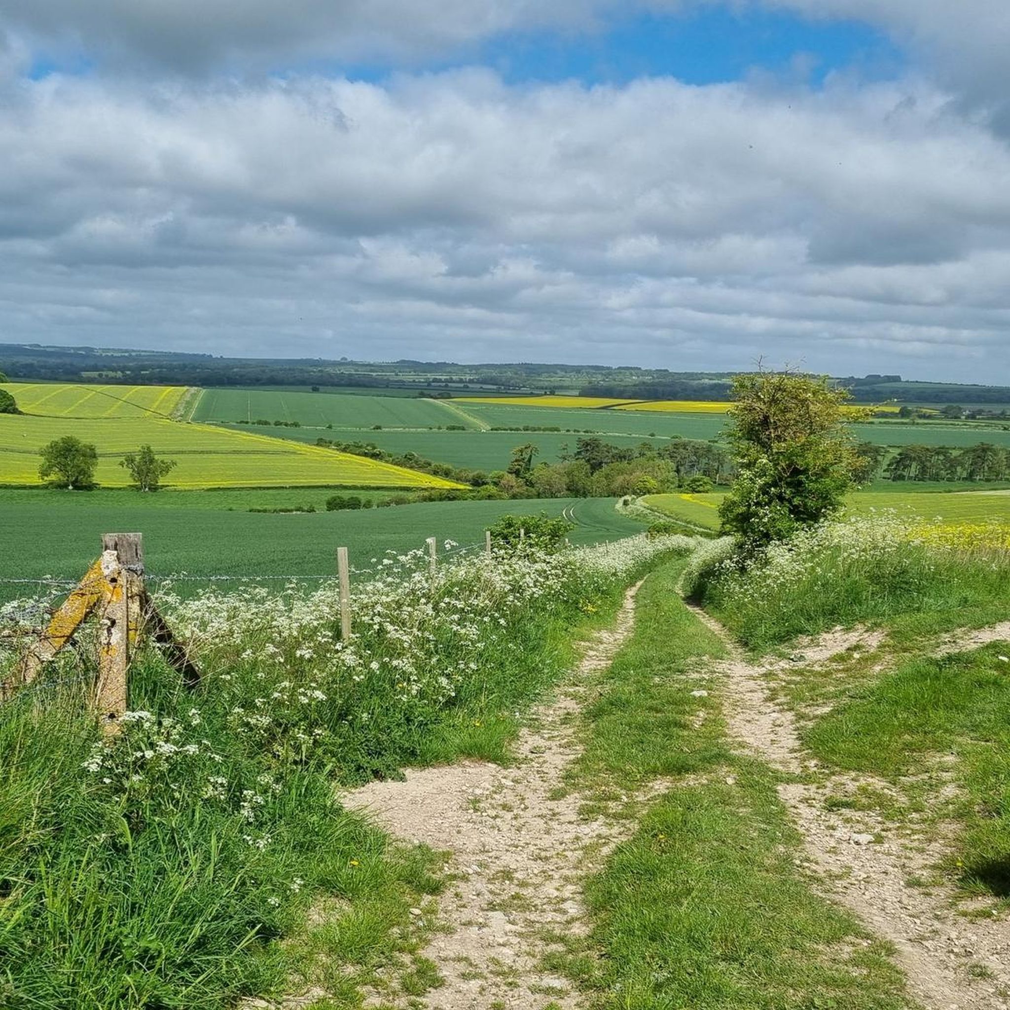
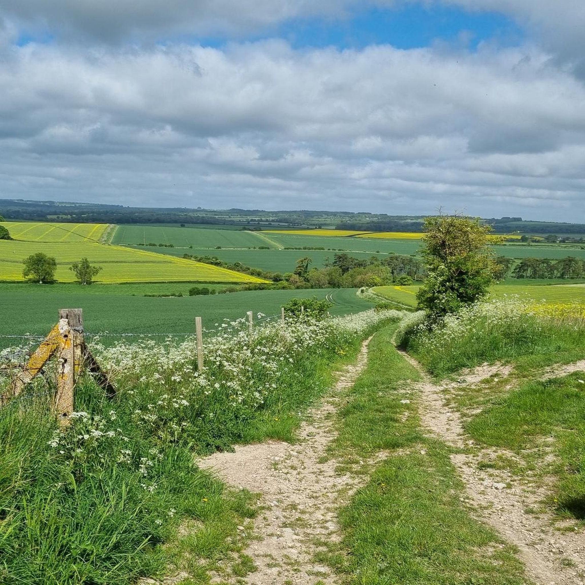
Bokerley Dyke is a substantial linear earthwork, approximately 5.75 kilometers (3.6 miles) long, located on Cranborne Chase. It runs along part of the border between Dorset and Hampshire, specifically between Woodyates and Martin. It is part of a larger Scheduled Monument that also includes Grim's Ditch and other earthworks. The dyke has a multi-period history. It is believed to have originated in the Bronze Age or Early Iron Age as an important political and cultural boundary. In the 1st century, it was cut through by a Roman road, Ackling Dyke, which ran between Old Sarum and Badbury Rings. In the 4th century, the dyke was remodeled and brought back into use. During this period, the Roman road was blocked. A coin of Valens found during excavations dates this activity to shortly after 364 AD, with some sources suggesting it was built between 367-368 AD. This remodeling may have been a defensive measure against attacks on Britain by Picts, Scots, and Saxons. The Roman road was eventually reopened, but the dyke may have continued to be used as a boundary after the Roman administration ended. Today, it still forms part of the border between the counties of Dorset and Hampshire.
0
0

End of April is the best for bluebells
1
0
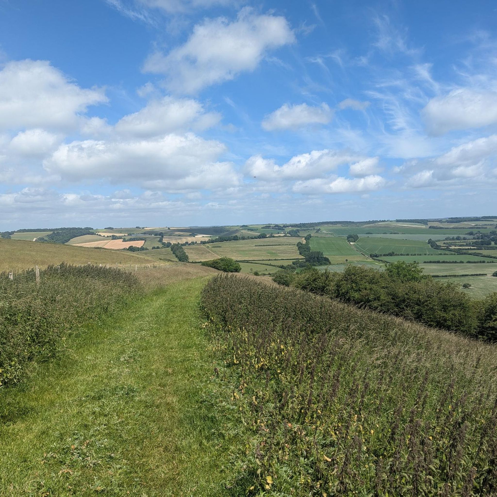
One of the most beautiful places in the south of England 🏴 and amazing views of Wiltshire and Dorset 🤩
0
0

Win Green at 277 m is the highest point on Cranbourne Chase. The tree topped summit also has a Bronze Age hill barrow, topography stone and trig point. Lots of great running loops from here as well as easy parking close by.
0
0
Walk here in the spring to find carpets of bluebells under the trees. The woods are great for other wildflowers as well, such as celandines, primroses and the tall spears of great mullein and foxgloves.
1
0
Win Green hill at 277m is the highest point on Cranborne Chase. The trig point affords panoramic views apart from the bit blocked by the little clump of trees on the summit. The beech trees are growing on a Bronze Age bowl barrow. It's managed by the National Trust and is often busy because it's close to a car park. Still very nice though!
0
0

Bokerley Dyke may have originated in the Bronze Age or Early Iron Age and formed a political and cultural boundary. It was cut through by a Roman Road (Ackling Dyke running between Old Sarum and Badbury Rings) in the 1st century.
0
0

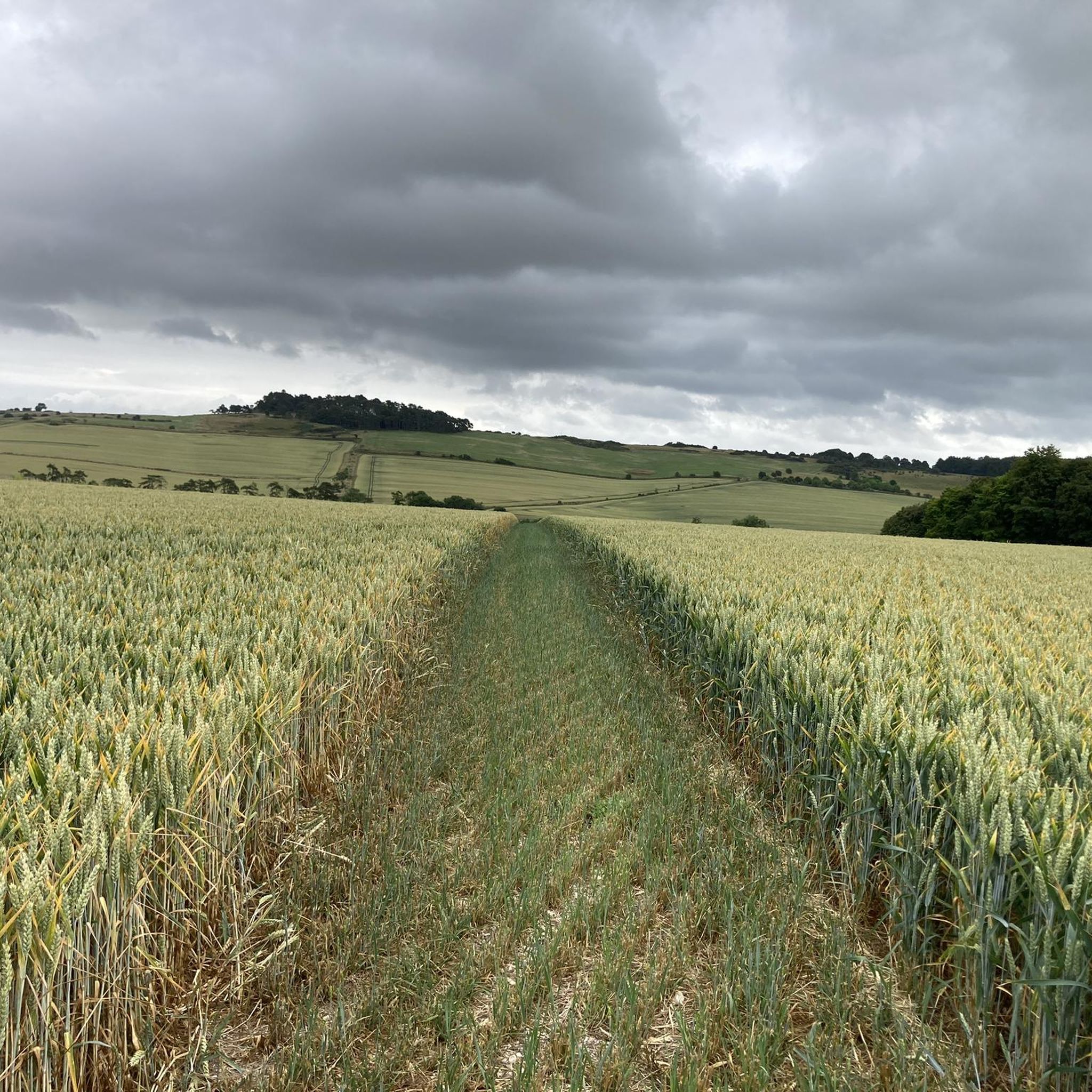
This is a great 6 mile 2 hour walk running through the glorious Rushmore Estate. Not a road to cross or walk on except those in the estate. Nice for dogs but they need to be kept on a lead for part of the walk due to animals.
2
0
바워찰케 주변에서 가장 인기 있는 명소


더 살펴보기
바워찰케 주변의 최고의 동굴을 찾기 위해 이 가이드를 확인해보세요:
