경로

플래너

기능

업데이트

App

로그인 또는 가입

앱 다운로드

로그인 또는 가입

경로
Places to see
Natural Monuments
영국
영국
사우스 웨스트 잉글랜드

세인트 아그네스

세인트 아그네스‬에서 가장 멋진 ‪19‬개의 천연기념물


천연기념물을 방문하여 세인트 아그네스의 아름다운 풍경을 만나보세요. 세인트 아그네스에 있는 19
개의 천연기념물과 상세 정보를 살펴본 후에 방문하고 싶은 천연기념물을 다음 모험 계획에 추가해보세요!

마지막 업데이트: 8월 10, 2026

Basset's Cove

하이라이트 • 자연 기념물

The 7.3 km long circular route takes you back to a time when Cornwall was covered by sea and then became a Europe-wide mountain range. The sedimentary rocks of this …

번역자 Google •

에 의해

하이킹 보기

휴대폰으로 전송

저장

Basset's Cove

하이라이트 (구간) • 전망대

GB: Basset's Cove provides a good overview of the high cliff with its narrow beach area. The sides of the cove are weathered to varying degrees, so that some parts …

번역자 Google •

에 의해

저장

이런 장소를 발견하려면 지금 가입하세요

최고의 싱글 트랙, 봉우리 및 다양한 흥미로운 야외 장소에 대한 추천을 받아보세요.

무료 회원 가입

클리가 헤드 해안 절벽과 유적지

하이라이트 • 전망대

While hiking along along Cligga Head you will find some cracking coastal views, but also some interesting evidence of the mining history. You are walking in the shoes of the miners who would walk along this path to work.

에 의해

저장

Cadjack Cove

하이라이트 (구간) • 해변

GB: In Cadjack Cove, in addition to large faults, many folds can be seen. These folds are formed in different scales ranging from a few inches to several hundred feet. …

번역자 Google •

에 의해

저장

홀리웰 동굴

하이라이트 • 해변

At low tide, you can find Holywell Cave under the southern cliffs of Kelsey Head. Whilst the cave entrance from the beach does not seem very large, if you follow …

에 의해

저장

무료로 가입하여 세인트 아그네스 주변의 더 많은 자연 기념물을 발견하세요.

무료 회원 가입

이미 komoot 계정이 있나요?

오늘 무료 계정으로 시작하세요

다음 모험이 기다리고 있어요.

로그인 또는 가입하기

세인트 아그네스 주변 인기 장소

전설적인 선교 여정을 통해 원시 시대와 야생의 아름다움 - Celtic Way

세인트 아그네스 하이킹

세인트 아그네스 러닝 트레일

세인트 아그네스 사이클링

세인트 아그네스 로드 사이클링 경로

세인트 아그네스 주변 그래블 라이딩

세인트 아그네스 MTB 트레일

세인트 아그네스 주변의 다른 모험

전설적인 선교 여정을 통해 원시 시대와 야생의 아름다움 - Celtic Way

하이킹 컬렉션 에 의해

Dan Hobson

커뮤니티 팁

Babs
8월 27, 2025, Basset's Cove

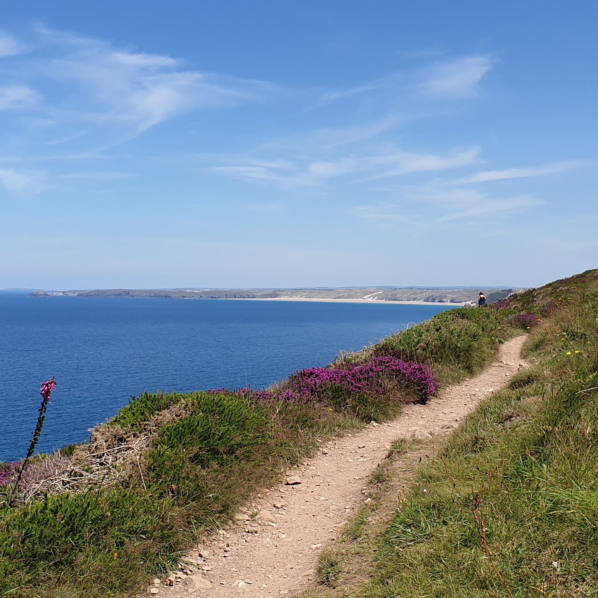
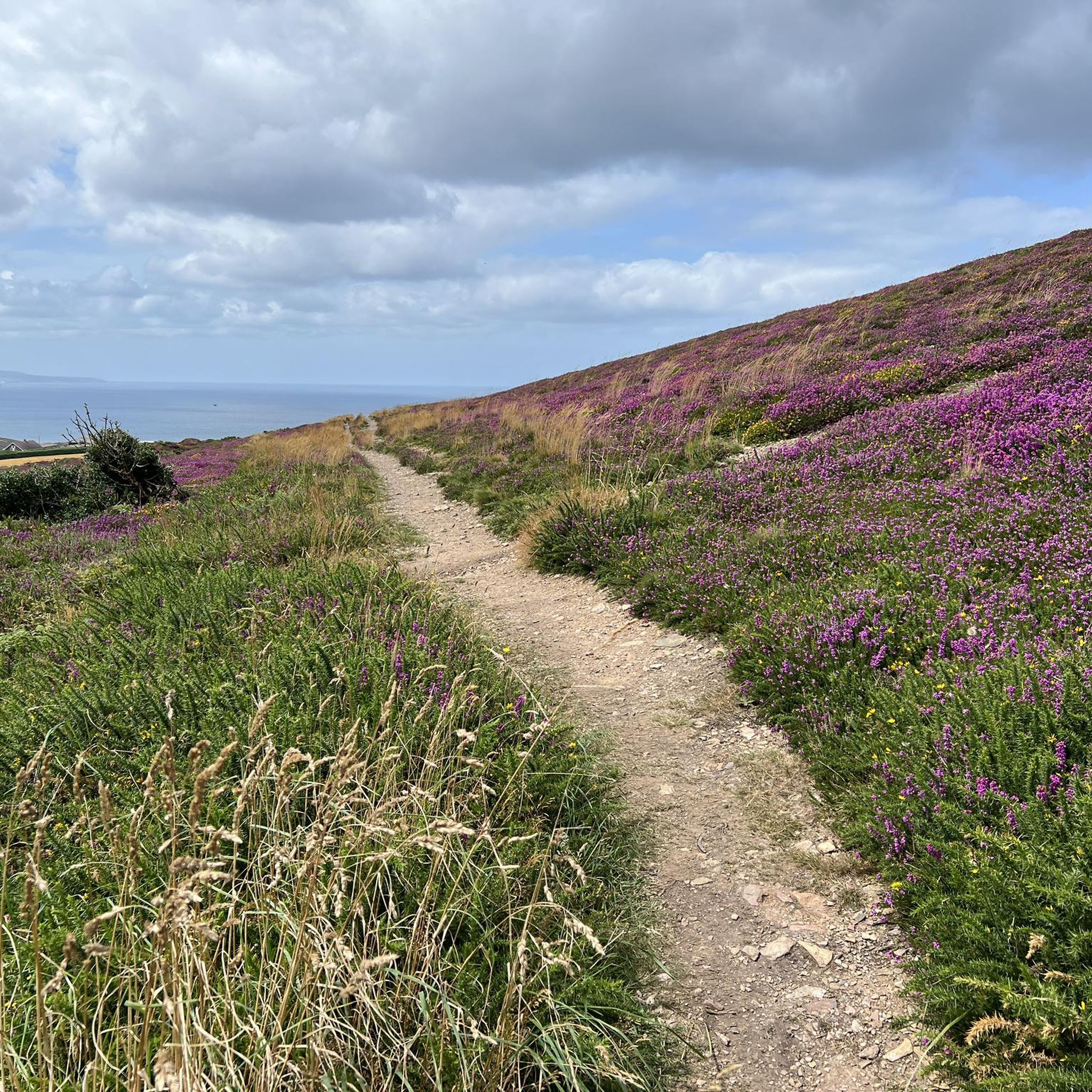
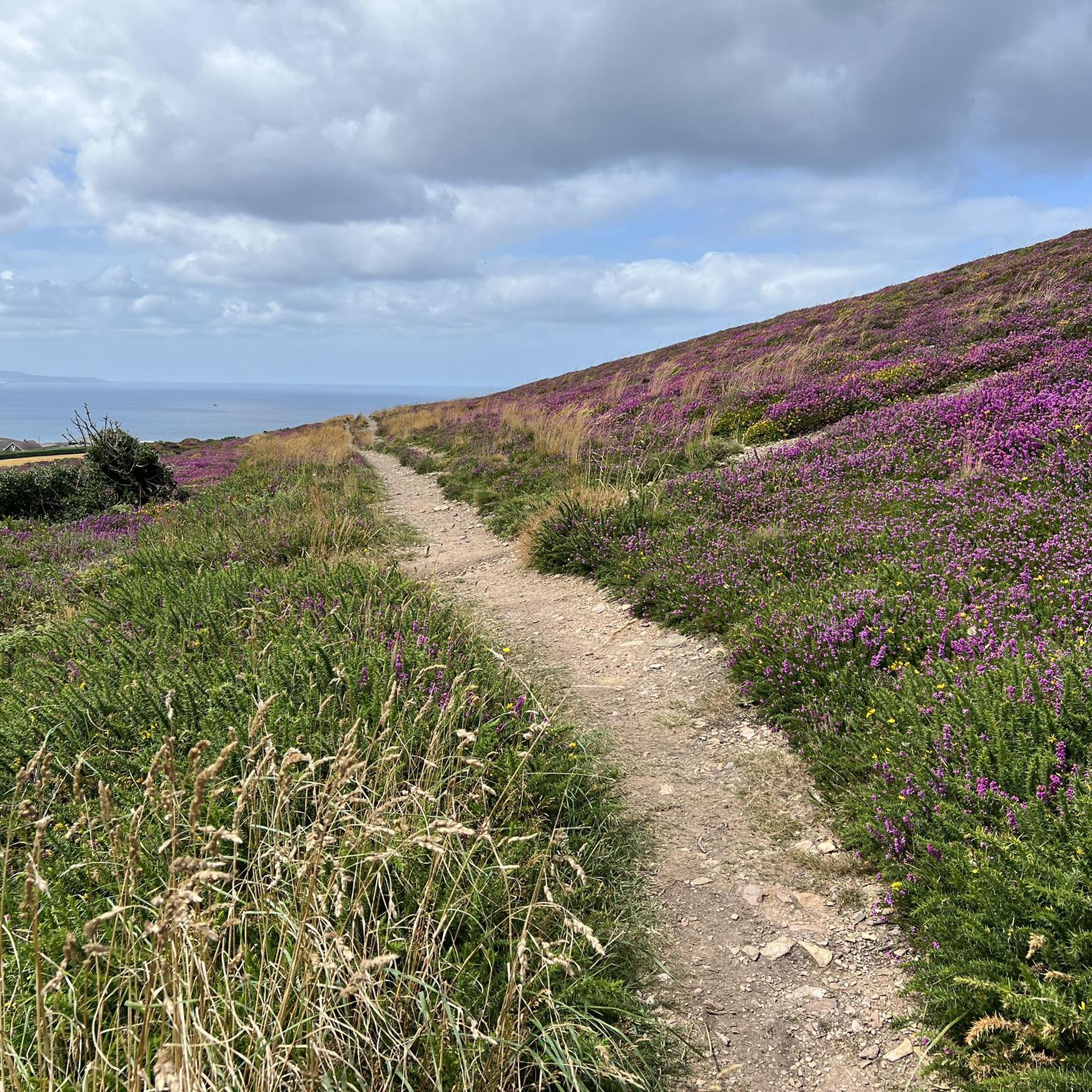
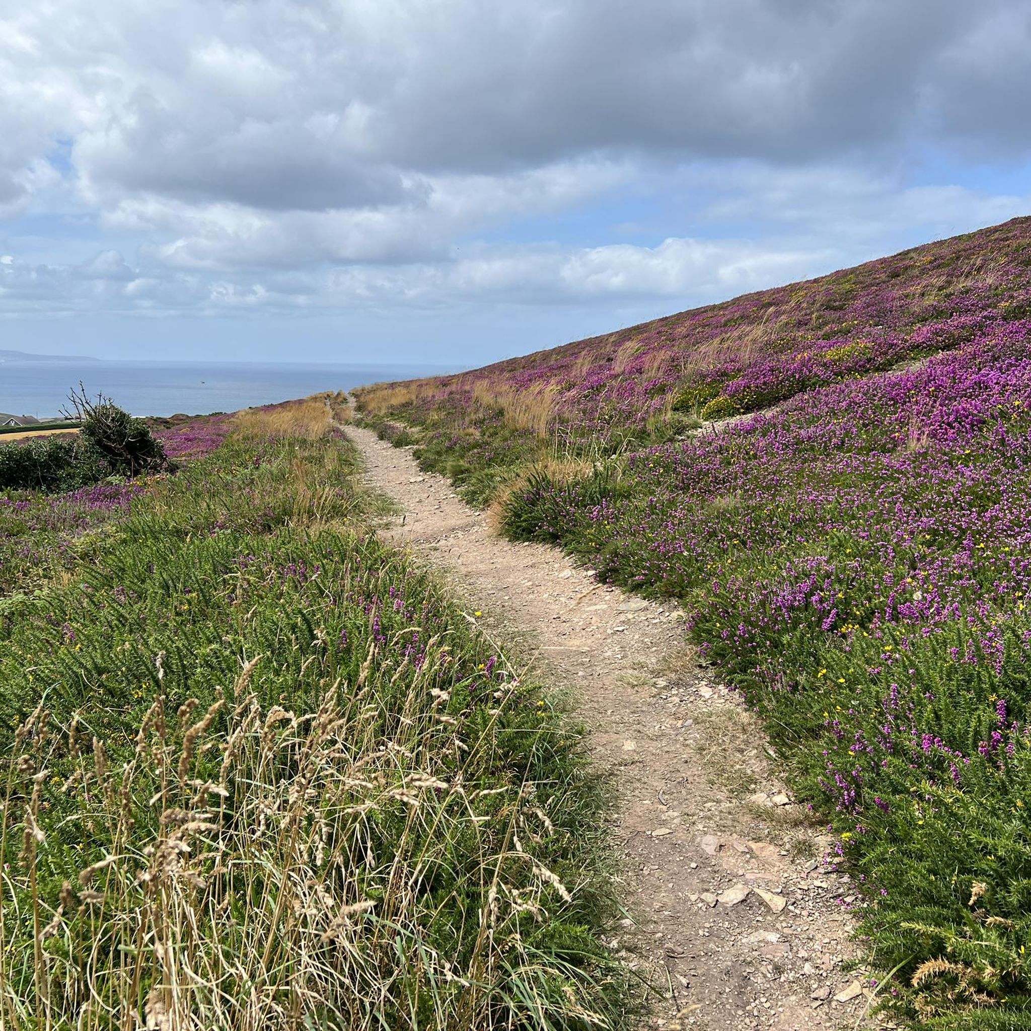
Breathtaking views. Especially when combined with the blooming heather!

번역: Google

0

0

A beautiful section of the SWC Path between Perranporth and St. Agnes. The walk to St. Agnes is about 8km long, with no major climbs but fantastic views.

번역: Google

0

0

Nej
9월 21, 2024, Basset's Cove

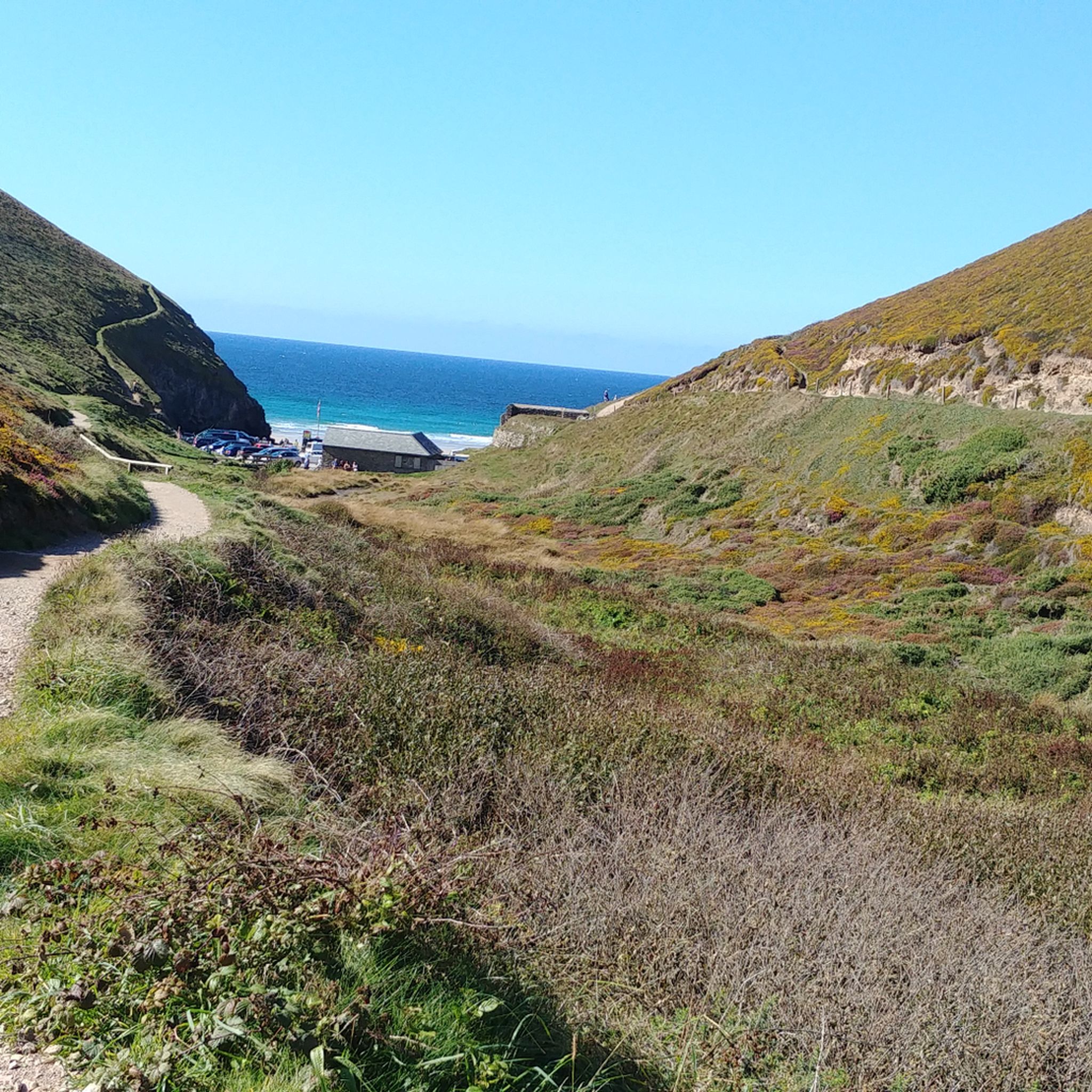
Naturist beach with views.

0

0

Site of Alfred Nobel's Munitions Factory. Active during WWI & WWII, mostly filling grenades and other explosives. I would recommend looking up the talking history clip on BBC Sounds. Also the site of Tungsten mining during the same time.

0

0

While running along along Cligga Head you will find some cracking coastal views, but also some interesting evidence of the mining history. You are running in the shoes of the miners who would take this path to work.

0

0

While hiking along along Cligga Head you will find some cracking coastal views, but also some interesting evidence of the mining history. You are walking in the shoes of the miners who would walk along this path to work.

1

0

GB: In Cadjack Cove, tectonic features can be seen, such as faults (described in ⑦) and folds, which were formed during the Variscan orogeny as a result of pressure from the south. These folds are formed on different scales and range from a few inches to several hundred feet. In addition, the folds show different openings and curves. Very narrow folds with pointed angles are called kink bands. However, the folds seen in this bay are not the main folds of orogeny but represent folds that are folded in themselves. Another special feature in this bay is the pink to dark red coloring of the rocks. This is caused by iron-rich water that runs down the cliffs. EN: Tectonic phenomena can be seen in Cadjack Cove, such as faults (described in ⑦) and folds, which were formed by pressure from the south during the Variscan Orogeny. These folds are formed at different scales and range from a few centimeters to several meters. The folds also show different openings and curves. Very tight folds with acute angles are called kink bands. However, the folds seen in this bay are not the main folds of the orogeny, but rather represent folds that fold into themselves. Another special feature in this bay is the pink to dark red color of the rocks. This is caused by iron-rich water running down the cliffs.

번역: Google

0

0

GB: Basset's Cove provides a good overview of the high cliff with its narrow beach area. The sides of the cove are weathered to varying degrees, so that some parts are mainly made up of debris. The weathering resistance of the cliffs depends on the rock from which they are formed. Sedimentary rocks usually weather more easily than igneous rocks (formed from melted rocks). In the bay below, it is mainly the siltstones and the clay shales that weather particularly easily. In addition, the lower part of the coastal cliffs is exposed to particularly strong weathering caused by the tides. Due to their resistance to weathering, the different rocks form cliffs and steep coasts of different heights. If the coastline consists mainly of sedimentary rocks, as is the case here, the cliffs reach a maximum height of 164 feet(50 m). In the Lands End area, the coasts are formed by granitic rocks and reach heights of more than 459 feet (140 m). Besides the differences in the rocks, the shape of the coast is also influenced by tectonic processes. EN: Basset's Cove provides a good overview of the high cliffs with their narrow beach area. The walls of the bay are weathered to varying degrees, so that some areas consist mainly of rubble. The weathering resistance of the cliffs depends on the rock from which they are made. Sedimentary rocks generally weather more easily than igneous rocks (formed from molten rock). In the bay below us, it is primarily the siltstones and slate that weather particularly easily. In addition, the lower area of the cliffs is particularly exposed to weathering due to the tides. Due to their resistance to weathering, the different rocks form cliffs and cliffs of different heights. If the coastline consists mainly of sedimentary rocks, as here, the cliffs reach a maximum height of 50 meters. In the Lands End area, the coasts are formed by granitic rocks and reach heights of more than 140 meters. In addition to the differences in rocks, the shape of the coast is also influenced by tectonic processes.

번역: Google

0

0

세인트 아그네스 주변에서 가장 인기 있는 경로

세인트 아그네스 하이킹

세인트 아그네스 주변에서 가장 인기 있는 명소

Places to see

Store rating

komoot 모바일 앱으로 영감을 받아보세요

무료 komoot 계정로 끝없는 야외 모험을 손쉽게 찾고, 맞춤 설정하며 길안내할 수 있어요.

또는

지금 komoot에 가입하세요

Store rating

더 살펴보기

세인트 아그네스 주변의 최고의 동굴을 찾기 위해 이 가이드를 확인해보세요:

데본도싯공중제비콘월윈스컴 & 샌드포드처칠버링턴링턴블래그돈반웰콩그레스베리콤프턴 마틴유블리록스톤웨스트 하프트리이스트 하프트리윈포드버트콤베Nempnett Thrubwell츄 스토크글로스터셔성스러운세인트엔델리온팍스턴세인트 부얀세인트 저스트세인트 브록세인트 이세이성 에르반패드스토세인트메린세인트 티스마드론윌트셔세인트 큐데이빗스토우출현카멜포드포라버리와 민스터레스뉴스세인트 줄리엇틴타겔세인트민버 저지대트레발가세넨오터햄세인트민버 고원모건 인 메니지퀴리그레이드 루안세인트 케번멀리언펜잔스세인트 레반세인트 아이브스힌튼 블웨트스토위-서튼에글로셰일웨이드브리지백웰세인트 제니스루트반츄 마그나세인트 에발컴튼 단도이스트 케넷에이브버리웨스트 오버턴윈터본 몽크턴프리슈트파이필드Mawgan-In-Pydar크로완오그본 세인트 앤드류스탠튼 세인트 버나드모든 통조림알톤셰힐세이버네이크말보로견인 과자헤일워브스토우세인트 브루워드마이클스토우버윅 바셋비숍 통조림윌콧휴이시퓨시밀턴 릴본제너윈터본 바셋올드본모르바세인트 마틴 인 메니지휘처치에칠햄프턴치즐돈케인샴배로우 거니우드버러트레네글로스칼네 없이콤프턴 바셋세인트 컬럼 메이저귀니어귀비안라운드웨이헤딩턴힐마튼던드리러샬우파본브로드 힌튼로튼밀든홀한햄 애벗매닝포드우튼 리버스클리프 피파드브로드 타운코르스톤한햄막스버리레드루스비숍스톤세인트 어쓰켈스톤패트니초상화오그본 세인트 조지완버러찰턴칸 브레아일로건야톤솔트포드건월로브로클리배스 앤 노스 이스트 서머셋뉴턴 세인트 로에마라지온비트톤팜버러리딩턴비칭스톡퍼블로롱 애쉬튼하이워스사우스 마스턴엔포드시작노턴 말리워드웬드론파손카멜리스톡클림스랜드세인트네오캠본노스 뉴턴노스 힐세인트클리어하이 리틀턴패링턴 거니올드랜드차필드윅 앤 앱슨노스 스토크필닝 앤 세번 비치램스버리언덕콜드 애쉬튼도인톤감옥이스턴베이던스토크 기포드윈터본잉글리쉬컴블리스랜드알타르눈세인트 블레즈칼리온칼네애보츠 리세인트 오스텔 베이제이콥스토우르치폰트레드린치세인트 에웨어오스트세인트 힐러리시스톤세인트 메완찰콤다이럼과 힌튼솔즈베리마든르바닉리디아드 트레고제필턴올드버리-어폰-세번데비즈윌스포드알링턴레잔트멘헤니오트타이워드리스와 파모웬스토사우스 뉴턴마시필드레버스톡세인트 아이브사우스 힐체이스워터아몬드베리스탠튼 드류펜테완 밸리다운엔드 & 브롬리 히스치튼콜링턴트레버빈세인트 오스텔성일라너세인트 마이클의 마운트네더라본피틀턴락솔과 페일랜드던포드우드포드에임즈버리윈터본이드미스톤워레건린킨혼마켓 래빙턴케티오크브롬햄

근처 어드벤처 가이드

체이스워터 즐길거리

background

새로운 정복을 위한 준비를 하세요

무료로 가입하기

탐험하기
경로경로 플래너기능바우처 사용하이킹MTB 트레일로드 사이클링 경로바이크패킹사이트맵
앱 다운로드
소셜 미디어에서 팔로우하기

© komoot GmbH

개인 정보 보호 정책