라운드웨이에서 가장 멋진 20개의 천연기념물
천연기념물을 방문하여 라운드웨이의 아름다운 풍경을 만나보세요. 라운드웨이에 있는 20
개의 천연기념물과 상세 정보를 살펴본 후에 방문하고 싶은 천연기념물을 다음 모험 계획에 추가해보세요!
마지막 업데이트: 9월 7, 2026
아브베리 석조 원형
하이라이트 • 기념물
팁에 의해


이런 장소를 발견하려면 지금 가입하세요
최고의 싱글 트랙, 봉우리 및 다양한 흥미로운 야외 장소에 대한 추천을 받아보세요.
웨스트 케넷 롱 배로우
하이라이트 • 역사적 장소
팁에 의해

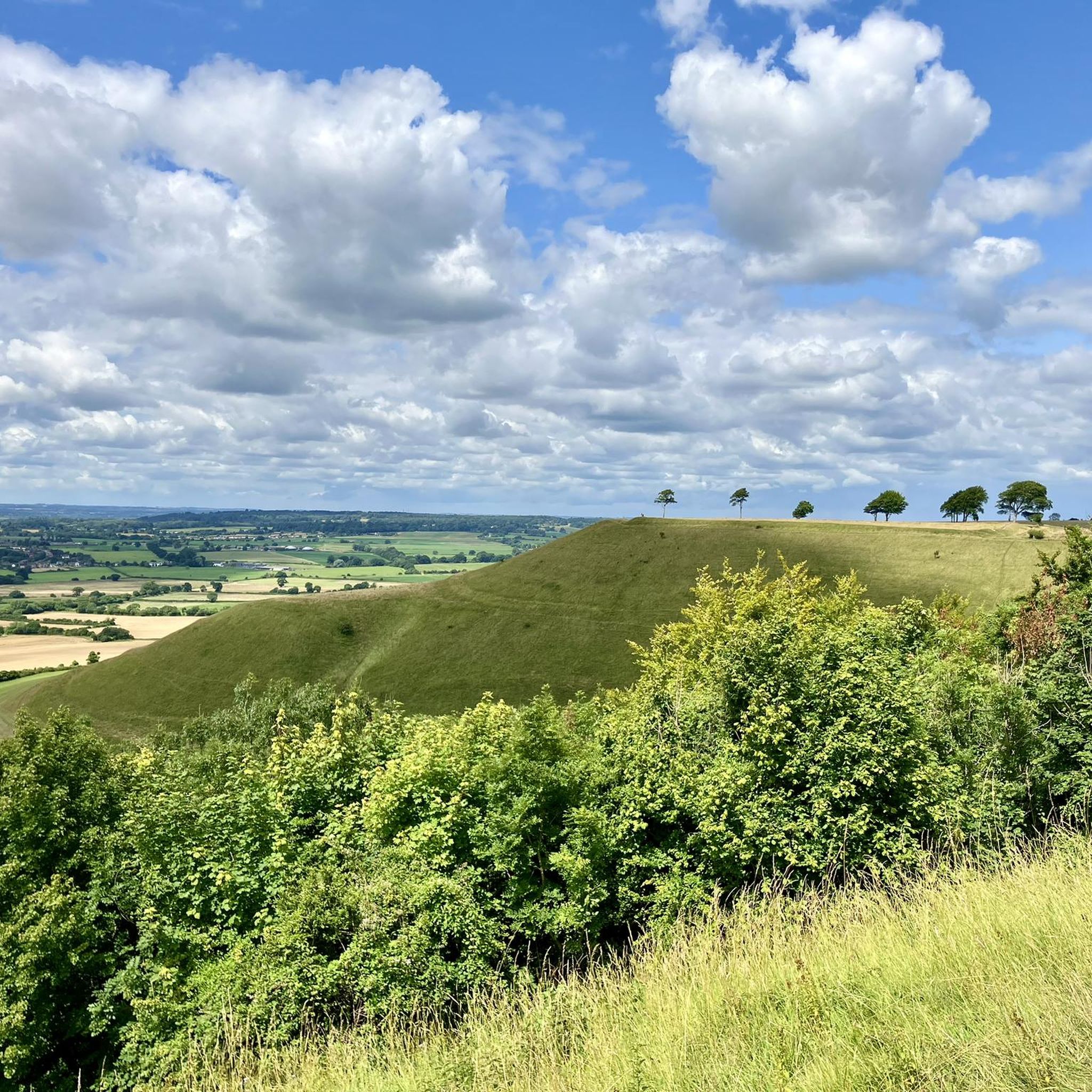
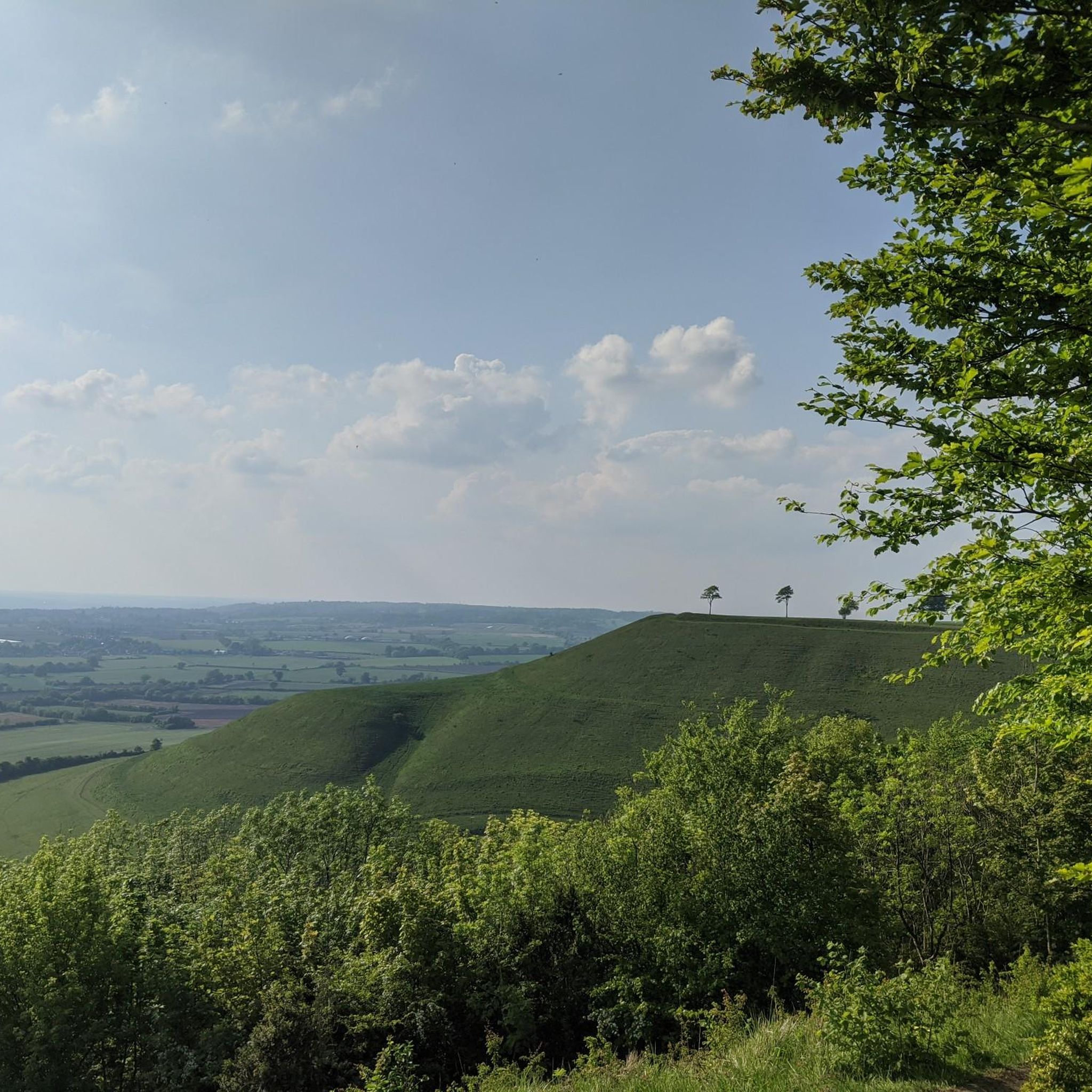
Cherhill 화이트 호스
하이라이트 • 자연 기념물
팁에 의해
오늘 무료 계정으로 시작하세요
다음 모험이 기다리고 있어요.
커뮤니티 팁


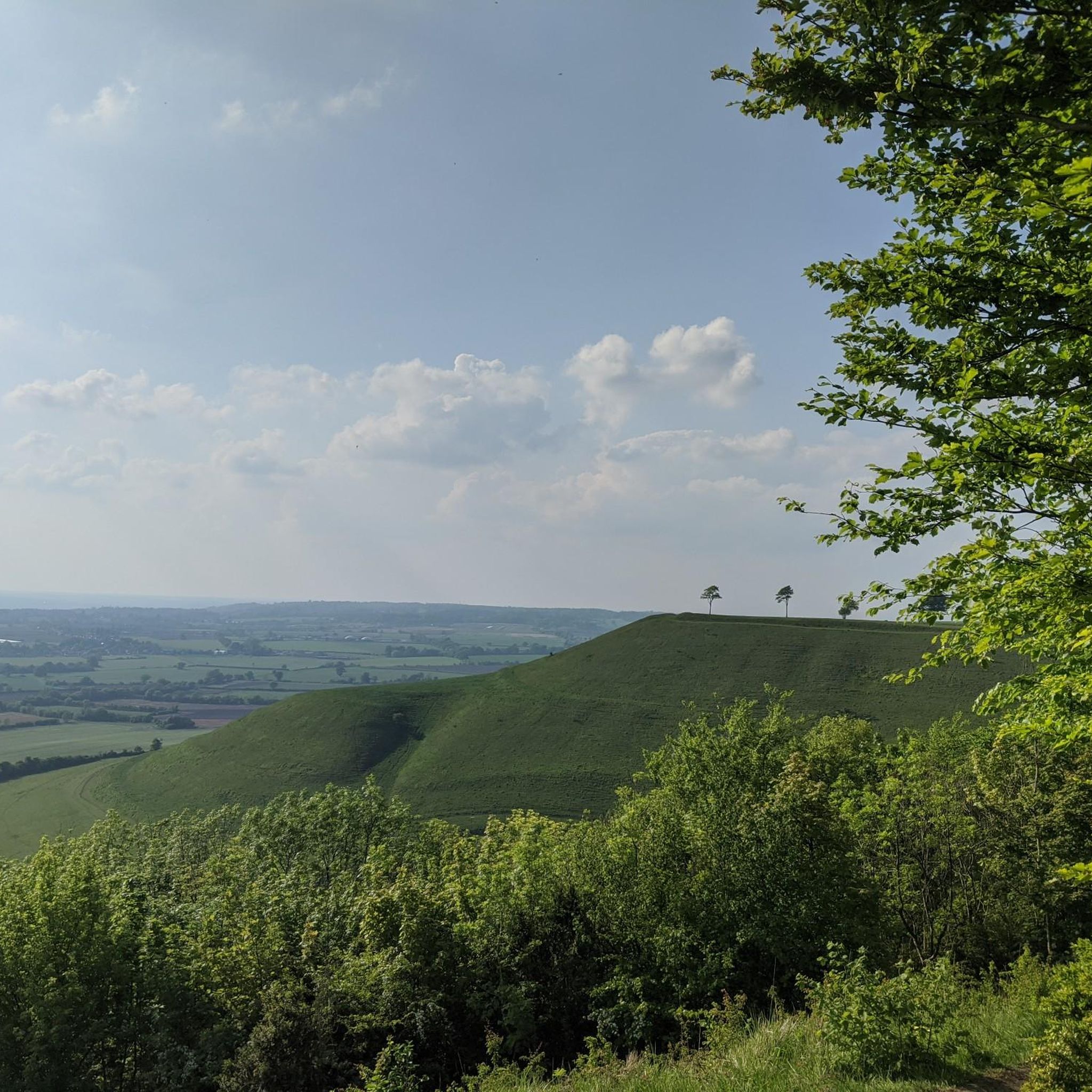
Sidbury Hill, or Sidbury Camp, is the site of an Iron Age bivallate hillfort on the eastern edge of Salisbury Plain in Wiltshire, England. The site is sub-triangular in shape, approximately 17 acres in area, and is constructed on the site of a Neolithic settlement. The hill offers excellent defensive slopes on all sides, which have been supplemented by the double ditch and rampart earthworks. The settlement and hillfort were partially excavated in the 19th century and the 1950s; there were finds of pottery and other artefacts. A Neolithic settlement site was discovered during the excavation in the 1950s, being of a section of the south-east rampart of the hillfort. A number of flint flakes and tools were recovered. The site is a scheduled national monument. Trees planted in the 1960s were removed from 2002 and the area was allowed to revert to the natural chalk downland. Access to the site is difficult as it is on, or near, Ministry of Defence land, and there are many tank tracks and occasional artillery firing in the area. There are also numerous ditches, barrows, trackways, field systems, and tumuli in the area. Due to erosion issues climbing on the barrow is now forbidden. Such a shame, but understandable.
1
0
A well preserved bell barrow, the mound of which measures 22m in diameter and stands up to 2.8m high. The mound is surrounded by a berm up to 5m in diameter and a ditch 0.7m deep and up to 6.2m wide. One of these two bell barrows produced a sherd of Bronze Age pottery and a fragment of a polished greenstone axe, both found by Owen Meyrick. A bell barrow, the mound of which measures 24m in diameter and stands 2.7m high. The berm and ditch which surround this barrow have been levelled by cultivation on three sides but survive as buried features on the fourth. From measurements on the western side it can be seen that the berm is c.3m wide and that the ditch is c.5m wide.
0
0
Who wouldn't want to walk into a neolithic burial chamber? anybody? no? didn't think so!!! It was amazing!!! The monument includes six prominent Bronze Age round barrows which form part of a larger round barrow cemetery north-east of West Kennett Farm and west of the Ridgeway track on Overton Hill. This is the site of a round barrow which, despite being ploughed level, will contain archaeological information; the old ground surface beneath the mound and the surrounding quarry ditch, from which material was quarried during construction of the monument, will survive as buried features. The area of the mound has a diameter of 33m; the surrounding ditch is c.2m wide. A bowl barrow, the mound of which measures 41.5m in diameter and stands up to 1.2m high. The mound is surrounded by a ditch which has become infilled over the years but which survives as a buried feature c.3m wide. This barrow has been partially excavated on two occasions, in 1857 by Thurnham and again in 1882 by W & H Cunnington. The primary cremation burial was not located but two secondary cremations were recovered. One was located north- west of the centre of the mound and was accompanied by a flint scraper and a serrated flint flake; the other was situated east of the centre and contained pottery sherds of two vessels, a beaker and an urn, as well as a piece of antler and several bone pins. A bowl barrow, the mound of which measures 42m in diameter and stands up to 0.7m high. The barrow has been partially excavated on two occasions, in 1857 by Thurnham and in 1882 by Ponting. These revealed that the barrow mound contained a crouched skeleton in a grave partly lined and roofed with sarsens. This was covered by a sarsen cairn, itself ringed by a double circle of sarsen stones c.1m outside the edge of the cairn. There was no evidence of a ditch around this barrow. Other finds included a later crouched skeleton covered with sarsen stones, the skeleton of a child, three large urns full of burnt bones and the perforated head of a bone pin. A well preserved bell barrow, the mound of which measures 26m in diameter and stands up to 3m high. The mound is surrounded by a gently sloping berm or platform c.3m wide and a ditch 0.5m deep and up to 6.4m wide.
0
0
Adam’s Grave on Walker's Hill in Alton, the most dramatically located Neolithic long barrow in Wiltshire and the site of battles in 592 and 715. The area surrounding Walker's Hill is pitted and speckled with barrows and ditches of many sizes and shapes.
0
0


Milk Hill 294m, Pewsey Down, Wiltshire (County High Top). A longish but easy walk over undulating hills to get Milk Hill, the county top for Wiltshire. Thought I would do Tan Hill as well to bag a trig point. Turns out there was no summit marker on Milk Hill or a Trig Point on Tan Hill. Still, a lovely walk and well worth doing. Took Walkers Hill as well which is a great historic tomb. Route Statistics: Easy undulating trails with minimal ascent really. 9.2km done in 2hrs with 250m of height gain.
2
1
A stunning little walk around the beautiful little village of Avebury home of the world's largest Neolithic stone circle along with stone avenues and ancient tombs. Much of Avebury and the surrounding landscape is owned and cared for by the National Trust and is free to explore for everyone all year round.
3
0
라운드웨이 주변에서 가장 인기 있는 명소


더 살펴보기
라운드웨이 주변의 최고의 동굴을 찾기 위해 이 가이드를 확인해보세요:
