스트랫퍼드 토니에서 가장 멋진 5개의 천연기념물
천연기념물을 방문하여 스트랫퍼드 토니의 아름다운 풍경을 만나보세요. 스트랫퍼드 토니에 있는 5
개의 천연기념물과 상세 정보를 살펴본 후에 방문하고 싶은 천연기념물을 다음 모험 계획에 추가해보세요!
마지막 업데이트: 9월 7, 2026
Bokerley Dyke
하이라이트 • 트레일
팁에 의해

Bokerley Ditch
하이라이트 • 역사적 장소
팁에 의해

이런 장소를 발견하려면 지금 가입하세요
최고의 싱글 트랙, 봉우리 및 다양한 흥미로운 야외 장소에 대한 추천을 받아보세요.

Knowle Hill
하이라이트 (구간) • 자연 기념물
팁에 의해


오늘 무료 계정으로 시작하세요
다음 모험이 기다리고 있어요.


커뮤니티 팁

Bokerley Dyke is a substantial linear earthwork, approximately 5.75 kilometers (3.6 miles) long, located on Cranborne Chase. It runs along part of the border between Dorset and Hampshire, specifically between Woodyates and Martin. It is part of a larger Scheduled Monument that also includes Grim's Ditch and other earthworks. The dyke has a multi-period history. It is believed to have originated in the Bronze Age or Early Iron Age as an important political and cultural boundary. In the 1st century, it was cut through by a Roman road, Ackling Dyke, which ran between Old Sarum and Badbury Rings. In the 4th century, the dyke was remodeled and brought back into use. During this period, the Roman road was blocked. A coin of Valens found during excavations dates this activity to shortly after 364 AD, with some sources suggesting it was built between 367-368 AD. This remodeling may have been a defensive measure against attacks on Britain by Picts, Scots, and Saxons. The Roman road was eventually reopened, but the dyke may have continued to be used as a boundary after the Roman administration ended. Today, it still forms part of the border between the counties of Dorset and Hampshire.
0
0

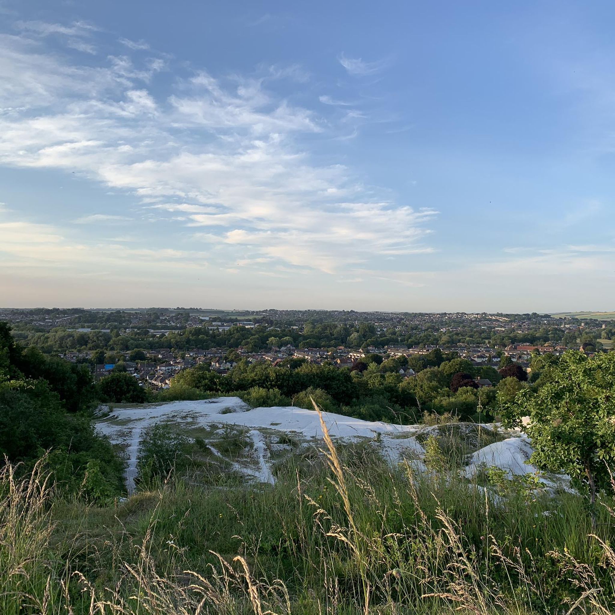
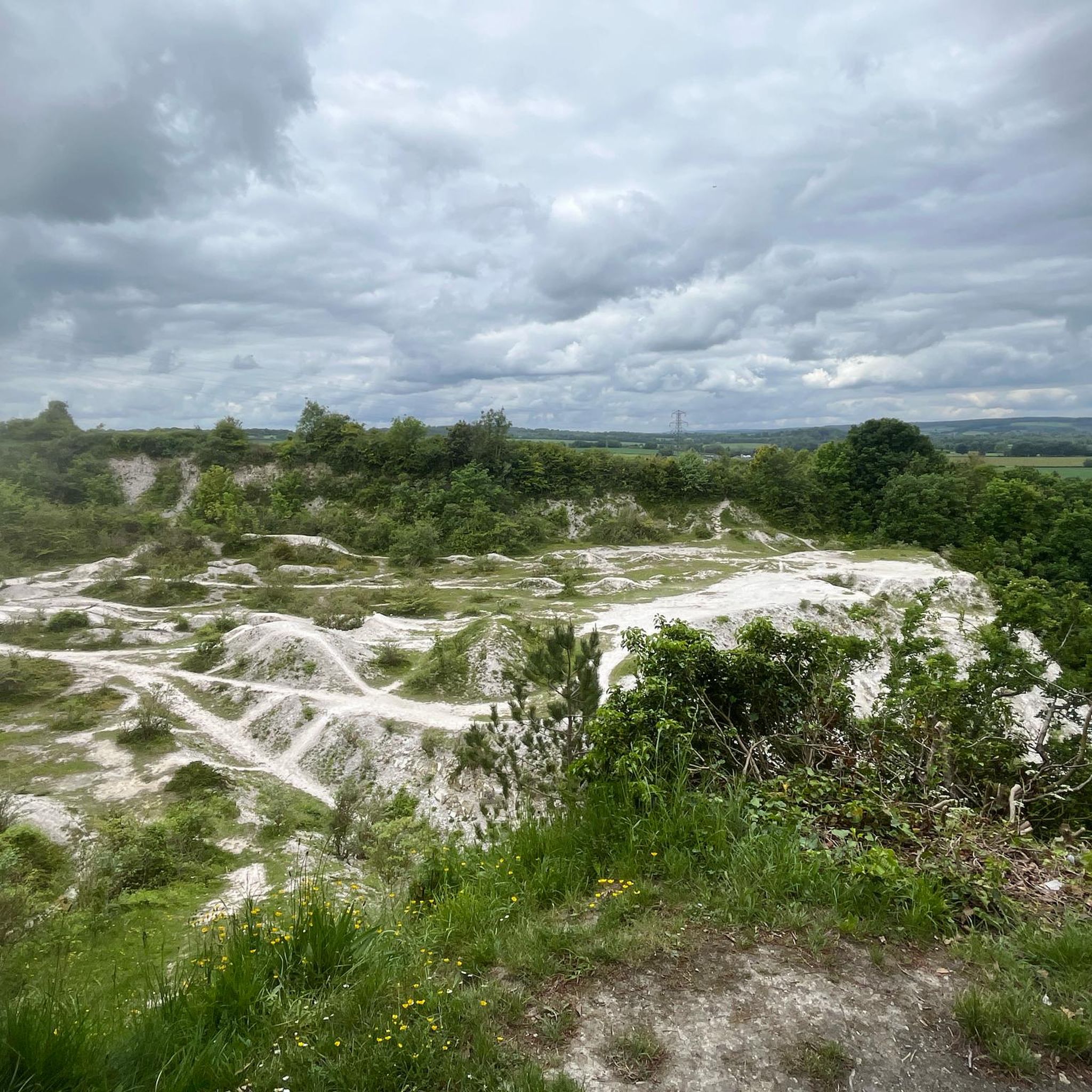
‘Harnham Chalk Pit’ as it is marked on maps, is a long-abandoned chalk quarry that has been taken back by nature. Several different levels accessed with paths that scramble up the quarry sides. I imagine they will be lethal after recent rainfall! Loads of butterflies and wildflowers seen today (August). Unfortunately litter appears to be an issue here, not excessive but noticeable. It baffles me why anyone leaves rubbish indiscriminately in locations like this. Great distant view of Salisbury Cathedral from upper levels.
0
0

The Miz Maze is a unique and fascinating attraction located in the heart of the English countryside. The maze invites visitors of all ages to have fun and explore the intricate network of hedges and try to find their way out.
1
0
Bokerley Dyke may have originated in the Bronze Age or Early Iron Age and formed a political and cultural boundary. It was cut through by a Roman Road (Ackling Dyke running between Old Sarum and Badbury Rings) in the 1st century.
0
0

This ancient earthwork lies on the Hampshire/Dorset Border, on the western edge of Martin Down. Estimates put the ditch's creation in the Bronze or Early Iron Age after which it was cut by the Romans to create one of their typically straight roads. Today, the ditch still forms part of the county border and offers plenty of wonderful hiking trails with vibrant wildlife.
2
0

Really good place to go for beginners and lovely view definitely worth it!
0
0

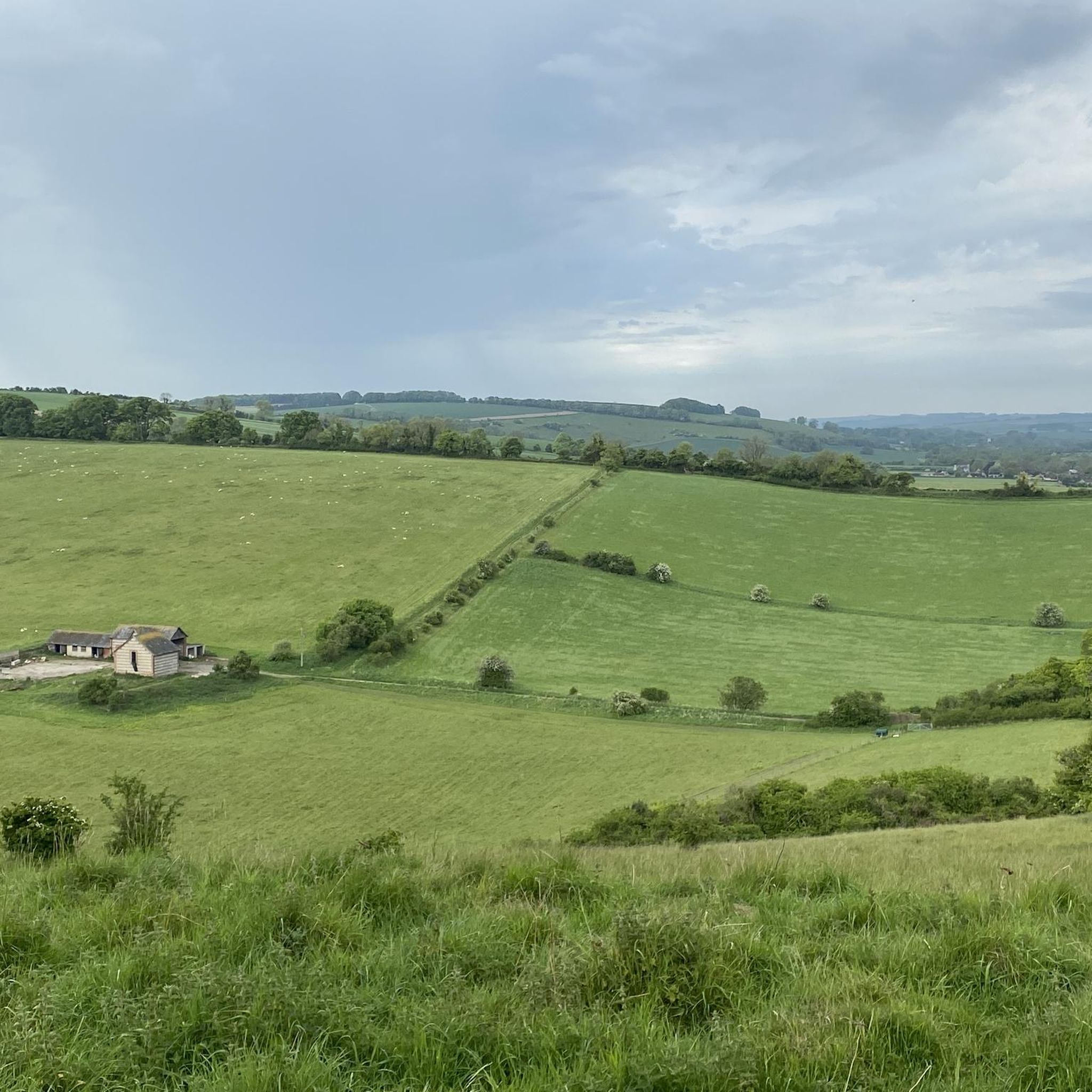
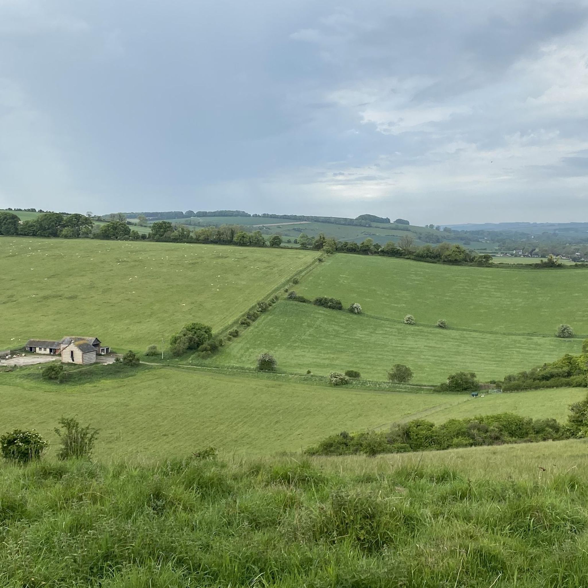
Nice hill climb with views across Cranborne Chase. Decent is a great fun as long as there’s no crosswinds!
4
0
스트랫퍼드 토니 주변에서 가장 인기 있는 명소


더 살펴보기
스트랫퍼드 토니 주변의 최고의 동굴을 찾기 위해 이 가이드를 확인해보세요:
