달헴에서 가장 멋진 20개의 천연기념물
천연기념물을 방문하여 달헴의 아름다운 풍경을 만나보세요. 달헴에 있는 20
개의 천연기념물과 상세 정보를 살펴본 후에 방문하고 싶은 천연기념물을 다음 모험 계획에 추가해보세요!
마지막 업데이트: 9월 5, 2026
ENCI 채석장 전망대
하이라이트 • 전망대
번역자 Google •
팁에 의해

키쿳 전망대 — 우후 계곡
하이라이트 • 전망대
번역자 Google •
팁에 의해

이런 장소를 발견하려면 지금 가입하세요
최고의 싱글 트랙, 봉우리 및 다양한 흥미로운 야외 장소에 대한 추천을 받아보세요.
브루크보스 자연보호구역
하이라이트 • 숲
번역자 Google •
팁에 의해

관측 벙커 MN18 및 크누펠스톡 안내 테이블
하이라이트 • 역사적 장소
번역자 Google •
팁에 의해

몰렌 네쿰의 예커 강
하이라이트 • 강
번역자 Google •
팁에 의해

무료로 가입하여 달헴 주변의 더 많은 자연 기념물을 발견하세요.
이미 komoot 계정이 있나요?
오늘 무료 계정으로 시작하세요
다음 모험이 기다리고 있어요.

커뮤니티 팁

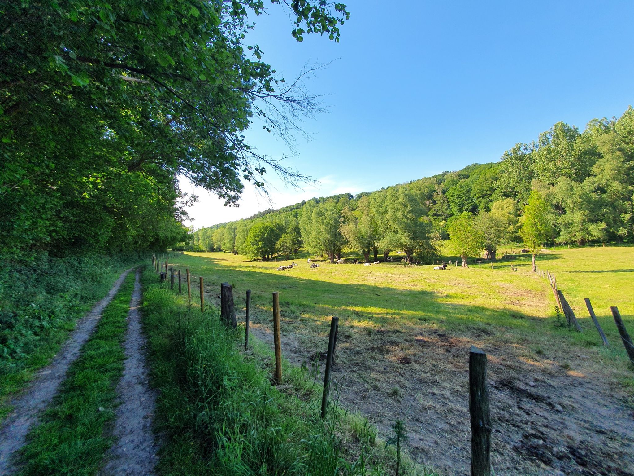
It's a typical Voeren hillside forest with a mix of deciduous trees and humid zones, and together with the surrounding forests, it forms a valuable ecological whole. It is managed by the Agency for Nature and Forests.
9
0

Broekbos is a valuable nature reserve in the Belgian Voer region, known for its rich biodiversity and serene atmosphere. The woodland consists of moist lowlands of old deciduous trees and small streams that together form a natural ecosystem supporting rare plants and animal species. The reserve is a paradise for hikers, birdwatchers, and nature lovers seeking tranquility and an authentic experience of the Voer landscape. The presence of wet grasslands and marshy areas makes Broekbos an important refuge for amphibians, insects, and birds. The walking path through the forest winds past these natural features and offers varied views, from sunny open spaces to densely vegetated, shady areas. Historical features such as old hedgerows and field crosses recall the traditional use of the landscape by the local population.
3
0
The MN18 Observation Bunker is part of the first line of defense of the Position Fortifiée de Liège (PFL), a network of bunkers built in the 1930s to defend Belgium against a German invasion. MN18 was the 18th bunker in the Margarins-Neufchâteau sector and equipped with an FM turret, recognizable by its tapered shape. During the German attack in May 1940, the bunker was destroyed by a 50 kg shaped charge placed on top of the turret, just where the periscope was located. The damage is still visible, making MN18 a tangible reminder of World War II. Right next to the bunker is the Knuppelstock orientation table, an impressive work of blue limestone with a diameter of 1.5 meters and weighing approximately one ton. The relief of the surrounding landscape is engraved on it based on data from the National Geographic Institute, with bronze details indicating the visible points. The table is also accessible for the visually impaired thanks to its tactile elements. The project, carried out by local organizations such as Qualité-Village-Wallonie and the municipality of Aubel, is unique in Belgium.
10
0

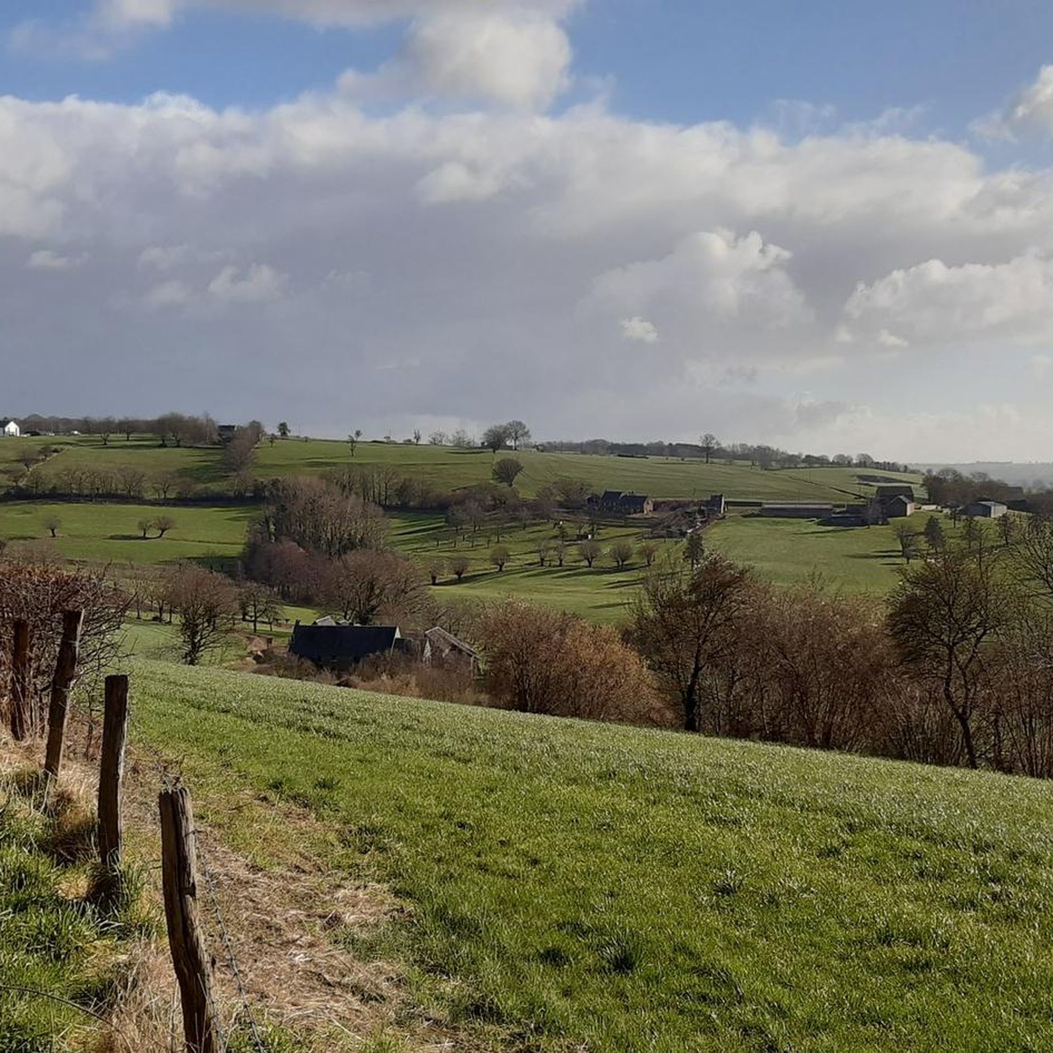
A sloping forest and reserve for old trees, with a beautiful narrow walking path.
10
0
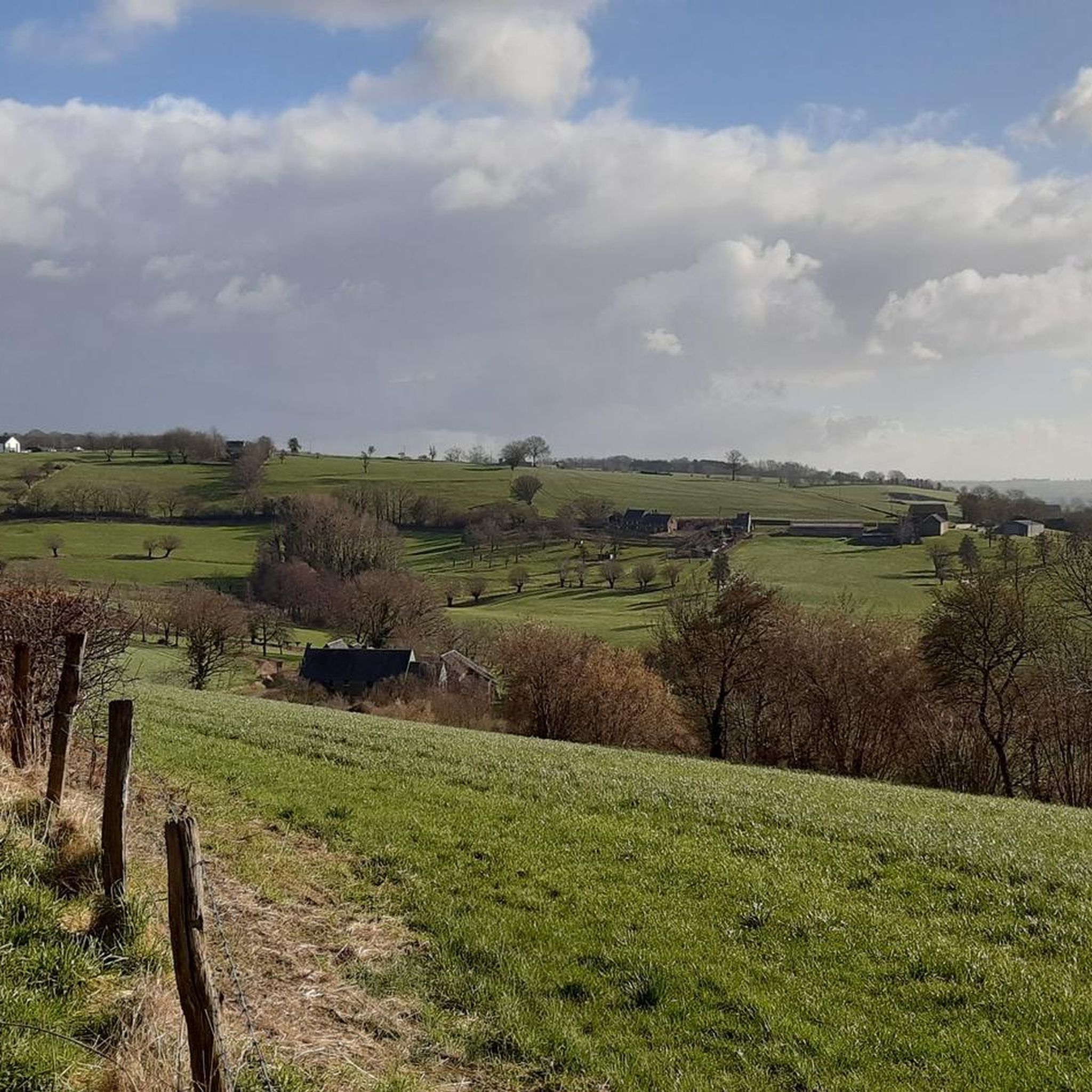
At this point, history and landscape converge. The MN18 observation bunker, a silent witness to the Second World War, still stands as a reminder of a turbulent period. From the bunker, you also have a unique view of the surrounding hilly landscape. Next to the bunker is the Knuppelstock orientation table, a platform that indicates the names and directions of villages, hills, and landmarks in the area. It's an ideal spot to get to know the region better and to enjoy a panoramic view of the border area between the Netherlands and Belgium.
3
0

INFO board [nl]: Mill Nekum to Prins Bisschopssingel The Roer en Overmaas water board has widened the Jeker from the Nekum mill to the Prins Bisschopssingel in Maastricht to prevent flooding. The construction of a fish ladder removed the fish migration bottleneck at the mill (until 1930, glaze was ground here to make pottery waterproof). Fish can now easily pass the mill to lay their eggs upstream, among other things. In the Aquadra project, the water board is working across borders with ten water managers in South Limburg and Belgium to further improve water quality and prevent flooding in the catchment areas of the Jeker, Voer, Berwijn and Geul.
2
0

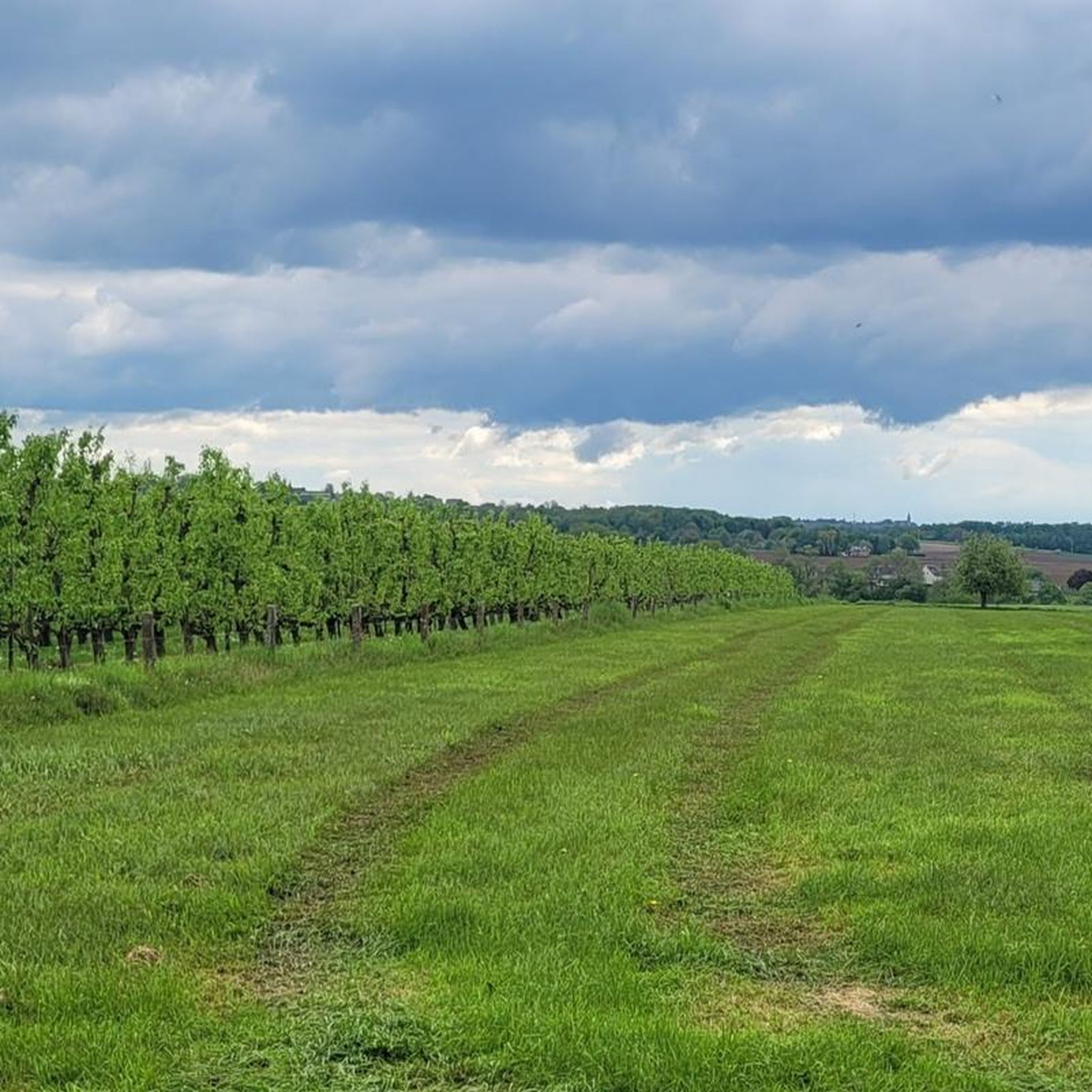
There is a winery behind the bridge. Note that it is not open on Sundays. It is best to research the opening times before the hike.
0
0

달헴 주변에서 가장 인기 있는 명소


더 살펴보기
달헴 주변의 최고의 동굴을 찾기 위해 이 가이드를 확인해보세요:
