알타발레에서 가장 멋진 20개의 천연기념물
천연기념물을 방문하여 알타발레의 아름다운 풍경을 만나보세요. 알타발레에 있는 20
개의 천연기념물과 상세 정보를 살펴본 후에 방문하고 싶은 천연기념물을 다음 모험 계획에 추가해보세요!
마지막 업데이트: 10월 1, 2026
카스텔페더 성 유적지
하이라이트 • 성
번역자 Google •
팁에 의해

세곤차노의 피라미드
하이라이트 • 자연 기념물
번역자 Google •
팁에 의해

이런 장소를 발견하려면 지금 가입하세요
최고의 싱글 트랙, 봉우리 및 다양한 흥미로운 야외 장소에 대한 추천을 받아보세요.


카스텔페더 생물 서식지
하이라이트 • 자연
번역자 Google •
팁에 의해

무료로 가입하여 알타발레 주변의 더 많은 자연 기념물을 발견하세요.
이미 komoot 계정이 있나요?
오늘 무료 계정으로 시작하세요
다음 모험이 기다리고 있어요.




커뮤니티 팁

Also ideal for gravel bike riders! More tips for gravel bike adventures in the area at https://graveldeluxe.com or in my Komoot profile https://www.komoot.de/user/graveldeluxe
1
0


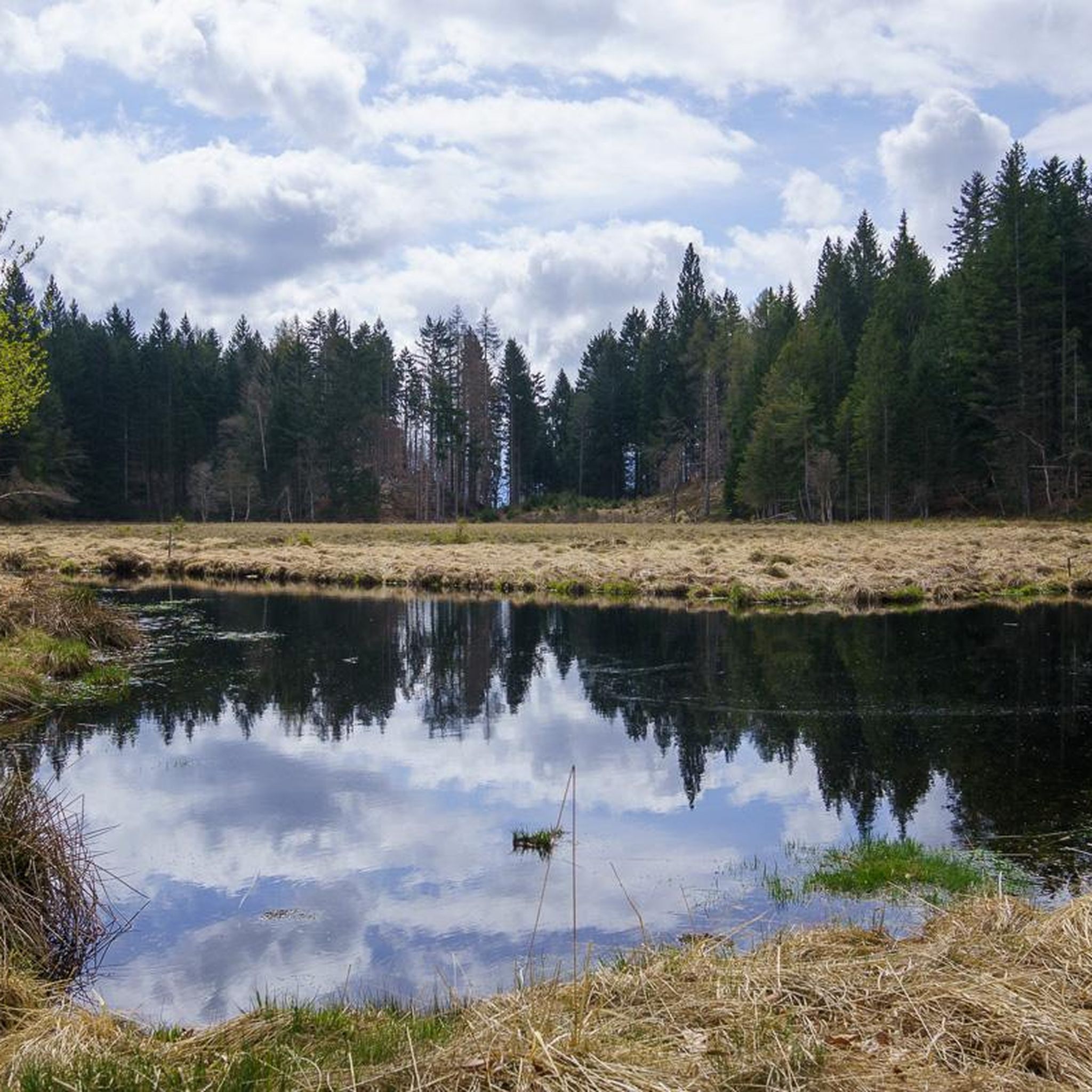
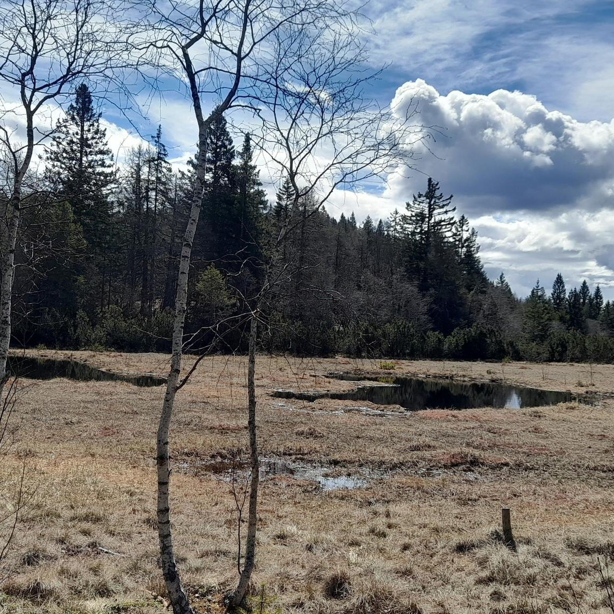
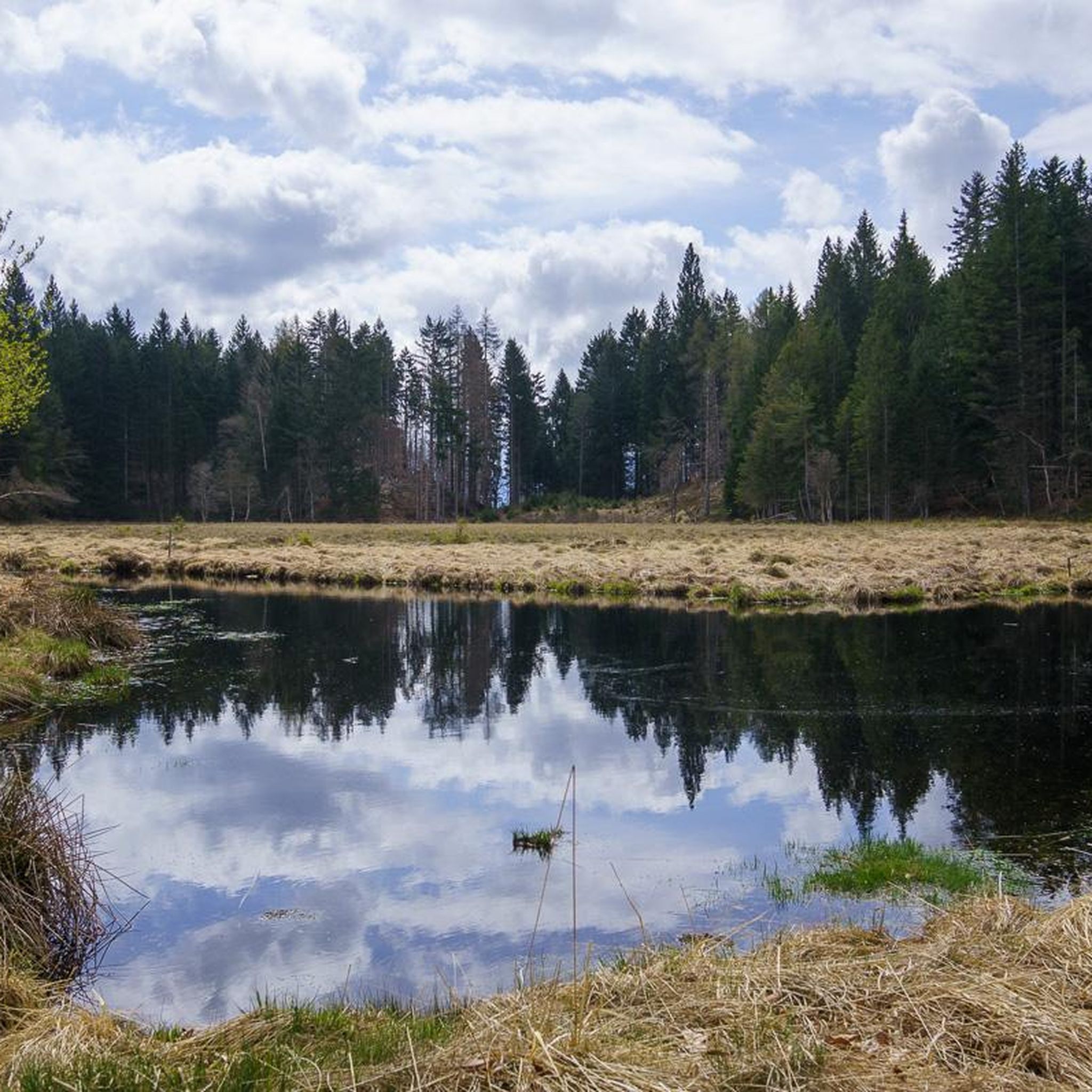
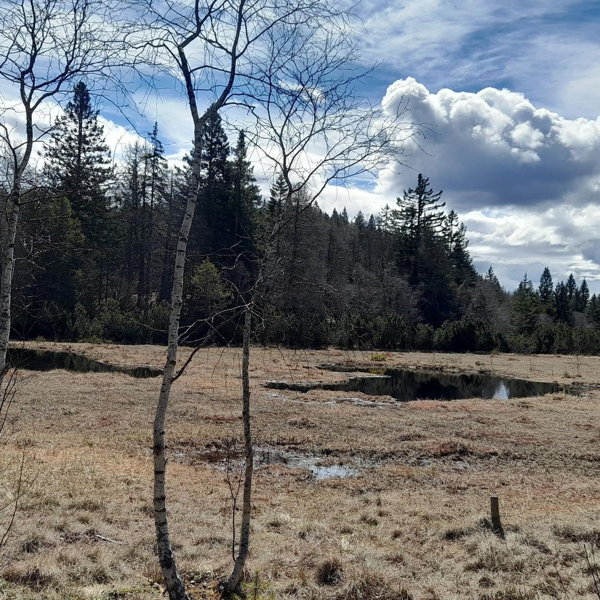
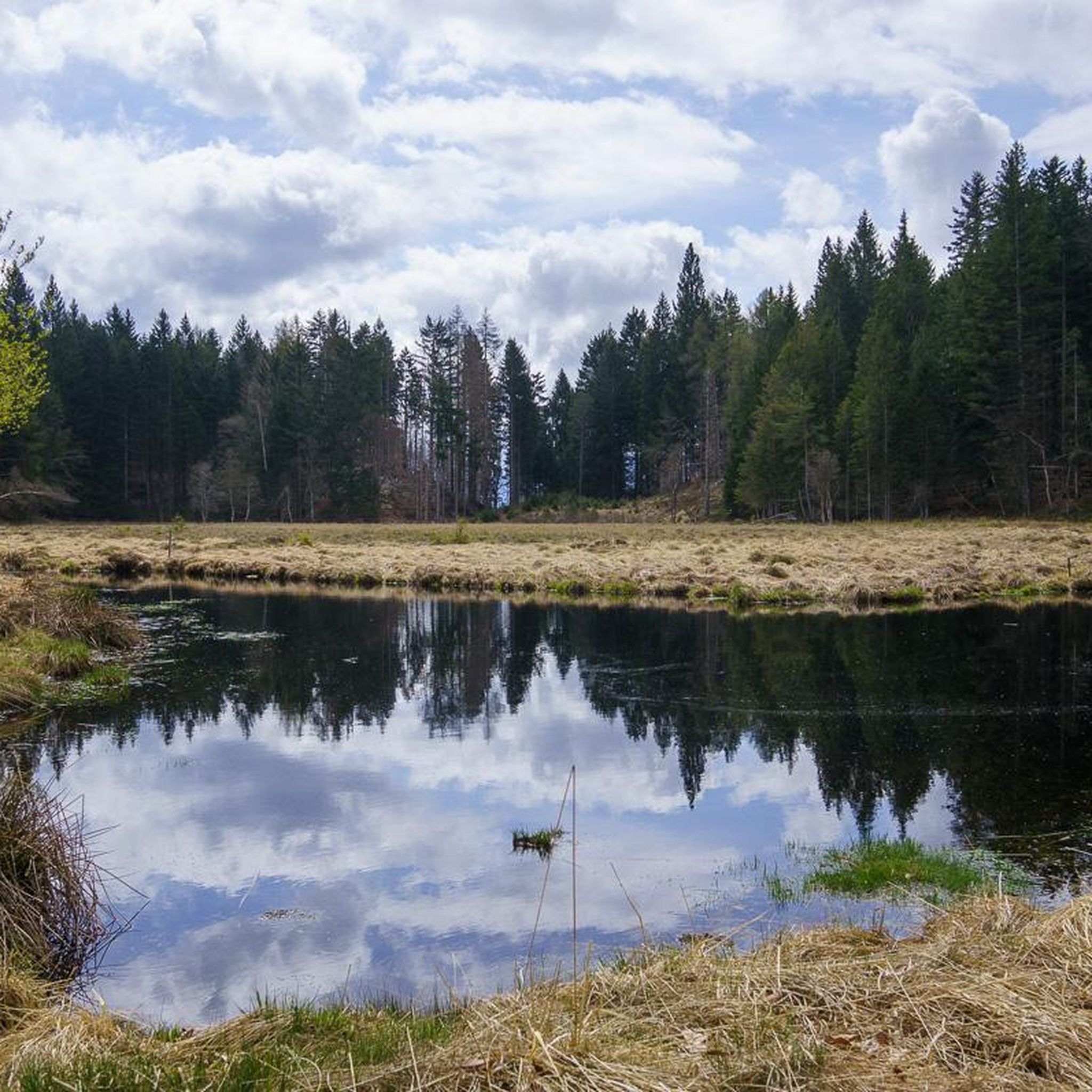
An integral part of the Argentario Ecomuseum, this body of water is located in a wooded basin at almost 1000 m above sea level, in the southern part of the Cembra Valley. Despite not having significant dimensions (it measures 310 m in length, 120 m in width, and a maximum depth of 8 metres) it represents an element of great landscape importance and a place of incredible naturalistic importance. The geological interest of the basin is given by its location on a fault that separates lava rocks (quartz porphyries) from sedimentary rocks (Calisio limestones). Its origin is very particular: the basin was certainly "worked" by glaciers, as is evident from the smoothing of the large rocks located on the north bank, today characterized by the presence of a dense reed thicket. Tufts of sedges grow almost everywhere, while its waters are surrounded by lush forests of Scots pine. In spring, the wonderful white-pink inflorescences of the fibrino clover emerge in the shallow water areas. Today the ichthyofauna guarantees a high level of fish in the lake, which has at least 10 confirmed species. Mallard ducks, coots and moorhens nest in the reed thicket in spring. But the faunal importance of the lake and the swamp is above all due to the amphibians, which come here in spring from the surrounding areas to mate and lay their eggs: as many as 6 species have been observed to date.
1
0

Today all that remains of Castelfeder is a few suggestive ruins. In the 13th century, however, it had been an important castle built by the lords of Enna. It stood on a hill between the current municipalities of Ora, Egna and Montagna. All around the castle ruins there is a larger area where there are remains of other buildings dating back to various eras. Everything is immersed in the so-called Castelfeder biotope, a protected natural area covering 108 hectares.
1
0

During our visit we were able to admire about 20 goats on our way. The animals were completely trusting and were not disturbed by us in any way.
0
0
The Castelfeder hill is an ancient cultural landscape with traces of settlements from the Stone and Bronze Ages. The remains of a castle complex, the legendary fertility slide, bowl stones and the walls of the Barbara Chapel bear witness to a mystical past. The area is important from an archaeological, historical and ecological point of view. Years ago it was placed under landscape protection as a biotope. www.Castelfelder/info.de
0
0
Sensational view of the Adige Valley. Just pause and enjoy.
0
0


더 살펴보기
알타발레 주변의 최고의 동굴을 찾기 위해 이 가이드를 확인해보세요:
