시스에서 가장 멋진 7개의 천연기념물
천연기념물을 방문하여 시스의 아름다운 풍경을 만나보세요. 시스에 있는 7
개의 천연기념물과 상세 정보를 살펴본 후에 방문하고 싶은 천연기념물을 다음 모험 계획에 추가해보세요!
마지막 업데이트: 10월 1, 2026


이런 장소를 발견하려면 지금 가입하세요
최고의 싱글 트랙, 봉우리 및 다양한 흥미로운 야외 장소에 대한 추천을 받아보세요.
노벨라 협곡 – 파르코 플루비알레 노벨라
하이라이트 • 협곡
번역자 Google •
팁에 의해

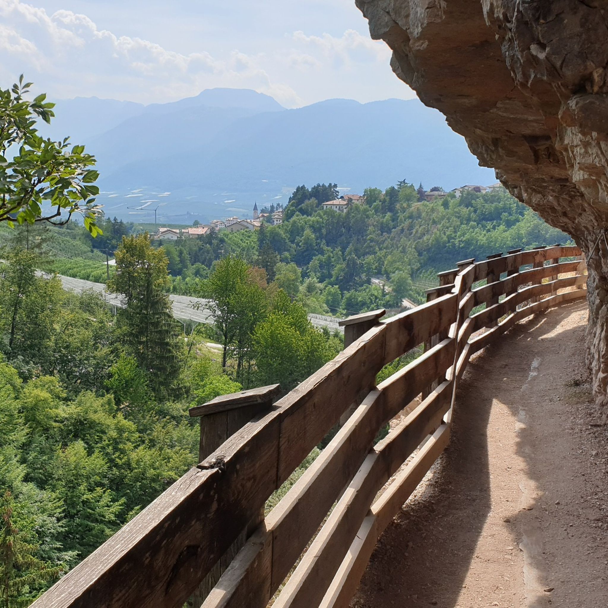
파노라마 트레일 133번
하이라이트 • 트레일
번역자 Google •
팁에 의해

Goldlahnsee
하이라이트 • 호수
번역자 Google •
팁에 의해

무료로 가입하여 시스 주변의 더 많은 자연 기념물을 발견하세요.
이미 komoot 계정이 있나요?
오늘 무료 계정으로 시작하세요
다음 모험이 기다리고 있어요.


커뮤니티 팁

The Rio Novella canyon can be explored independently, after paying the entrance ticket and collecting the protective helmet (included in the ticket price) that must be worn in the canyon. Over the millennia, water has dug and sculpted the rock, in some places the two walls almost touch, in other places the sunlight filters through, highlighting fossils and minerals. It is very suggestive to walk through it in the morning, with the sun's rays penetrating the final part of the gorge.
1
0

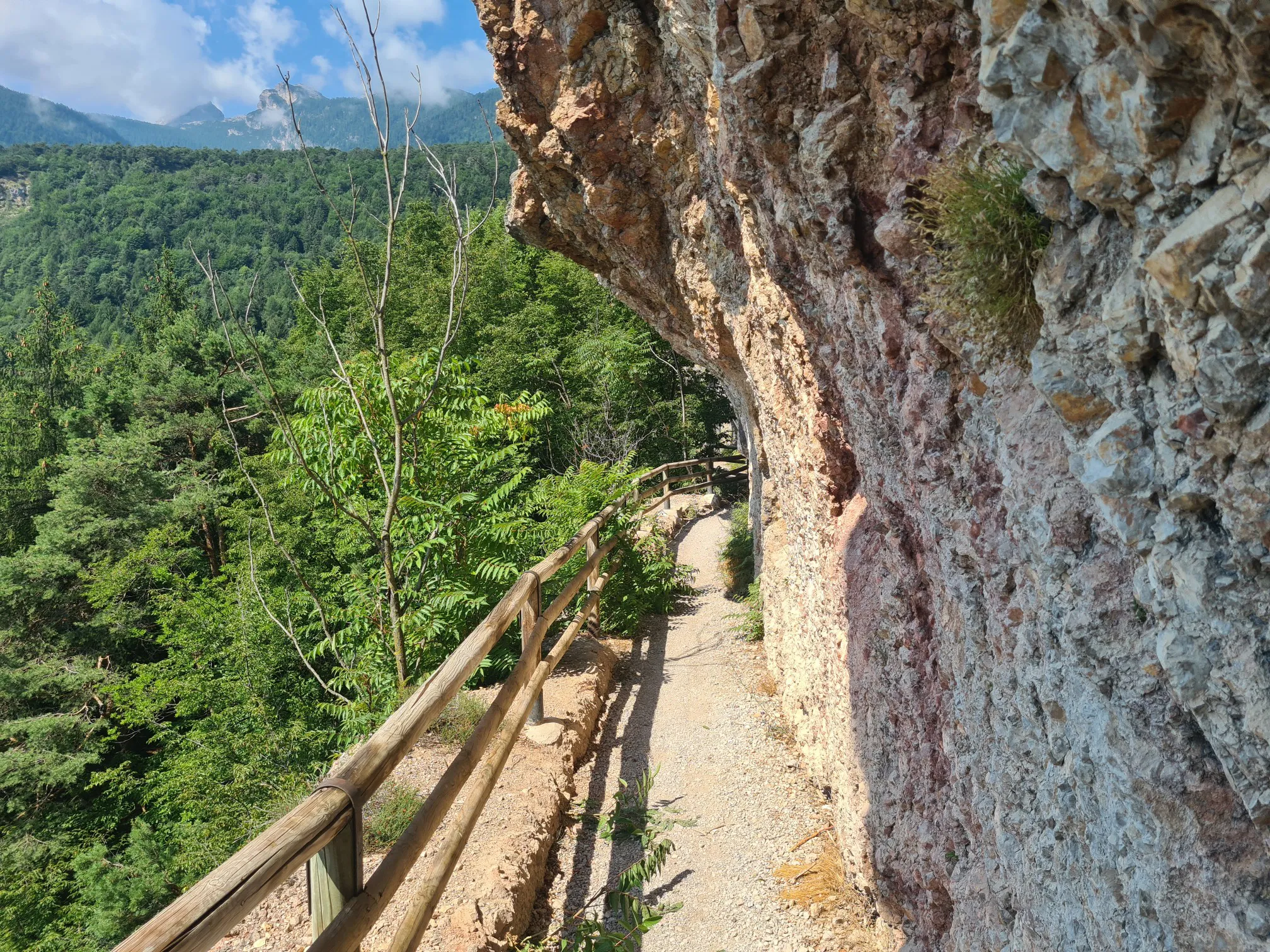
Magnificent views of the Brenta. A head for heights and surefootedness are essential. The trail is extremely exposed in places
0
0

The gorge is only accessible during opening hours. You will receive a helmet and information material at the ticket office. It is a great experience to walk through the gorge. Considering the effort that goes into making the canyon accessible, the entrance fee is really fair. Information in advance: https://www.parcofluvialenovella.it/
2
1

If you've always wanted to hike through a canyon, this is the place for you. The paths (walkways mounted on the rock face) are at times dizzying and take you through a breathtaking gorge that was formed by glaciers and water over geological eras. The staff at the park are great and very friendly. Highly recommended for families too, as the route isn't that long.
2
1

The two small lakes Coredo and Tavon, in the town of Palù, are nestled in a fascinating mountain setting. They are located at an altitude of 830 m, are of glacial origin and have a surface area of approximately 25,000 m².
0
0

This monastery is located in Val di Non, the largest valley in Trentino. The hermitage and pilgrimage site of San Romedio is one of the most interesting buildings of medieval Christian art in Trentino. The hermitage stands on a 70m high limestone rock and is made up of several churches and chapels that adapt to the shape of the rock. The oldest church was already built around the year 1000 on the tomb of San Romedio.
7
4

Clear, small mountain lake at 2300 m below the Goldlahnspitze. Magnificent panorama
0
0

The Coredo and Tavon lakes, also known as "The Two Lakes", are artificial basins built in 1958 for irrigation purposes. Located in Palù, at 830 m a.s.l., they are divided from each other by a dam; they extend for 25,000 square meters in a pleasant alpine setting. The lakes are not suitable for swimming, but sport fishing is possible on site.
0
0
시스 주변에서 가장 인기 있는 명소


더 살펴보기
시스 주변의 최고의 동굴을 찾기 위해 이 가이드를 확인해보세요:
