발그리센체에서 가장 멋진 20개의 천연기념물
천연기념물을 방문하여 발그리센체의 아름다운 풍경을 만나보세요. 발그리센체에 있는 20
개의 천연기념물과 상세 정보를 살펴본 후에 방문하고 싶은 천연기념물을 다음 모험 계획에 추가해보세요!
마지막 업데이트: 8월 22, 2026


오늘 무료 계정으로 시작하세요
다음 모험이 기다리고 있어요.
로그인 또는 가입하기
발그리센체 주변 인기 장소
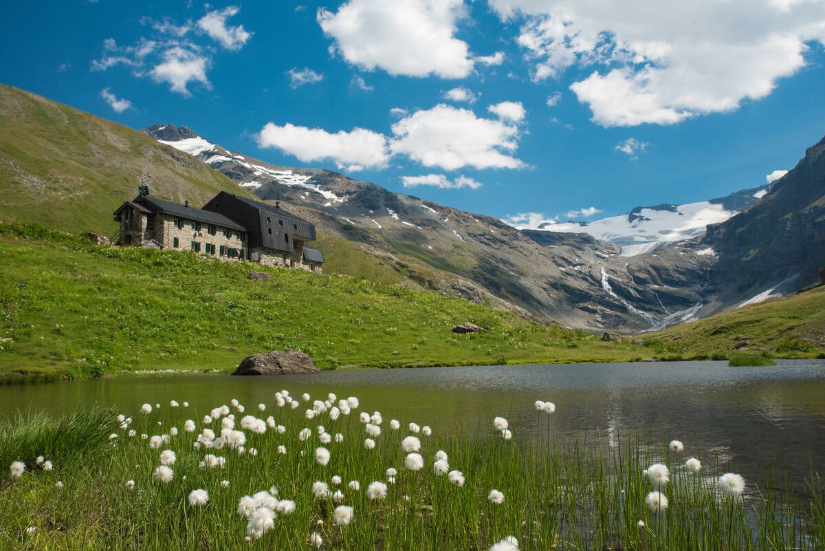
Hiking to the Aosta Valley’s mountain huts: 10 beautiful trails
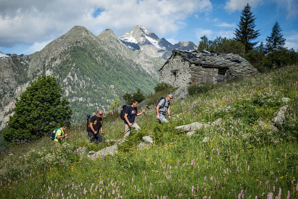
Hidden trails in the Aosta Valley – mountains you don't yet know
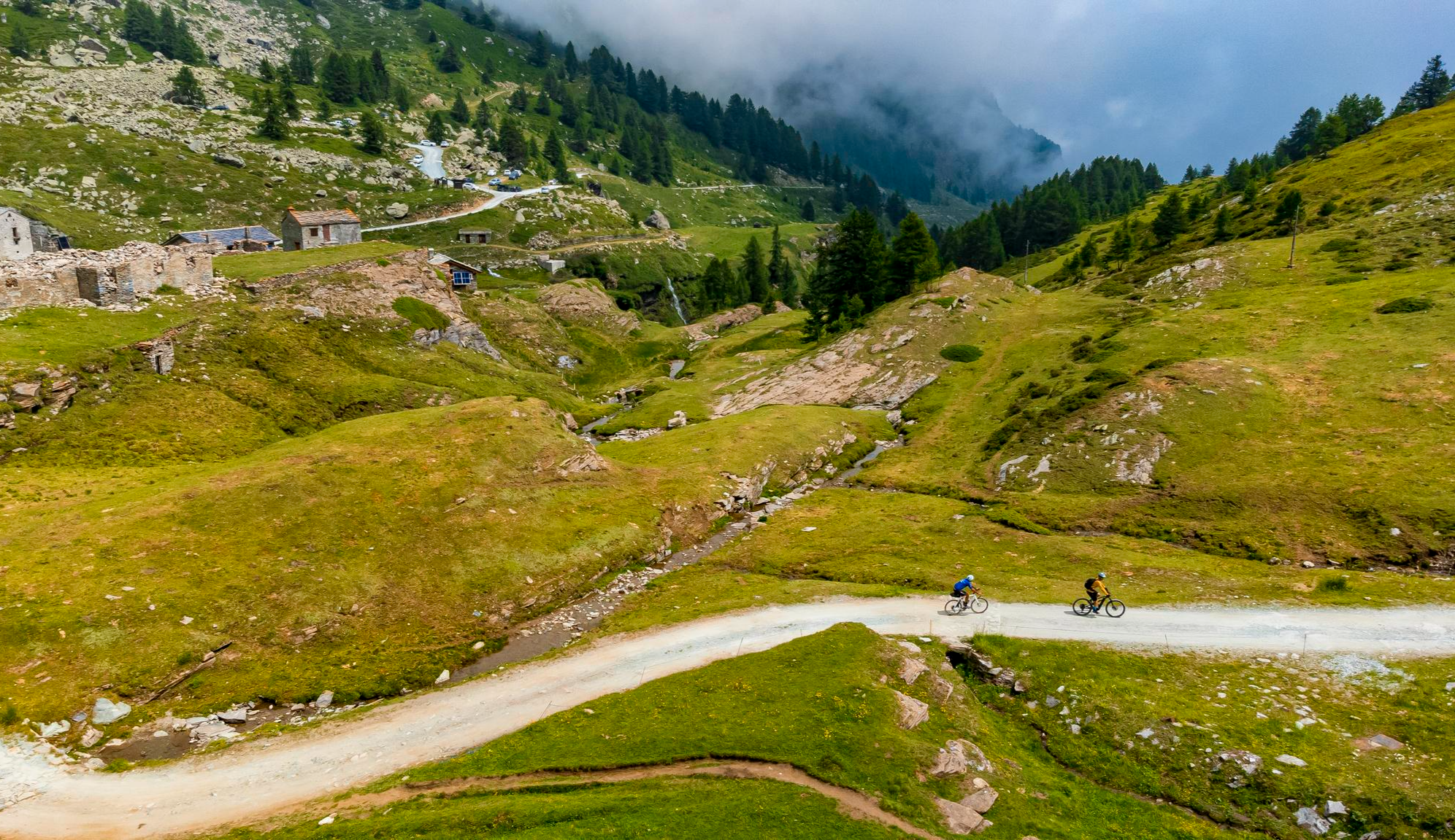
Must-do gravel routes in the Aosta Valley – the heart of the Italian Alps

Alta Via n. 2 of the Aosta Valley — high peaks and beautiful valleys in Italy
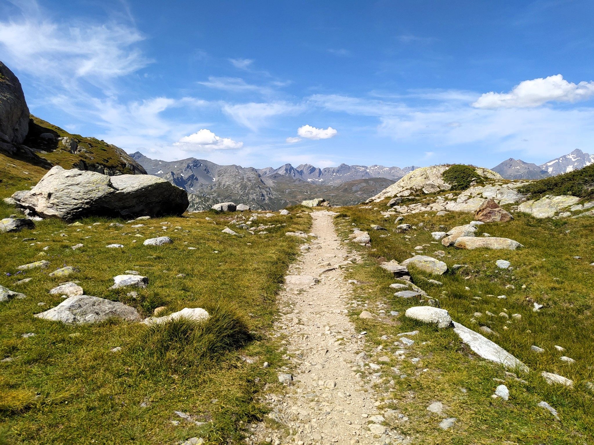
천국에서 달리기 - Valle d'Aosta의 Alta Via 2
이탈리아의 높은 고대와 아름다운 계곡 - 아오스타 계곡의 알타 비아 트레일
발그리센체 하이킹
발그리센체 사이클링
발그리센체 로드 사이클링 경로
발그리센체 MTB 트레일
발그리센체 주변의 다른 모험


커뮤니티 팁

The road that draws an "S" on the dam is very scenic. All that remains is to tackle the last hairpin bends to the top and then enjoy the most beautiful view of the Alps and perhaps the world...
0
0

The climb of Colle del Nivolet is among the most exciting and fascinating of the Piedmont Alps, I always recommend Alba and Tramonti when the light transforms the landscape into pure magic!
0
0

Very simple and relaxing route through the woods to this splendid lake. If you want to visit it in peace, avoid midday hours, especially in summer
1
0

Lake Arpy is located at 2,066 meters above sea level. It is located in a splendid valley and enclosed between Mount Charvel and Becca Pouegnenta to the left of Mount Colmet. The lake has shades of color ranging from brown to light blue to green. In its waters there are trout and a rare species of amphibian, the Alpine newt.
5
0
The first waterfall is the easiest to reach and is located about 20 minutes from the start. Although it is the easiest to reach, you need to be careful because, being wet, you could slip, so remember suitable shoes and be careful.
0
0

Lake Agnel is part of a wonderful alpine environment, possibly the most beautiful and spectacular thing I have seen in the Alps. As soon as you leave behind Lake Serrú, an artificial dam, you reach this natural lake after a short descent. Leaving it behind in the direction of the Colle del Nivolet, the views from above are great. Beauty cannot be seen in photos nor described in words... you have to feel it arriving there by bicycle.
0
0
The three Rutor waterfalls are part of the country's history and are shrouded in myths and legends. Daughters of the lakes fed by the Rutor glacier, the wonderful waterfalls that can be visited in summer are three impetuous waterfalls that throw themselves into gorges and precipices, carving out the rock with all the power of the melting water. Starting from the hamlet of La Joux at 1,603 meters above sea level and located just three kilometers from the town of La Thuile, you can reach the first of the three with a beautiful path up to the third waterfall which is located at 1,996 metres. The first observation point is found shortly after passing the farmhouses of La Joux, along a mule track that passes through coniferous woods. The first waterfall is surprising: the emotion of the rainbow and the force of the water arouse incredible sensations.
2
0

Going up towards Nivolet, you can stop at a highly panoramic point where you can photograph the lakes.
1
0
발그리센체 주변에서 가장 인기 있는 명소


더 살펴보기
발그리센체 주변의 최고의 동굴을 찾기 위해 이 가이드를 확인해보세요:
