라살에서 가장 멋진 20개의 천연기념물
천연기념물을 방문하여 라살의 아름다운 풍경을 만나보세요. 라살에 있는 20
개의 천연기념물과 상세 정보를 살펴본 후에 방문하고 싶은 천연기념물을 다음 모험 계획에 추가해보세요!
마지막 업데이트: 9월 4, 2026

이런 장소를 발견하려면 지금 가입하세요
최고의 싱글 트랙, 봉우리 및 다양한 흥미로운 야외 장소에 대한 추천을 받아보세요.

푼타 델라 크로체와 고대 요새
하이라이트 • 역사적 장소
번역자 Google •
팁에 의해

오늘 무료 계정으로 시작하세요
다음 모험이 기다리고 있어요.
라살 주변 인기 장소



라살 주변의 다른 모험


커뮤니티 팁

Very simple and relaxing route through the woods to this splendid lake. If you want to visit it in peace, avoid midday hours, especially in summer
1
0
A nice little place at the bottom of the valley near a picnic area. Great place to relax and soak your feet after a hike
0
0
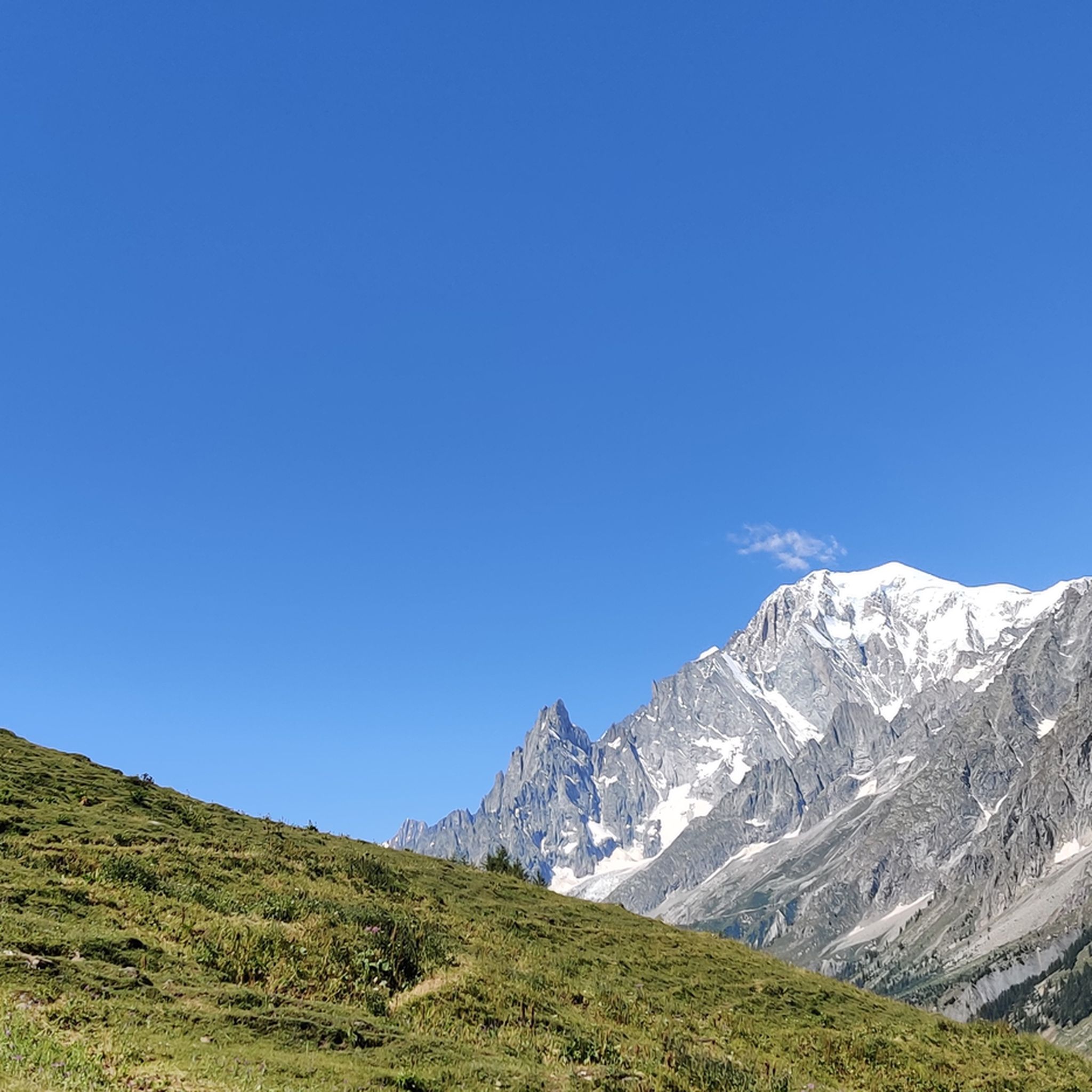
Magnificent panorama over the entire Mont Blanc chain and La Thuille. Near the cross there are only the remains of ancient fortifications that dominated the valley
1
0

Punta della Croce is a place that you cannot miss for the vast panorama that can be enjoyed from the top (2,432 meters above sea level). From here the view of Mont Blanc is truly incredible!
3
0
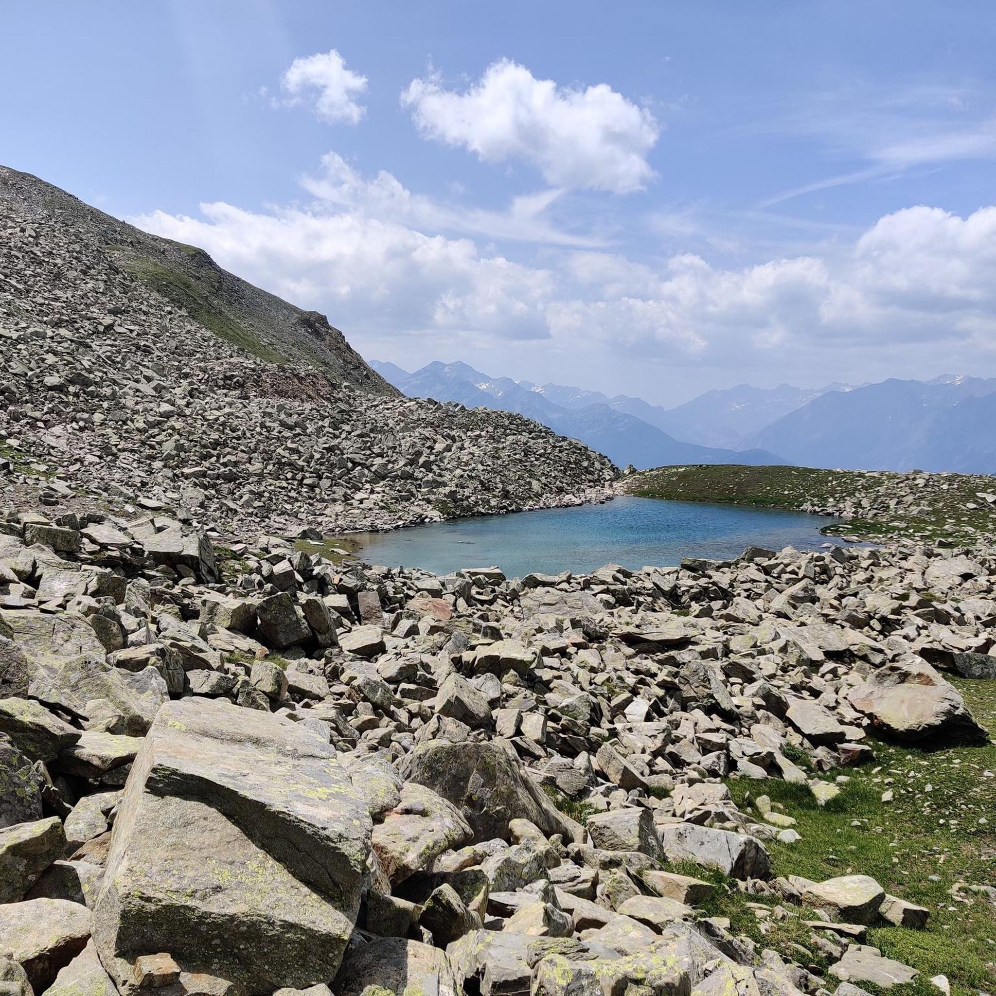
Lake Arpy is located at 2,066 meters above sea level. It is located in a splendid valley and enclosed between Mount Charvel and Becca Pouegnenta to the left of Mount Colmet. The lake has shades of color ranging from brown to light blue to green. In its waters there are trout and a rare species of amphibian, the Alpine newt.
5
0
The first waterfall is the easiest to reach and is located about 20 minutes from the start. Although it is the easiest to reach, you need to be careful because, being wet, you could slip, so remember suitable shoes and be careful.
0
0
The three Rutor waterfalls are part of the country's history and are shrouded in myths and legends. Daughters of the lakes fed by the Rutor glacier, the wonderful waterfalls that can be visited in summer are three impetuous waterfalls that throw themselves into gorges and precipices, carving out the rock with all the power of the melting water. Starting from the hamlet of La Joux at 1,603 meters above sea level and located just three kilometers from the town of La Thuile, you can reach the first of the three with a beautiful path up to the third waterfall which is located at 1,996 metres. The first observation point is found shortly after passing the farmhouses of La Joux, along a mule track that passes through coniferous woods. The first waterfall is surprising: the emotion of the rainbow and the force of the water arouse incredible sensations.
2
0
Lake Verney is the largest natural alpine lake in the Aosta Valley. Of glacial origin, it is located at 2,088 m above sea level, between the Bec des Rousses, the promontory of the Piccolo San Bernardo, and Mount Chaz Dura. The shores of the lake are colonized by hygrophilous vegetation that includes prized botanical varieties such as eriophilous grasses, sedges and rushes as well as sphagnum, a typical species of peat bogs. On the sides, the work of nature has left morainic deposits rich in springs, a perfect habitat for primroses and saxifrages. In a distant time, over 2,000 years ago, the Salassi people considered these waters sacred: they were used to bless the fields, unions and children, to propitiate a fruitful summer or a benevolent winter. When the Salassi leaders returned victorious from a battle, they offered the swords of their fallen adversaries to Graio, the god of war and rocks, as a sign of thanks. Today, Lake Verney is a favorite destination for many tourists as well as a fishing reserve. You can walk around its entire perimeter with a comfortable walk of about 45 minutes and by climbing further you can reach the Upper Lake Verney in about half an hour.
1
0


더 살펴보기
라살 주변의 최고의 동굴을 찾기 위해 이 가이드를 확인해보세요:
