알티시모에서 가장 멋진 20개의 천연기념물
천연기념물을 방문하여 알티시모의 아름다운 풍경을 만나보세요. 알티시모에 있는 20
개의 천연기념물과 상세 정보를 살펴본 후에 방문하고 싶은 천연기념물을 다음 모험 계획에 추가해보세요!
마지막 업데이트: 10월 14, 2026

센티에로 데이 그란디 알베리
하이라이트 (구간) • 트레일
번역자 Google •
팁에 의해

이런 장소를 발견하려면 지금 가입하세요
최고의 싱글 트랙, 봉우리 및 다양한 흥미로운 야외 장소에 대한 추천을 받아보세요.

부소 델라 라나 동굴
하이라이트 • 동굴
번역자 Google •
팁에 의해

부소 델레 앙구아네 동굴
하이라이트 • 동굴
번역자 Google •
팁에 의해
무료로 가입하여 알티시모 주변의 더 많은 자연 기념물을 발견하세요.
이미 komoot 계정이 있나요?
오늘 무료 계정으로 시작하세요
다음 모험이 기다리고 있어요.

커뮤니티 팁

The Buso della Rana is the largest cave in the Veneto region and one of the most extensive in Italy, with a network of caves stretching almost 30 km in total (40 km including the Pissatèla complex above, to which it is connected). Located beneath the Faedo-Casaròn Plateau, it is an intricate karst system that collects and channels the plateau's waters into the Rio Rana, which flows at the entrance. It was formed when rainwater seeps into the permeable limestone surface layer and, encountering the underlying impermeable basalt (volcanic rock), flows laterally, eroding the rock. Over millions of years, this has created a complex labyrinth of horizontal tunnels, chambers, chimneys, siphons, and small lakes traversed by underground streams. Because it drains the plateau's waters, the cave is subject to flash floods, making exploration treacherous. Inside, the temperature remains constant between 10 and 12°C year-round. It is freely accessible through the monumental entrance and by proceeding along the Main Branch for about fifty meters, until reaching the first flooded corridor or Siphon, a horizontal constriction that requires crawling. From there, it is the preserve of speleologists or exciting and adventurous guided tours organized by associations like Biosphera (see link). The internal branches are not marked, and one must know the way. The name of the cave has nothing to do with the amphibian, but is an Italianized term from the Cimbrian word "roan," meaning "rocky wall," referring to the cliff at the entrance. https://www.busodellarana.it https://esplora.biosphaera.it/luoghi/buso-della-rana/
0
0
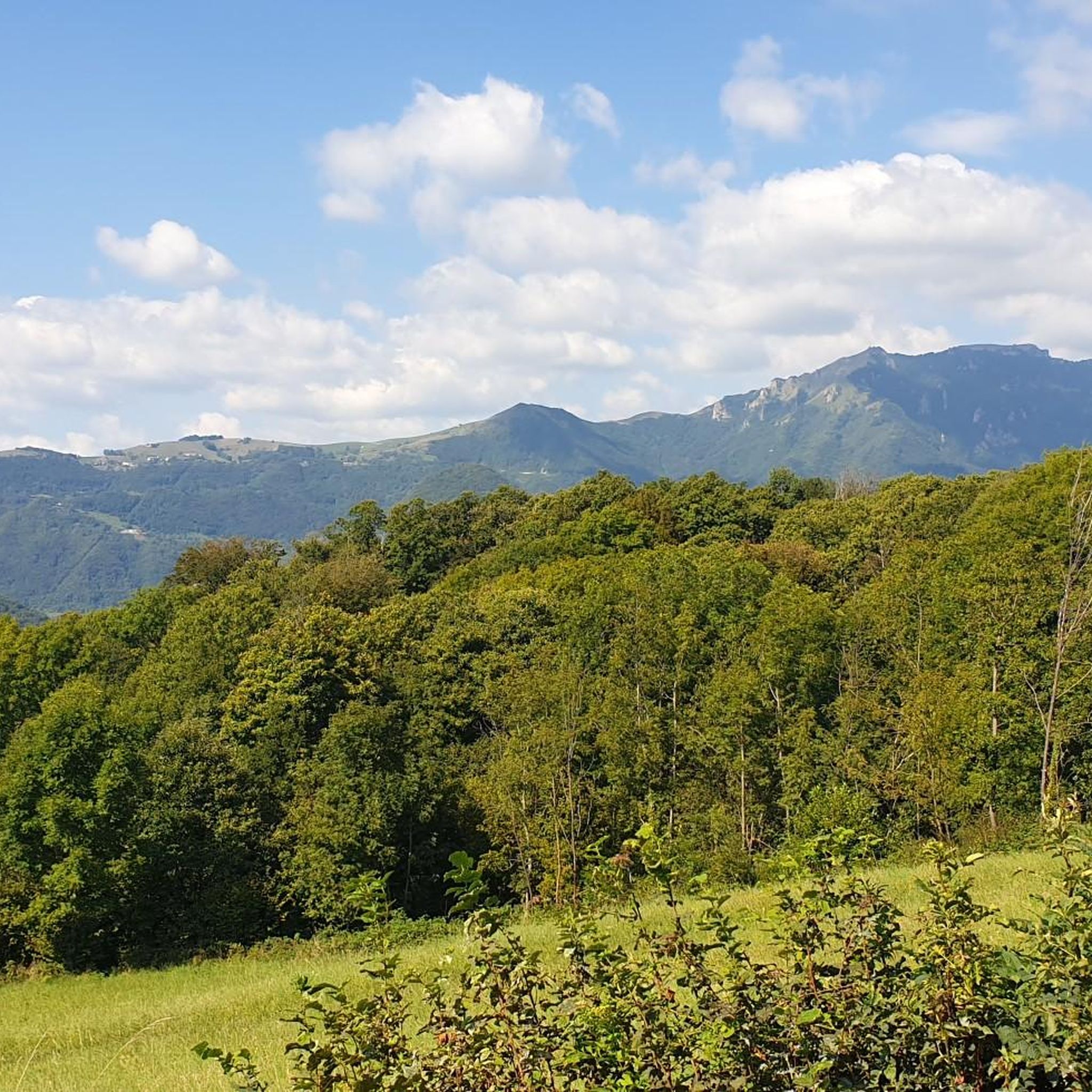
From Monte Gramolòn (1,814 m), you have a breathtaking 360° view of the Piccole Dolomiti, the Sentiero dei Grandi Alberi trail below, and, on the opposite side, the Lessinia mountains! The climb from Passo Ristele (to the north) is short but steep, and breathtaking! From Passo della Scagina (to the south), it's even steeper and more technical, EE, with frequent switchbacks that ascend a deep gully: very evocative. On this side, there are also the Angelo Viali and Ferrari via ferratas. The summit, with its cross, touches a spectacular but exposed ridgeline over the precipice, so be careful and avoid leaning out. The toponym derives from the dialect verb 'sgramolare', meaning to break into lumps: therefore, 'Gramolon' means the mountain that crumbles, due to subsidence and scree!
0
0
The Buso delle Anguane is a fascinating cave in the rock with a natural balcony overlooking the Chiampo Valley: a place of mystery and legends, in ancient folk tales it was the home of the anguane, evil creatures that attracted men with their comely appearance. https://it.wikipedia.org/wiki/Anguana The path to reach the cave is quite impervious and challenging, not very visible and not signposted along the asphalt road.
0
0
The Cascata dei Papalini suddenly appears in a small clearing in the heart of the forest, along the path: over time the falling water has formed a columnar deposit of gray limestone that descends like a drape and that partly acts as a springboard for the jet. But the peculiarity and spectacular nature of this waterfall is the possibility of seeing it even from behind the scenes: in fact, by climbing to the left on a short but steep path, you reach a natural roof of the rock from which you can observe the forest below through the curtain of water, without getting wet! The passage is not protected and is wet, so you need to pay particular attention. Like all torrential waterfalls, it is not always full and active: you need to look for the right period, perhaps after heavy rains, to visit it in all its thunderous splendor.
1
0

Point quite easy to reach unless it has rained recently, in which case I would advise caution. Very suggestive view from inside the "Buso"
0
0

Beautiful waterfall, it looks like a face with one eye, a big nose and teeth😊
1
0

Gramolon can be reached not only by paths but also by the short but intense Ferrari via ferrata.
0
0

Mount Gramolon can be reached by various itineraries, the most convenient from the Bertagnoli refuge.
0
0
알티시모 주변에서 가장 인기 있는 명소


더 살펴보기
알티시모 주변의 최고의 동굴을 찾기 위해 이 가이드를 확인해보세요:
