크리조에서 가장 멋진 13개의 천연기념물
천연기념물을 방문하여 크리조의 아름다운 풍경을 만나보세요. 크리조에 있는 13
개의 천연기념물과 상세 정보를 살펴본 후에 방문하고 싶은 천연기념물을 다음 모험 계획에 추가해보세요!
마지막 업데이트: 10월 28, 2026
바키글리오네 리조르지베 자연보호구역
하이라이트 • 자연 기념물
For the gravel it is a paradise!
DESCRIPTION:
A resurgence, or fountain, is a source of fresh water of natural origin, sometimes made to …
번역자 Google •
팁에 의해

바키글리오네의 용출지
하이라이트 • 강
번역자 Google •
팁에 의해

이런 장소를 발견하려면 지금 가입하세요
최고의 싱글 트랙, 봉우리 및 다양한 흥미로운 야외 장소에 대한 추천을 받아보세요.

오늘 무료 계정으로 시작하세요
다음 모험이 기다리고 있어요.
커뮤니티 팁

Il Sasso di Lumignano는 방언으로 'Il Sèngio'라고도 불리며, 태초에 위쪽 암벽에서 떨어진 거대한 바위입니다! 높이는 16미터, 평균 둘레는 60미터입니다. Contrà Molini의 집들 사이에 놓여 있으며, 좁은 밑면 때문에 영원히 균형을 잡고 있는 것처럼 보입니다. 1905년 5월 22일, 풍부하고 지속적인 비로 인해 약 30도 천천히 회전하여 현관을 파괴하고 도로를 막았다고 전해집니다. 이것이 Sasso가 움직여 영구적으로 자리 잡은 마지막이자 유일하게 기록된 경우였습니다. 초보자에게도 적합한 여러 루트가 있는 암벽 등반 장소로도 사용됩니다.
0
0

고요함과 풍경을 위해 이 장소를 방문할 가치가 있습니다
0
0
Attila's Tooth is a rocky outcrop on the edge of a sheer cliff. It's enclosed by a wooden fence for safety, easily surmountable since there's no protection above the cliff and vegetation obscures the drop. A few steps along the trail is the Croce del Monte Brojon, another very exposed vantage point with a beautiful view of the village of Lumignano below, the Hermitage of San Cassiano, and the plain, with the Euganean Hills on the horizon.
0
0


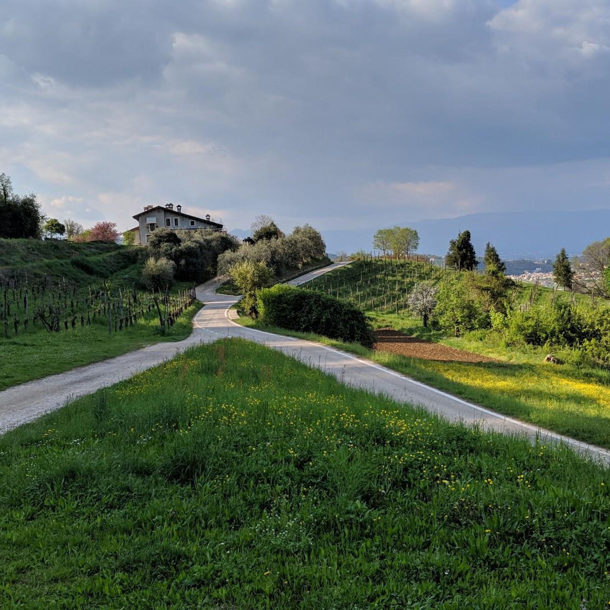
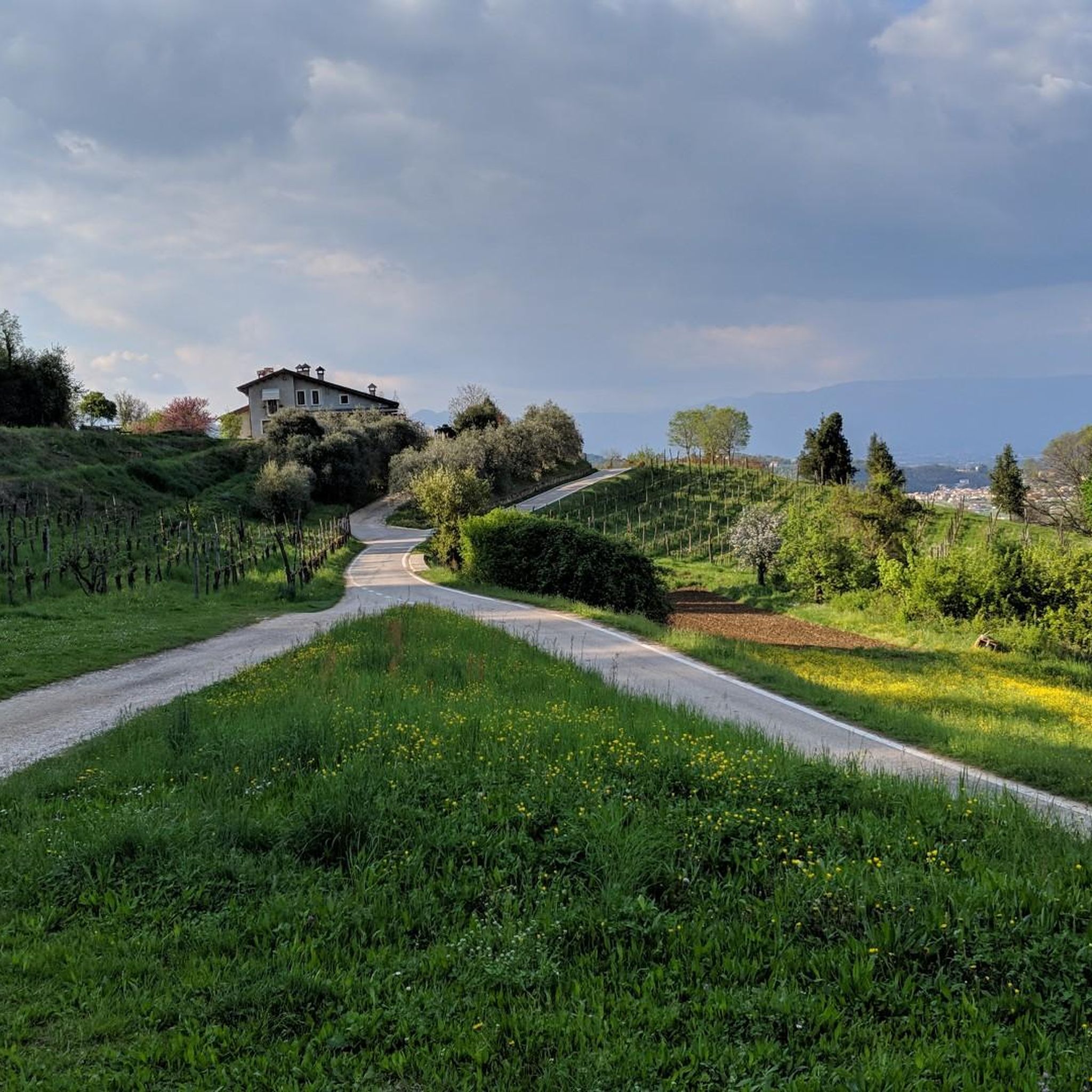
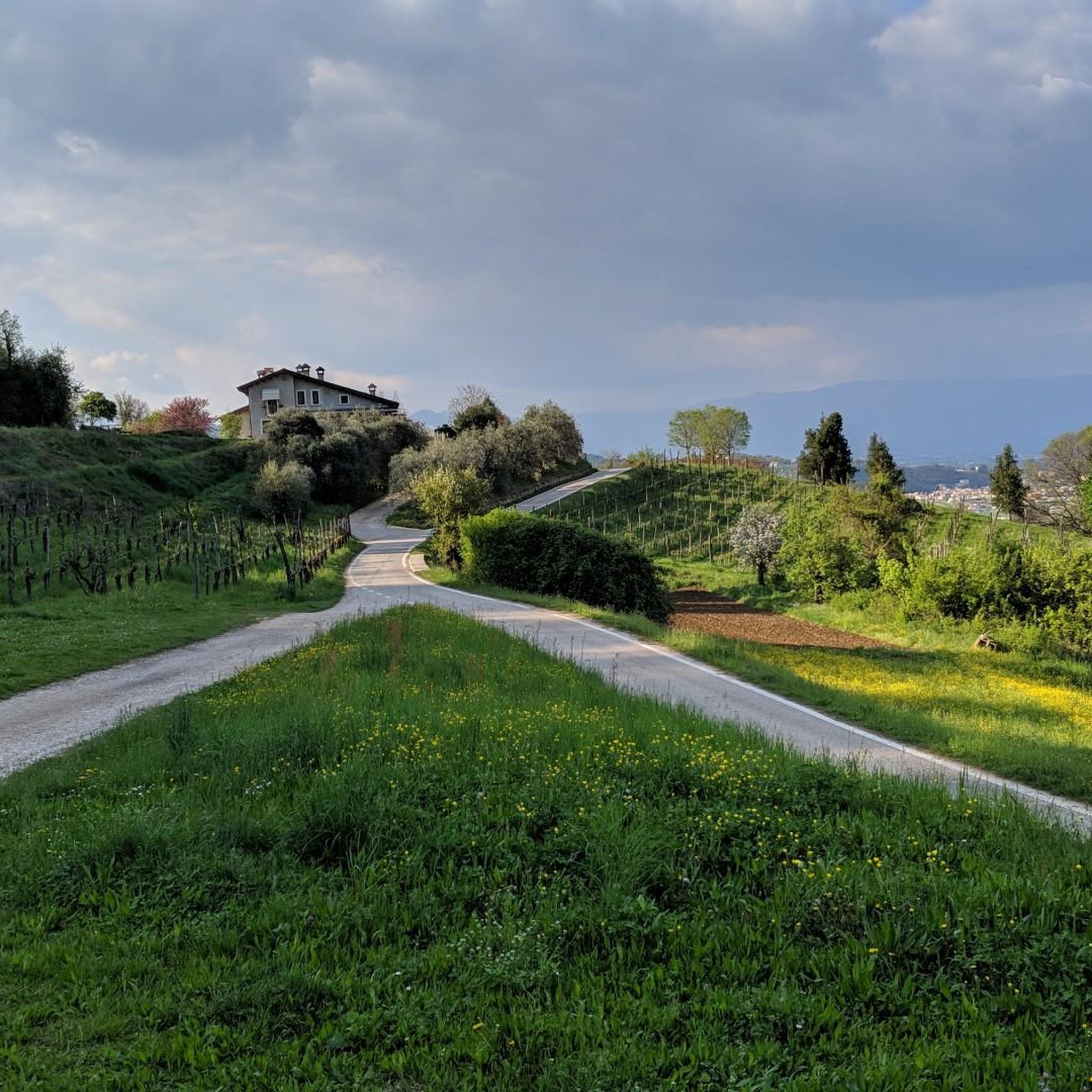
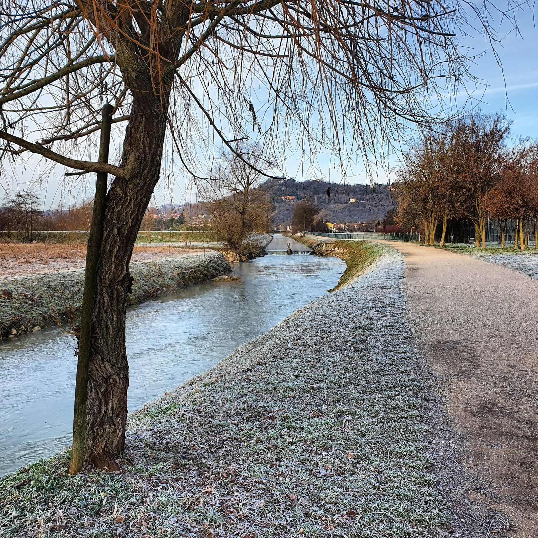
The set of springs that make up the Bacchiglione stream are enclosed in a splendid naturalistic area. It is possible to access it from different points and in different ways, but in any case cycling here is wonderful. There is a refreshment point: to check its opening I recommend you visit the official website of the place, https://www.risorgivedelbacchiglione.it.
1
0
Monte Nero, above Montecchio Maggiore, is actually a hill: despite its modest size, it is quite unique in terms of its geology, morphology, and botanical rarities! Thirty million years ago, Monte Nero was a volcanic island emerging from the waters. This gave rise to the current peak, which, with its bare, arid, and dark basalt (hence the name "Nero"), stands out clearly from the surrounding limestone hills. It is a unique (micro)environment: you walk on the primitive, solidified lava flow; you encounter rare plants, including exotic and Mediterranean ones, which are, to say the least, unusual to find in these places. A short educational trail (also suitable for children) starts from the Church of San Pietro and illustrates the peculiarities of Monte Nero in six stages/panels. https://www.prolocoaltemontecchio.it/cosa-vedere/percorsi/naturalistici/
2
0
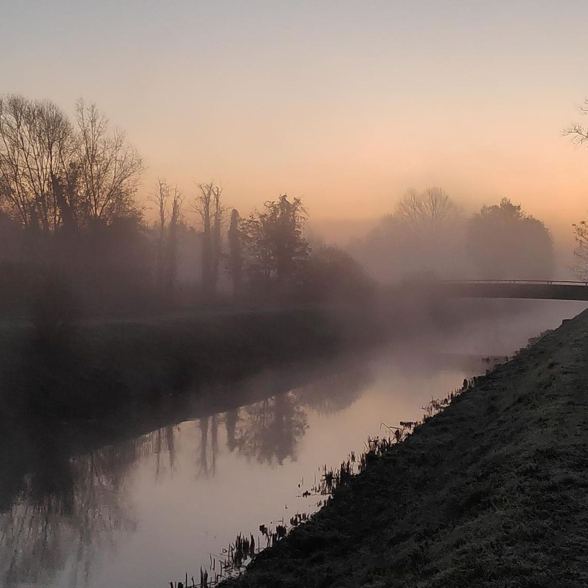
The resurgences are spontaneous outcrops of water, typical of the Po Valley: in this particular case, in the mountains the water of rain or snow origin is not retained by the karst soil of the Asiago Plateau and the Little Dolomites; instead of remaining on the surface and descending through the valleys, it infiltrates the rocks, forming cracks, tunnels and caves; after this slow journey underground, which can last 10 years, in the low plain it encounters waterproof clay layers which force it to re-emerge. It comes out very pure, very clear, full of mineral salts and at a constant temperature of 10-13°. This is how the Bacchiglione river originates, in the middle of the countryside as if by magic, and then flows through Vicenza, Padua and finally flows into the Adriatic. The Bacchiglione Resurgences are a nature reserve which, thanks to the aforementioned peculiarities of the water, create an ideal habitat to host animal and plant species not common in the surrounding areas. They are a resting place for migratory birds and there is in fact a hut for birdwatching. This oasis of peace is open on weekends and divided into three areas: the first accessible for free; the second only with a guided tour (for a fee, booking on the site a few days in advance); the last area is a complete reserve and can only be used for scientific purposes. https://www.risorgivedelbacchiglione.it
2
0

Beautiful area for walking and cycling! For the gravel it is a paradise! DESCRIPTION: A resurgence, or fountain, is a source of fresh water of natural origin, sometimes made to emerge by man, typical of alluvial plain soils such as the Po-Venetian Plain. The Bacchiglione river originates at the foot of the Vicentine Prealps and runs through a large stretch of the Po Valley, crossing two large cities, Vicenza and Padua. Since ancient times it has represented a very important communication route and its waters have been exploited for many productive and commercial activities. The ancient name of this river was "Edrone", as mentioned for the first time in the writings of Pliny the Elder in the 1st century. A.D. while the current name "Bacchiglione" could derive from the dialect verb "bacajare" that is to rattle, chat continuously, perhaps because the gurgling produced by the water during floods is similar to human shouting. In the Venetian Plain, in the area around Dueville, the waters that flow deeply encounter increasingly consistent layers of impermeable clay, which hinder their underground flow and "force" them to spontaneously rise to the surface. In this way the suggestive spring springs are formed: small hollows in which the perennial gushing of the streams of water originates a stream called "resurgence". Some of these springs, marked on the map of the Risorgive del Bacchiglione, are also visible within the area! The spring water has several peculiarities: it is very clear and, thanks to its constant temperature (between 10 ° and 13 ° C), it creates a particular microclimate that is perfect for hosting animal and plant species that are not common in the neighboring areas.
3
0
크리조 주변에서 가장 인기 있는 명소


더 살펴보기
크리조 주변의 최고의 동굴을 찾기 위해 이 가이드를 확인해보세요:
