슈타트발트 에틀링겐에서 가장 멋진 11개의 천연기념물
천연기념물을 방문하여 슈타트발트 에틀링겐의 아름다운 풍경을 만나보세요. 슈타트발트 에틀링겐에 있는 11
개의 천연기념물과 상세 정보를 살펴본 후에 방문하고 싶은 천연기념물을 다음 모험 계획에 추가해보세요!
마지막 업데이트: 9월 3, 2026
칼스루에 멧돼지 우리
하이라이트 • 구조물
번역자 Google •
팁에 의해

Wattkopf 파노라마길
하이라이트 (구간) • 트레일
번역자 Google •
팁에 의해

이런 장소를 발견하려면 지금 가입하세요
최고의 싱글 트랙, 봉우리 및 다양한 흥미로운 야외 장소에 대한 추천을 받아보세요.
무료 회원 가입
카를스루에 정상 십자가
하이라이트 • 정상
번역자 Google •
팁에 의해


오늘 무료 계정으로 시작하세요
다음 모험이 기다리고 있어요.
로그인 또는 가입하기

커뮤니티 팁

높이 약 6.5미터의 십자가는 칼스루에 오버발트에서 쓰러진 아카시아 나무로 만들어졌습니다. 무게는 약 1톤이며 크레인을 사용하여 설치해야 했습니다. 시립 산림 노동자들이 사랑으로 손수 만들고 정교하게 장식했습니다. 정상의 십자가는 약 4톤의 기초판으로 지지되어 폭풍과 돌풍에 필요한 안정성을 구조물에 제공합니다.
2
0

Summit cross on the highest point in the Karlsruhe district. This is located at an altitude of 323 meters, not far from the Wettersbach radio tower. The cross, approximately six and a half meters high, was made from a fallen black locust tree from the Karlsruhe Oberwald forest.
8
0

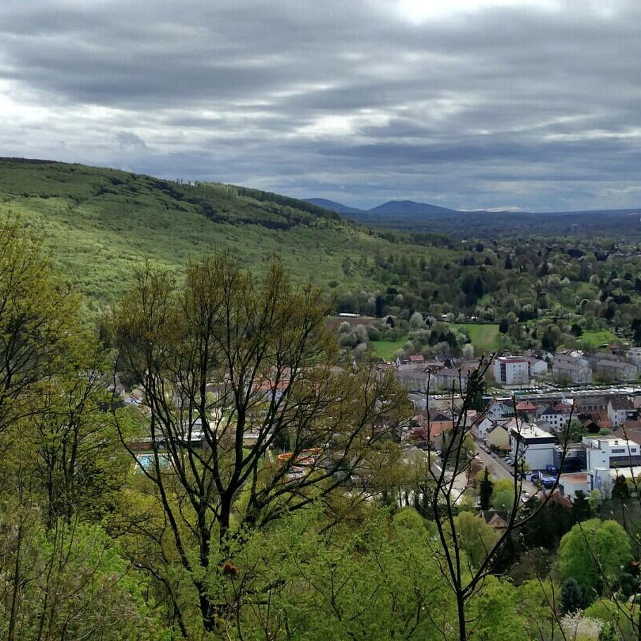
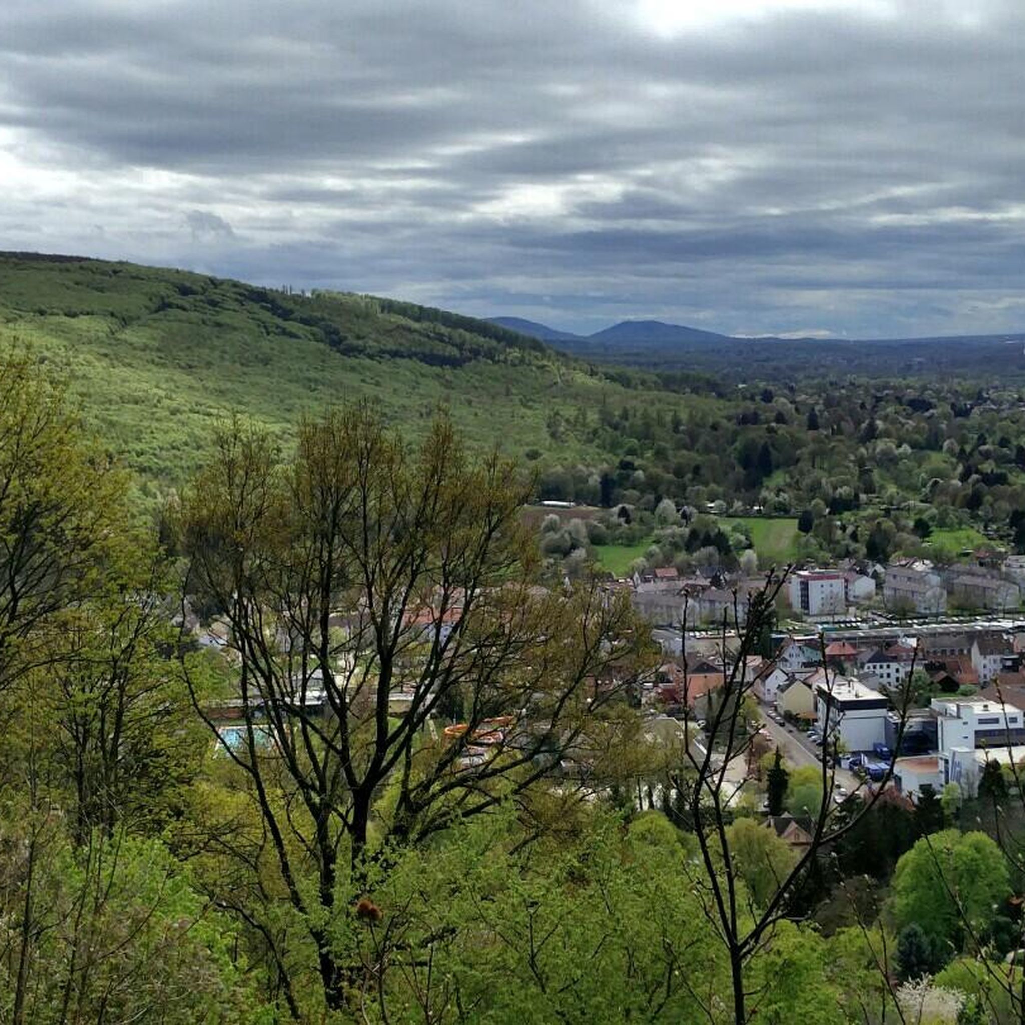
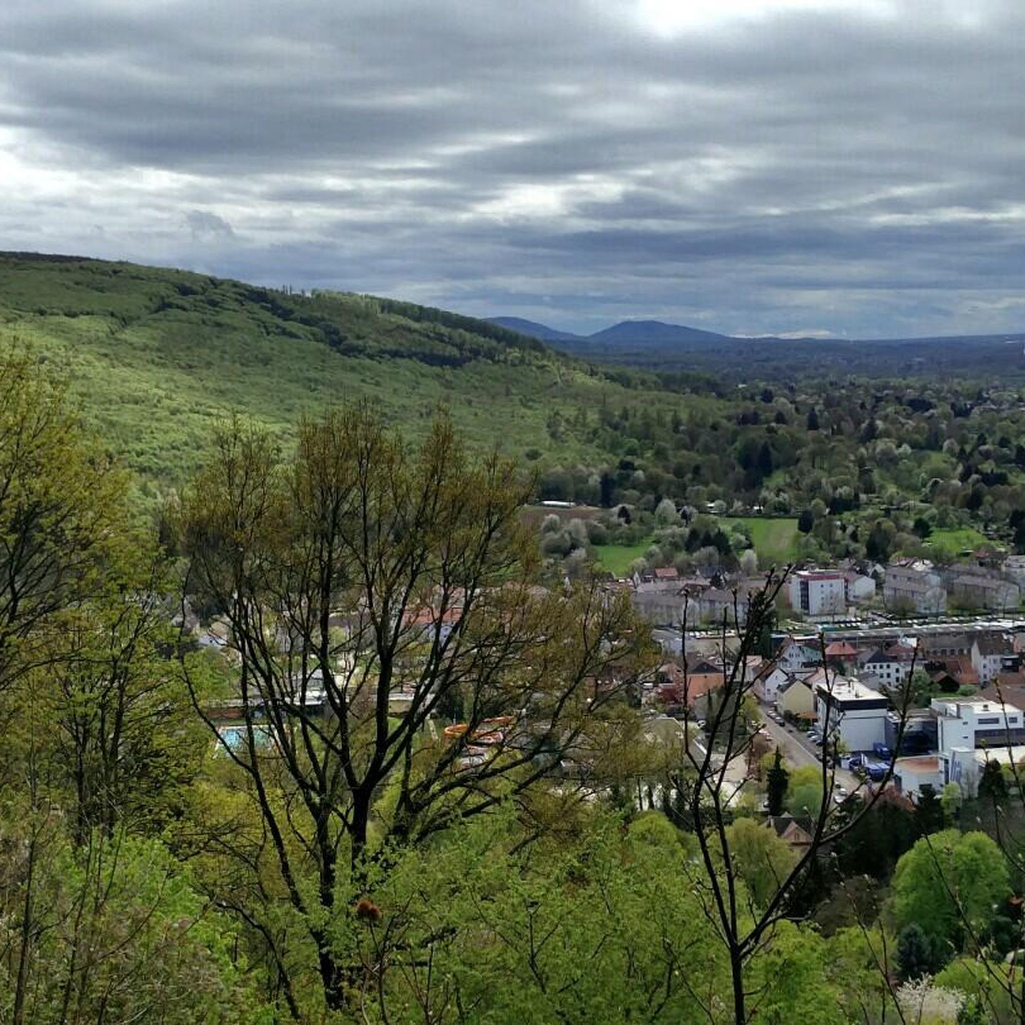
Beautiful path with fantastic views over Ettlingen, the Alb Valley, and the Rhine plain to the Vosges Mountains. The best view is in the middle section around the White House, where there are also very pretty and individually designed garden plots on both sides of the path, often with beautiful natural stone walls.
7
0
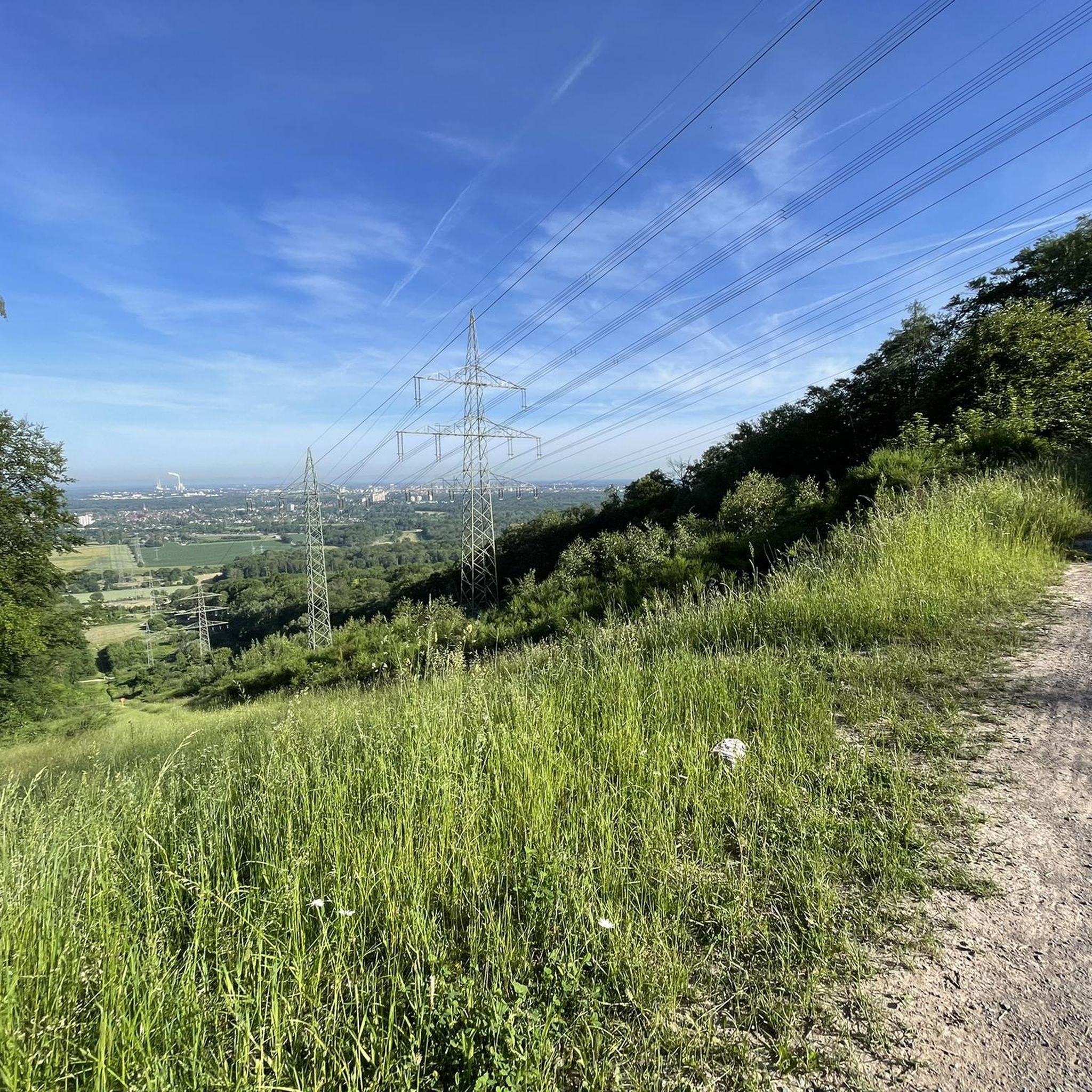
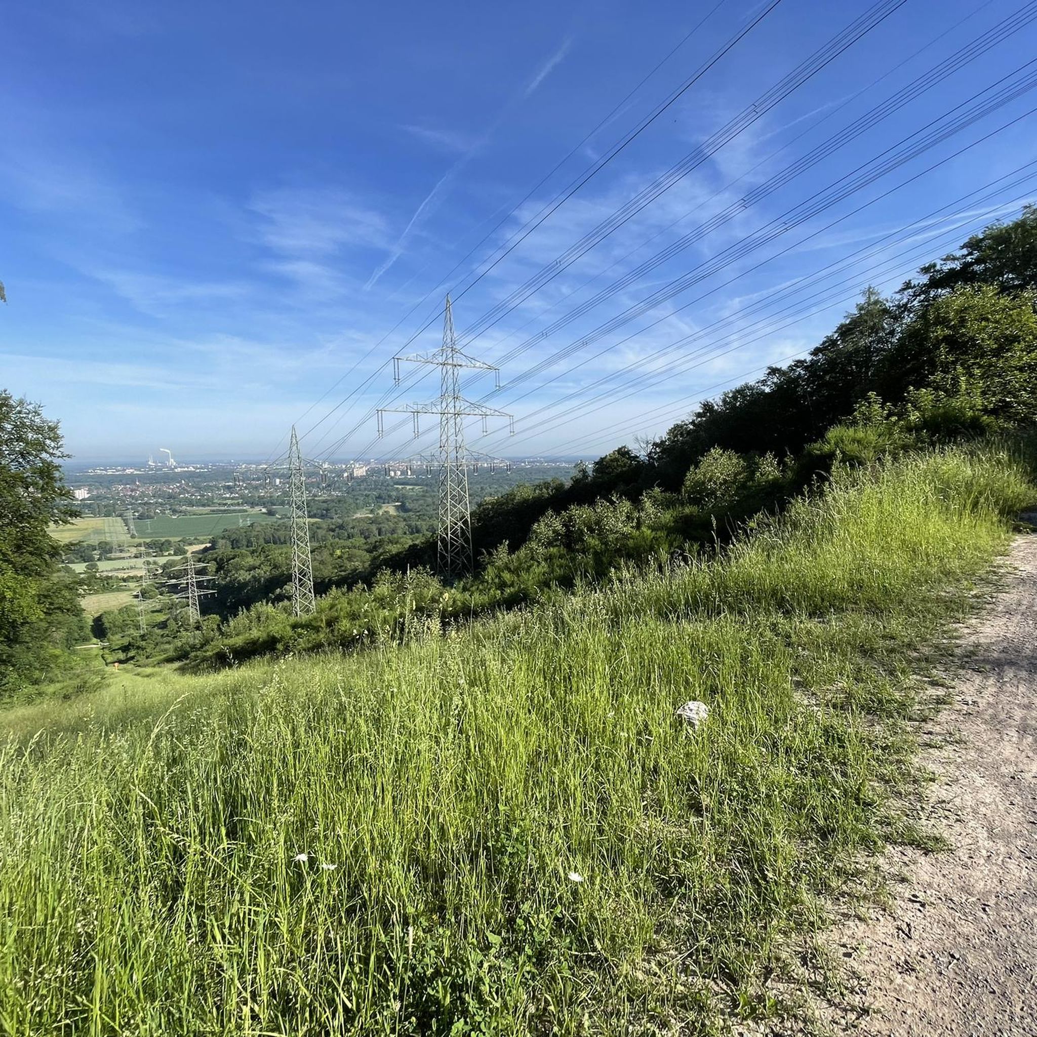
The panoramic trail at Wattkopf is a scenic contribution from the portal municipality of Ettlingen to the Central/Northern Black Forest Nature Park. It is around 2.5 km long and takes around an hour and a half to walk over the Robberg and parts of the city forest, past various viewpoints and sights. The walk offers walkers and hikers impressive views of the city, the front Alb valley and the Rhine plain as far as the Palatinate mountains and the Vosges in Alsace. At 17 stations there are information boards about scenic features and cultural and historical sights.
3
0

Beautiful hike with lot of hidden paths .. good workout.
2
0

The panoramic trail is around 2.5 km long and takes around an hour and a half to walk over the Robberg and parts of the city forest, past various viewpoints and sights. The tour offers us - especially from the Bismarck Tower - impressive views of the city, the front Alb valley and the Rhine plain as far as the Palatinate mountains and the Vosges in Alsace. There are information boards at 17 stations about special landscape features and cultural and historical sights. Two starting points are recommended for the tour: the car park at the end of Bismarckstrasse by the old water reservoir or the car park on the upper Vogelsangweg by the wayside cross at the "Kaisereiche". Source and further information: https://www.albtal-tourismus.de/tour/panoramaweg-am-wattkopf-e63331fa0f
2
0

This is indeed the highest point in the Karlsruhe city area. However, the wild boar enclosure will no longer exist in 2025.
2
0

A beautifully landscaped wildlife enclosure with a summit cross
2
0
슈타트발트 에틀링겐 주변에서 가장 인기 있는 경로
슈타트발트 에틀링겐 주변에서 가장 인기 있는 명소


더 살펴보기
슈타트발트 에틀링겐 주변의 최고의 동굴을 찾기 위해 이 가이드를 확인해보세요:
