브레시아에서 가장 멋진 20개의 협곡
브레시아에 있는 멋진 협곡 20
개를 소개해드릴게요. 아래에서 멋진 협곡을 살펴보고, 다음 브레시아 모험에 도움이 될 만한 사진, 팁, 추가 정보를 알아보세요.
마지막 업데이트: 10월 28, 2026

티냐레 폭포로 가는 길
하이라이트 (구간) • 트레일
번역자 Google •
팁에 의해

이런 장소를 발견하려면 지금 가입하세요
최고의 싱글 트랙, 봉우리 및 다양한 흥미로운 야외 장소에 대한 추천을 받아보세요.

카르티에레 계곡의 종이 박물관
하이라이트 • 역사적 장소
번역자 Google •
팁에 의해

그로테 디 카툴로 로마 빌라 유적지
하이라이트 • 역사적 장소
번역자 Google •
팁에 의해


Canalone del Maffa
하이라이트 (구간) • 트레일
번역자 Google •
팁에 의해

파르코 델레 푸치네 디 카스토
하이라이트 • 등반
번역자 Google •
팁에 의해


오늘 무료 계정으로 시작하세요
다음 모험이 기다리고 있어요.
브레시아 주변 인기 장소
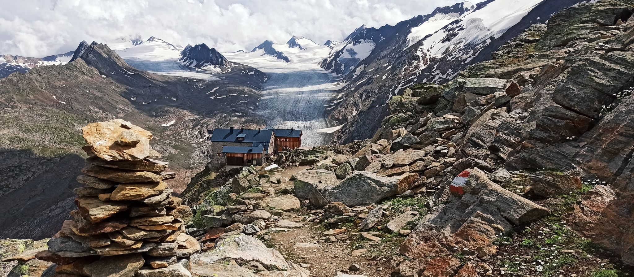
클래식 알프스 교차로부터 멀리 - L1 가르미쉬에서 브레시아까지
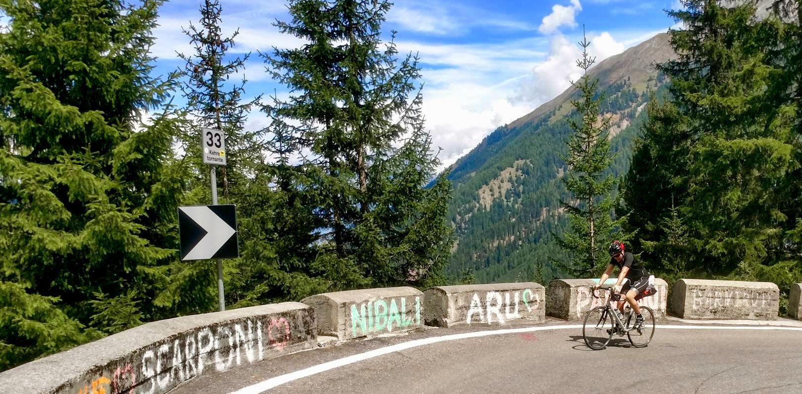
산에서 바다까지 — 북부 이탈리아 도로 사이클링
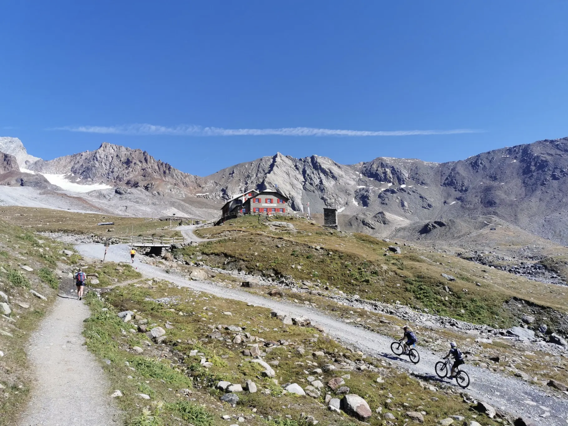
오르틀러 주변의 고산 트레일에서 7단계
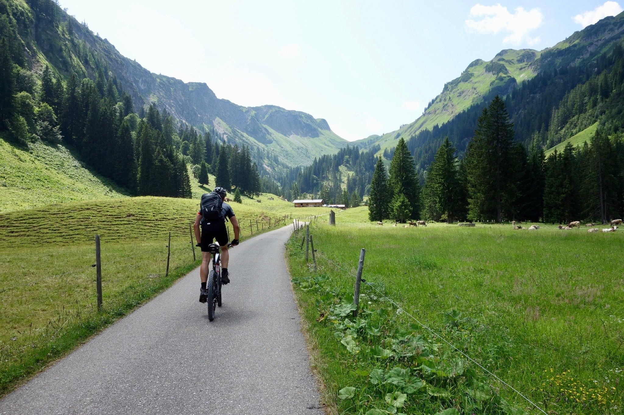
Heckmair Transalp – the original Alpine Crossing
Road to BAM! 2026 – Condividi la strada
Cycling routes to discover authentic Lombardy
Lombardy by bike – discover historic villages and natural beauty
From the lake to the peaks - hiking on Lake Iseo
The Pizza Pilgrimage – Milan to Naples, fuelled by pizza
Trekking in Val di Sole – 7 day hikes at high altitude
브레시아의 다른 모험


커뮤니티 팁

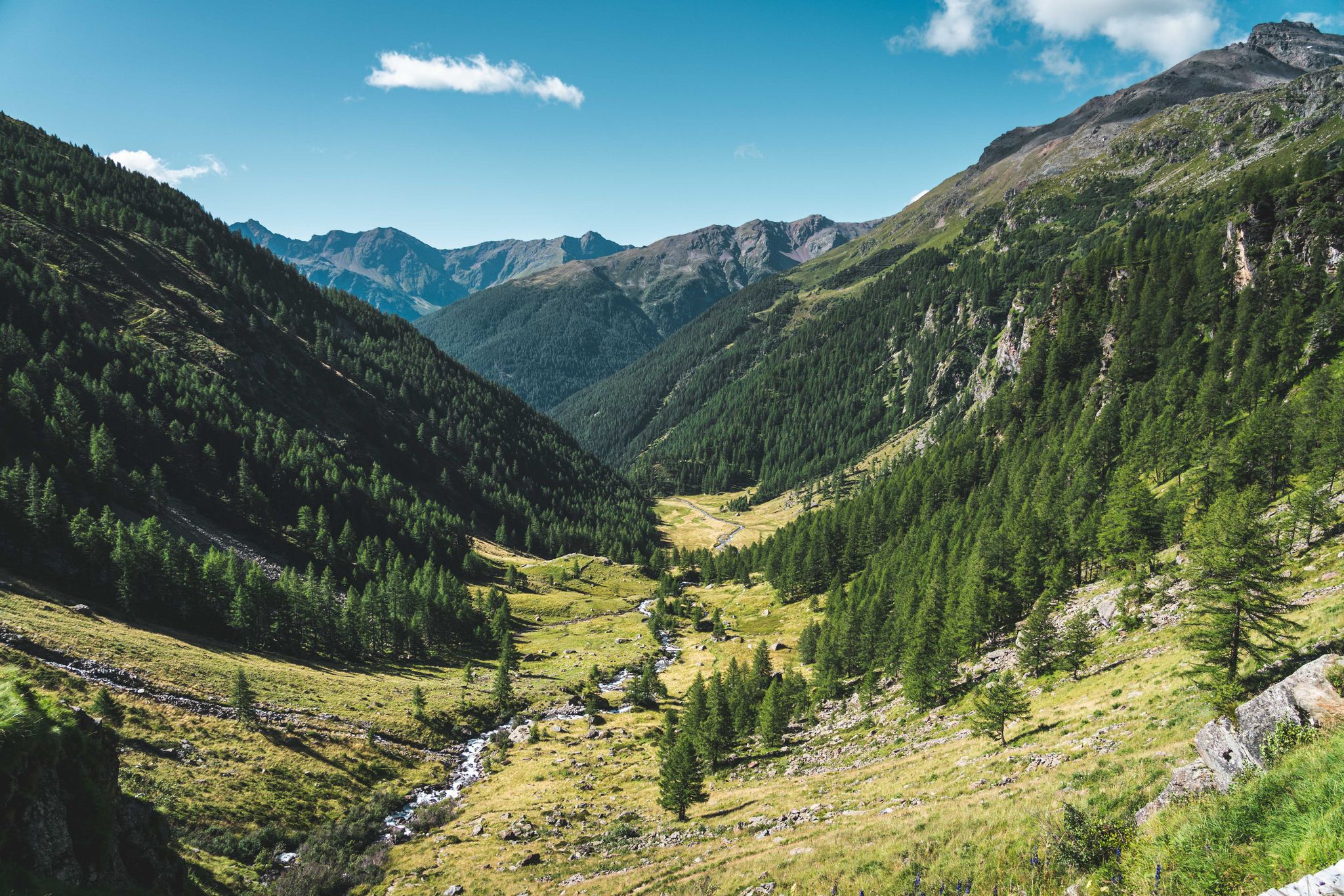
발베스티노 호수로 이어지는 좁은 계곡. 길이는 3-4km이며 완전히 사람이 살지 않는 곳입니다. 계곡 바닥에는 작은 시냇물과 작은 길이 있습니다.
0
0
멋진 계곡으로, 꾸준하고 과하지 않은 경사를 가지고 있습니다. 작은 비포장도로와 시냇물만이 이곳을 지나갑니다. 길이는 3-4km이며 완전히 인적이 드뭅니다.
0
0


Val Canè is a beautiful alpine valley located in Alta Val Camonica, within the Stelvio National Park. It is a secondary valley that extends north of the town of Canè, ending with Punta di Pietra Rossa (3228 m). The valley is crossed by the Fomedio stream, which originates from Lago di Pietra Rossa (2601 m). It is surrounded by imposing peaks, including Coleazzo (3061 m) and Bles (2820 m), which form two triangular basins at the base of the valley. One of the reference points for hikers is the Bivacco Valzaroten (2212 m), which offers shelter for those exploring the upper part of the valley. Val Canè is connected to Val Grande di Vezza through Passo di Val Canè (2699 m). A great advantage for hikers is the possibility of going up the valley by car to Cortebona (1766 m), with prior municipal authorization, until 9 in the morning
0
0
The upper part of Val Canè is a spectacular area for mountain and hiking lovers. Located in the Stelvio National Park, this area offers breathtaking views and unspoiled nature. One of the main landmarks is the Bivacco Valzaroten, located at 2210 meters above sea level. From here you can admire the surrounding peaks, including Cima Bles (2609 m), Monte Bles (2820 m), Cima Mattaciul (2823 m) and Cima di Pietra Rossa (2869 m). The area is characterized by alpine meadows, glacial lakes and rich fauna, with the possibility of spotting ibex, marmots and deer. A very suggestive excursion is the one that leads to the Laghetti di Pietra Rossa, located at about 2601 meters above sea level. The route passes through larch and fir forests, offering spectacular views of the valley below. Val Canè is also a connection point with other Alpine valleys, such as Val Grande di Vezza through the Passo di Val Canè (2699 m). Furthermore, in the highest part of the valley there is the Vedretta di Monticello, one of the few perennial glaciers in the province of Brescia
0
0

Exposed on the cliff face. Don't do it. A driving instructor can be fatal.
0
0

A real highlight even without direct contact with the waterfalls. From the market square in Campione it takes 10-15 minutes to get to the tunnel if you are in good shape. From there you have a special view of the water system and can cool off in the flowing water in front of the tunnel.
1
1

Great hiking trail/climb through the gorge. You should have suitable footwear and some alpine experience! There are wire ropes on some of the rock walls to hold on to. Use these > danger of slipping!
1
0


찾고 계신 것을 찾지 못하셨나요?
더 많은 협곡을 보고 싶으신가요? 지역별로 최고의 협곡을 확인해보세요 브레시아:
