경로플래너기능업데이트
App
로그인 또는 가입
앱 다운로드
로그인 또는 가입
경로
Places to see
Canyons
독일
작센-안할트
하르츠 산맥

오스터비크

오스터비크‬에서 가장 멋진 ‪4‬개의 협곡

오스터비크에 있는 멋진 협곡 4
개를 소개해드릴게요. 아래에서 멋진 협곡을 살펴보고, 다음 오스터비크 모험에 도움이 될 만한 사진, 팁, 추가 정보를 알아보세요.

마지막 업데이트: 10월 14, 2026

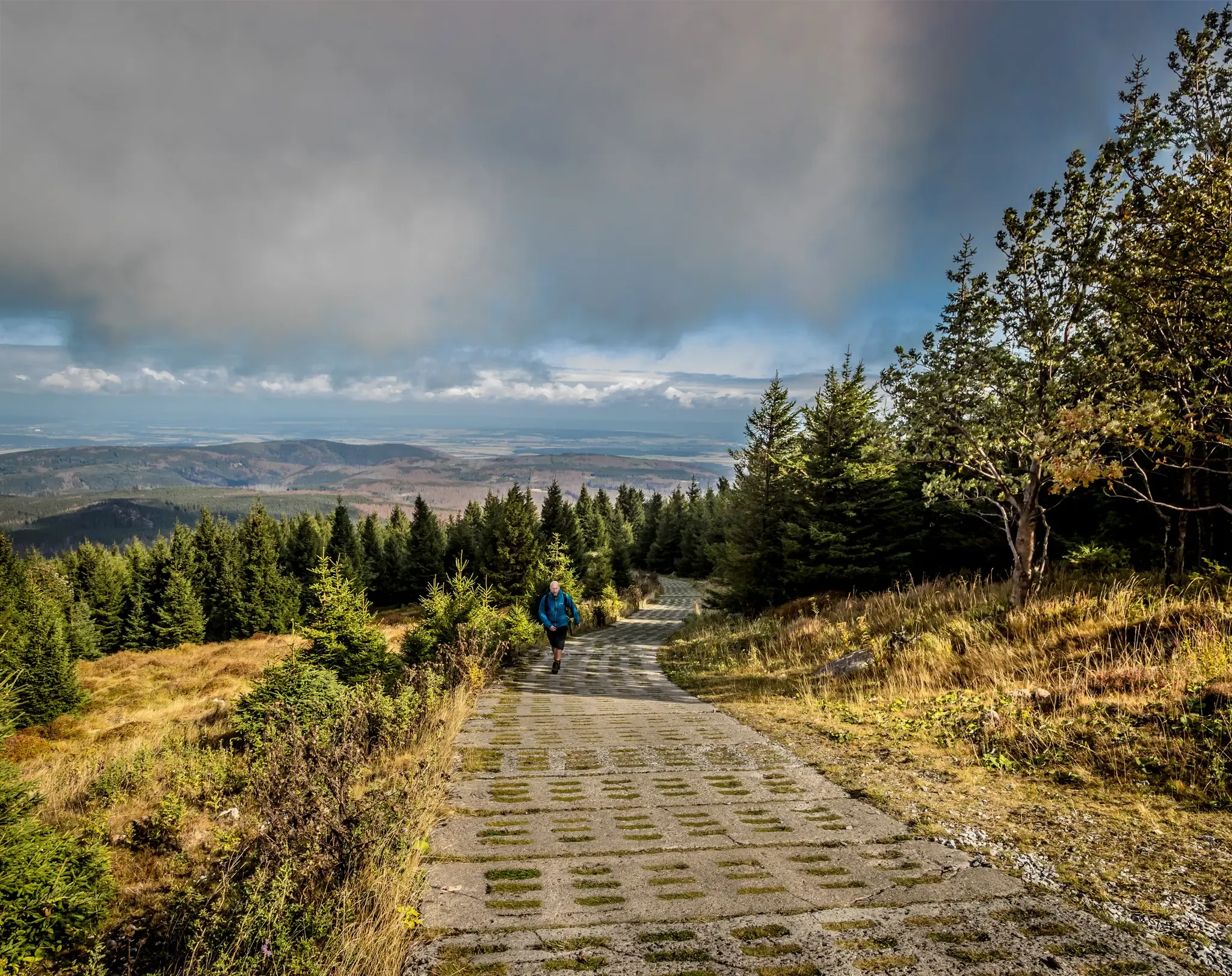
일제탈 계곡

하이라이트 • 협곡

The Ilsetal is a wild and romantic mountain valley southwest of Ilsenburg. The Ilse has its source not far from the Brocken summit at an altitude of almost 1,000 meters …

번역자 Google •

팁에 의해

하이킹 보기휴대폰으로 전송
저장

Ilsetal 계곡

하이라이트 • 협곡

The path always goes along the roaring Ilse. Very nice.

번역자 Google •

팁에 의해

저장

이런 장소를 발견하려면 지금 가입하세요

최고의 싱글 트랙, 봉우리 및 다양한 흥미로운 야외 장소에 대한 추천을 받아보세요.

무료 회원 가입

Bremer Weg — Ilse 계곡을 따라

하이라이트 • 트레일

Walking along the watercourse and listening to the rippling water is really romantic. In summer, it's worth taking a short break to put your feet in the water.

번역자 Google •

팁에 의해

저장

일제탈 계곡

하이라이트 • 협곡

An enchanting landscape in every season, which also attracts many hikers. Here is also the central hiking point on Blochauer. From here countless hiking trails in the Harz go up to Brocken.

번역자 Google •

팁에 의해

저장

그로세스 츠비셀탈

하이라이트 (구간) • 트레일

This path should only be followed with the best sure-footedness and NEVER in snow, storm or other adverse weather conditions!

번역자 Google •

팁에 의해

저장

무료로 가입하여 오스터비크 주변의 더 많은 협곡을 발견하세요.

무료 회원 가입

이미 komoot 계정이 있나요?

오늘 무료 계정으로 시작하세요

다음 모험이 기다리고 있어요.

로그인 또는 가입하기

오스터비크 주변 인기 장소

재통합된 산맥 - 하르츠 국경길

Reunited mountains – hiking along the Harz Border Trail

오스터비크 하이킹

오스터비크 사이클링

오스터비크 로드 사이클링 경로

오스터비크 MTB 트레일

오스터비크 러닝 트레일

오스터비크 주변 그래블 라이딩

오스터비크 등산

오스터비크 주변의 다른 모험

재통합된 산맥 - 하르츠 국경길

하이킹 컬렉션 에 의해

Reiseland Deutschland

커뮤니티 팁

𝓡𝓸𝓾𝓿𝓮𝓷 🚲🏃🏼
10월 10, 2025, Bremer Weg Along the Ilse Valley

The Ilsetal is a wonderful and endless descent for mountain bikers from the Brocken to the beautiful town of Ilseburg

번역: Google•

2

0

Holger
11월 26, 2023, Ilsetal Valley

Here you can relax and unwind. Here's something else from the internet: https://www.ilsenburg-tourismus.de/ilsenburg/stadtinformationen/ilsetal.html

번역: Google•

3

0

This climb should also be carefully considered. Probably not with white sneakers on Sunday afternoon.

번역: Google•

2

0

Wonderfully romantic in the wild and romantic Ilsetal 🌊💙 Lots of hiking routes 🥾🥾🎒 A changing picture in every season 🍃 🍂 🌿

번역: Google•

6

1

In the beautiful and varied Ilsetal you can drive well.

번역: Google•

2

0

The Ilse, known in the upper reaches as Verdeckte Ilse and in the lower reaches as Kanal-Ilse and Mühlen-Ilse, is a 42.9 km long, southeastern and orographically right-hand tributary of the Oker in Saxony-Anhalt and Lower Saxony. Source: https://de.wikipedia.org/wiki/Ilse_(Oker)

번역: Google•

2

1

This is a steep climb, good shoes are a must, ankle-high shoes are recommended. Sure-footedness and a good physical condition are a must

번역: Google•

1

0

The Ilsetal is always possible. All Seasons.

번역: Google•

5

0

오스터비크 주변에서 가장 인기 있는 경로

오스터비크 버스 정류장 출발 하이킹

오스터비크 주변에서 가장 인기 있는 명소

Places to see

Store rating

komoot 모바일 앱으로 영감을 받아보세요

무료 komoot 계정로 끝없는 야외 모험을 손쉽게 찾고, 맞춤 설정하며 길안내할 수 있어요.

또는

지금 komoot에 가입하세요
Store rating

더 살펴보기

이 지역에서 모든 것을 발견하셨나요? 다음 모험을 위해 오스터비크 주변의 추가 협곡을 확인해보세요:

크베들린부르크하셀펠데탈레Bodetal오버하르츠 암 브로켄하즈제로데베르니게로데쉬에르케발렌스테트일젠부르크(하르츠)슈타트 일젠부르크노르다르츠알렉시스바드팔켄슈타인/하르츠할버슈타트

근처 어드벤처 가이드

그로저 폴스타인 즐길거리

background

새로운 정복을 위한 준비를 하세요

무료로 가입하기
탐험하기
경로경로 플래너기능바우처 사용하이킹MTB 트레일로드 사이클링 경로바이크패킹사이트맵
앱 다운로드
소셜 미디어에서 팔로우하기

© komoot GmbH

개인 정보 보호 정책