오스터비크에서 가장 멋진 20개의 산장 & 오두막집
마지막 업데이트: 11월 10, 2026
라벤클리페(까마귀 절벽)
하이라이트 • 전망대
번역자 Google •
팁에 의해

독일 동부의 십자가 (울렌클리펜)
하이라이트 • 기념물
번역자 Google •
팁에 의해

이런 장소를 발견하려면 지금 가입하세요
최고의 싱글 트랙, 봉우리 및 다양한 흥미로운 야외 장소에 대한 추천을 받아보세요.
일세스타인 휴게소(HWN 030)
하이라이트 • 산장
번역자 Google •
팁에 의해

융본 특별 스탬프 지점 (Harzer Wandernadel)
하이라이트 • 휴식 공간
번역자 Google •
팁에 의해

Borkenkäferpfad 쉼터 및 HWN 특별 스탬프
하이라이트 • 산장
The installations of the bark beetle path have been dismantled and planning is underway.
After the …
번역자 Google •
팁에 의해
무료로 가입하여 오스터비크 주변의 더 많은 오두막과 캐빈을 발견하세요.
이미 komoot 계정이 있나요?
오늘 무료 계정으로 시작하세요
다음 모험이 기다리고 있어요.


커뮤니티 팁

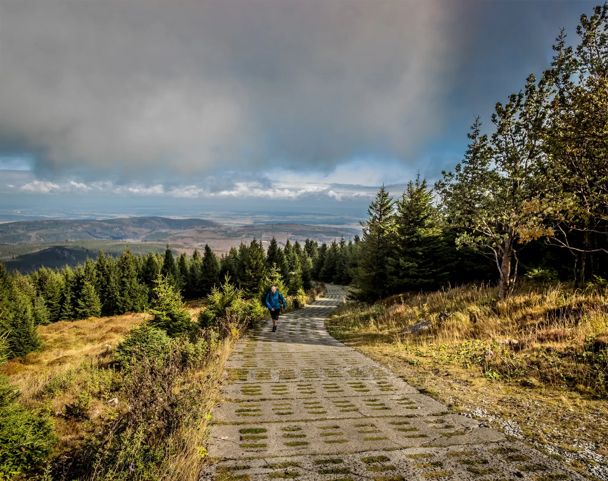
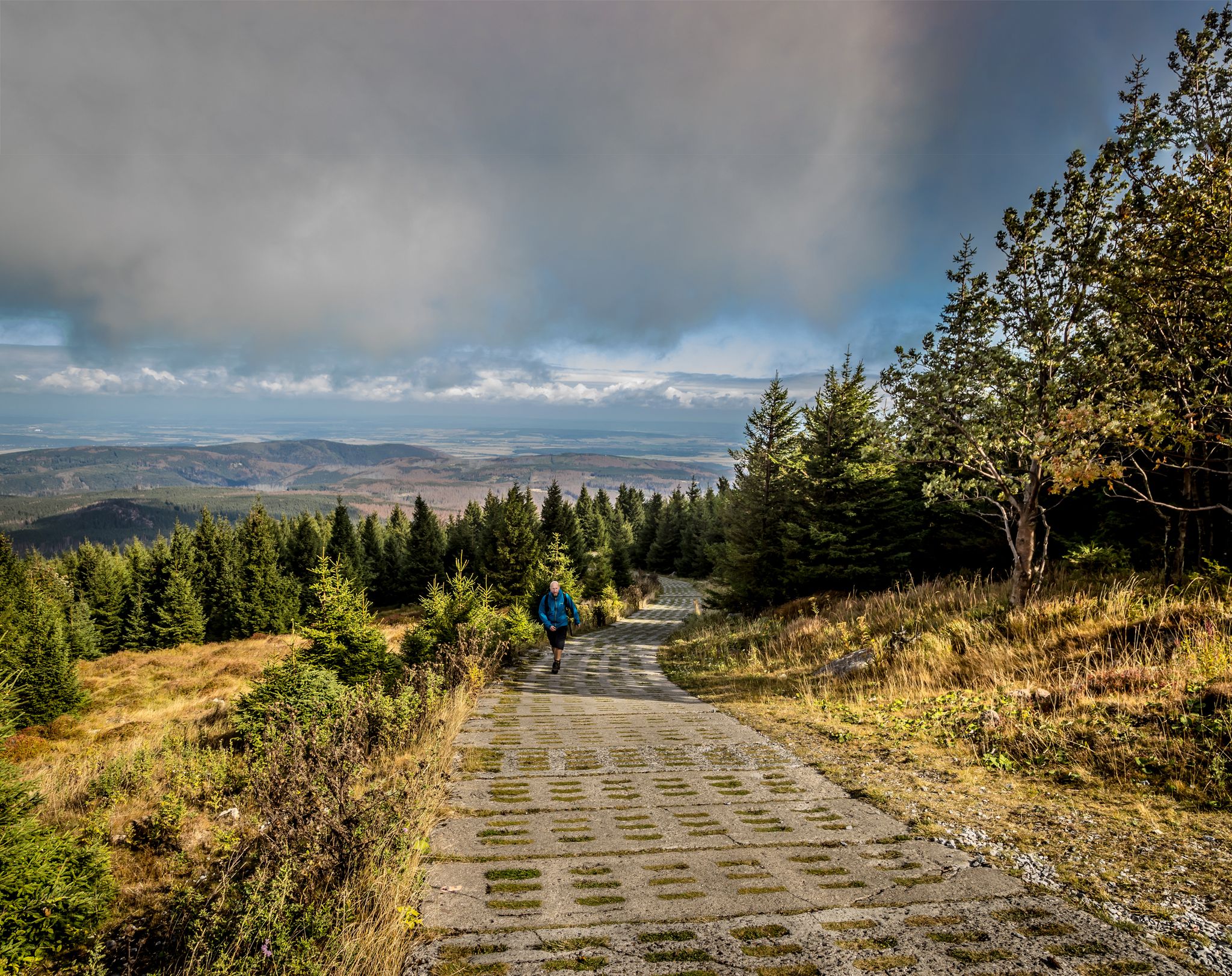
The shelter at the Uhlenklippe offers a place to rest.
7
0

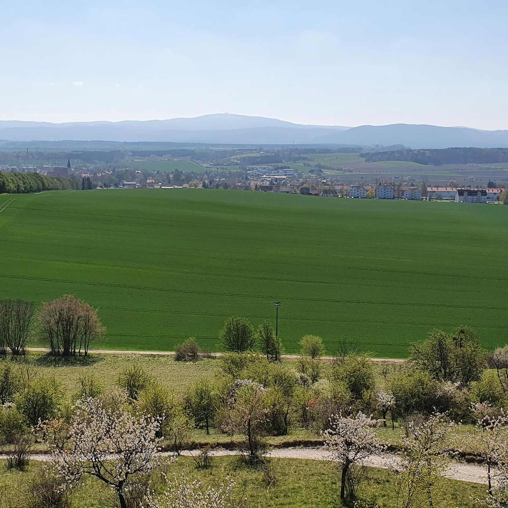
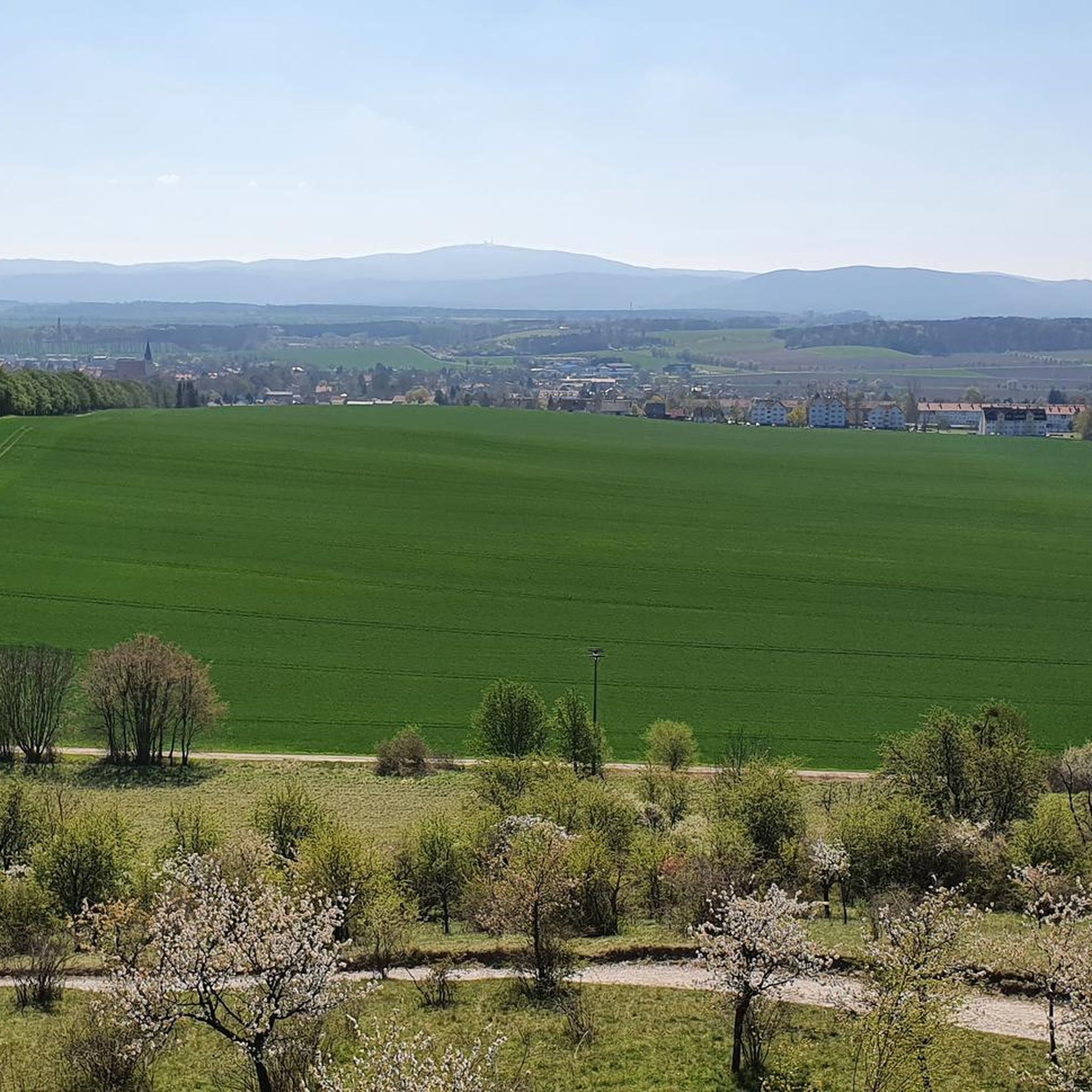
The Harz Cross of the German East (⊙) was inaugurated on June 24, 1950 in the presence of Ernst Reuter, northeast of and slightly below the summit of the Uhlenköpfe (555.4 m above sea level) on the Uhlenklippe, about 2 km southeast of Bad Harzburg (Goslar district, Lower Saxony). The 20.5-meter-high wooden cross, which had become dilapidated by then, collapsed in a hurricane on March 4, 1998. On September 30, 2000, a new steel cross, 17.7 m high and 6.3 m wide, partially clad in wood, was inaugurated. The construction costs amounted to 180,000 DM. The cross is included as No. 122 in the system of stamp stations of the Harz hiking badge; the stamp box hangs on a shelter near the cross. Source: Wikipedia
15
2

A shelter located in the forest transition with a view of the Cross of the German East. Newly emerging pioneer birch forests flank the meandering hiking trail to Bad Harzburg or to the Rabenklippe. Our shelters in the Harz National Park are usually located in places worth seeing and are therefore popular hiking destinations. They serve as a short-term rest and break option and as protection in the event of bad weather. Overnight stays are only permitted in an emergency. In the interest of everyone, whether human or animal, our shelters must be kept clean. https://www.nationalpark-harz.de/de/natur-erleben/verhalten-im-nationalpark/ The Harz National Park wishes you lots of fun in nature
4
0
The bark beetle path near Ilsenburg will become a wilderness path in the future. The installations of the bark beetle path have been dismantled and planning is underway. After the old spruce trees died, a diverse forest quickly developed between the dead spruce trees on the Meineberg near Ilsenburg - a habitat for numerous plant and animal species. The bark beetle path that runs here has long served to provide information and education about the work of these insects in the national park. But nature has reclaimed the area and a young wild forest is growing. Therefore, the path will in future be called the WildnisStieg Ilsenburg and will focus on the new wilderness on the Meineberg with installations and information boards. The special stamp point for the bark beetle path will initially remain, but has been moved to the hiking hut in the upper part of the path.
6
0

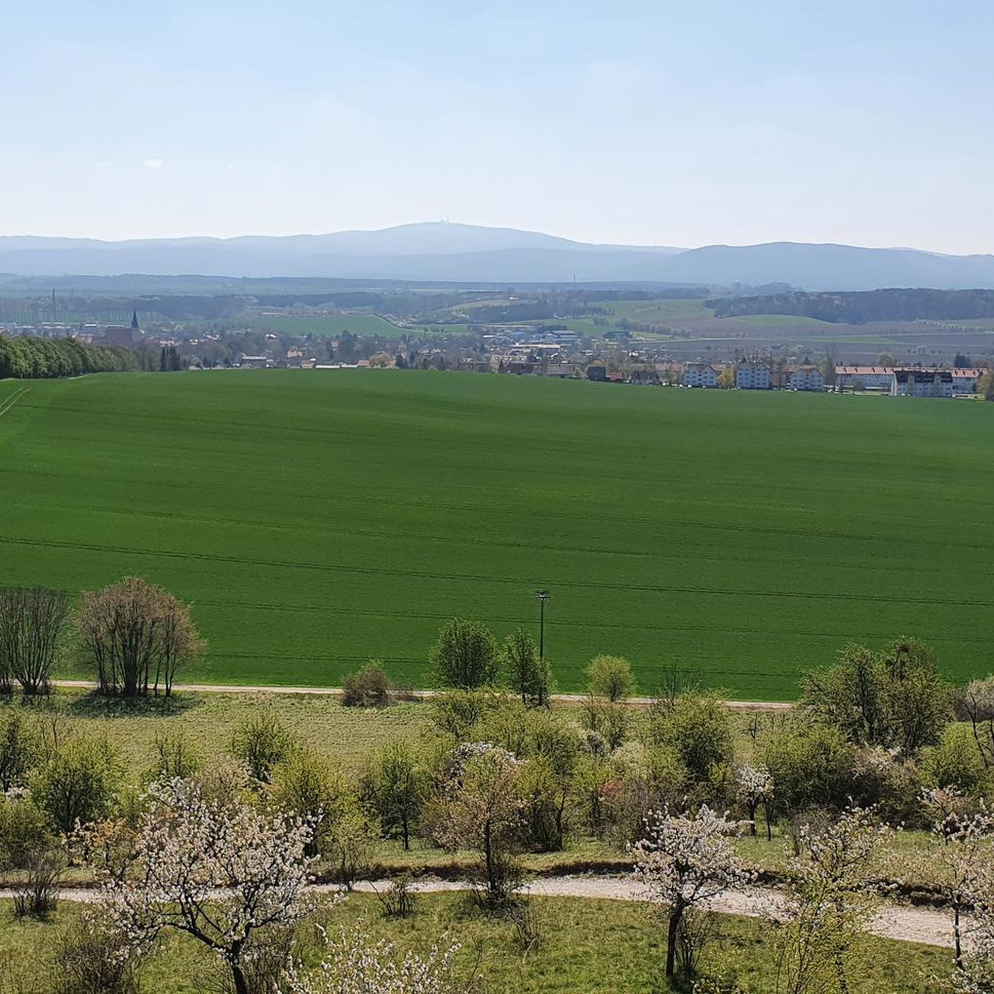
Always a highlight on a hike here and a great photo opportunity, the associated stamping point of the Harz hiking pin is located in a shelter on the hiking trail.
16
2

Danger! Contrary to what is indicated on the komoot map, the special stamping point Borkenkäferpfad is located at Grüneruheplatz.
4
0

The Bark Beetle Trail stamp box was moved to the GrünRuhePlatz crossroads.
10
1

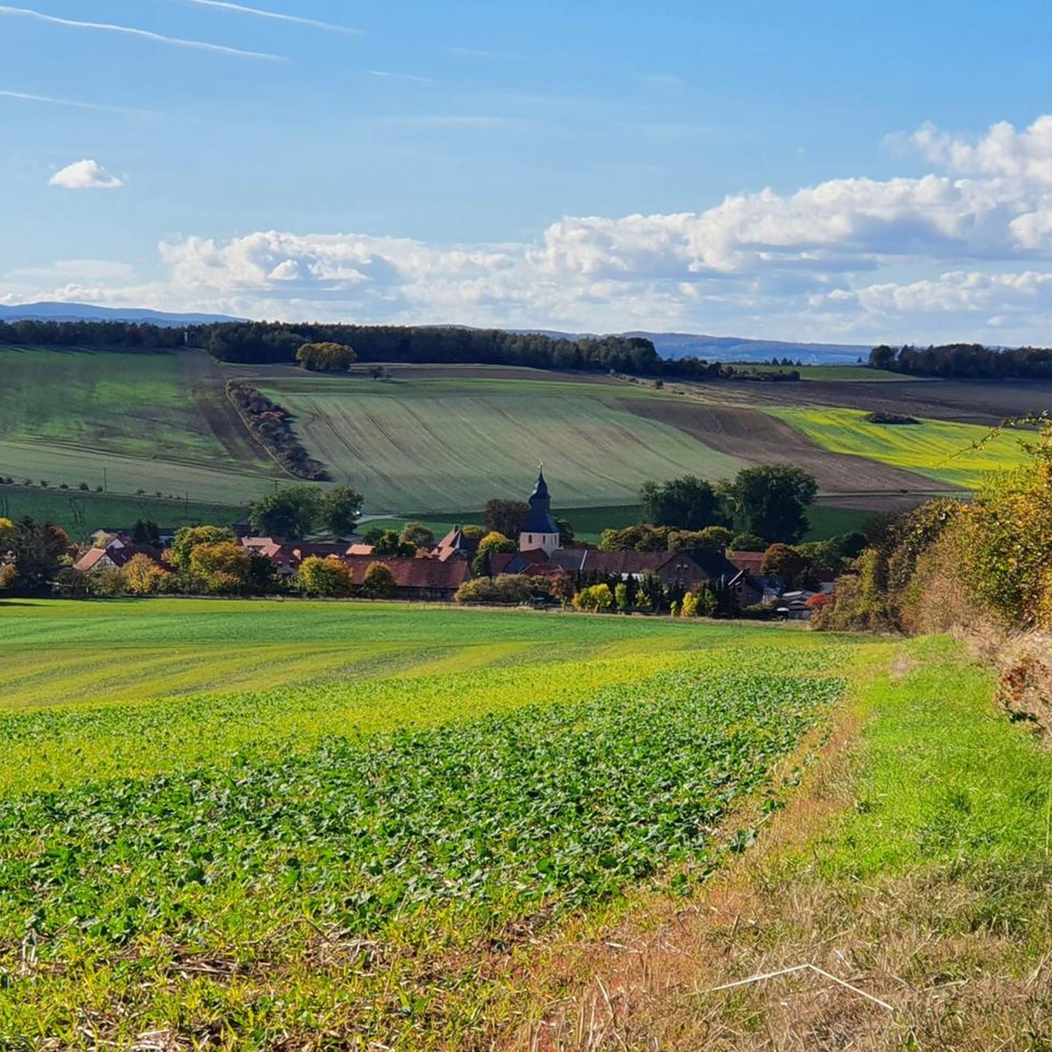
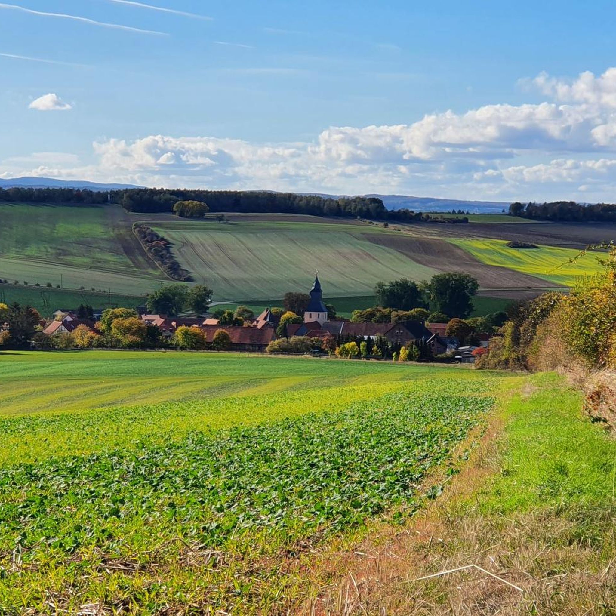
Lots of beautiful paths lead to the Ilsenstein, everything is worth walking
18
5
오스터비크 주변에서 가장 인기 있는 명소


더 살펴보기
이 근처의 최고의 오두막과 캐빈을 확인하여 오스터비크 주변의 더 아름다운 장소를 찾아보세요:
