켈스터바흐에서 가장 멋진 6개의 산 정상
켈스터바흐의 산 정상에 오르면 이 지역의 아름다운 모습을 제대로 구경할 수 있어요. 다만, 6
곳이나 되는 산 정상 중에서 어떤 곳을 가야 할 지 고민된다는 게 문제죠. 켈스터바흐에서 가장 멋진 산 정상을 살펴본 후에 마음에 드는 산 정상을 다음 모험 계획에 추가해보세요.
마지막 업데이트: 9월 16, 2026
신석기 시대 무덤 카펠렌베르크
하이라이트 • 역사적 장소
번역자 Google •
팁에 의해


이런 장소를 발견하려면 지금 가입하세요
최고의 싱글 트랙, 봉우리 및 다양한 흥미로운 야외 장소에 대한 추천을 받아보세요.
오버발트베르크에서 바라본 프랑크푸르트 스카이라인 전망
하이라이트 • 전망대
A wonderful view of the Taunus, Frankfurt's skyline or the Odenwald reward you here
번역자 Google •
팁에 의해

Lorsbacher Kopf 정상 (308m)
하이라이트 • 정상
번역자 Google •
팁에 의해

펠트베르크와 알트쾨니히 전망
하이라이트 • 전망대
번역자 Google •
팁에 의해

무료로 가입하여 켈스터바흐 주변의 더 많은 봉우리를 발견하세요.
이미 komoot 계정이 있나요?
오늘 무료 계정으로 시작하세요
다음 모험이 기다리고 있어요.

커뮤니티 팁

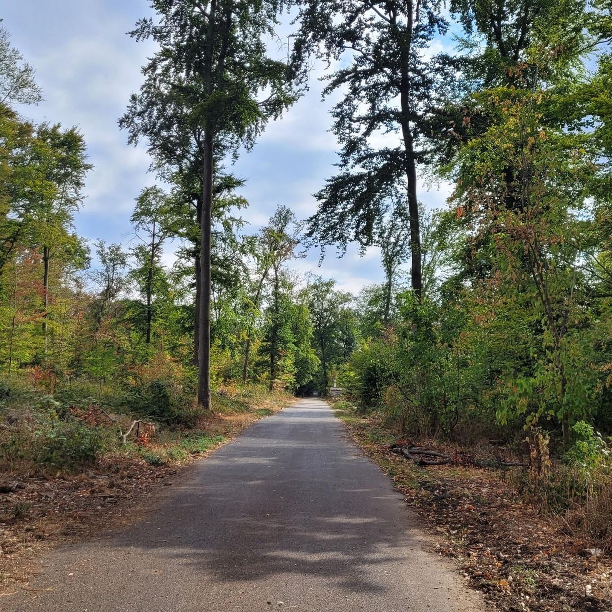
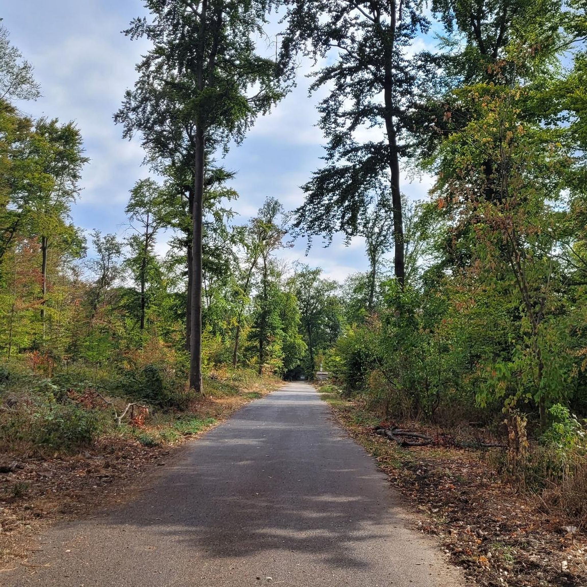
수년간 그 옆을 지나쳤는데, 오늘은 Lorsbacher Kopf를 올랐습니다. 가치가 있을까요? 아니요 - 적어도 누군가 전망이나 인상적인 정상를 기대한다면 말이죠. 개인적으로 '모든 길을 한 번씩 가보고 싶다'는 마음이라면? 네.
0
0

Six thousand years ago, Hofheim was a center of the Michelsberg culture. And in a way, Hofheim is still a center today: The most important researchers in this field from all over Europe are currently gathered here. The symposium "The Hofheim Experiment: Lifeworlds and Dynamics of the Michelsberg Culture" addresses various aspects – from climate to archaeogenetics, from settlement structures to economic systems.
10
0

The Kapellenberg in Hofheim am Taunus is one of the most important Neolithic archaeological sites in Germany. Here, archaeologists discovered the remains of a roughly 6,000-year-old hilltop settlement of the Michelsberg culture, featuring impressive ramparts, house plans, and a monumental burial mound. Around 900 people once lived on the plateau, protected by palisades and earthworks. Finds such as a jade axe from the Western Alps provide evidence of extensive trade relations and early social organization. Today, a 4.2-kilometer-long archaeological trail leads through the site, offering fascinating insights into Stone Age life with information panels and viewpoints. Those who walk attentively will still recognize remnants of the ramparts in the area. A detour to the Hofheim City Museum, where original finds are on display, is particularly worthwhile. The Kapellenberg impressively combines nature, history, and research – a tranquil place with an ancient past high above the Main-Taunus region.
0
0
Michelsberg Culture - Traces of Settlement around 4000 BC on the Kapellenberg The first traces of the Michelsberg Culture in Hofheim can be dated to before 4000 BC. There is evidence of a settlement on the Kapellenberg, although it was not permanently inhabited. Today, the circular wall is the best preserved of its kind because the area remained unused for many thousands of years. It is therefore invaluable for understanding this Neolithic culture. The original boundary consisted of a palisade (between 4200 and 4100 BC), which was used tactically in the surrounding area. After this burned down, a rampart was built (between 3900 and 3800 BC). After another fire, the wall was considerably raised, and another palisade was built on top. The wall (with a circumference of over 3 km) encloses an area of 46 hectares. Since In 2008, the Romano-Germanic Central Museum in Mainz, under the direction of Prof. Gronenborn, in collaboration with the Hesse State Office for Monument Preservation (hessenARCHÄOLOGIE), conducted excavations to learn more about the lives of the original inhabitants on the Kapellenberg. One thing is certain: the settlement dissolved around 3650 BC due to internal disputes. The remaining settlers left. The oldest burial mound in Central Europe, "unique" according to Prof. Gronenborn, and the aforementioned rampart have been preserved. Since 2020, visitors have been able to explore the background of Hofheim's local mountain on a signposted 4-kilometer "Archaeological Trail."
4
0
The summit of the Kapellenberg, here is also the excavation site for the old settlement
0
0

A nice little extra summit, but without a view and without a summit cross
0
0

The Lorsbacher Kopf is not a particularly impressive summit. There is only a boundary stone that marks the highest point.
2
1


