요툰헤이멘 산맥에서 가장 멋진 20개의 산 정상
요툰헤이멘 산맥의 산 정상에 오르면 이 지역의 아름다운 모습을 제대로 구경할 수 있어요. 다만, 20
곳이나 되는 산 정상 중에서 어떤 곳을 가야 할 지 고민된다는 게 문제죠. 요툰헤이멘 산맥에서 가장 멋진 산 정상을 살펴본 후에 마음에 드는 산 정상을 다음 모험 계획에 추가해보세요.
마지막 업데이트: 8월 29, 2026
플뢰옌에서 바라본 베르겐 전경
하이라이트 • 전망대
팁에 의해

프레이케스톨렌에서 본 리세피요르드 전망
하이라이트 • 전망대
번역자 Google •
팁에 의해

이런 장소를 발견하려면 지금 가입하세요
최고의 싱글 트랙, 봉우리 및 다양한 흥미로운 야외 장소에 대한 추천을 받아보세요.
무료 회원 가입

Fjellstua에서 본 올레순 전경
하이라이트 • 전망대
번역자 Google •
팁에 의해

Glittertinden
하이라이트 • 정상
번역자 Google •
팁에 의해


Aksla 전망대 계단 (418계단) – Ålesund 전망
하이라이트 • 전망대
번역자 Google •
팁에 의해

가우스타토펜 정상 산장
하이라이트 • 산장
번역자 Google •
팁에 의해

가우스타토펜 정상 전망대
하이라이트 • 정상
팁에 의해

무료로 가입하여 요툰헤이멘 산맥의 더 많은 봉우리를 발견하세요.
무료 회원 가입
이미 komoot 계정이 있나요?
오늘 무료 계정으로 시작하세요
다음 모험이 기다리고 있어요.
로그인 또는 가입하기
요툰헤이멘 산맥 주변 인기 장소
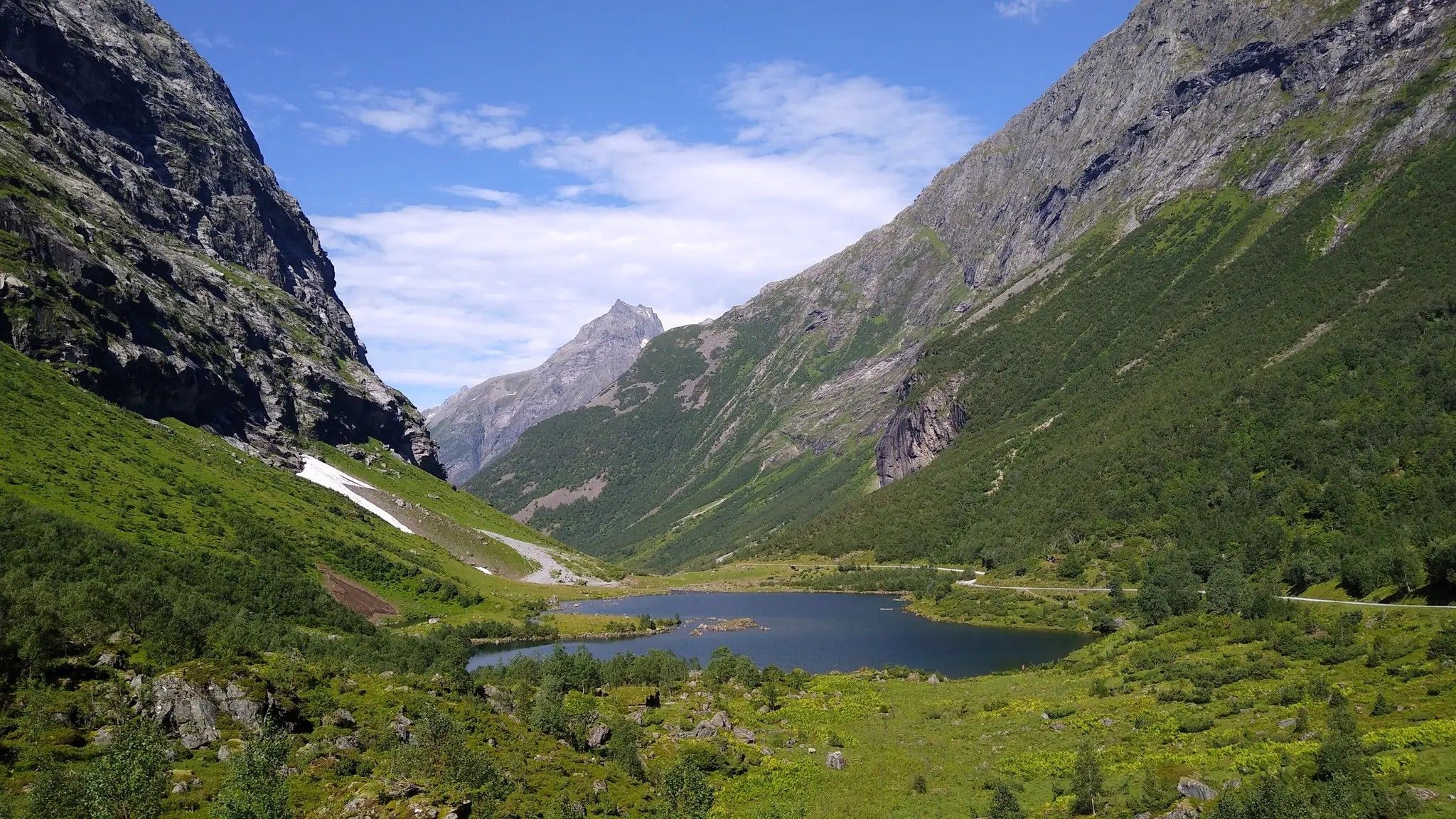
Hjørundfjorden Rundt — 고대 순뫼레 알프스 탐험
크비네달에서 란드비크까지 - 어린이 방랑자 길
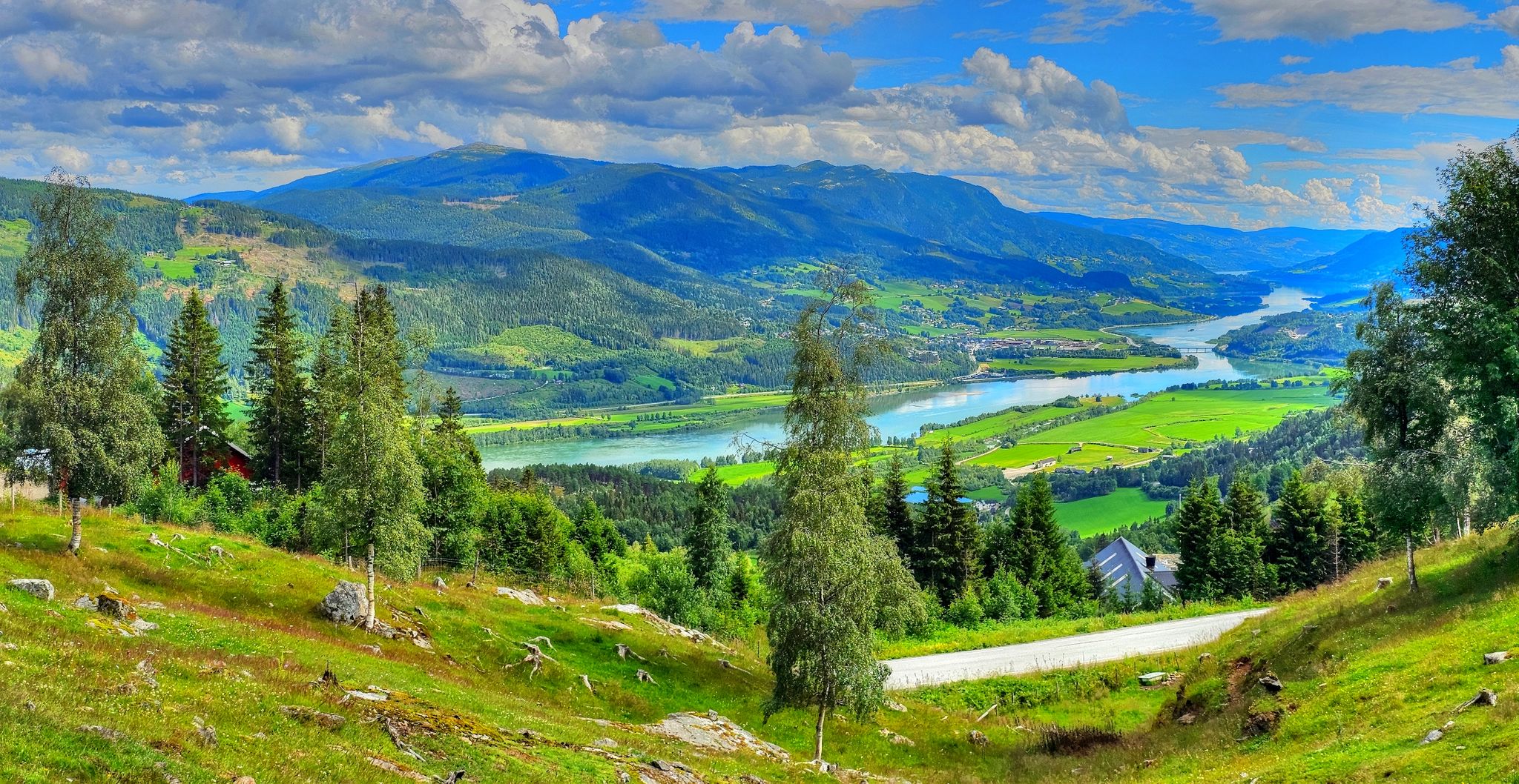
노르웨이를 가로지르는 장대한 여정 - 필그림 루트
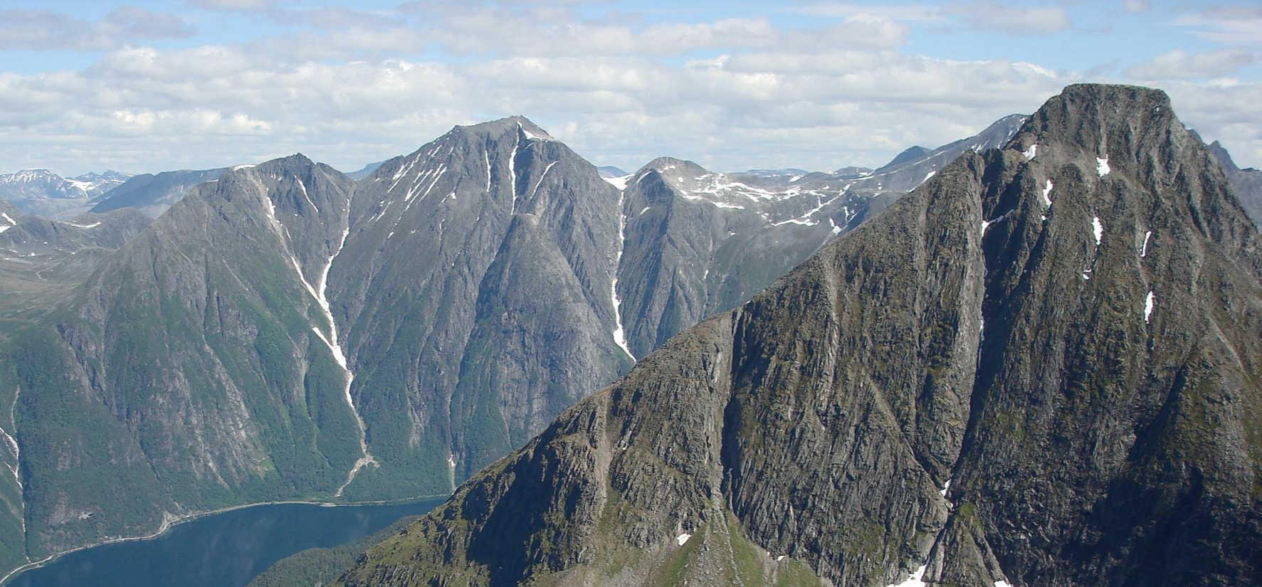
피오르드에서 웅장한 산까지 - SignaTUR 롬달스티엔
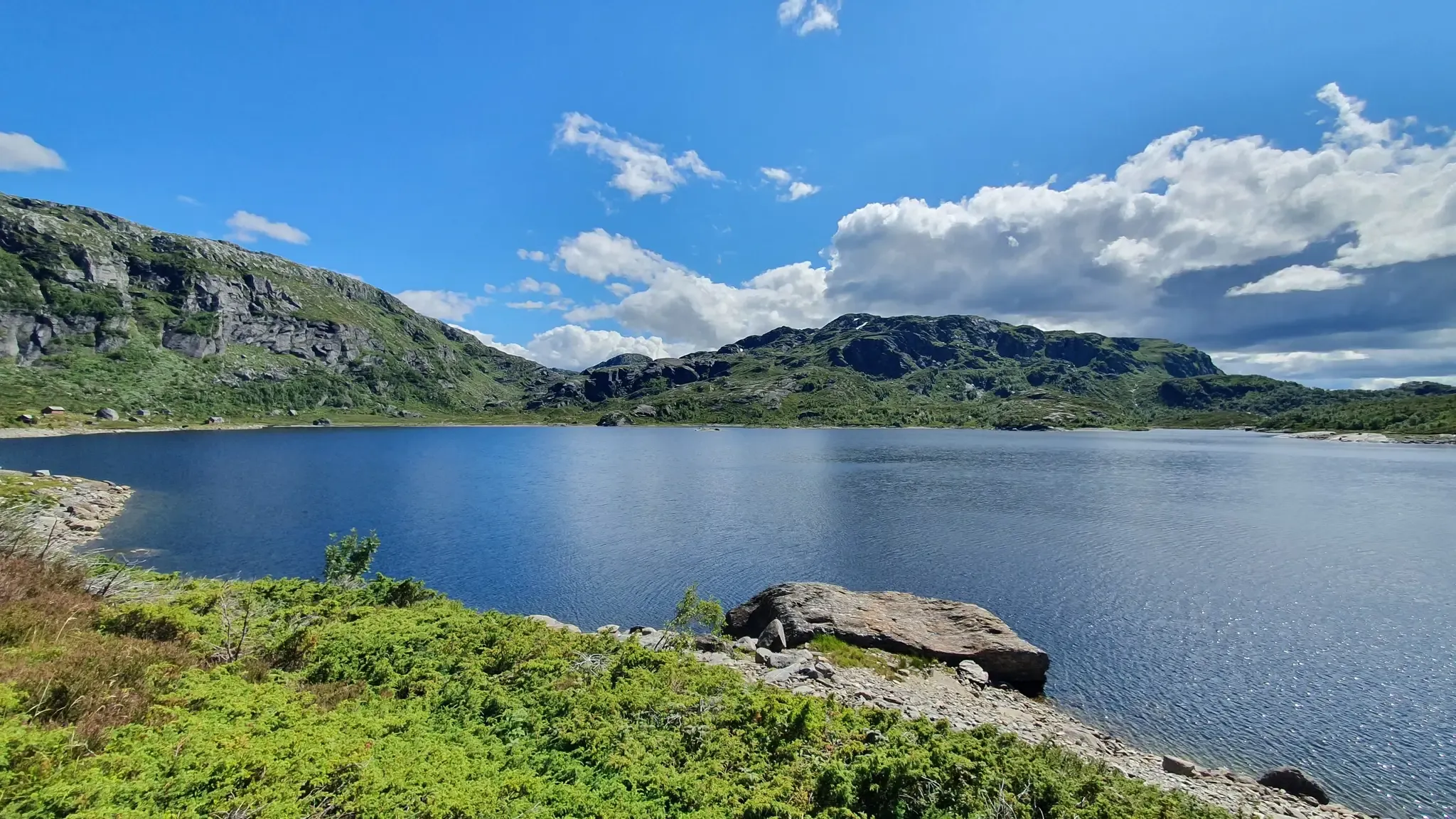
시그나투어 굴루타와 에트네피엘렌 - 노르웨이의 골든 루트 트레킹
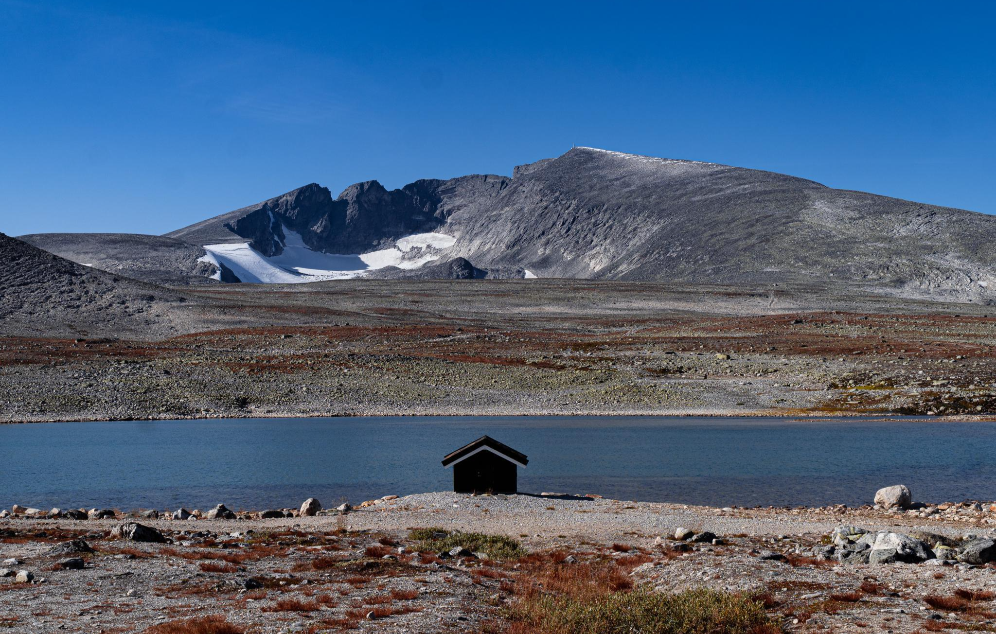
순록, 야생 트레일, 웅장한 봉우리 - SignaTUR SAGA
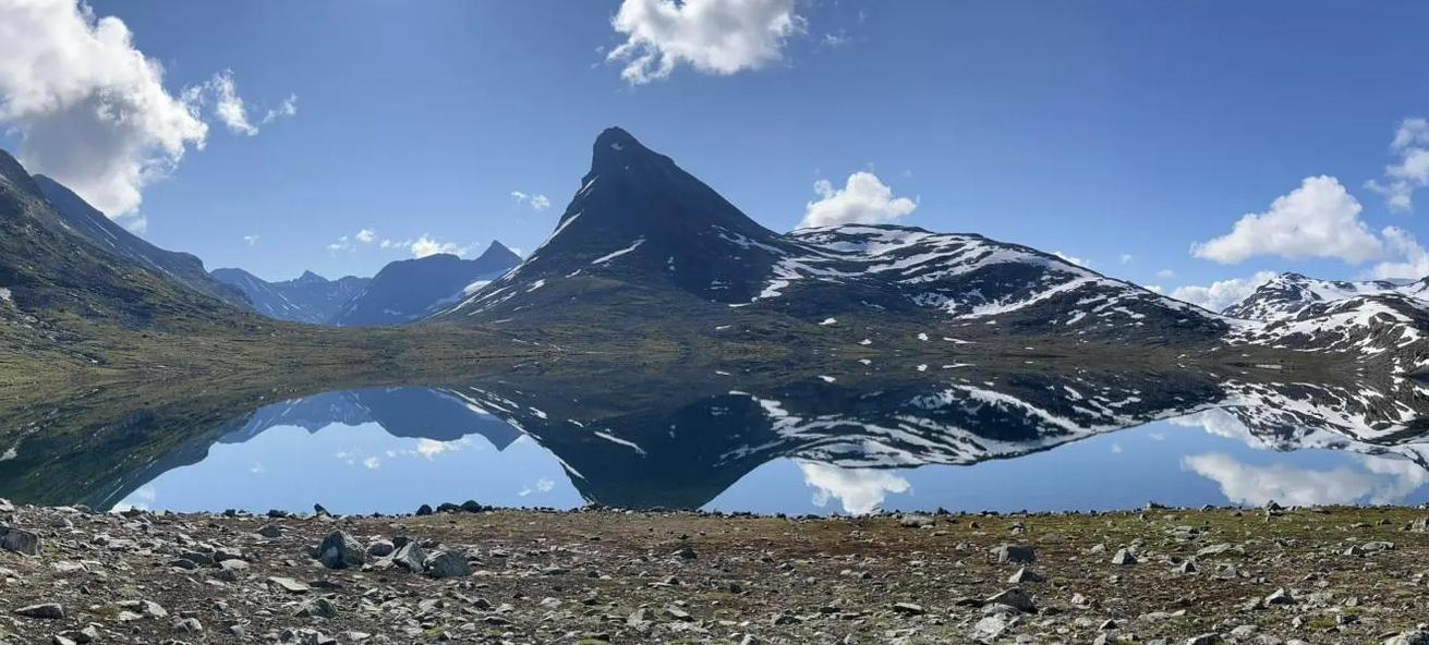
광활한 야생, 장엄한 봉우리, 깊은 계곡 - 시그나투어 옴베이엔
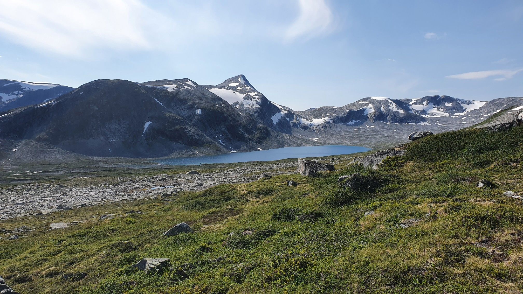
Into Møre og Romsdal's mountainous wilds – SignaTUR i Tafjordfjella
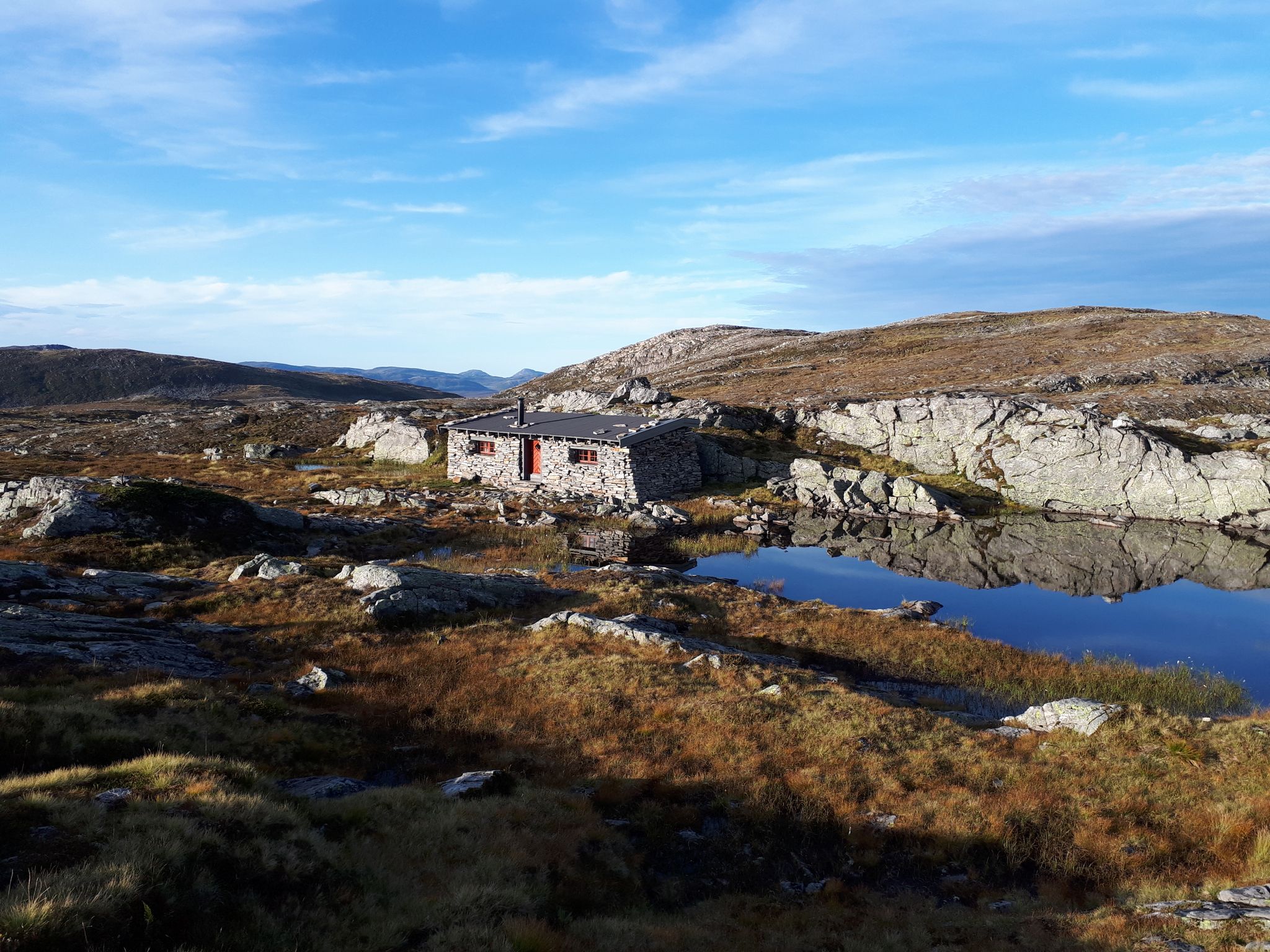
하늘, 바다, 피오르 그리고 산맥이 만나는 곳 - SignaTUR Fjordruta
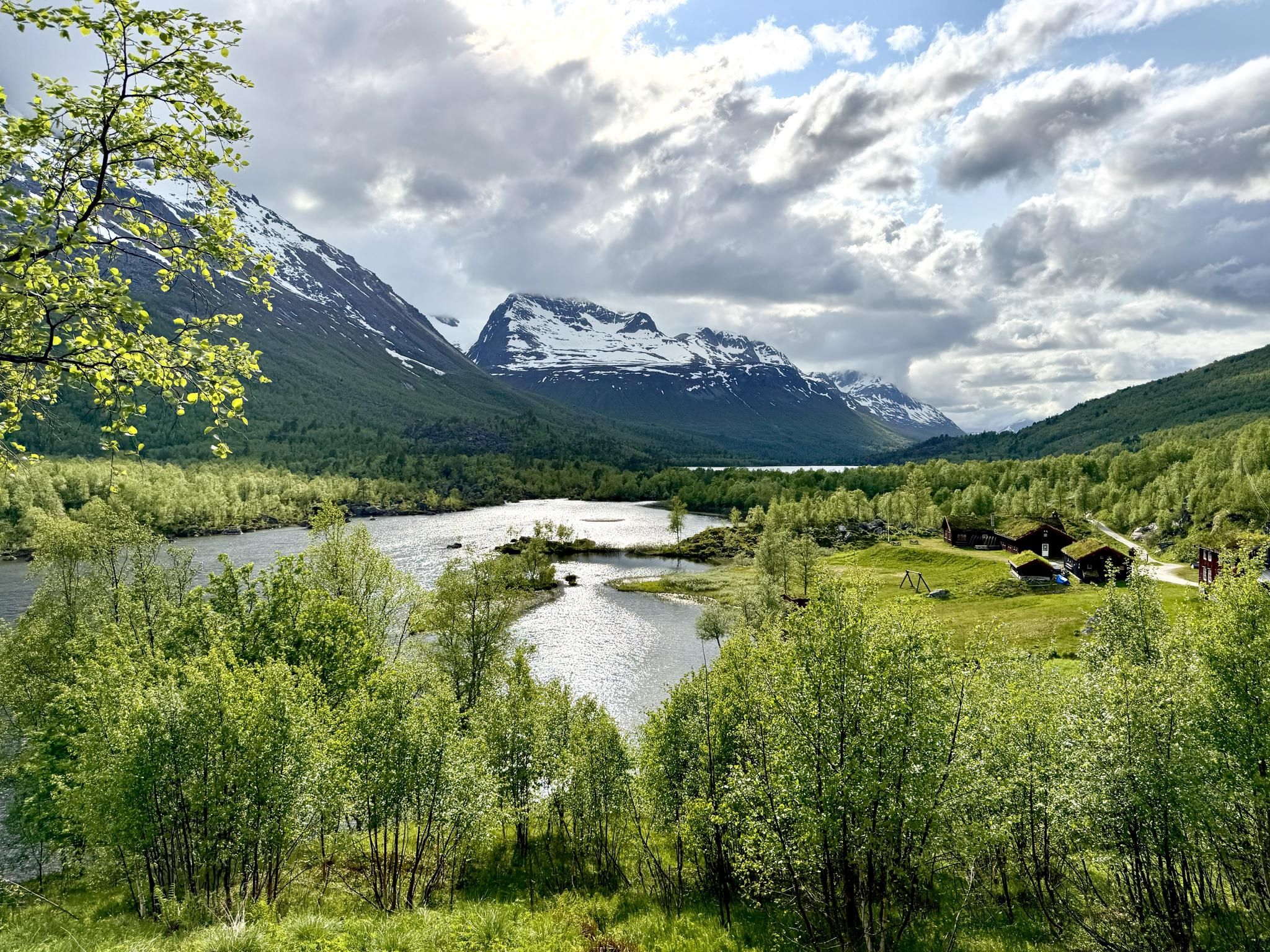
산악 지역인 ‘트롤의 고향’ – SignaTUR Trollheimen을(를) 발견하세요
요툰헤이멘 산맥의 다른 모험


커뮤니티 팁

Up here, there are at least two bunkers (larger than one room) that can be explored. It's best to bring a good flashlight and wear proper footwear. There's sometimes a bit of water. Access is also possible for people of average build.
4
0

Breathtaking and impressive views of the surrounding mountains and fjords. Simply magnificent!
2
0

Perched dramatically 700 meters above Lake Ringedalsvatnet in Norway, Trolltunga, or "Troll's Tongue," is a breathtaking rock formation that juts horizontally out of the mountainside. This iconic destination rewards adventurous hikers with unparalleled panoramic views of the stunning Hardangerfjord region. The challenging trek to reach Trolltunga winds through diverse terrain, including rocky paths, lush vegetation, and alongside cascading waterfalls, making it an unforgettable experience for those who dare to undertake it. Here are five tips for traveling to Trolltunga: * Prepare for a long and strenuous hike: The roundtrip hike to Trolltunga is approximately 28 kilometers (17 miles) and can take 10-12 hours, with significant elevation gain. Ensure you are in good physical condition and train beforehand. * Start early in the morning: To avoid hiking in the dark and to have ample time, begin your trek as early as possible, especially during shorter daylight hours. Check sunrise and sunset times before you go. * Wear appropriate hiking gear: Sturdy hiking boots with ankle support are essential. Dress in layers as weather conditions in the mountains can change rapidly. Bring waterproof and windproof outerwear. * Pack sufficient food, water, and navigation tools: Carry plenty of high-energy snacks and at least 3-4 liters of water per person. Bring a map, compass, or GPS device, and ensure you know how to use them. While the trail is generally well-marked, it's crucial to be prepared. * Check the weather forecast and trail conditions: Before your hike, thoroughly check the weather forecast for the area. Be aware of potential hazards and trail closures due to weather or other factors. Mountain weather can be unpredictable, so be prepared for changes.
3
0

A popular and straightforward route that features a hefty amount of elevation gain. However, two rewards await you at the summit. First, there are the magnificent views of the mountains of the mountains of Telemark, Buskerud, and the Oslomarka. Second, there's the thrilling run back down.
0
0

Beautiful climb and surroundings. Magnificent view when there is no cloud.
1
0

In summer for running and in winter with the spectacular track. Both are great fun
1
0
The waffles are delicious. In the summer you can walk up and down, of course, and in the winter a ride on the train is very exciting!
1
0

I went down there on alpine skis once. Such a wonderful experience!!
1
0
요툰헤이멘 산맥에서 가장 인기 있는 경로


더 살펴보기
이 가이드를 통해 요툰헤이멘 산맥의 더 놀라운 정상들을 확인해보세요:
