군주에서 가장 멋진 20개의 산 정상
리에에는 아르덴 산괴와 고원 지대가 특징인 풍경 속에 최고의 산봉우리들이 있습니다. 이 지역은 고도와 자연적 특징으로 인해 주목할 만한 여러 높은 지점을 제공합니다. 리에는 독특한 황무지 지역, 숲, 강으로 알려진 다양한 야외 경험과 독특한 자연 환경을 제공합니다. 이 지역의 높은 지점들은 파노라마 전망과 광범위한 하이킹 기회를 제공합니다.
리에의 최고의 산봉우리들
- 가장 인기 있는 산봉우리는 벨기에 최고봉인 Baltia Hill – Highest Point of Belgium으로, 해발 694미터에 달하는 벨기에 최고 지점입니다. 이곳은 고원 지대로 향하는 투어의 시작점이 됩니다.
- 또 다른 꼭…
마지막 업데이트: 10월 4, 2026
바알저베르크 삼국경계점
하이라이트 • 기념물
번역자 Google •
팁에 의해

발티아 언덕 – 벨기에의 최고점
하이라이트 • 정상
번역자 Google •
팁에 의해

이런 장소를 발견하려면 지금 가입하세요
최고의 싱글 트랙, 봉우리 및 다양한 흥미로운 야외 장소에 대한 추천을 받아보세요.

Vaalserberg 오르막 (Route des Trois Bornes 경유)
하이라이트 (구간) • 등반
번역자 Google •
팁에 의해

네덜란드에서 시작하는 팔서베르크 오르막
하이라이트 (구간) • 등반
번역자 Google •
팁에 의해

관측 벙커 MN18 및 크누펠스톡 안내 테이블
하이라이트 • 역사적 장소
번역자 Google •
팁에 의해
하켄베르흐 - 252m
하이라이트 • 정상
번역자 Google •
팁에 의해
시그날 드 보트랑주 – 벨기에의 최고점
하이라이트 • 정상
번역자 Google •
팁에 의해

콜 뒤 로지에 동쪽 오르막
하이라이트 (구간) • 등반
번역자 Google •
팁에 의해

스텔링 정상 (658 m)
하이라이트 • 정상
번역자 Google •
팁에 의해
무료로 가입하여 군주의 더 많은 봉우리를 발견하세요.
이미 komoot 계정이 있나요?
오늘 무료 계정으로 시작하세요
다음 모험이 기다리고 있어요.
군주 주변 인기 장소

플랑드르에서 아르덴까지 — 벨기에 GR 5
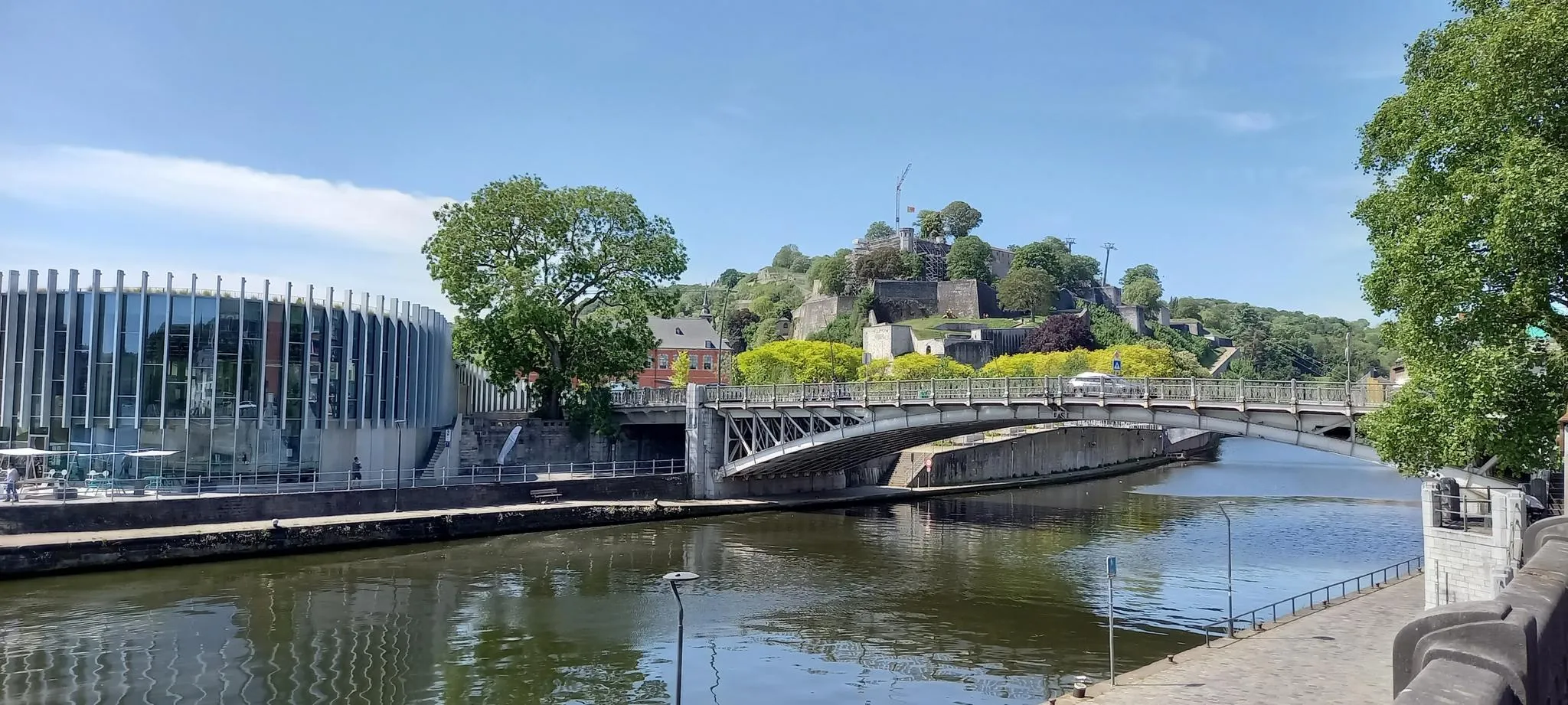
유로벨로 3 - 벨기에 중심부의 모험
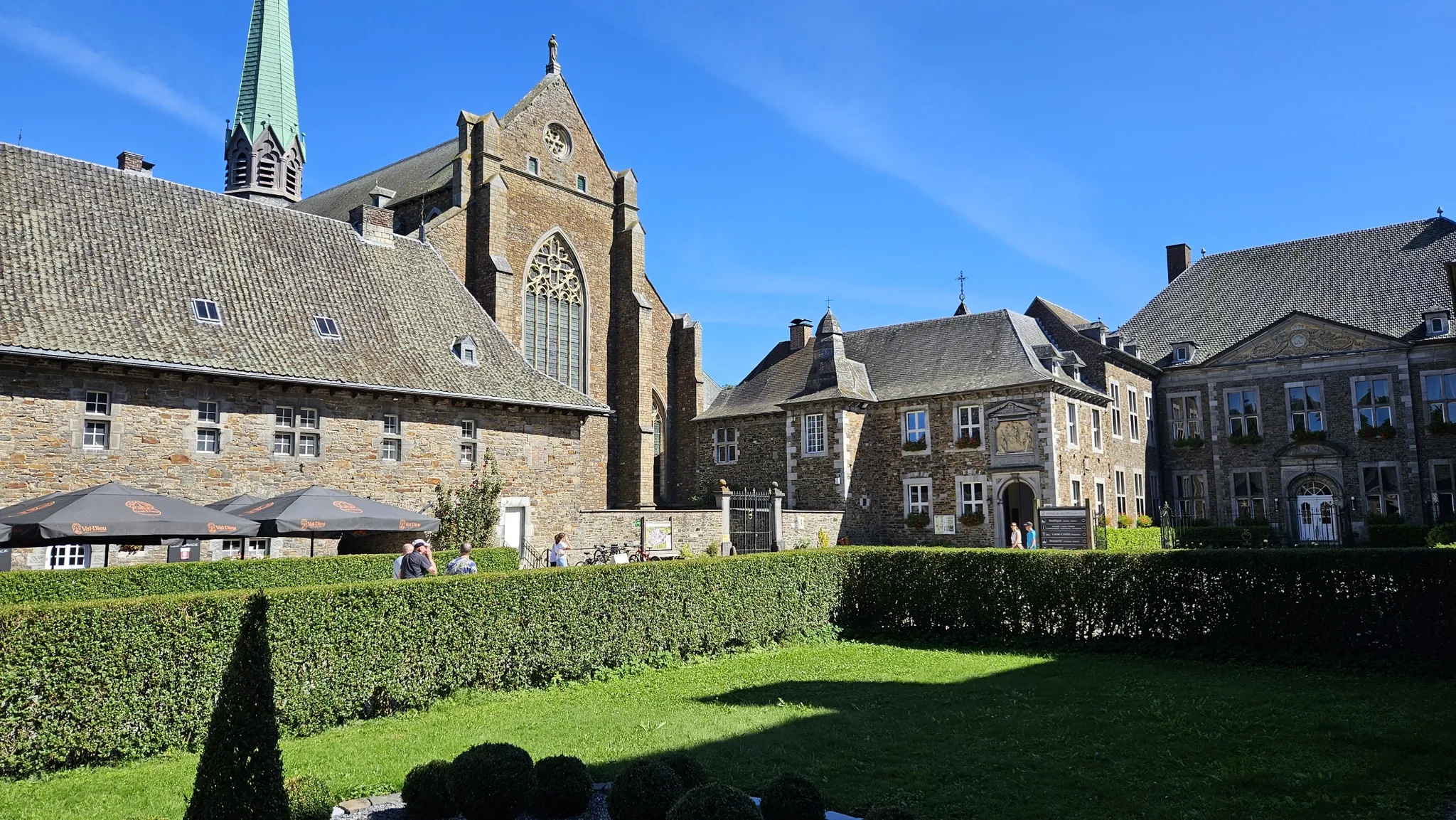
Entre bières et patrimoine — Véloroute des abbayes trappistes
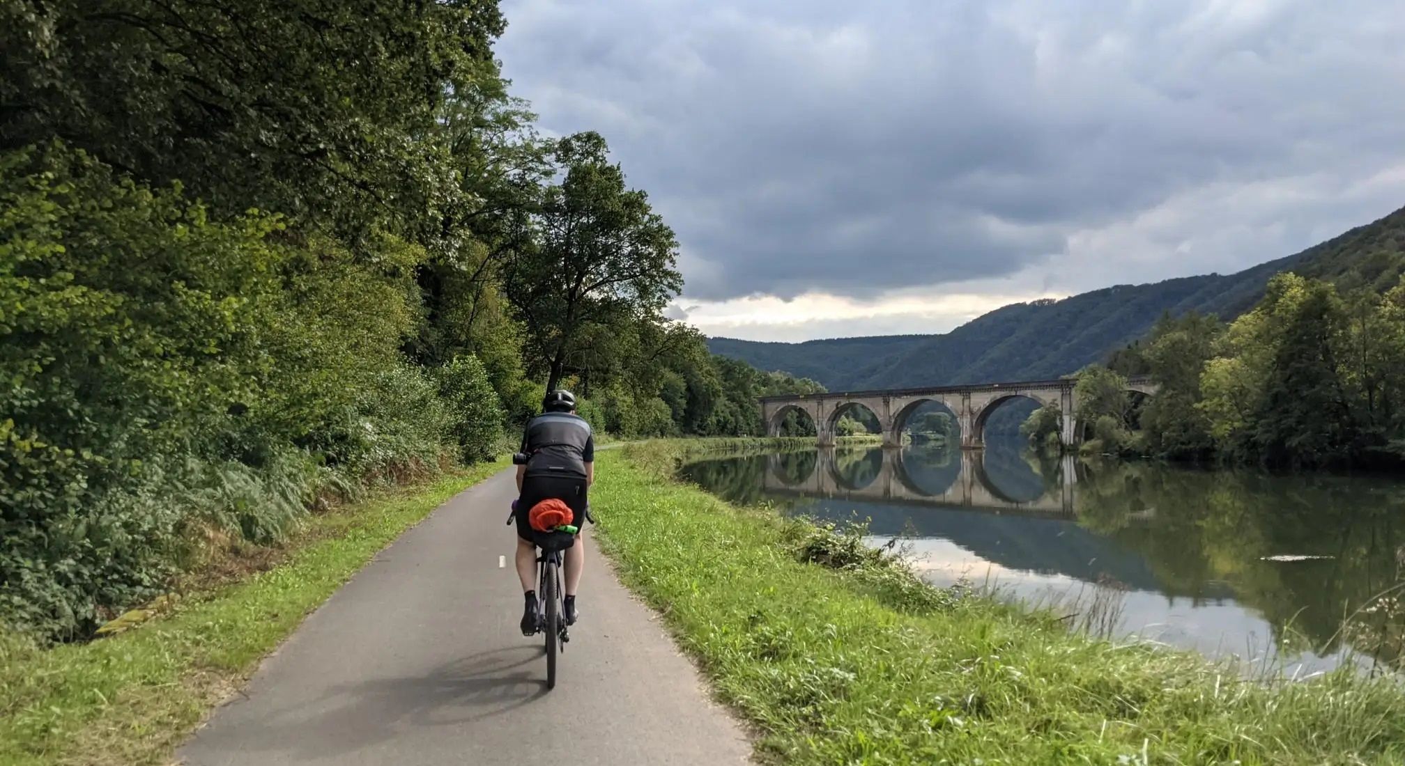
아르덴 - 뮌세 샹파느 - 아헨에서 뢰멧까지
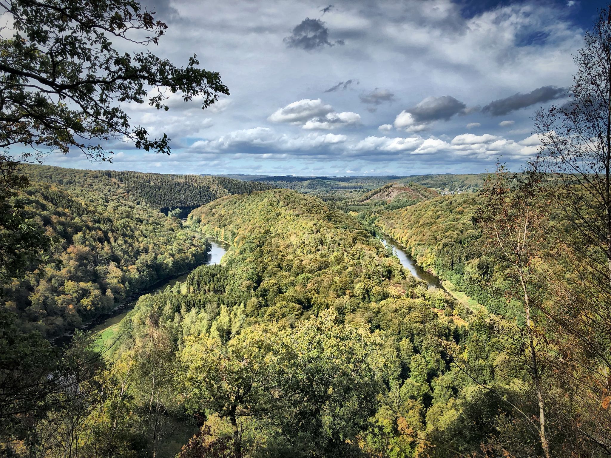
부바랑드아이시 일력 않음드 상이 없습니다
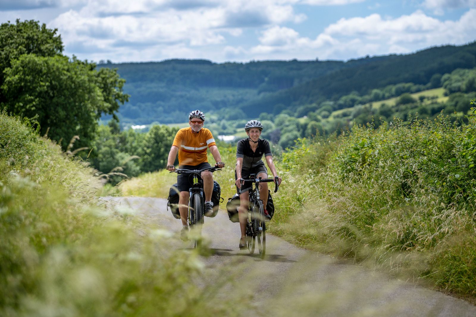
The most beautiful bike rides in Wallonia – pure nature and culture
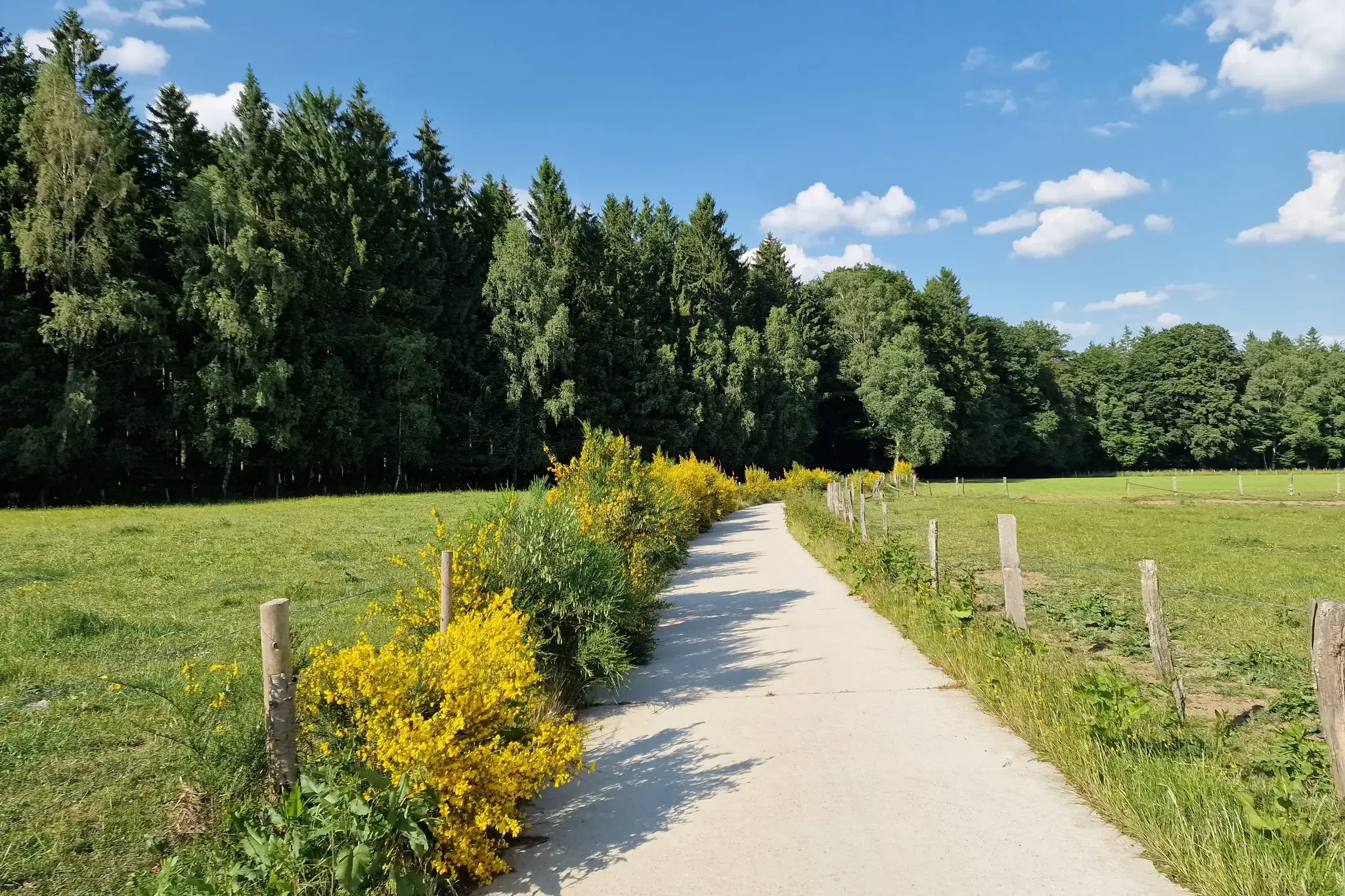
RAVeL W7 — 아르덴의 길
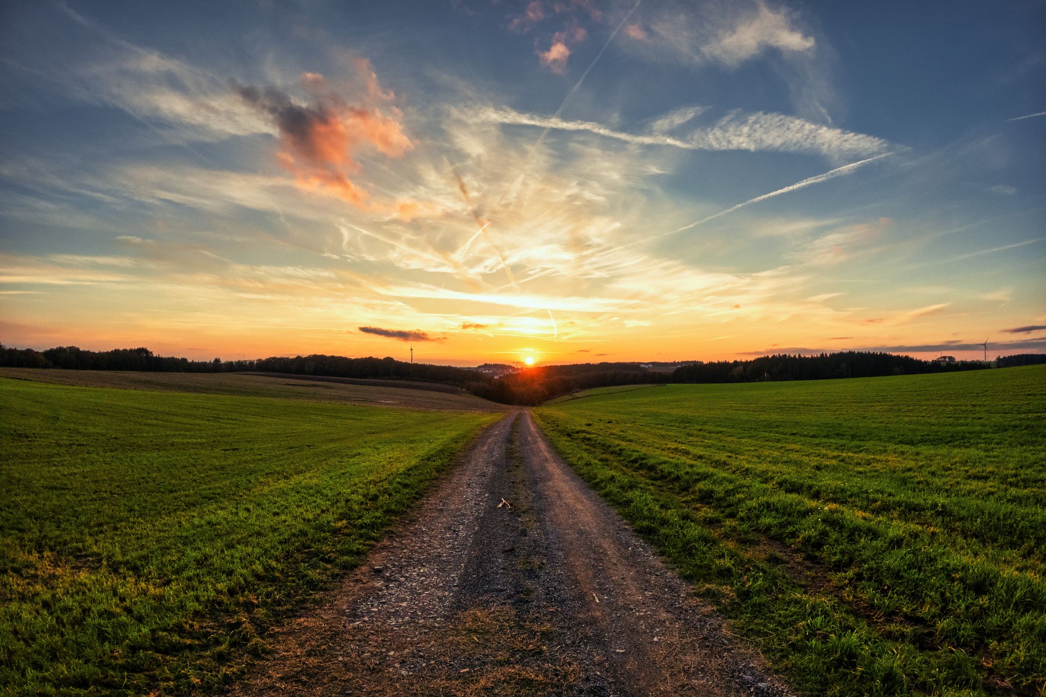
레지스트 앤 라이드의 하덴네 그래블 투어 - 700킬로미터의 비포장 모험
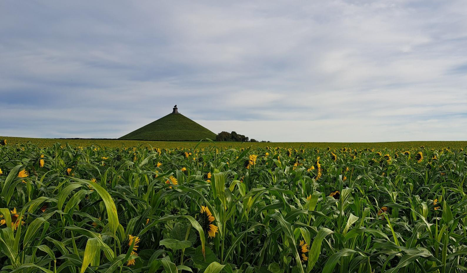
동쪽에서 서쪽으로 횡단 — 그레이블로 Wallonie
GR 2 de Verviers à Orval — La belle Ardenne en gravel
군주의 다른 모험


커뮤니티 팁


The MN18 Observation Bunker is part of the first line of defense of the Position Fortifiée de Liège (PFL), a network of bunkers built in the 1930s to defend Belgium against a German invasion. MN18 was the 18th bunker in the Margarins-Neufchâteau sector and equipped with an FM turret, recognizable by its tapered shape. During the German attack in May 1940, the bunker was destroyed by a 50 kg shaped charge placed on top of the turret, just where the periscope was located. The damage is still visible, making MN18 a tangible reminder of World War II. Right next to the bunker is the Knuppelstock orientation table, an impressive work of blue limestone with a diameter of 1.5 meters and weighing approximately one ton. The relief of the surrounding landscape is engraved on it based on data from the National Geographic Institute, with bronze details indicating the visible points. The table is also accessible for the visually impaired thanks to its tactile elements. The project, carried out by local organizations such as Qualité-Village-Wallonie and the municipality of Aubel, is unique in Belgium.
11
0

At this point, history and landscape converge. The MN18 observation bunker, a silent witness to the Second World War, still stands as a reminder of a turbulent period. From the bunker, you also have a unique view of the surrounding hilly landscape. Next to the bunker is the Knuppelstock orientation table, a platform that indicates the names and directions of villages, hills, and landmarks in the area. It's an ideal spot to get to know the region better and to enjoy a panoramic view of the border area between the Netherlands and Belgium.
4
0
The Hakkenberg is one of the higher points in the Limburg hills, at an altitude of 252 meters. From here, you have a beautiful view of the surrounding rolling fields, forests, and villages that reflect the character of South Limburg.
2
0

nice goal 3 countries point! coffee and on
2
0

This is called 'the climb' from the Netherlands, but this segment on Komoot is in the direction of descent. Not a big deal, but you should see it when you are creating a route.
3
0

Yes, another one that you must have done in South Limburg
3
0

The highest point in the Netherlands coincides with the three-country point and is an important tourist attraction.
21
0


