오스트로비코 호수 주변 최고의 그래블 라이딩 코스
4.4
(26)
38
자전거 타는 사람
8
라이딩
오스트로비코 호수 주변의 엄선된 그래블 라이딩 코스에서 거친 라이딩의 매력을 경험하세요. 도전정신을 자극하는 업힐 코스이든 아름다운 풍경 트레일이든, 오스트로비코 호수 주변 최고의 그래블 라이딩 경로를 살펴보세요.
마지막 업데이트: 8월 20, 2026
5.0
(20)
9
자전거 타는 사람
23.1km
01:46
210m
210m
보통 자갈길 타기. 좋은 체력 필요. 대부분 포장된 지면. 실력과 관계없이 누구나 갈 수 있음.
4.7
(3)
24
자전거 타는 사람
43.2km
03:11
400m
400m
어려운 자갈길 타기. 좋은 체력 필요. 투어 중 자전거를 끌고 가야 하는 구간이 있을 수 있음.

무료 회원 가입
4.8
(6)
5
자전거 타는 사람
36.8km
02:17
160m
160m
보통 자갈길 타기. 좋은 체력 필요. 대부분 포장된 지면. 실력과 관계없이 누구나 갈 수 있음.
5.0
(1)
4
자전거 타는 사람
21.0km
01:18
140m
140m
초급용 그래블 라이딩. 모든 체력 수준에 적합. 대부분 포장된 지면. 실력과 관계없이 누구나 갈 수 있음.
2
자전거 타는 사람
16.1km
01:07
160m
150m
보통 자갈길 타기. 좋은 체력 필요. 대부분 포장된 지면. 실력과 관계없이 누구나 갈 수 있음.
더 다양한 경로와 다른 탐험가들의 추천을 살펴보세요.
무료 회원 가입
이미 komoot 계정이 있나요?
투어 추천은 다른 사람들이 komoot에서 완료한 수천 개의 활동을 바탕으로 구성되어 있습니다.
오늘 무료 계정으로 시작하세요
다음 모험이 기다리고 있어요.
로그인 또는 가입하기

커뮤니티 팁

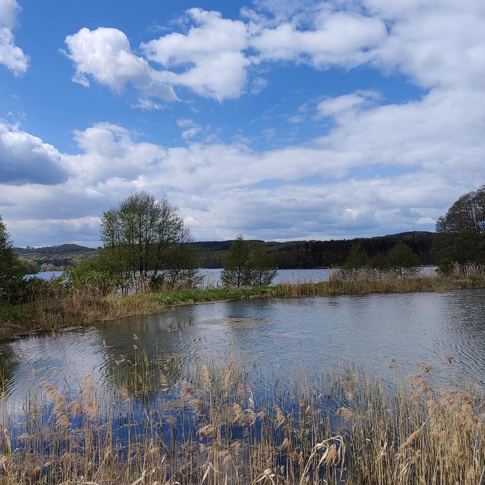
이곳은 주차하기 좋고 등산로를 시작하기 좋습니다. 밤새 머무르는 것도 가능할 것 같습니다. 호수에는 작은 낚시 장소가 많습니다. 일부는 부두가 있거나 (일부는 고장남) 없기도 합니다. 여름에는 진드기와 사슴파리가 매우 많습니다.
0
0

wooden bridge over the stream to Lake Lubniewsko
1
0

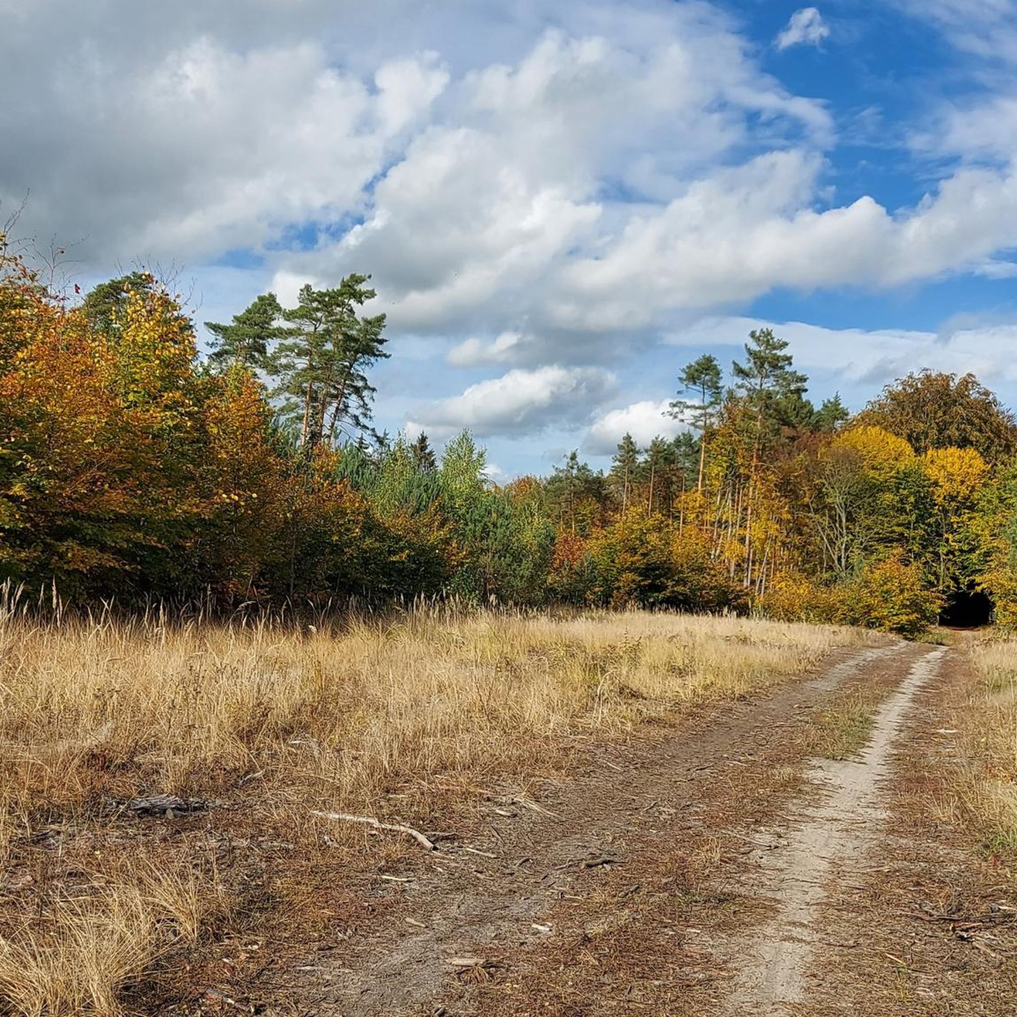
This is one of the official bike trails, marked in blue. Unfortunately, from time to time, forests are cut down along the trail. They are associated with thoughtless devastation by running over the trail with heavy tractors with semi-trailers carrying cut trees. Such deep ruts with mud are created that one does not want to ride on such a trail - shame. In addition, branches from cut trees are sawn off in an equally thoughtless way in the middle of the trail. Not somewhere nearby, but on the road - this is total ignorance. This causes splinters of various sizes and sharp wooden cuttings to be scattered on the trail, which pose a threat to bicycle tires - they can be easily punctured. In my opinion, it is a scandal that official bike trails, which the Sulęcin commune and district were once proud of, are treated in this way. This does not only apply to this particular trail, but unfortunately to most in the region. These are the consequences of thoughtlessness on the part of the local forest management. I don't think that the fact of cutting down the forest would obviously generate devastation of the entire area, including tourist trails, and actually pose a threat to tourists. And I am convinced that this would not happen if those responsible for this procedure thought a little - at least once.
3
0

Neo-Romanesque church from 1773. It has rich furnishings, which include: an altar from the first half of the 17th century (contains elements of an older Gothic one from the 15th century – a pentaptych); a wooden crucifix (from around the mid-19th century); a chest mensa, made of brick; a wooden, hexagonal baptismal font from the end of the 18th century (topped with a tin baptismal bowl from 1681) and a bronze bell from the 19th century. Currently, it is a Roman Catholic church dedicated to St. Anthony.
1
0
The House of the Saint John is the building with the oldest history in the city. The first mention of it dates back to 1351. The current building is much younger. It was built at the turn of the 18th and 19th centuries on the foundations of an earlier half-timbered building. After the secularization of the Saint John order in 1810, the building passed into state hands. It served residential purposes, and after 1945 it housed municipal apartments. In 1978, the building was abandoned and fell into ruin. In 2008, the building underwent a major renovation, which significantly changed its appearance. Currently, it houses the Centre for Polish-German Cooperation.
0
0
A preserved fragment of the defensive walls of Sulęcin. The construction of the city's fortifications began in 1491. The 1,400-meter-long wall was made of field stones and bricks. There used to be two gates: from the south, you could enter through the Ostrowska Gate, while from the north through the Mill Gate. Only two fragments of the city walls with a total length of about 200 meters have survived to this day.
0
0
The old town square in Sulęcin. The town hall is missing, as it was burned by the Russians at the end of the war and then dismantled to take the bricks to Warsaw. The Fountain of Good Neighbourhood now stands on the site of the town hall.
0
0
In the 1990s, a Polish-German agreement on cooperation between border municipalities was signed in Sulęcin. As part of the efforts to achieve reconciliation, the Fountain of Good Neighbourhood was created in the market square in Sulęcin. It was built with the support of the Phare fund and the residents of Beeskow, and the author of the figures is the Gorzów sculptor Zofia Bilińska.
0
0


더 살펴보기
다른 지역의 최고의 그래블 라이딩를 살펴보세요.
