보그 주변 최고의 그래블 라이딩 코스
3.6
(8)
28
자전거 타는 사람
4
라이딩
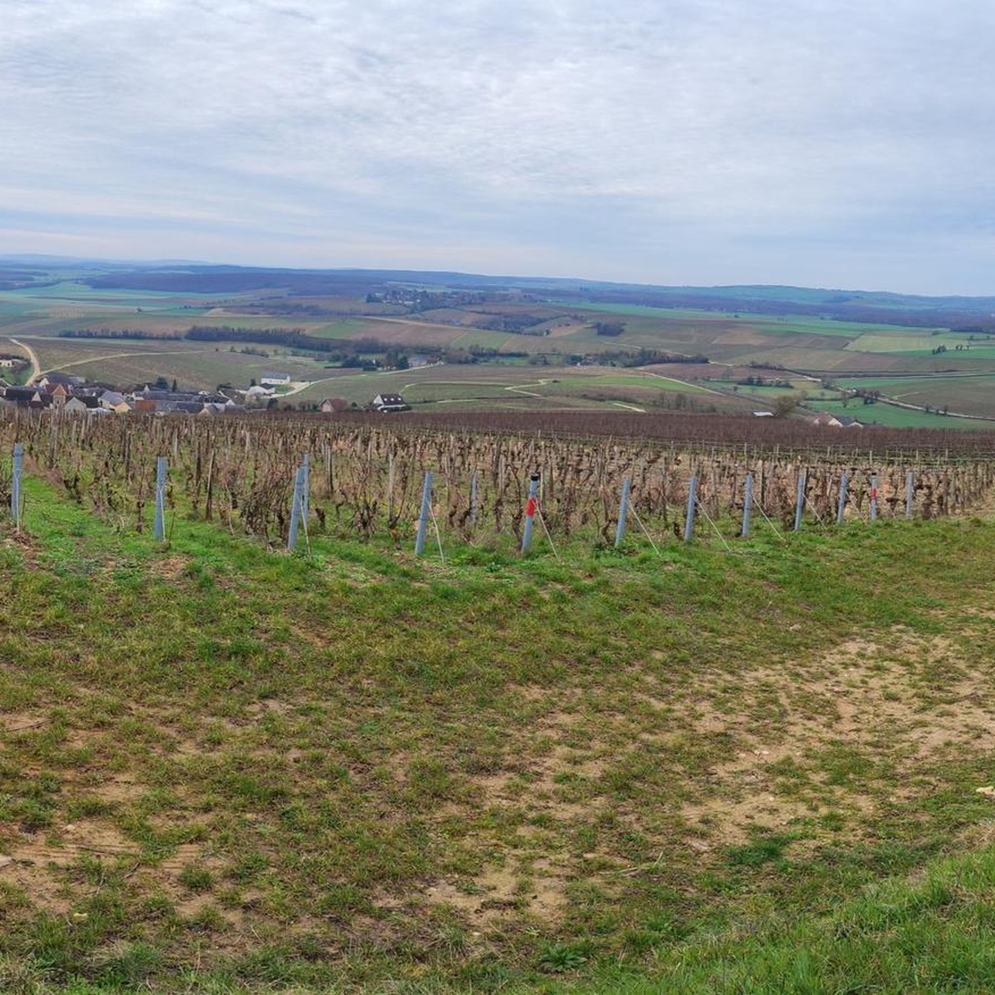
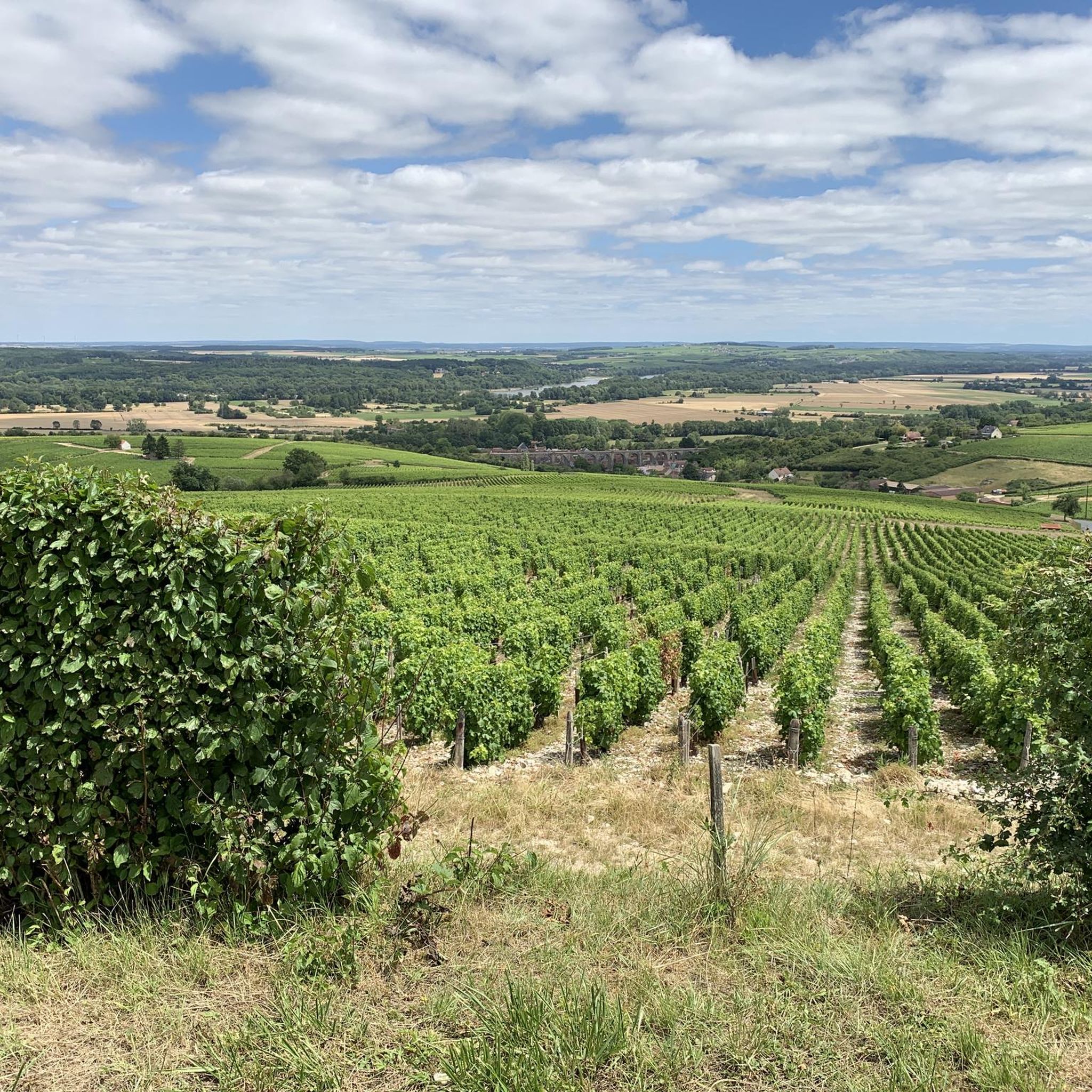
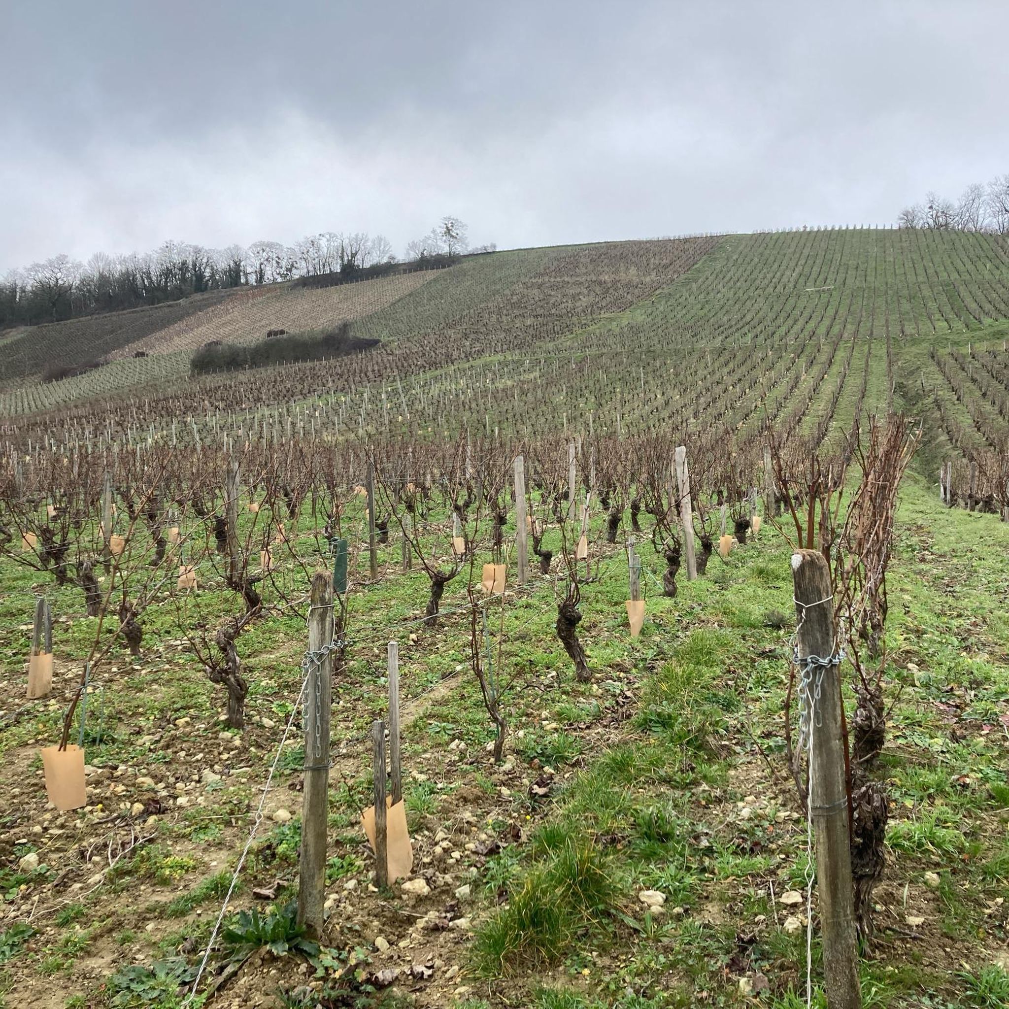
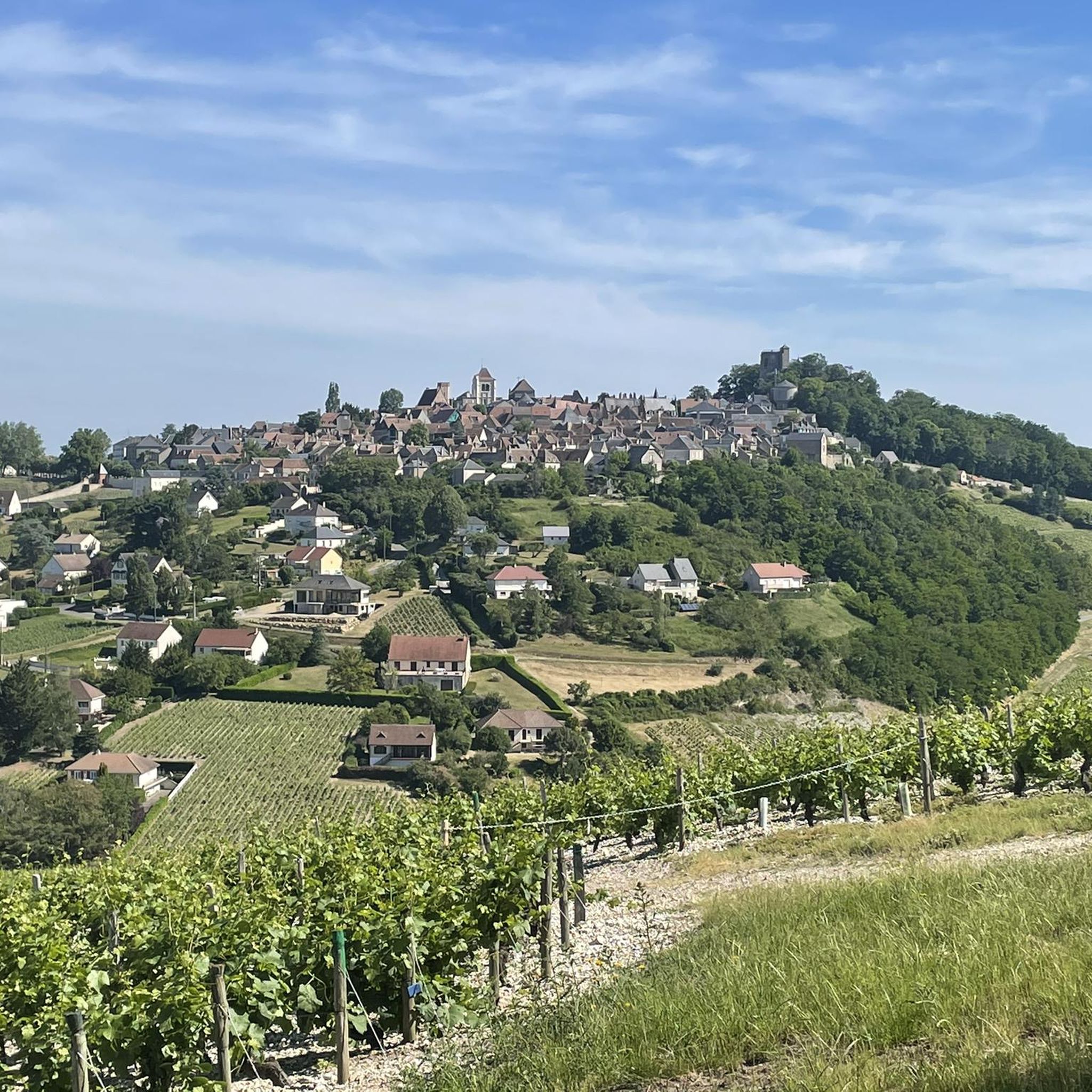
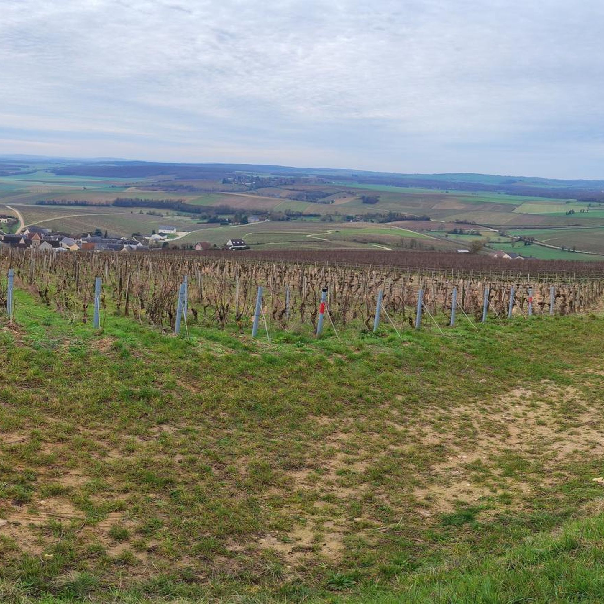
그래블 바이크를 타고 Veaugues 주변을 달리는 것은 Sancerrois, Champagne Berrichonne, Pays-Fort 지역의 교차점에 위치하여 다양한 지형을 제공합니다. 이 지역은 언덕이 많고 구불구불한 지형, 광활한 숲, 곡물 평원을 내려다보는 나무가 우거진 언덕, 그리고 많은 경사면에 펼쳐진 포도밭이 혼합된 풍경을 특징으로 합니다. 이 지역의 지질은 석회암과 점토-석회암 토양으로 구성되어 있어 다양한 기술 수준에 적합한 트레일 네트워크를 지원합니다. 운하 길, 포도밭 오르막길, 강 계곡 경로는 그래블 바이크 경험을 정의합니다.
Veaugues 주변 최고의 그래블 바이크 트레일
- 가장 인기 있는 그래블 바이크 트레일은 Port of…
마지막 업데이트: 8월 27, 2026
4.7
(3)
13
자전거 타는 사람
44.0km
03:03
650m
650m
어려운 자갈길 타기. 우수한 체력 필요. 대부분 포장된 지면. 실력과 관계없이 누구나 갈 수 있음.
4.0
(1)
6
자전거 타는 사람
34.4km
02:37
580m
580m
어려운 자갈길 타기. 우수한 체력 필요. 대부분 포장된 지면. 실력과 관계없이 누구나 갈 수 있음.

무료 회원 가입
1
자전거 타는 사람
41.3km
03:19
700m
700m
어려운 자갈길 타기. 우수한 체력 필요. 대부분 포장된 지면. 실력과 관계없이 누구나 갈 수 있음.
5
자전거 타는 사람
48.9km
03:19
700m
700m
어려운 자갈길 타기. 우수한 체력 필요. 대부분 포장된 지면. 실력과 관계없이 누구나 갈 수 있음.
2.5
(2)
2
자전거 타는 사람
20.0km
01:19
230m
230m
보통 자갈길 타기. 좋은 체력 필요. 대부분 포장된 지면. 실력과 관계없이 누구나 갈 수 있음.
투어 추천은 다른 사람들이 komoot에서 완료한 수천 개의 활동을 바탕으로 구성되어 있습니다.
오늘 무료 계정으로 시작하세요
다음 모험이 기다리고 있어요.
로그인 또는 가입하기
커뮤니티 팁

In the proverbial "good old days," this (former) windmill, prominently positioned on the hill and clearly visible from afar, must have made a profound impression on the viewer. However, this changed long ago: Only the ruined remains of the once proudly towering tower with its once sweeping wings remain as a sad testament to that bygone era. Today's visitors probably enjoy less the sight of the ruins than—at least in good weather—the beautiful view of the wide plains that unfold before them.
1
0

It's not uncommon to find a Monument aux Morts in the immediate vicinity of the local church, which here boasts a very defensive-looking facade – the church's two massive, round towers could easily be imagined as part of a castle's fortifications. These monuments, found in almost every town, still serve an important dual function in the 21st century: They keep the memory of the victims of war and tyranny alive and thus serve as a constant reminder of peace.
0
0
Rivers and canals crisscross the country, the latter in particular being a crucial part of the transport infrastructure in earlier times. Later, first rail, and later again trucks, took over the task of transporting goods. In the competition between different modes of transport, they were faster and cheaper than barges – and thus more efficient. When building the artificial waterways, however, it had to be taken into account that differences in elevation always had to be overcome, and so locks are often lined up along the canals – at varying intervals, depending on the local situation. Only with their help was shipping possible.
0
0
It is presumably a former "chemin de halage" (in German "treidelpfad" or "leinpfad"), which runs alongside the canal's bed. In earlier times, such a path was an essential part of the transport infrastructure. Before ships could be powered by motors, horses walked along the bank, pulling the boat against the current. This was called "treideln" (pulling), and this is how the towpaths got their name, which has been passed down to this day. Where these paths, which run close to the bank, have been preserved, they are popular with hikers, walkers, joggers, and cyclists.
1
0

The viaduct that connects Saint-Germain-du-Puy and Cosne is quite impressive. When you pass underneath it along the greenway, you'll realize the scale of the construction.
0
0

Excellent discovery. I'm not the best performer, but I enjoyed doing it. With technique, it should be a treat.
0
0
보그 주변에서 가장 인기 있는 명소


더 살펴보기
다른 지역의 최고의 그래블 라이딩를 살펴보세요.
