경로

플래너

기능

업데이트

App

로그인 또는 가입

앱 다운로드

로그인 또는 가입

경로
Places to see
Mountain passes
이탈리아
리구리아

제노바

제노바‬에서 가장 멋진 ‪20‬개의 산길

제노바에서 가장 멋진 산길을 아래에서 살펴보세요. 풍경을 감상하기에도 좋고, 오르막길/내리막길을 따라 걷기에도 좋은 곳이랍니다. 커뮤니티가 특별 도움을 통해 공유한 콘텐츠인 만큼 믿을 수 있는 정보이니 마음에 드는 산길이 있다면 바로 다음 모험 계획에 추가해서 바로 방문해보세요.

마지막 업데이트: 8월 6, 2026

파소 델라 보케타 (772m)

하이라이트 • 산악 고개

Easy climb with asphalt in good condition.

번역자 Google •

에 의해

라이딩 보기

휴대폰으로 전송

저장

투르키노 고개

하이라이트 • 산악 고개

Apennine pass between the municipalities of Mele and Masone, both in the province of Genoa, the Turchino is one of the symbolic climbs of the Milan-Sanremo. Since the 1950s, the climb has been asphalted and is no longer able to create selection among the runners in the race, but it is still the highest point of the Classicissima.

At the top of the Turchino, in addition to a memorial dedicated to Costante Girardengo, there is a tunnel redone in the 2000s. The Turchino is also known nationally for a singular idea proposed by a viewer of the program "Portobello", hosted at the end of the 1970s by the very famous Enzo Tortora. It consisted of knocking down the Turchino itself and this portion of the Apennines to open a passage between the sea and the Po Valley, thus presuming to solve the problem of the fog.

번역자 Google •

에 의해

저장

이런 장소를 발견하려면 지금 가입하세요

최고의 싱글 트랙, 봉우리 및 다양한 흥미로운 야외 장소에 대한 추천을 받아보세요.

무료 회원 가입

인치사 고개

하이라이트 • 산악 고개

Crossing point of the Alta Via dei Monti Liguri and starting point for excursions to the Penna and Aiona mountains.
The history of this place seems to be linked to the Latin term "incido," which means "cut." It is said that the Romans, tired of the resistance of the Ligurian tribes, decided to cut down the Apennine forests to weaken them. The Ligurians were masters of guerrilla warfare, while the Romans preferred the open field, and the removal of trees would have facilitated their strategy.

번역자 Google •

에 의해

저장

포르첼라 고개

하이라이트 • 산악 고개

The Passo della Forcella is a real pass from one side only. Coming from the coast begins the long climb at Borzonasca, passing through the entire Val Sturla in the wild Avetotal.
The climb is very gentle throughout and winds in countless curves to the pass. The wide road can be expected that here with a larger traffic volume is to be expected. But that is deceptive, only on weekends here is a little more motorized traffic on the way. Sunday trippers on the way to the beautiful hinterland.
The climb is worth not only because it is the easiest access to the lonely and rewarding hinterland of Liguria and nearby Emilia-Romagna. The pass offers just on the top kilometers also a fantastic view through the Val Sturla to the coast.

번역자 Google •

에 의해

저장

Casa del Romano

하이라이트 • 산악 고개

Location on the border between Liguria and Piedmont, not far from the summit of Monte Antola. Here you will find an excellent refuge and an astronomical observatory, not far from each other.

번역자 Google •

에 의해

저장

보코 고개

하이라이트 • 산악 고개

At Passo del Bocco it is possible to stop and have a coffee or even eat at the Devoto refuge. Then you can continue as well as for Varese Ligure as I did, also for Parma.

번역자 Google •

에 의해

저장

파소 델라 크로체타

하이라이트 • 산악 고개

The climb from Coreglia is about six and a half kilometers long but has some of the toughest slopes in the area. It even reaches 16%. From Rapallo it is longer but much less difficult. The steeper slopes arrive only after the crossroads for the Montallegro Sanctuary, three kilometers from the summit.

번역자 Google •

에 의해

저장

파이알로 고개

하이라이트 • 산악 고개

The hill is located at an altitude of 1,044 m a.s.l. along the provincial road SP 73 which connects the Turchino pass with San Pietro d'Olba.

번역자 Google •

에 의해

저장

파소 델 비시아

하이라이트 • 산악 고개

The Passo del Biscia (Nattern Pass) is a very small pass at an altitude of 892 meters that connects the large Vara valley with the Ligurian coast.
Both sides of the pass are very scenic and near the top of the pass you have a wonderful view of the Tigullian Gulf. Unfortunately, the side into the Varatal (which flows south of La Spezia into the Ligurian Sea) is in a very bad condition, so that you can only recommend a ride on a racing bike from the Varatal to the coast with a clear conscience.
The long and very lonely driveway from the Vara valley runs very irregularly with short intermediate descents, while the side coming from the coast is two-lane and very regular over large parts. On this side there is a quarry, which brings some truck traffic with it and may explain the much better road condition.
At the top of the pass there are some very recommendable hikes that are also part of the Alta Via dei Monti Liguri.
The descent by racing bike towards the coast is highly recommended: speedy and winding on a good surface all the way down to Lavagna or Chiavari.

번역자 Google •

에 의해

저장

피아소 델 키오도

하이라이트 • 산악 고개

The pass connects the Aveto valley with the upper Taro valley and marks the border between Emilia Romagna and Liguria. Beautiful mountain environment rich in vegetation.

번역자 Google •

에 의해

저장

무료로 가입하여 제노바의 더 많은 산악 고개를 발견하세요.

무료 회원 가입

이미 komoot 계정이 있나요?

오늘 무료 계정으로 시작하세요

다음 모험이 기다리고 있어요.

로그인 또는 가입하기

제노바 주변 인기 장소

이탈리아 리비에라 변경 - 비아 델라 코스타를 따라 숨가쁜 하이킹
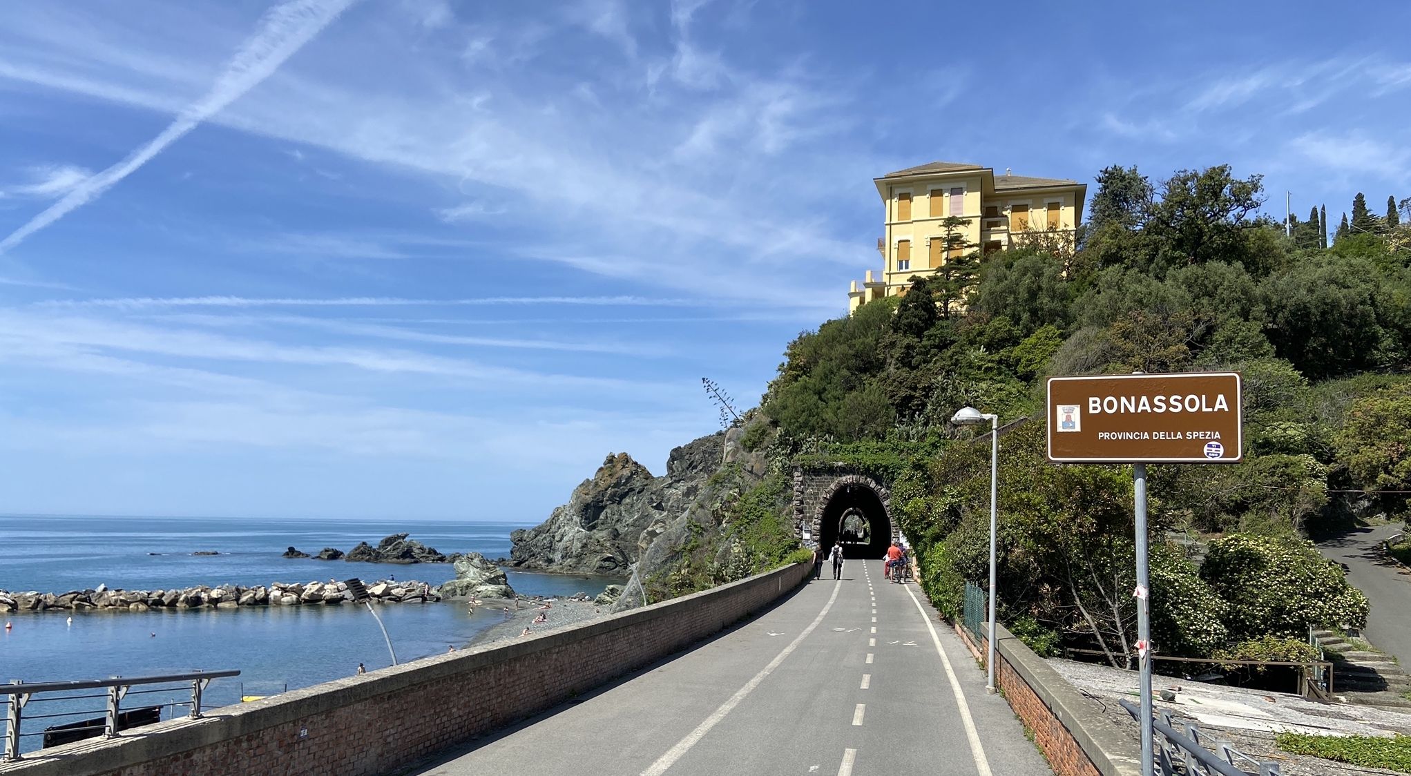
포르토피노 및 칵테레로 페달링 — 바다 및 산

용감한 사람만 - 중지해 주대 알타 비아 스테이지 레이스

나폴리에서 북극 펜 - 두 친구, 한 목적과 많은 아이스크림
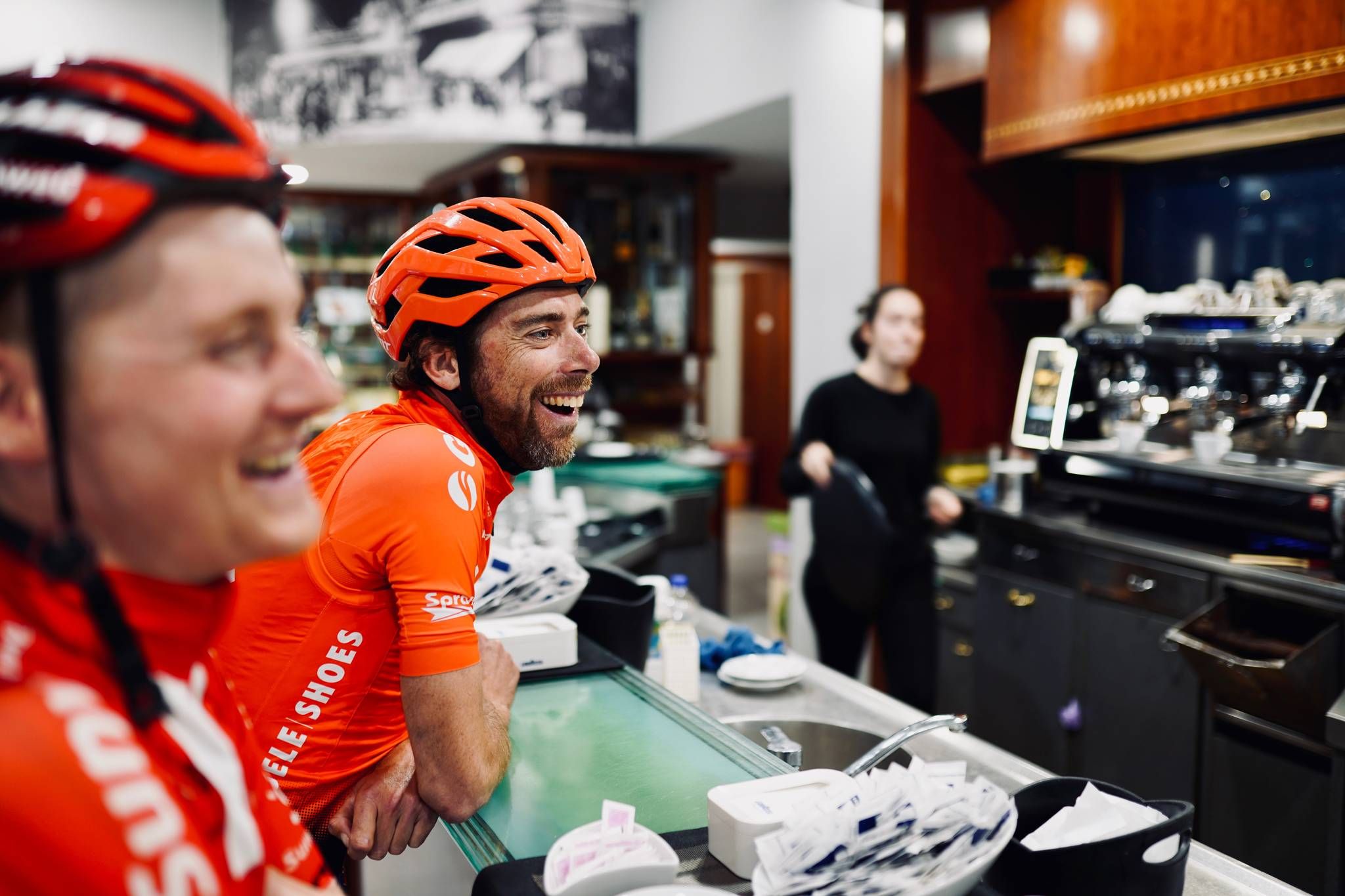
프로 자전거 경기에 이렇게 이별인사를 드리며 - 코모에서 레키까지 두 일 만에

Road to BAM! 2026 – Condividi la strada
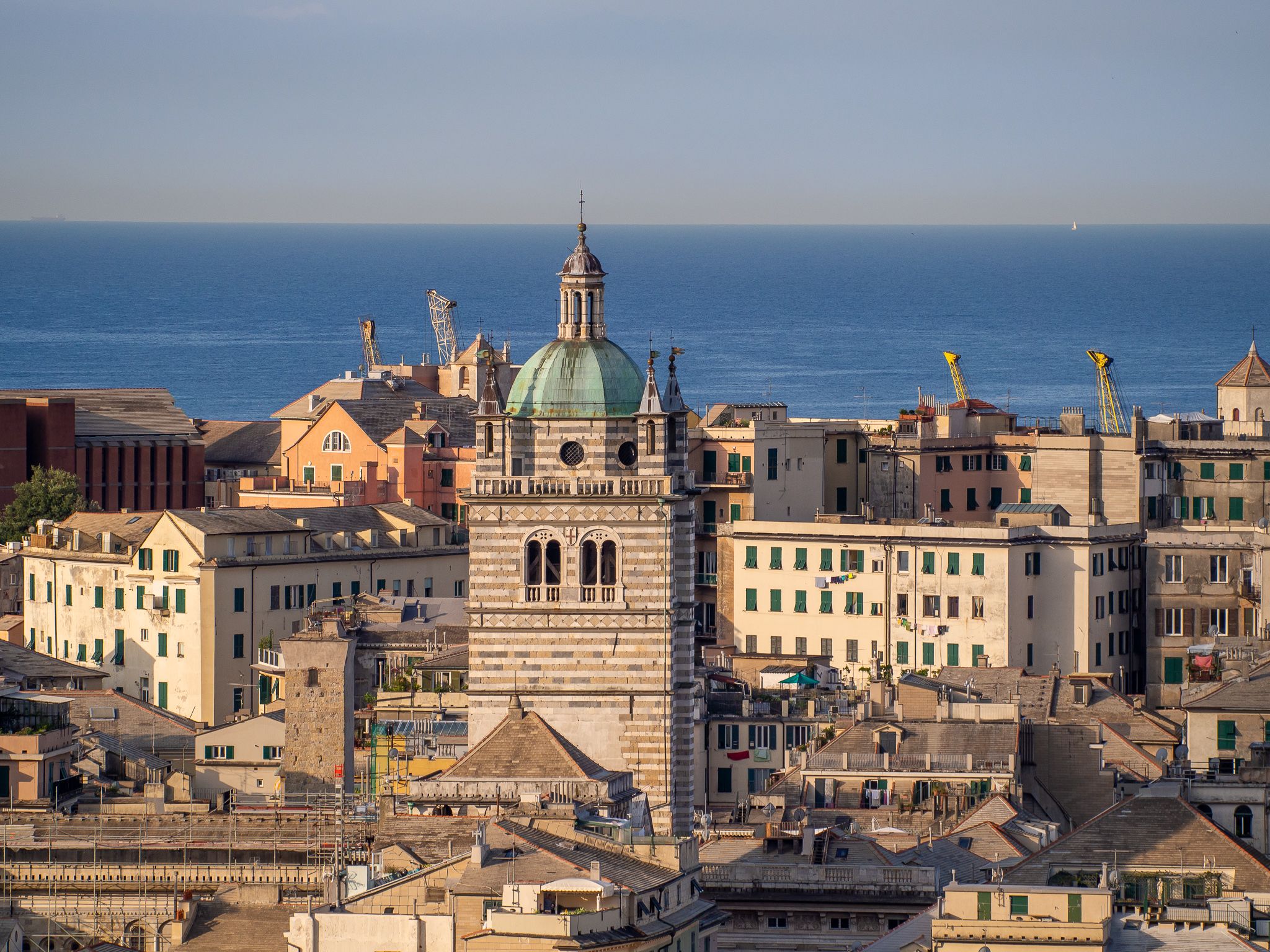
Urban Trekking in Genoa – the Anelli del Benessere

아페니느 자전거 길 (파트 1) - 리구리아에서 움브리아까지
미제이 대리스 일시 - 카로트리스이 아스
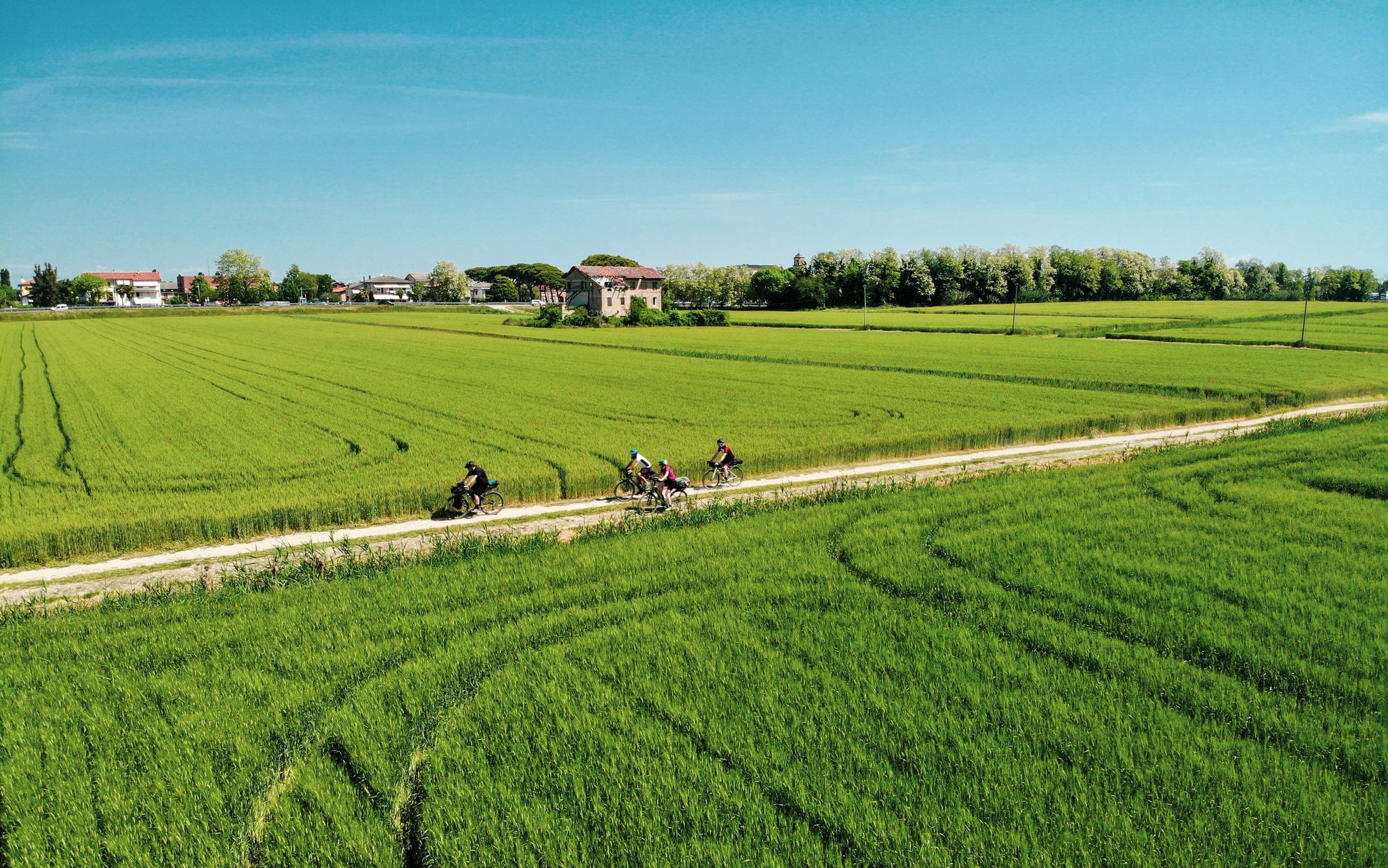
이탈리아 포 계곡을 타고 달리기 - 비아 포스툼이아의 순례

제노바의 다른 모험

이탈리아 리비에라 변경 - 비아 델라 코스타를 따라 숨가쁜 하이킹

하이킹 컬렉션 에 의해

Marika Abbà

커뮤니티 팁

Massimiliano Franceschini ⛰️🚵‍♀️
6월 7, 2026, Passo dell'Incisa

Bel valico dell'Appennino Ligure situato a 1.468 metri. Punto strategico che offre varie alternative per iniziare una passeggiata o una lunga escursione.

0

0

해발 1,452m에 위치한 아펜니노 리구레 고개는 자동차로 접근할 수 있으며, 다양한 하이킹 트레일이 갈라지는 교차로입니다.

번역: Google

0

0

라팔로와 포르토피노까지의 만까지 매우 아름다운 전망

번역: Google

0

0

Very nice place and the road to reach it is very panoramic.

번역: Google

0

0

beautiful, quiet pass with picnic area

번역: Google

0

0

Climbing from Cicagna (north side) and passing through the hamlet of Dezerega, the road is mostly paved, with sections reaching gradients of over 20%. You gain 500 meters of elevation gain in about 5 km. It's very shaded, and from the Crocetta Pass, Rapallo is just a short drive away.

번역: Google

0

0

Starting point for trekking.

번역: Google

18

0

Very convenient starting point for climbing Mount Reixa

번역: Google

0

0

제노바에서 가장 인기 있는 경로

제노바 하이킹

제노바에서 가장 인기 있는 명소

Places to see

Store rating

komoot 모바일 앱으로 영감을 받아보세요

무료 komoot 계정로 끝없는 야외 모험을 손쉽게 찾고, 맞춤 설정하며 길안내할 수 있어요.

또는

지금 komoot에 가입하세요

Store rating

찾고 계신 것을 찾지 못하셨나요?

제노바의 더 놀라운 산악 통과를 지역별로 찾아보세요:

크로체피에스키산토 스테파노 다베토로시카사비뇽카스틸리오네 치아바레세레비로시글리오네세라네시티글리에토아렌자노이솔라 델 칸토네카사르자 리구레레조알리오토리글리아몬테브루노바르갈리레코제노바미냐네고네이로네조아리모코네시라팔로파발레 디 말바로산 콜롬바노 체르테놀리프로파타코고르노소리카모글리보비아폰타니고르다캄포 리구레멜레모네글리아론코 스크리비아캄포모로네카라스코치아바리산올체세아베토 자연 지역 공원오레로발브레벤나코골레토코레글리아 리구레로베뇨메자네고산타 마르게리타 리구레볼리아스코세스트리 레반테아베뇨보르조나스카피에베 리구레다바냐부살라근막카셀라시카냐고레토몬토지오라바냐론다니나우시오트리보냐포르토피노루마르조메이슨세라 리코

더 살펴보기

이 가이드를 통해 더 많은 장대한 산악 통과를 확인해보세요 제노바:

근처 어드벤처 가이드

루마르조 즐길거리

background

새로운 정복을 위한 준비를 하세요

무료로 가입하기

탐험하기
경로경로 플래너기능바우처 사용하이킹MTB 트레일로드 사이클링 경로바이크패킹사이트맵
앱 다운로드
소셜 미디어에서 팔로우하기

© komoot GmbH

개인 정보 보호 정책