제노바 최고의 러닝 경로
4.4
(958)
35,771
달리기 하는 사람
980
러닝
제노바에서 하이킹하며 리구리아 구석 부분까지 살펴볼까요? 제노바에 있는 모든 하이킹 및 워킹 경로 컬렉션 중 가장 멋진 하이킹 경로를 엄선하여 소개해드릴게요. 다른 하이커가 공유한 실제 팁과 사진을 살펴보고 후기를 읽으며 마음에 드는 제노바 워킹 경로를 찾아보세요.
마지막 업데이트: 11월 6, 2026
4.8
(11)
132
달리기 하는 사람
6.79km
00:58
240m
240m
The Punta Manara Loop Trail offers a challenging jogging experience along the Ligurian coast, winding through lush Mediterranean vegetation. You will encounter olive groves and maritime pines, with spectacular coastal…
4.3
(4)
19
달리기 하는 사람
6.66km
00:43
90m
90m
Embark on the Genova city run, a moderate jogging loop that takes you through the heart of Genoa's iconic places. This 4.1-mile (6.7 km) route, with a gentle 296 feet…

5.0
(1)
15
달리기 하는 사람
13.4km
01:44
300m
300m
The Race tour around Lake Brugneto offers a moderate jogging experience through varied terrain, combining natural paths with some asphalt stretches. You will encounter several ups and downs, including a…
5.0
(1)
22
달리기 하는 사람
11.7km
01:36
360m
360m
Embark on a challenging jogging route from Casa del Romano to Monte Antola, covering 7.3 miles (11.7 km) with a significant 1173 feet (358 metres) of elevation gain. This difficult…
18
달리기 하는 사람
9.87km
01:40
570m
570m
This difficult jogging loop from Ronco Scrivia to Rifugio Monte Reale covers 6.1 miles (9.9 km) with a significant 1866 feet (569 metres) of elevation gain, typically taking 1 hour…
3.0
(1)
11
달리기 하는 사람
7.99km
01:07
360m
360m
The Monte Gazzo Loop offers a difficult jogging experience, covering 5.0 miles (8.0 km) with a significant elevation gain of 1196 feet (365 metres). You can expect to complete this…
12
달리기 하는 사람
13.5km
01:30
260m
260m
Embark on a moderate jogging loop through the scenic Antola Regional Natural Park, a route that spans 8.4 miles (13.5 km) with an elevation gain of 847 feet (258 metres).…
8
달리기 하는 사람
3.91km
00:26
90m
90m
Embark on the Panoramic run between Portofino and the Gulf of Tigullio for an accessible jogging experience along the stunning Ligurian coastline. This easy route offers continuous panoramic sea views,…
10
달리기 하는 사람
16.8km
02:59
940m
940m
Embark on a challenging jogging route from Torriglia to Monte Antola, a difficult 10.5-mile (16.8 km) journey with a significant 3088 feet (941 metres) of elevation gain. You will start…
10
달리기 하는 사람
18.3km
02:58
850m
850m
Prepare for a difficult jogging experience on the Monte Antola and Casa del Romano trail from Piancassina. This challenging route covers 11.4 miles (18.3 km) with a significant elevation gain…
더 다양한 경로와 다른 탐험가들의 추천을 살펴보세요.
이미 komoot 계정이 있나요?
투어 추천은 다른 사람들이 komoot에서 완료한 수천 개의 활동을 바탕으로 구성되어 있습니다.


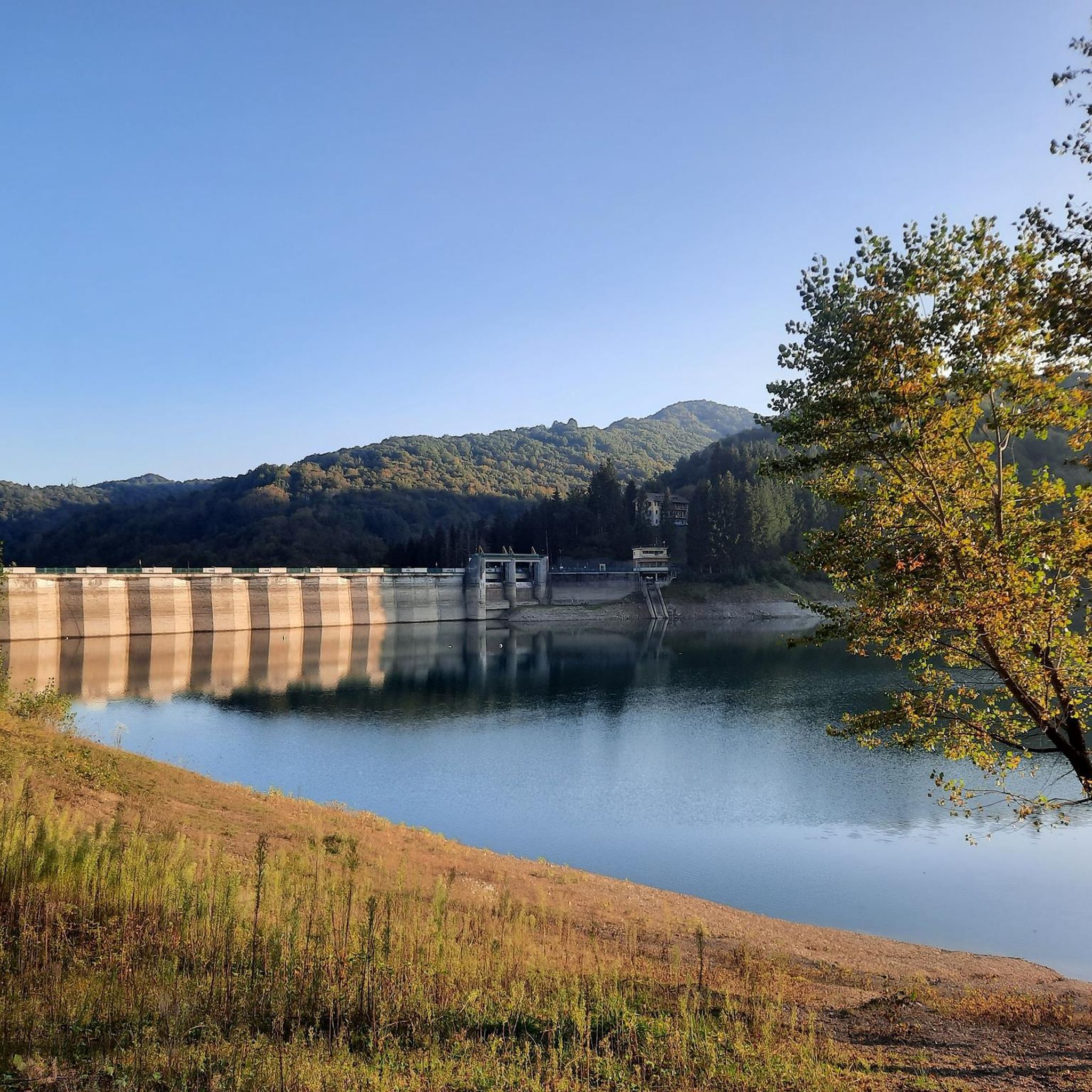



제노바의 다른 모험


커뮤니티 팁


우리의 출발점. 기차 연결이 좋지만, 안타깝게도 오후 8시면 모든 상점이 문을 닫습니다. 역에서도 먹을 것을 구할 수 없습니다.
0
0

숨 막힐 듯 아름다운 경치이지만 고소공포증이 있는 사람에게는 적합하지 않습니다
0
0

The first Genova Brignole station opened in 1868 as the terminus of the railway line from Chiavari, coming from the south. In 1872, the line was extended through the Traversata Tunnel to Genova Piazza Principe station, which thus became a through station instead of a terminus. The current station building was constructed between 1902 and 1905 in anticipation of a planned World's Fair. This fair, however, was ultimately held in Liège, Belgium. The station's architecture combines romantic Neo-Renaissance motifs with Neoclassical elements and is certainly very impressive. And indeed, a World's Fair did take place in Genoa in 1992, which hopefully attracted many visitors by train. More information: https://de.wikipedia.org/wiki/Bahnhof_Genova_Brignole
0
0

Genoa Cathedral captivates with its magnificent façade and exquisitely ornate interior. I highly recommend climbing the tower!
9
0
Genova Brignole station is one of Genoa's two main train stations and is located east of the city center. From here, trains depart to destinations including the popular Cinque Terre.
9
0


찾고 계신 것을 찾지 못하셨나요?
제노바에서 더 많은 러닝 트레일 & 경로를 확인하고 목적지에서 완벽한 경로를 찾아보세요.
