네에서 가장 멋진 20개의 산길
네에서 가장 멋진 산길을 아래에서 살펴보세요. 풍경을 감상하기에도 좋고, 오르막길/내리막길을 따라 걷기에도 좋은 곳이랍니다. 커뮤니티가 특별 도움을 통해 공유한 콘텐츠인 만큼 믿을 수 있는 정보이니 마음에 드는 산길이 있다면 바로 다음 모험 계획에 추가해서 바로 방문해보세요.
마지막 업데이트: 10월 13, 2026


이런 장소를 발견하려면 지금 가입하세요
최고의 싱글 트랙, 봉우리 및 다양한 흥미로운 야외 장소에 대한 추천을 받아보세요.
파소 델라 몰라 (해발 650m)
하이라이트 • 산악 고개
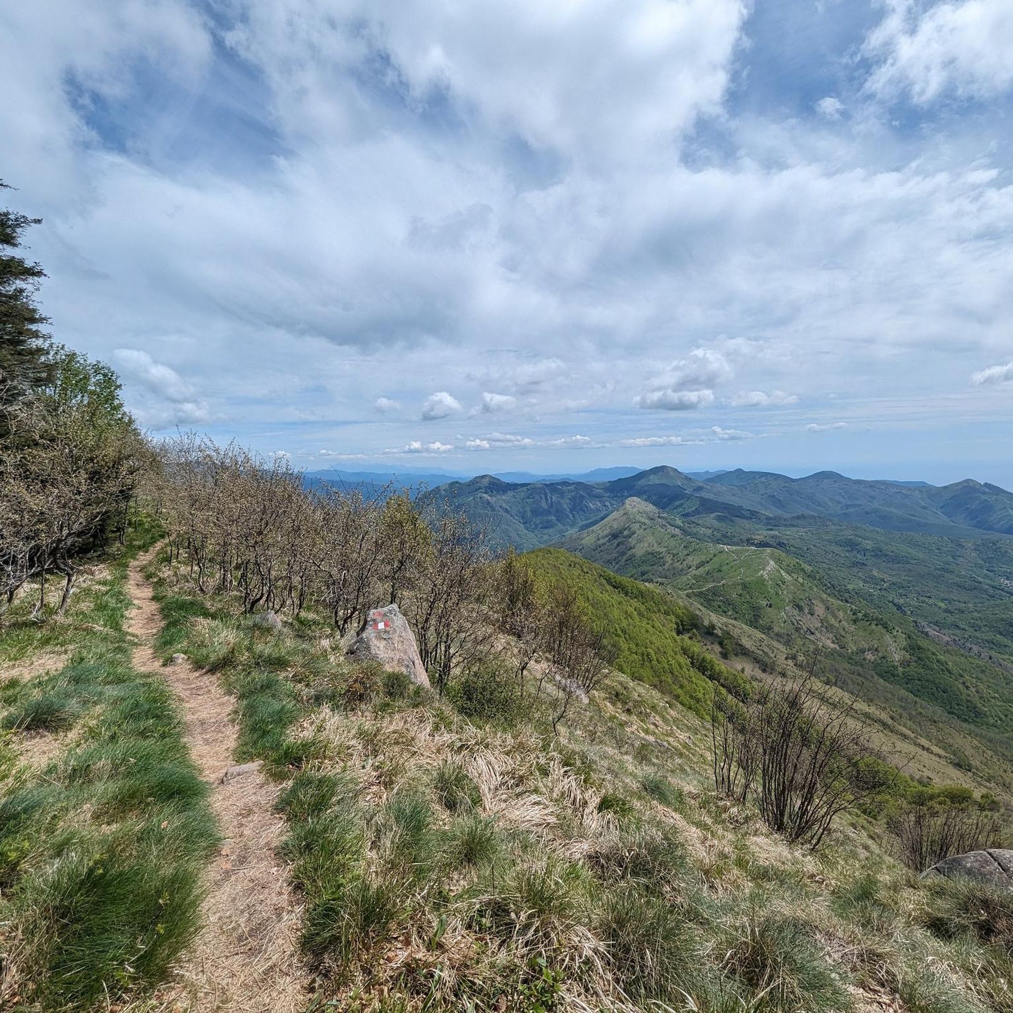
With good visibility you have a great view up …
번역자 Google •
팁에 의해

포치 델 루포 고개 (722m)
하이라이트 • 산악 고개
번역자 Google •
팁에 의해
무료로 가입하여 네 주변의 더 많은 산악 고개를 발견하세요.
이미 komoot 계정이 있나요?
오늘 무료 계정으로 시작하세요
다음 모험이 기다리고 있어요.


커뮤니티 팁

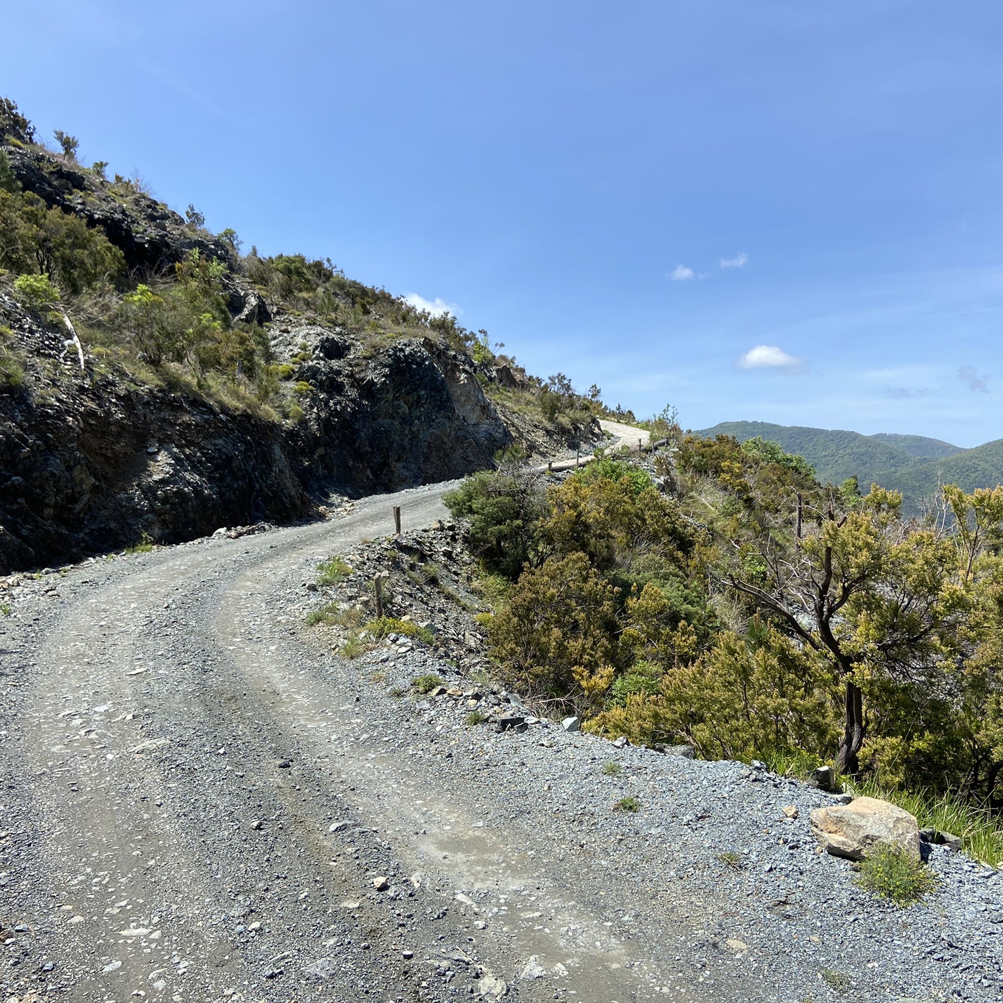
Il Passo della Mola (또는 Valico della Mola)는 해발 약 650-655미터에 위치한 산악 고개로, 리구리아에 있으며 라 스페치아현과 제노바 광역시 사이에 있습니다. 해안 지역과 발 디 바라(카로 코무네)를 연결합니다. 주요 특징 고도: 해발 650 - 655m 위치: 카로와 벨바 지역을 연결하며, 더 잘 알려진 브라코 고개(Passo del Bracco)의 대안 역할을 합니다. 도로: 프로빈셜 로드 50(SP50)을 통해 이동합니다. 도로는 좁은 차선, 일반적으로 완만한 경사, 하지만 여러 개의 커브와 좁은 헤어핀 커브가 특징입니다. 전망: 맑은 날에는 마리티메 알프스부터 아푸안 알프스까지 펼쳐지는 전망을 제공합니다.
0
0

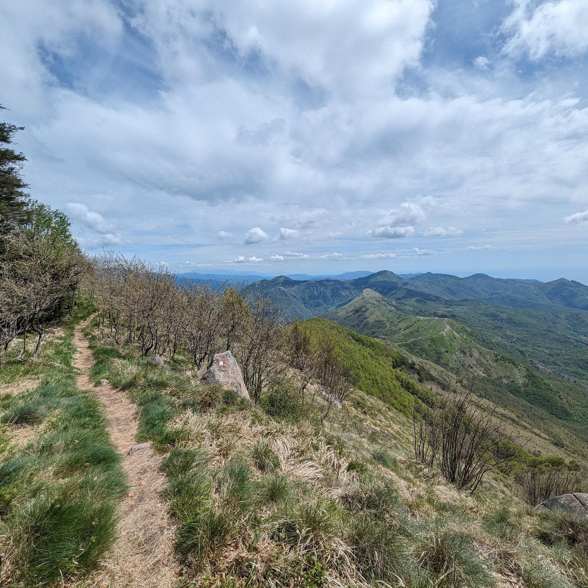
Bel valico dell'Appennino Ligure situato a 1.468 metri. Punto strategico che offre varie alternative per iniziare una passeggiata o una lunga escursione.
0
0


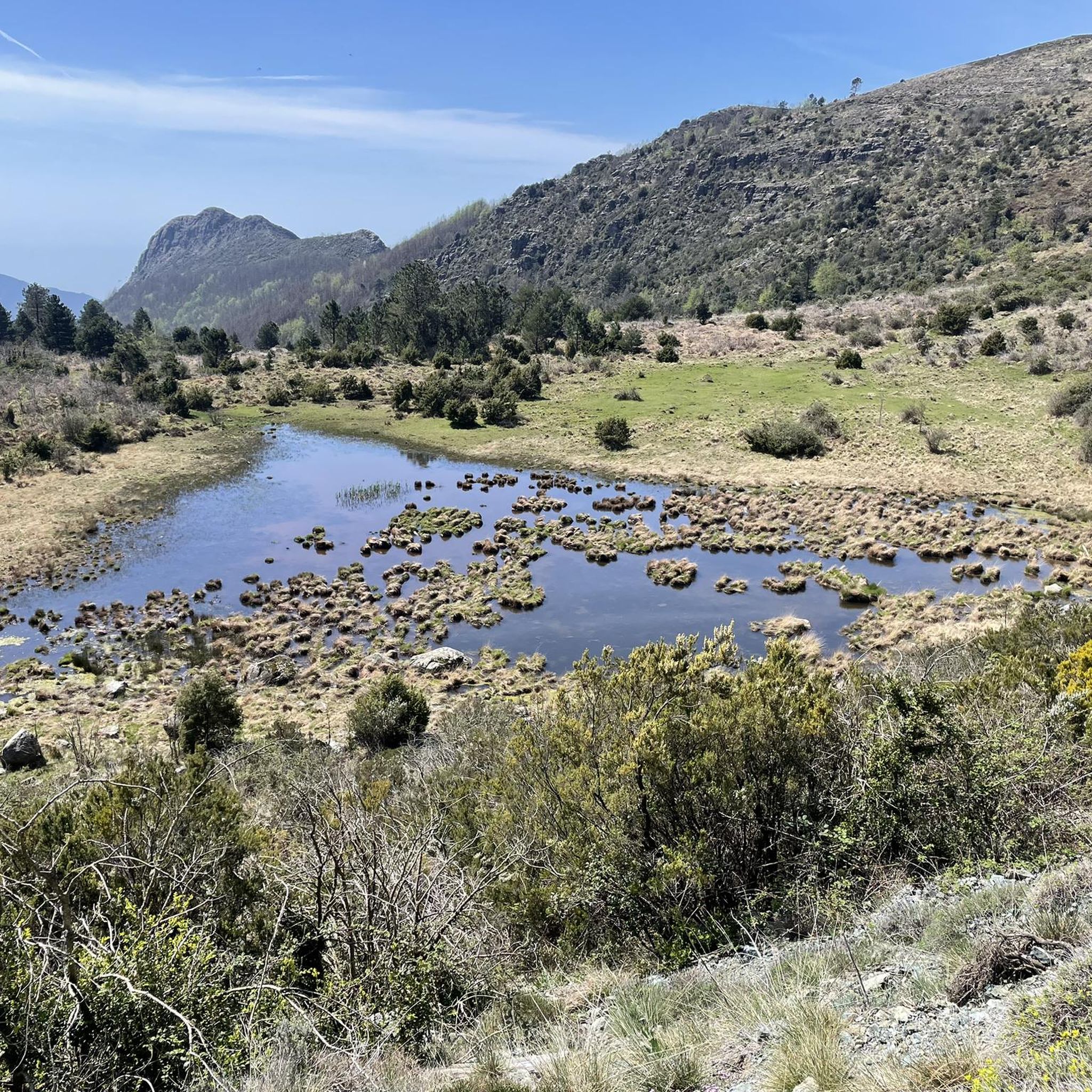
Situated at 956 meters between the Vara and Aveto Valleys, the Bocco Pass is one of the historic passes of the Ligurian Apennines, used since ancient times as a connection between the Tyrrhenian coast and the Po Valley hinterland. Already in Roman times, it was part of a secondary transit network, but it was especially in the Middle Ages and modern times that the pass assumed a central role in local traffic: a route for merchants, shepherds, and pilgrims, it connected Chiavari and the Riviera with Varese Ligure and the Emilian plains. Traces of the ancient paving are still visible today in the surrounding woods. During the Second World War, the area served as a refuge for partisan groups, thanks to its secluded location and dense forest cover. Today, the pass is a destination for cyclists and hikers, immersed in an unspoiled mountain landscape of beech and fir forests and highland meadows, at the gateway to the Aveto Regional Natural Park.
0
0

Easy ascent to the top of Monte Penna. From Passo dell'Incisa, the A5 route winds through the beech forest, making it feasible even in the hot season. The slope is not slight (20-25%) but considering the limited distance it is feasible. We did this route with our 6-year-old daughter (already accustomed to mountain walks) without any particular effort. For children this is the path to take, the one that starts from Casermette del Monte Penna is not recommended due to the via ferrata which makes it decidedly less suitable. NOTE: Passo dell'Incisa can be reached by car by carefully following a dirt road (about 1.4 km from the junction on Strada Provinciale 75)
0
0

The Mola Pass is an alternative to the parallel Bracco Pass with the advantage that the road is much less busy.
1
0

Crossing point of the Alta Via dei Monti Liguri and starting point for excursions to the Penna and Aiona mountains. The history of this place seems to be linked to the Latin term "incido," which means "cut." It is said that the Romans, tired of the resistance of the Ligurian tribes, decided to cut down the Apennine forests to weaken them. The Ligurians were masters of guerrilla warfare, while the Romans preferred the open field, and the removal of trees would have facilitated their strategy.
1
0
네 주변에서 가장 인기 있는 명소


더 살펴보기
이 가이드를 통해 더 많은 장대한 산악 통과를 확인해보세요 네 주변:
