20의 코나흐트가지 명소 & 주요 장소
코나흐트에는 둘러볼 만한 장소가 많답니다. 하이킹 또는 사이클링을 좋아한다면 코나흐트에 숨겨진 20
가지 보석을 만날 수 있을 거예요. 이 지역의 주요 명소를 살펴보면서 다음 모험을 계획해보세요.
마지막 업데이트: 8월 29, 2026
다이아몬드 힐 정상
하이라이트 • 정상
번역자 Google •
팁에 의해

크로그 패트릭 정상
하이라이트 • 정상
번역자 Google •
팁에 의해

이런 장소를 발견하려면 지금 가입하세요
최고의 싱글 트랙, 봉우리 및 다양한 흥미로운 야외 장소에 대한 추천을 받아보세요.
무료 회원 가입
메이브 여왕의 무덤 (녹크니어라 카른)
하이라이트 • 역사적 장소
번역자 Google •
팁에 의해


슬리브모어 정상과 버려진 마을
하이라이트 • 정상
팁에 의해
스톤 정션에서 바라본 다이아몬드 힐 전망
하이라이트 • 전망대
번역자 Google •
팁에 의해

코네마라 국립공원 방문자 센터
하이라이트 • 휴식 공간
번역자 Google •
팁에 의해


다이아몬드 힐 전망대
하이라이트 • 정상
번역자 Google •
팁에 의해

골웨이의 거리 음악가들
하이라이트 • 정착지
번역자 Google •
팁에 의해

무료로 가입하여 코나흐트의 더 많은 명소를 발견하세요.
무료 회원 가입
이미 komoot 계정이 있나요?
오늘 무료 계정으로 시작하세요
다음 모험이 기다리고 있어요.
로그인 또는 가입하기
코나흐트 주변 인기 장소
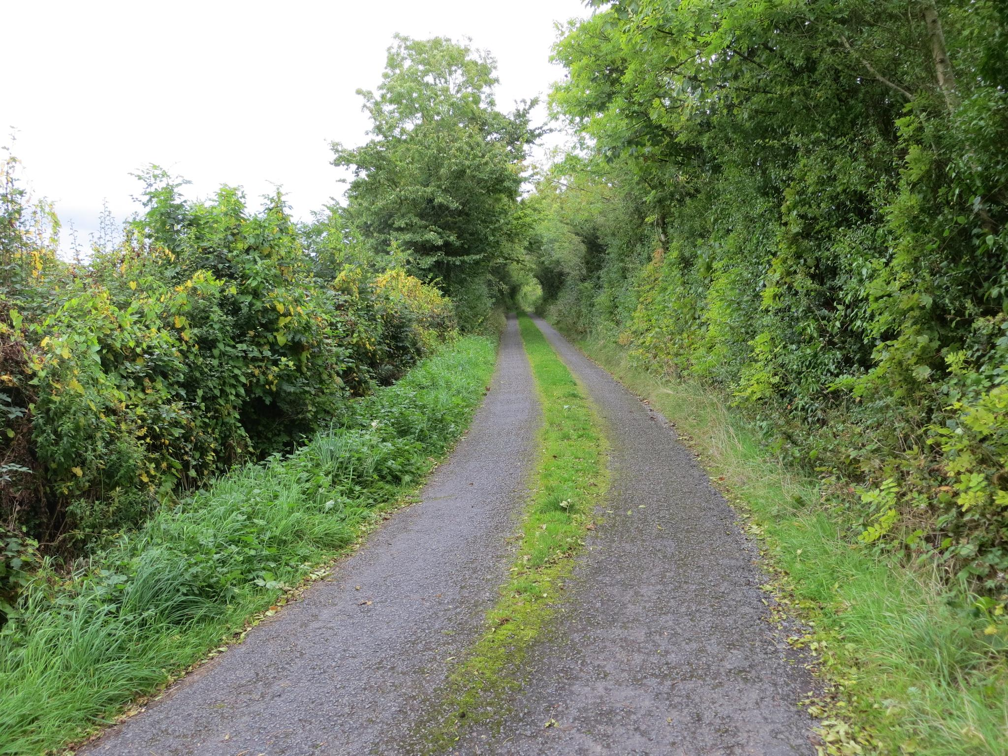
Suck Valley Way — 성, 강 & 시골 아일랜드
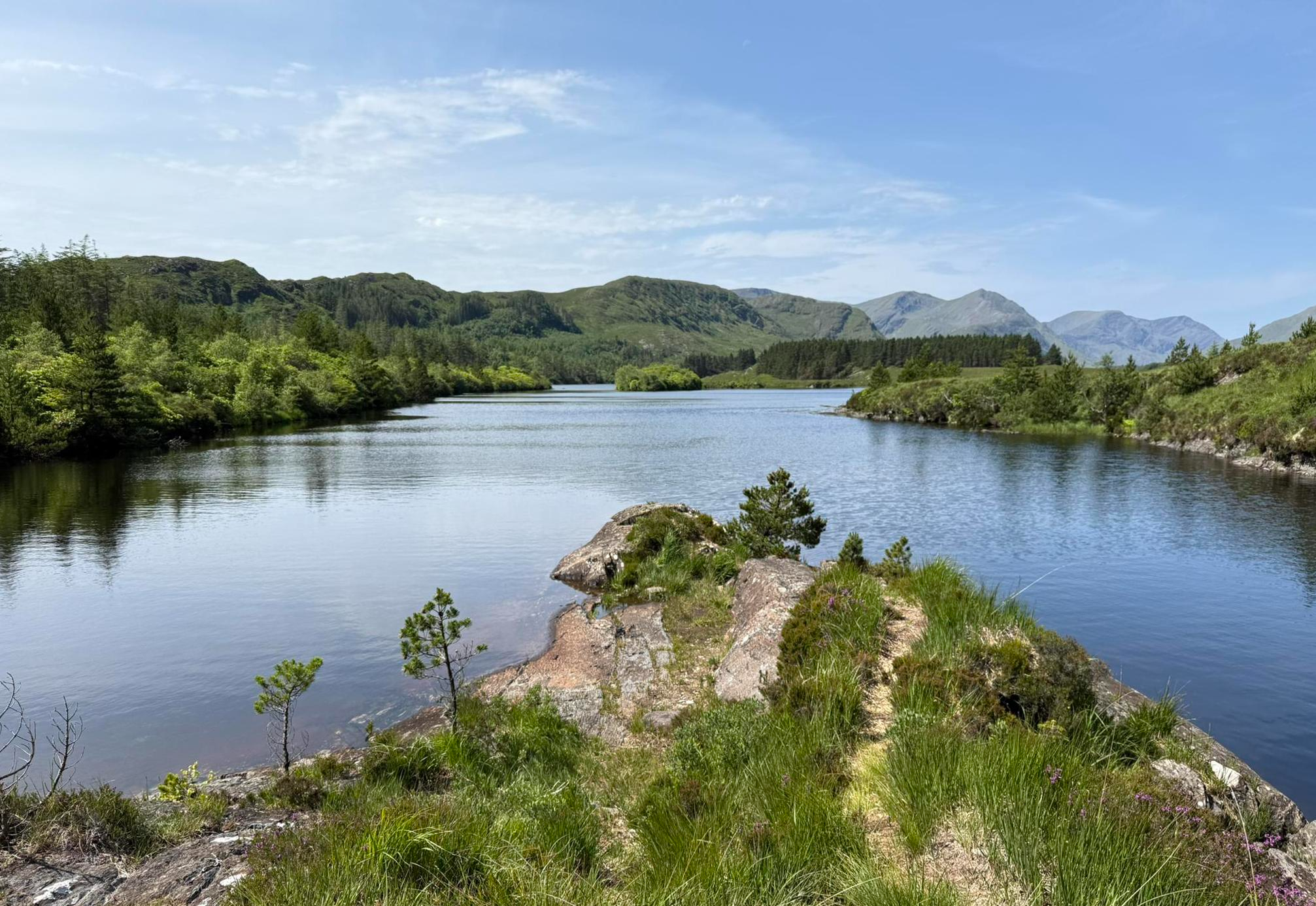
울퉁불퉁한 산들, 멀리 떨어진 언덕들과 전원 미경 – Western Way
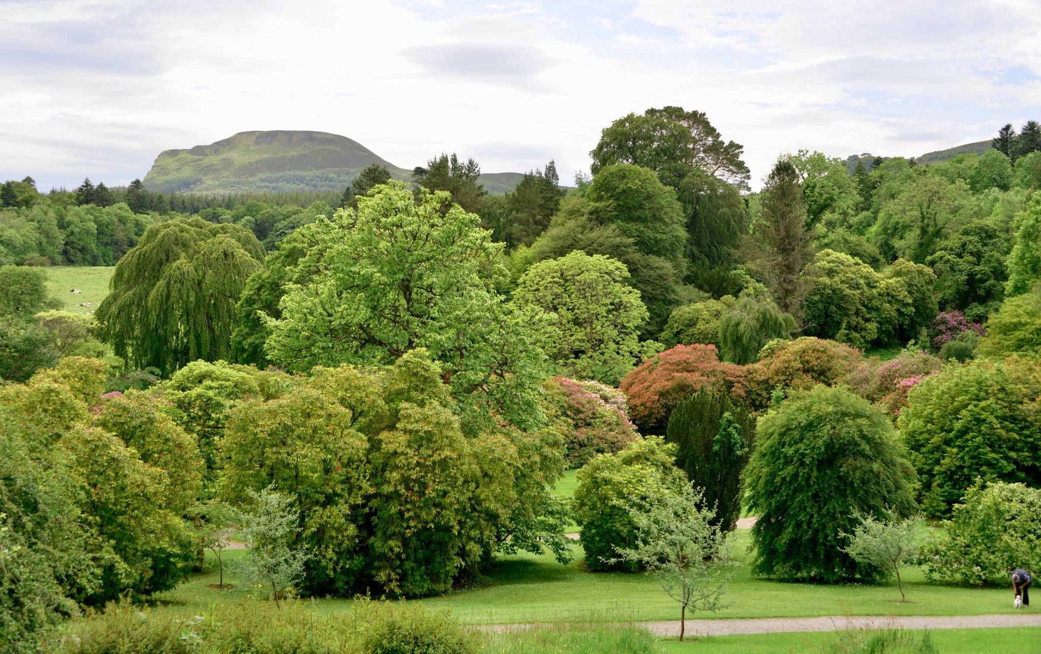
자전거를 타고 아일랜드의 다양한 역사와 자연을 탐험해 보세요 - Kingfisher Trail
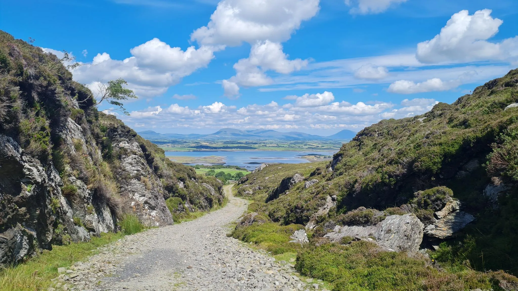
크로아 패트릭 헤리티지 트레일 – 아일랜드에서 가장 성스러운 산으로 하이킹
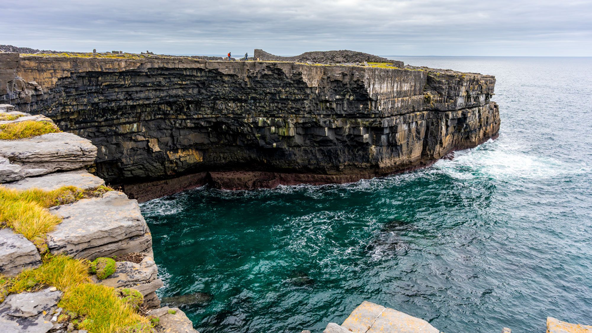
아란 제도
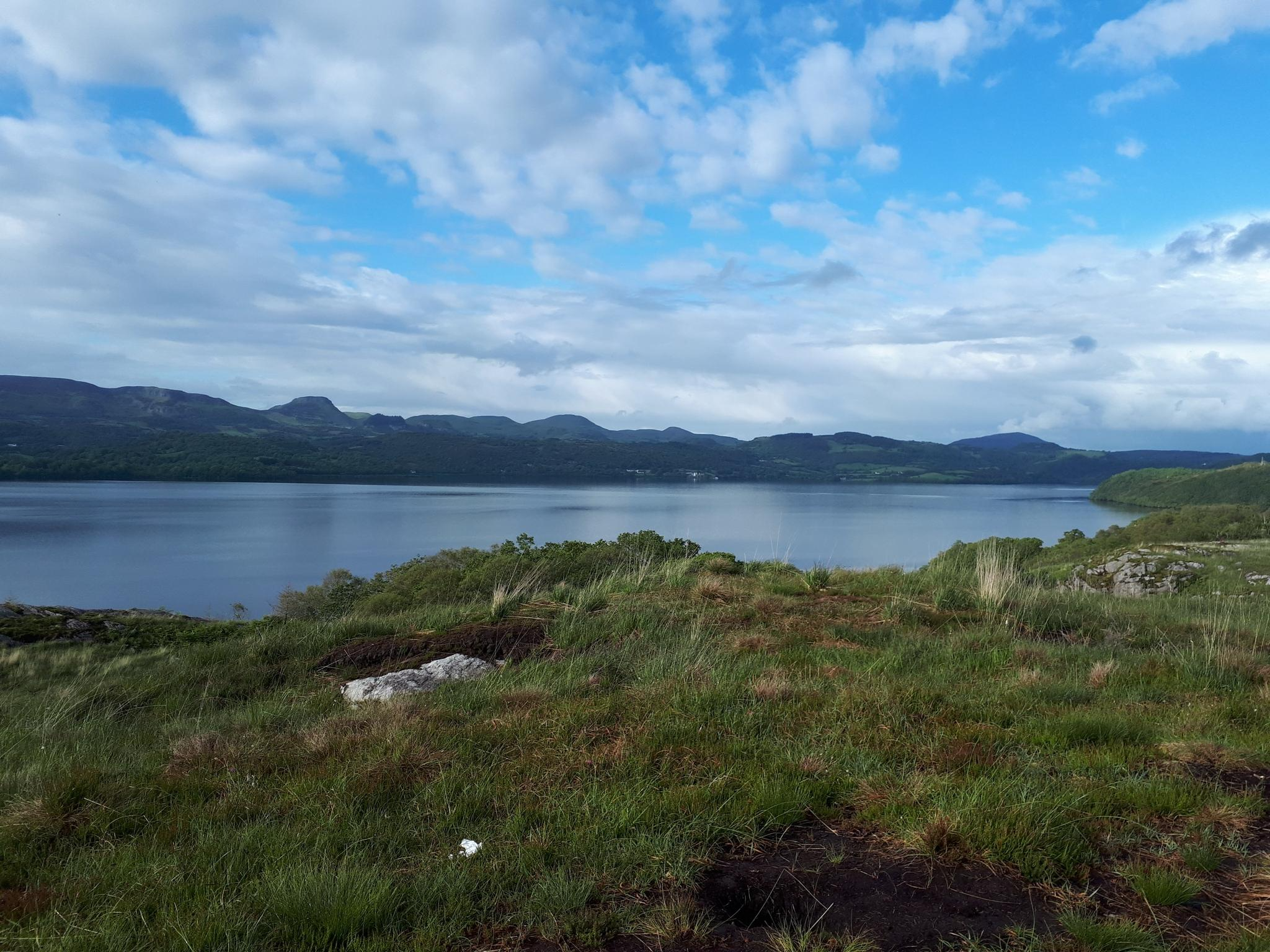
슬리고 웨이 - 예이츠 컨트리 하이킹
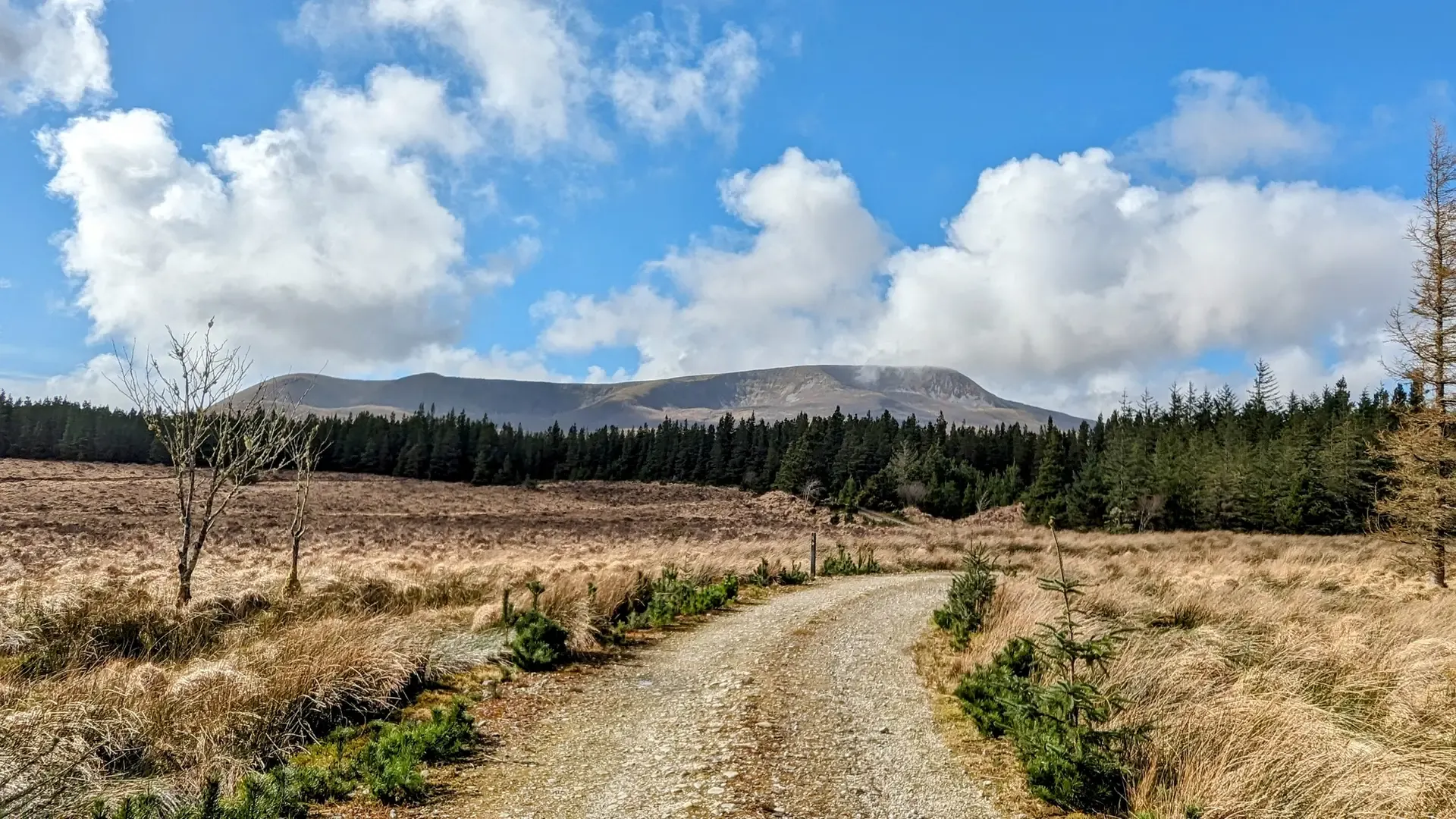
아일랜드의 험난한 놀이기구 - 와일드 네핀 웨이
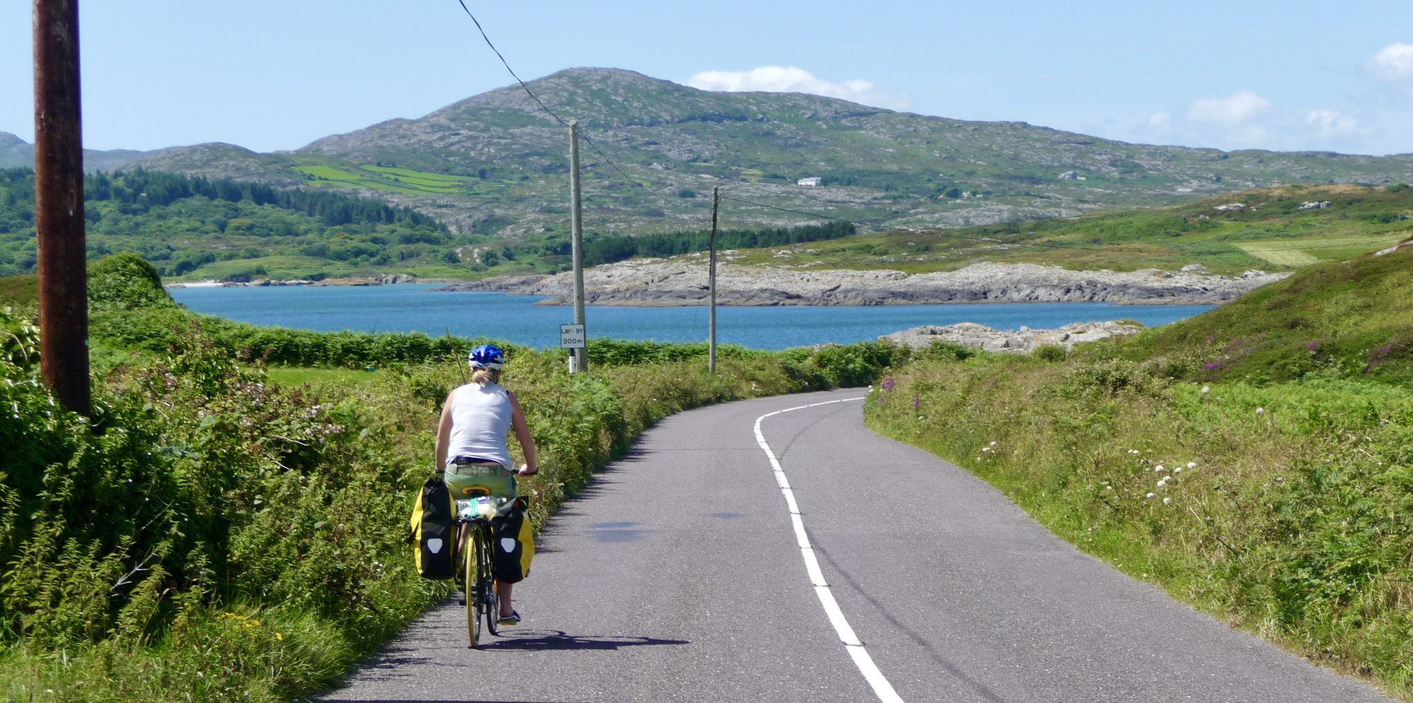
아이러랜의 아름다움을 발견하세요 - Mizen에서 Malin까지 끝에서 끝까지 자전거를 타세요
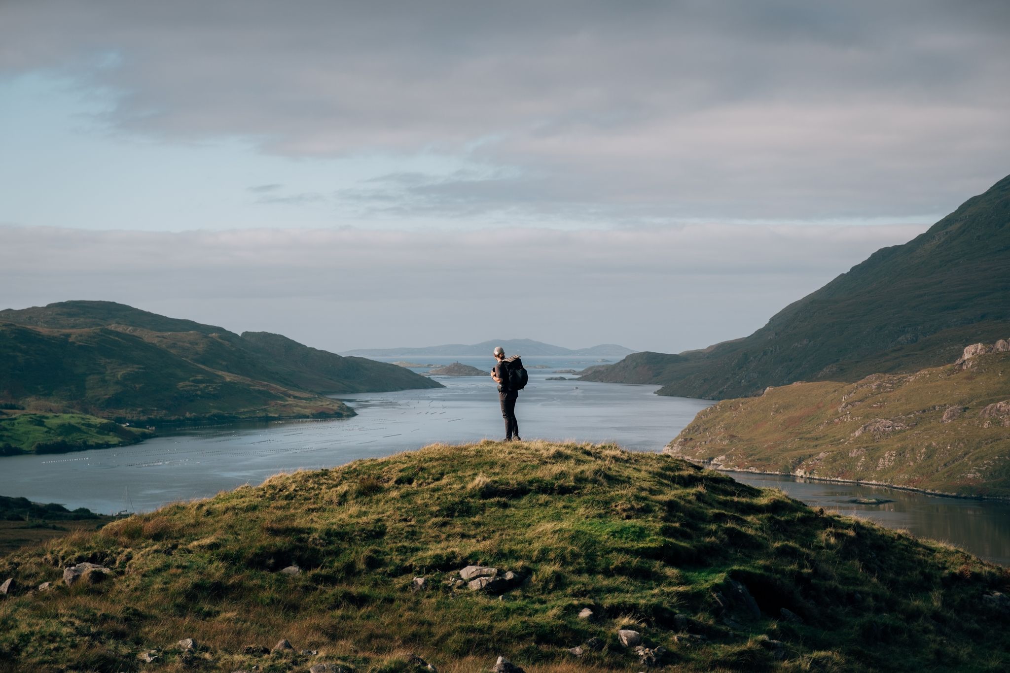
Wild and pristine – hiking along western Ireland’s cliffs & islands
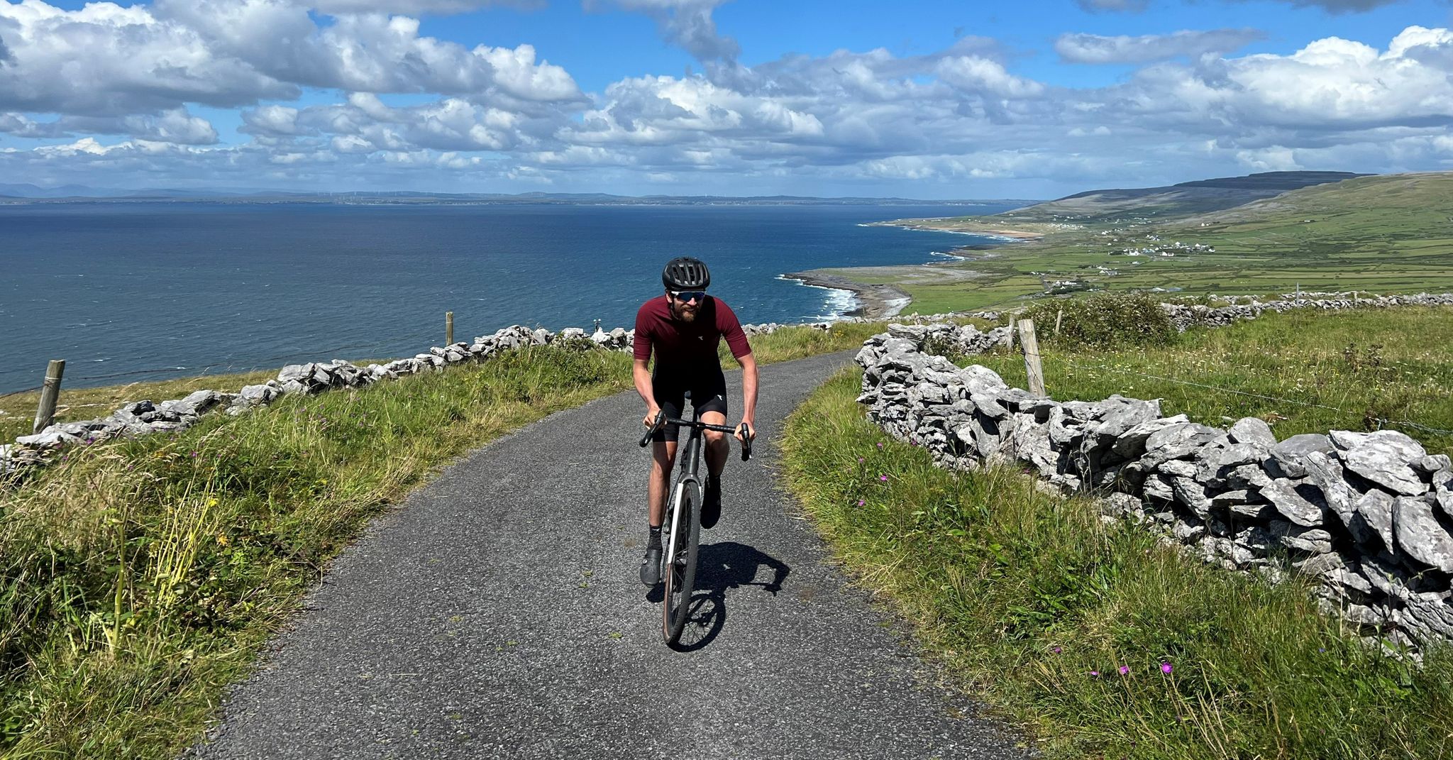
Road cycling on Ireland's west coast – four Tours with Jonas Deichmann
코나흐트의 다른 모험


커뮤니티 팁

A good hill to do, with beautiful views down over towards nearby Freaghillaun South and Inishbofin, which is further away in the distance. The going is quite hard with no real paths, so expect it to be boggy and rocky with ferns. However, the views are well worth it. You are best put to park at the harbour to walk this hill.
0
0

The summit is relatively easy to climb, but don't be fooled into thinking you can find a way up from the valley floor. The path disappears as soon as you start the ascent. Good mobility is essential to get up there, as there are several small scree sections along the way. The descent, on the other hand, is disastrous. There's no path at all, and you have to traverse a very unpleasant, steep slope through moss and bushes. It's recommended to split the hike if you only want to reach the summit. Start from the car park at Lough Accorymore and don't attempt the circular route to the top. I really advise against doing the circular route; you won't enjoy the hike otherwise, but the view is still worth it. Just follow the route marked at the car park by the lake.
3
0


Finished the tour today and discovered that there's mostly no path there. Anyone who can't navigate the difficult terrain could find themselves in trouble, especially in foggy conditions. The summit plateau has a lot of mud and swampy areas. But it's still a great tour for advanced hikers.
1
0

We took whatever looked like a path on the way up. On the way down things got clearer and made some other choices. You can take both paths or everything in between. Very enjoyable walk up the Tully Mountain.
0
0

This is definitely a challenging trail, and should only be done with good weather and a reliable GPS device. There is mostly no trail and some scrambling to get to the top. The ascend is steep and the descend is boggy even when it hasn’t rained for a while. Due to wayfinding plan more time, we did it in five hours including breaks and photo stops.
1
0

Wonderful view over the bays and lakes of Conemara
1
0

Unfortunately, we didn't have good weather. But even then, the visit is worth it. It has something mystical
1
1


더 살펴보기
찾고 있는 하이라이트를 아직 못 찾으셨나요? 다른 지역의 주요 명소 가이드를 확인해보세요:
