20의 마요네즈가지 명소 & 주요 장소
마요네즈에는 둘러볼 만한 장소가 많답니다. 하이킹 또는 사이클링을 좋아한다면 마요네즈에 숨겨진 20
가지 보석을 만날 수 있을 거예요. 이 지역의 주요 명소를 살펴보면서 다음 모험을 계획해보세요.
마지막 업데이트: 9월 26, 2026
크로그 패트릭 정상
하이라이트 • 정상
번역자 Google •
팁에 의해


이런 장소를 발견하려면 지금 가입하세요
최고의 싱글 트랙, 봉우리 및 다양한 흥미로운 야외 장소에 대한 추천을 받아보세요.
슬리브모어 정상과 버려진 마을
하이라이트 • 정상
팁에 의해


콩에 있는 더 콰이어트 맨 동상(존 웨인과 모린 오하라)
하이라이트 • 기념물
팁에 의해

웨스트포트 타운 센터
하이라이트 • 정착지
번역문 보기
팁에 의해
무료로 가입하여 마요네즈의 더 많은 명소를 발견하세요.
이미 komoot 계정이 있나요?
오늘 무료 계정으로 시작하세요
다음 모험이 기다리고 있어요.
마요네즈 주변 인기 장소
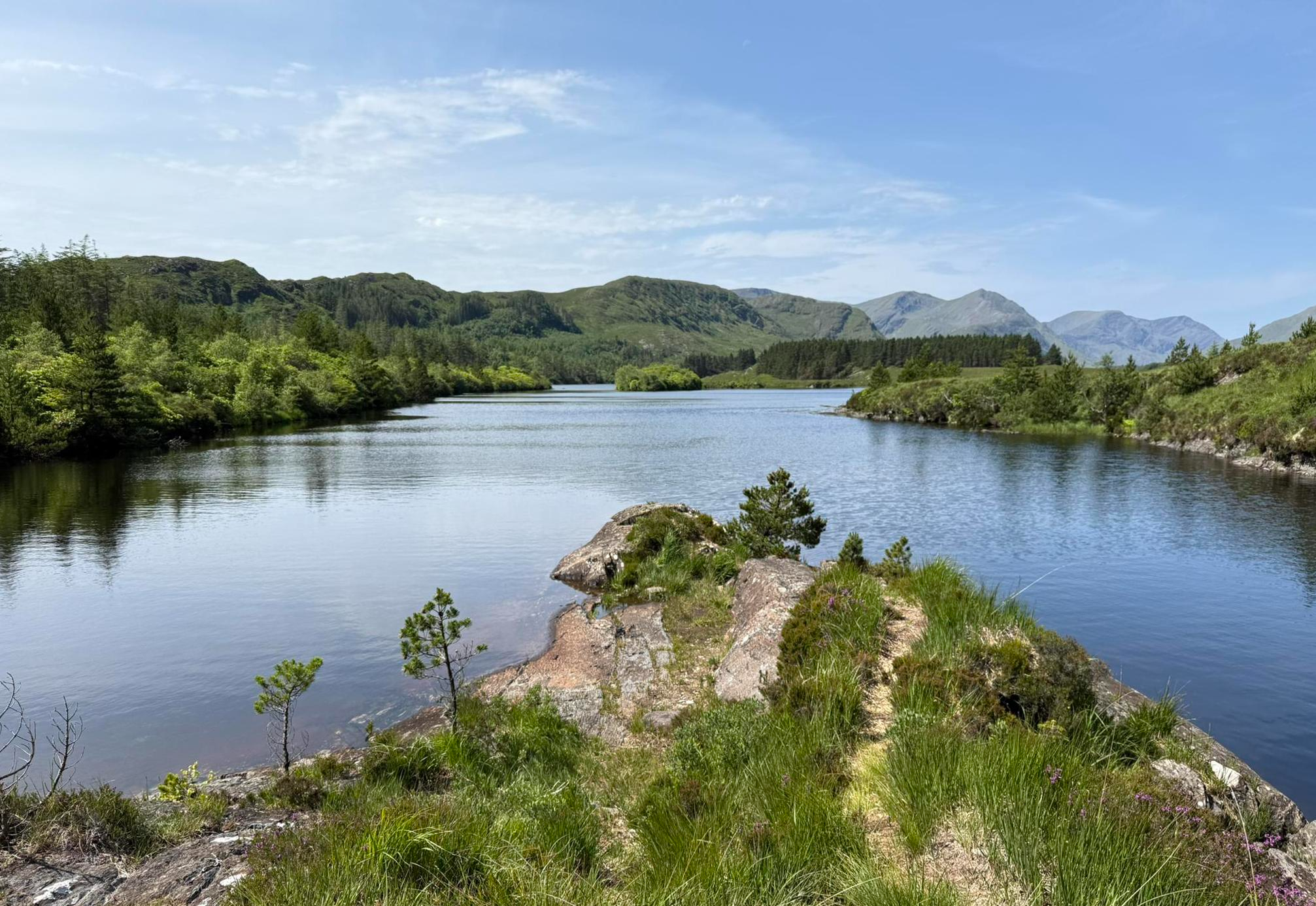
울퉁불퉁한 산들, 멀리 떨어진 언덕들과 전원 미경 – Western Way
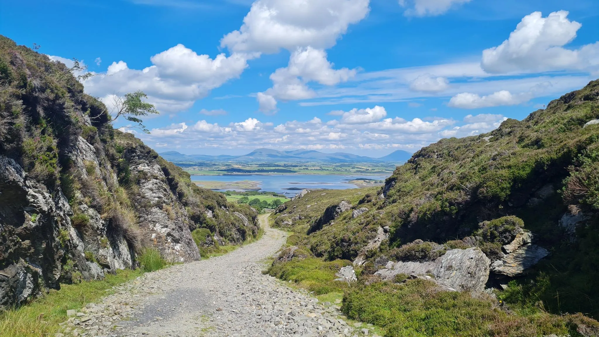
크로아 패트릭 헤리티지 트레일 – 아일랜드에서 가장 성스러운 산으로 하이킹
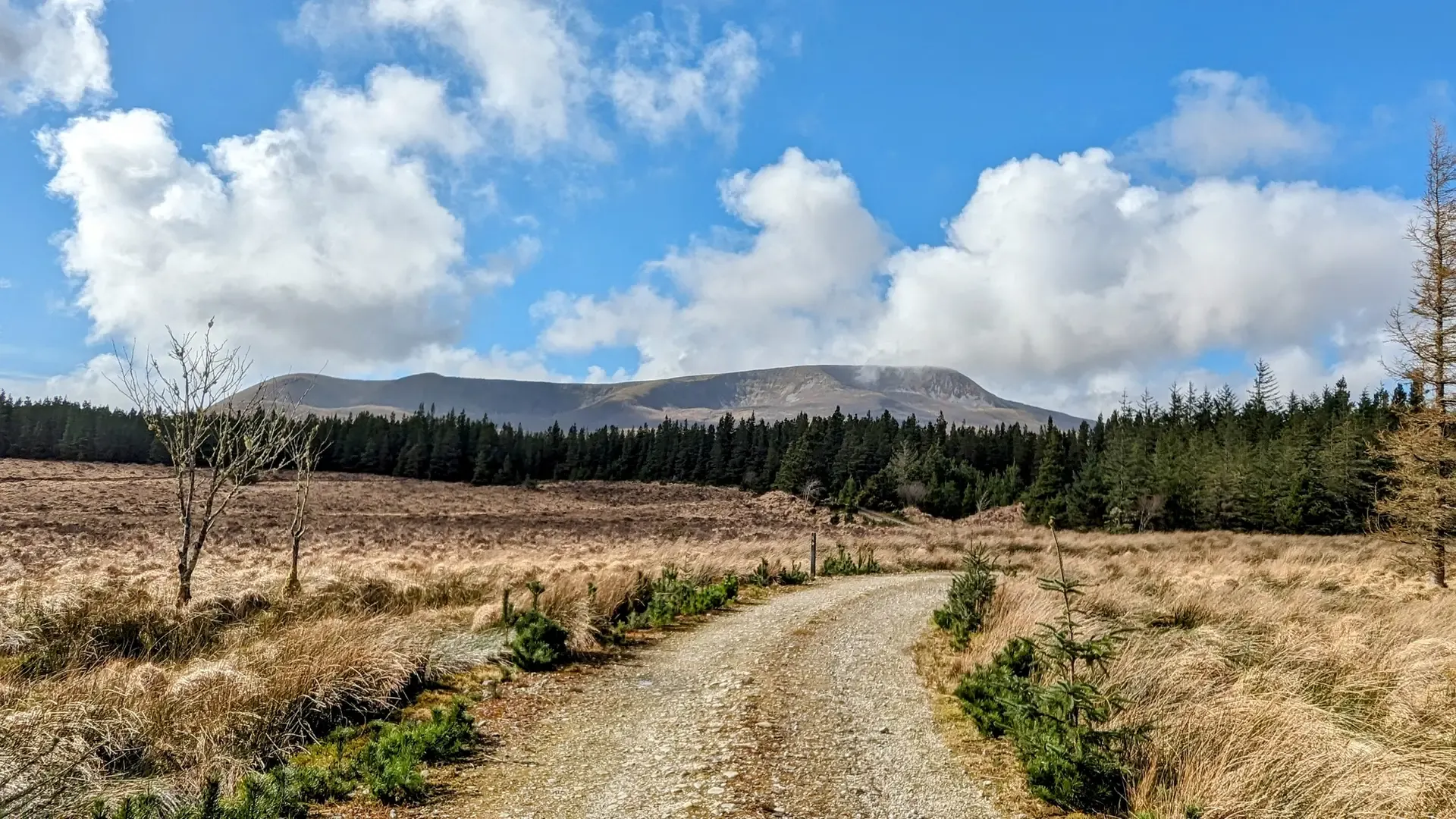
아일랜드의 험난한 놀이기구 - 와일드 네핀 웨이
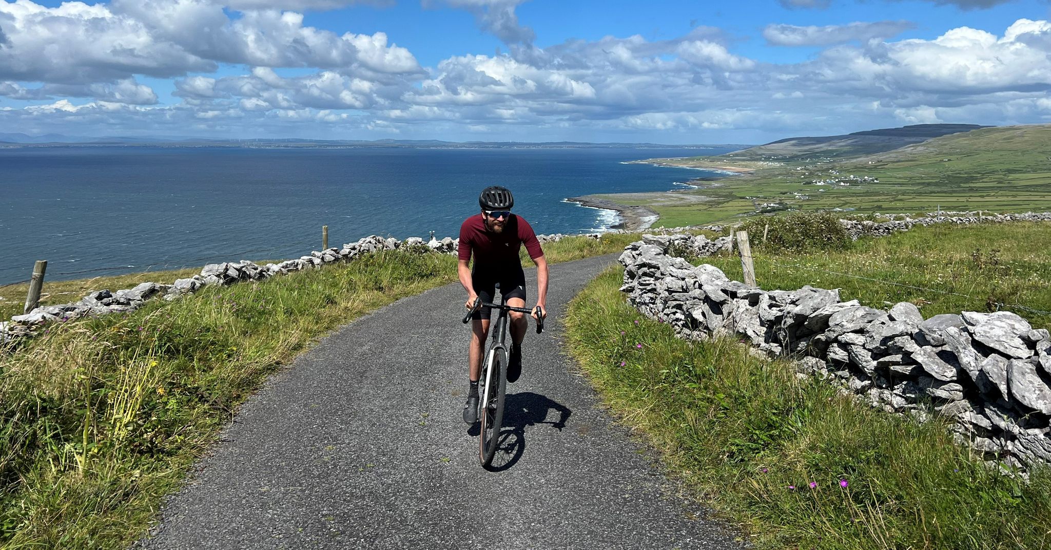
Road cycling on Ireland's west coast – four Tours with Jonas Deichmann

물을 따라가세요 - 아일랜드의 강과 호수를 따라
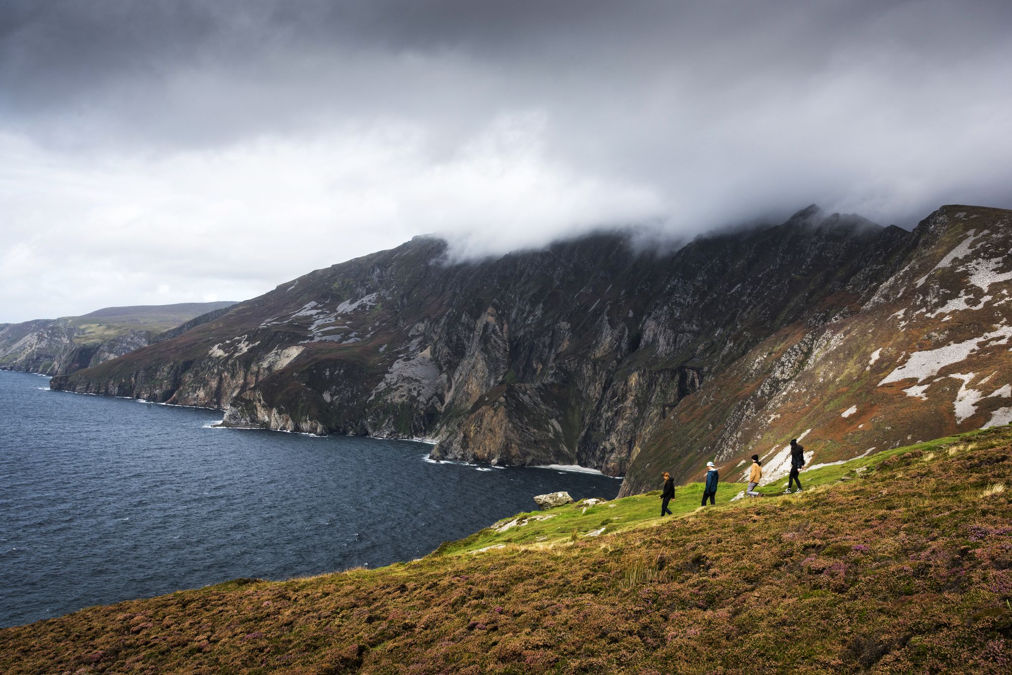
Hike Ireland's coast: cliffs, waves and wonderful wide beaches
Awaken your spirit of discovery — family-friendly walks in Ireland
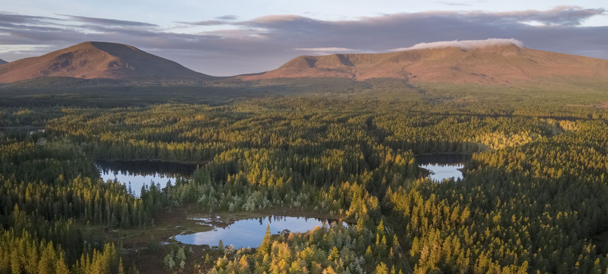
Discover Ireland's unspoilt nature in its national parks

Discover Ireland's past – historical walks on the Emerald Isle
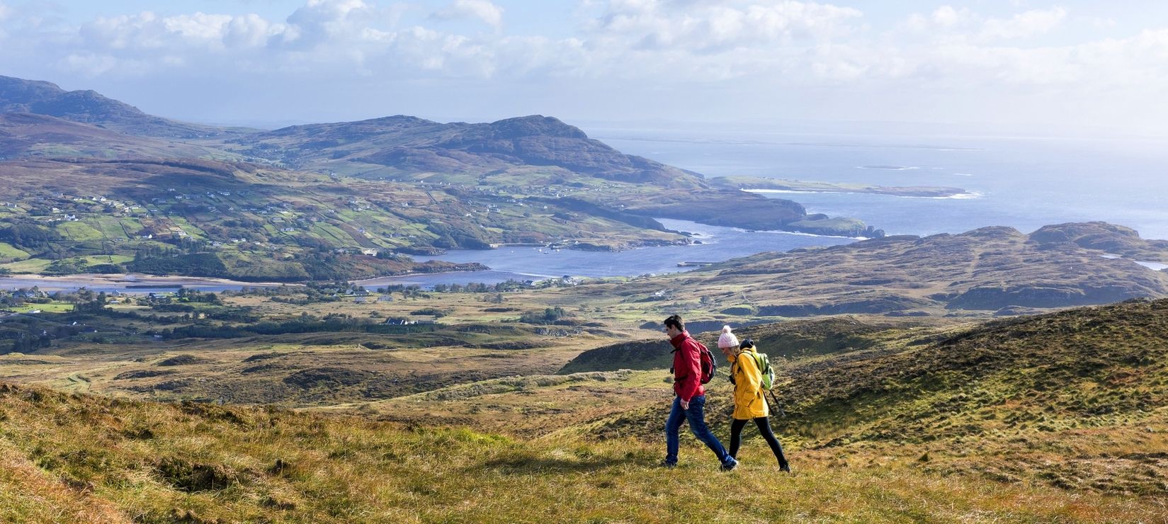
Wild Atlantic Way — day hikes for your road trip along Ireland's coastline
마요네즈의 다른 모험


커뮤니티 팁

북아일랜드와 남부 아일랜드 전역을 엮는 뒷길들의 복잡한 지형으로 향할 계획이라면 좋은 지도 소프트웨어를 꼭 챙기세요.
0
0

(유산 마을 & 그린웨이 허브) 발리베아건(Ballyveaghan)으로도 알려진 이 그림 같은 마을은 그레이트 웨스턴 그린웨이(Great Western Greenway)의 지리적 중심지이며 모나코의 그레이스 공주(Princess Grace)의 고향입니다. 뉴포트(Newport)(약 600명 거주)는 블랙 오크 강(Black Oak River)이 바다로 흘러 들어가는 클루 만(Clew Bay)의 북동쪽 모퉁이에 위치하며, 풍부한 해양 역사와 어업으로 유명합니다. 와일드 애틀랜틱 웨이(Wild Atlantic Way)의 자전거 이용자들에게는 필수 편의 시설(센트라(Centra) 등 슈퍼마켓, 아늑한 펍)과 험준한 네핀 베그 산맥(Nephin Beg Mountains)과 만의 365개 섬이 만나는 독특한 분위기를 갖춘 중요한 경유지입니다.
7
0
때묻지 않은 자연에 둘러싸인 이 우아하고 활기찬 마을은 메이요 백작의 수도로서 주변 환경과 아름다운 대조를 이룹니다. 조지아 시대 건축 양식은 영국의 지배를 떠올리게 하며, 건설(1780년)은 슬라이고 후작이 된 이 지역 최대 지주인 브라운 가문이 감독했습니다. 이 도시는 캐로우벡 강을 따라 펼쳐져 있습니다. 중심점은 옥타곤입니다. 도리스 양식 기둥 주위의 광장으로, 성 패트릭 동상이 서 있습니다. 거기에서 제임스 스트리트는 사우스 몰과 노스 몰로 둘러싸인 강의 그늘진 강둑으로 내려갑니다.
6
0
Galway와 Mayo의 경계에 있는 절대 놓쳐서는 안 될 명소입니다. 이곳에서는 Erriff 강이 넓은 암반 고원을 가로질러 피오르로 떨어집니다. 영화 'The Field'의 역사, 뛰어오르는 연어를 보러 오든, 단순히 Connemara 산맥의 극적인 풍경을 보러 오든, 이곳은 결코 실망시키지 않습니다. 특히 거센 아일랜드 소나기 후에는 더욱 인상적입니다!
6
0

The summit is relatively easy to climb, but don't be fooled into thinking you can find a way up from the valley floor. The path disappears as soon as you start the ascent. Good mobility is essential to get up there, as there are several small scree sections along the way. The descent, on the other hand, is disastrous. There's no path at all, and you have to traverse a very unpleasant, steep slope through moss and bushes. It's recommended to split the hike if you only want to reach the summit. Start from the car park at Lough Accorymore and don't attempt the circular route to the top. I really advise against doing the circular route; you won't enjoy the hike otherwise, but the view is still worth it. Just follow the route marked at the car park by the lake.
3
0

Newport enjoys a scenic setting on the shores of Clew Bay. Its pretty harbour and Main Street are a delight to explore. There are a good number of places to stay and it's worth checking out the award-winning Gráinne Uaile pub. The town is connected to Westport and Achill by the Great Western Greenway.
2
0
Aasleagh Falls is a pretty waterfall not far from Leenaun. It's set in a typically beautiful and mountainous Connemara landscape, where the Erriff River empties into the Killary Fjord. The intriguingly named Devilsmother rises to the east, while Ben Gorm rises to the west. This part of the Western Way can be prone to flooding. If the trail is impassable, the N59 can be used instead.
2
0

Finished the tour today and discovered that there's mostly no path there. Anyone who can't navigate the difficult terrain could find themselves in trouble, especially in foggy conditions. The summit plateau has a lot of mud and swampy areas. But it's still a great tour for advanced hikers.
1
0
마요네즈에서 가장 인기 있는 명소


찾고 계신 것을 찾지 못하셨나요?
근처의 멋진 장소를 더 탐험하고 싶으신가요? 우리의 가이드를 살펴보세요:
더 살펴보기
찾고 있는 하이라이트를 아직 못 찾으셨나요? 다른 지역의 주요 명소 가이드를 확인해보세요:
