레 에사르 주변 최고의 그래블 라이딩 코스
4.3
(18)
134
자전거 타는 사람
23
라이딩
레 에사르 주변의 엄선된 그래블 라이딩 코스에서 거친 라이딩의 매력을 경험하세요. 도전정신을 자극하는 업힐 코스이든 아름다운 풍경 트레일이든, 레 에사르 주변 최고의 그래블 라이딩 경로를 살펴보세요.
마지막 업데이트: 9월 9, 2026
4.3
(7)
44
자전거 타는 사람
45.4km
02:39
220m
220m
보통 자갈길 타기. 좋은 체력 필요. 대부분 포장된 지면. 실력과 관계없이 누구나 갈 수 있음.
5.0
(1)
10
자전거 타는 사람
58.6km
03:49
390m
400m
보통 자갈길 타기. 좋은 체력 필요. 대부분 포장된 지면. 실력과 관계없이 누구나 갈 수 있음.

4.0
(2)
8
자전거 타는 사람
51.5km
03:06
220m
220m
보통 자갈길 타기. 좋은 체력 필요. 대부분 포장된 지면. 실력과 관계없이 누구나 갈 수 있음.
7
자전거 타는 사람
64.7km
03:58
430m
430m
보통 자갈길 타기. 좋은 체력 필요. 대부분 포장된 지면. 실력과 관계없이 누구나 갈 수 있음.
3.0
(1)
7
자전거 타는 사람
46.0km
02:47
160m
160m
보통 자갈길 타기. 좋은 체력 필요. 대부분 포장된 지면. 실력과 관계없이 누구나 갈 수 있음.
더 다양한 경로와 다른 탐험가들의 추천을 살펴보세요.
이미 komoot 계정이 있나요?
투어 추천은 다른 사람들이 komoot에서 완료한 수천 개의 활동을 바탕으로 구성되어 있습니다.
오늘 무료 계정으로 시작하세요
다음 모험이 기다리고 있어요.


커뮤니티 팁

🏛️ 건설 : 서기 18-19년 이 아치는 티베리우스 황제 통치 시기인 서기 18-19년경에 건설되었습니다. 이 아치는 리옹과 생트를 연결하던 비아 아그리파의 입구에 있던 로마 다리의 입구에 위치했습니다. 따라서 이 아치는 진정한 의미의 "개선문"이 아닙니다. 로마 아키텐의 수도였던 메디올라눔 산토눔의 입구를 표시하는 도로 기념물이자 기념비적인 문이었습니다. 👤 누가 건설을 의뢰했는가? 이 아치는 로마화된 산토니족의 유력자였던 가이우스 율리우스 루푸스가 자금을 지원했습니다. 그는 이 아치를 티베리우스와 그의 조카 게르마니쿠스에게 헌정했습니다. 상인방에 새겨진 비문은 오늘날에도 이 아치가 헌정된 인물들을 알 수 있게 해줍니다. "게르마니쿠스 개선문"이라는 이름은 게르마니쿠스가 개인적으로 아치를 건설하거나 통과했다는 사실 때문이 아니라, 이 헌정 때문에 붙여진 것입니다. 🏗️ 상당히 특별한 기념물 이 아치에는 두 개의 통로가 있어 통행 흐름을 구분했을 것으로 보입니다. 높이는 약 15m, 너비는 16m입니다. 코린트 양식과 복합 양식의 주두는 특히 세심한 로마 건축을 증언합니다. 이것은 생트의 힘과 로마화의 진정한 과시였습니다. ⚠️ 아치가 사라질 뻔했던 순간 아마도 이것이 이 아치 역사상 가장 흥미로운 에피소드일 것입니다. 수세기 동안 아치는 항상 로마 다리, 그리고 중세 다리가 있던 샤랑트 강 우안에 위치했습니다. 19세기에는 오래된 다리가 노후화되었습니다. 1843년경 다리를 철거하기로 결정되었을 때, 아치도 파괴될 위기에 처했습니다. 이때 역사 기념물 총감이었던 프로스페르 메리메가 개입했습니다. 그는 보존을 주장하고 아치를 해체, 이전, 재조립하여 새로운 강둑에 설치하도록 했습니다. 이 보존과 관련된 또 다른 인물은 빅토르 위고입니다. 그는 1843년 9월 생트에 머물면서 메리메에게 기념물 보존을 위해 개입했습니다. 📍 왜 아치가 원래 위치에 정확히 있지 않은가? 오늘날 바송피에르 광장에서 볼 수 있는 아치는 원래 위치에 더 이상 있지 않습니다. 제방의 변형과 옛 다리의 철거 과정에서 수십 미터 이동되었습니다. 보존을 위해 돌 하나하나 해체하여 재조립했습니다. 오늘날 이 아치는 옛 로마 다리 통로 바로 근처에 위치해 있습니다. 🏛️ 보호 게르마니쿠스 개선문은 결국 1905년 7월 역사 기념물로 지정되었습니다. 흥미로운 추가 정보 생트 근처에 위치한 크라잔 채석장은 이 지역의 고대 건축물에 널리 사용된 석회암을 공급했습니다. 크라잔 석회암은 특히 게르마니쿠스 개선문과 같은 기념물에 사용되었습니다. 요약: 18-19년 → 로마 다리 입구에 아치 건설 ↓ 고대 → 중세 → 아치는 샤랑트 강 횡단과 계속 연관됨 ↓ 1843년 → 옛 다리 철거 및 아치 위협 ↓ 1843-1844년 → 메리메의 개입 및 아치 이전 ↓ 1905년 → 역사 기념물 지정
0
0

사블롱소 수도원(Abbaye Notre-Dame de Sablonceaux)은 12세기에 지어진 유서 깊은 아우구스티노 수도원입니다. 로마네스크 양식과 후기 고딕 양식이 혼합된 건축물은 독특한 종탑, 인상적인 수도원 교회 본당, 잘 보존된 회랑이 특징입니다. 이 수도원은 에큐메니컬 공동체인 Chemin Neuf가 운영하고 있습니다. 침묵, 기도, 만남의 장소로 사용됩니다. 수도원 교회와 일부 부지는 방문객에게 개방됩니다. 또한 현지 제품과 수공예품을 구매할 수 있는 작은 전시 및 정보 센터도 있습니다.
0
0

2026년 4월부터 가이드 투어 가능! 이 두 분수는 1세기 로마인들이 건설한 수도교의 수원지를 이용하여 18세기와 19세기에 주민들이 조성했습니다. 세탁터와 방앗간이 그곳에 지어졌습니다. 1993년 마을 주민들이 복원한 방앗간 바닥에서는 "로마식 슬래브"라고 불리는 수로를 발견할 수 있습니다. 물은 더 이상 이 수도교를 통과하지 않고 단층으로 사라져 지하 자연 통로로 합류합니다. 1935년경까지 이 분수는 방앗간 주인의 소유였으며, 그는 마음대로 주민들의 접근을 금지하여 당시 시에서 오래된 채석장에 세탁터를 추가로 조성하도록 강요했습니다.
0
0
The port of Ribérou is a major heritage site in Saujon, bearing witness to a prosperous maritime past linked to the salt and wine trade. Transformed in the 19th century by ambitious works, it has now been reinvented as a place for living, relaxation, and preserving local history. 🛶 Origins and the Middle Ages The port of Ribérou takes its name from the Latin word ripa ("riverbank") or the Occitan word ribèira ("river"). It is located at the head of the Seudre estuary. It existed as early as the 11th century and became an important river and sea port thanks to its strategic position at the head of the estuary, used particularly for the salt trade—then called "white gold"—a highly sought-after product for preserving food. 🚢 Medieval Period and International Trade With the opening of British markets during the reigns of Eleanor of Aquitaine and Henry II Plantagenet, ships laden with wool, salt, wine, and other goods flocked to Ribérou. In the 16th century, the port exported local wines (such as cognac and pineau) throughout Europe. In 1577, during the Wars of Religion, the port was a strategic site: troops were stationed there, and battles took place. 🏗️ Decline, Reconstruction, and the 19th Century The estuary gradually silted up, making navigation difficult. By 1691, only smaller vessels could dock there. During the French Revolution, the sale of the tidal mill, which helped remove sediment, worsened the silting, leading to the port's decline. A modernization project began in 1822, but it wasn't until 1839 that an ambitious program was launched under the impetus of Jules Dufaure—a native of Saujon and Minister of Public Works—with the construction of sturdy quays, slipways, a lock bridge (marking the boundary between fresh and salt water), and reception facilities. In 1842, the work was completed, and the main quay was named Quai Dufaure in honor of this political support. 📉 Gradual Decline and Modernization The arrival of the railway in 1876 and the persistent problems of silting led to a decline in the port's traditional commercial activity, already facing competition from other transport networks. In the 20th century, the port gradually lost its economic importance but remained active for traditional fishing and became a place for pleasure boating, leisure, and local culture. Urban and tourism development projects (particularly in 2011–2012) modernized the port while preserving its historical charm. 🌊 Today The port of Ribérou is now a small fishing and pleasure port, much appreciated for its walks along the Seudre River, water sports (canoeing, kayaking, paddleboarding, etc.), and seasonal events.
0
0


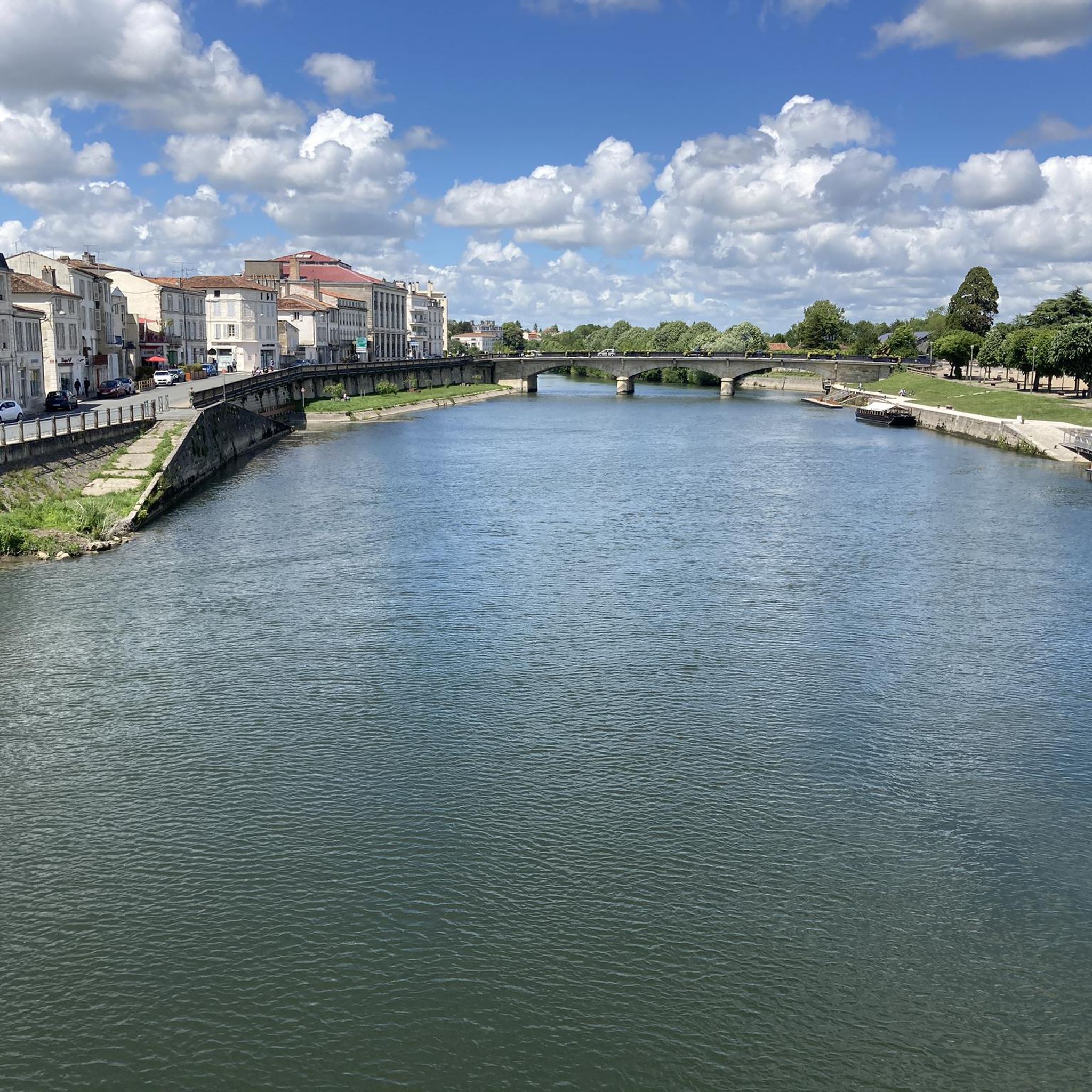
beautiful passages along the Charente with pretty monuments and small waterfront cafés in Port d’Envaux and Saintes.
0
0
The port of Ribérou is a fishing and pleasure port located at the end of the Seudre estuary, in Saujon. It is one of the two ports in the city, along with that of Breuil, a little downstream. Active since the 11th century, it took on its current appearance from 1842, under the impetus of the Minister of Public Works at the time, Jules Dufaure, a "local boy", who thus attempted to revive maritime trade and fishing activities, which were then in decline. Ideally located, on the edge of the city center, the La Lande leisure center and the preserved areas of the Seudre marshes (towpaths transformed into walking trails), it has become one of the major tourist attractions in Saujon, where theme evenings and the July 14 fireworks are organized. In 2011, the municipality began a renovation program for the port site, entrusted to the architect-urban planner Sophie Blanchet. It consists of transforming the old car parks into a pedestrian esplanade, a real meeting place with modern street furniture and, in the long term, green spaces. From the quays, lined with bourgeois buildings, small picturesque streets lined with hollyhocks allow you to crisscross the district and reach the city centre. The Ribérou lock bridge, known as the "bridge of opposing waters", was renovated in 2010. It marks the separation between the waters of the estuary (port side: brackish water) and the waters of the river (retention basin side: fresh water). Ribérou is a starting point for certain water sports (canoeing and kayaking). It is approximately 250 metres long and 40 metres wide. From Ribérou, it is possible to reach successively the ports of Breuil (Saujon), L'Éguille, Mornac, Chaillevette, Chatressac (Chaillevette), Grandes Roches and Orivol (Étaules), La Grève in Duret and Coux (Arvert), La Grève (La Tremblade) and La Cayenne (Marennes).
0
0
레 에사르 주변에서 가장 인기 있는 명소


더 살펴보기
다른 지역의 최고의 그래블 라이딩를 살펴보세요.
