르 구아 주변 최고의 그래블 라이딩 코스
3.7
(11)
139
자전거 타는 사람
9
라이딩
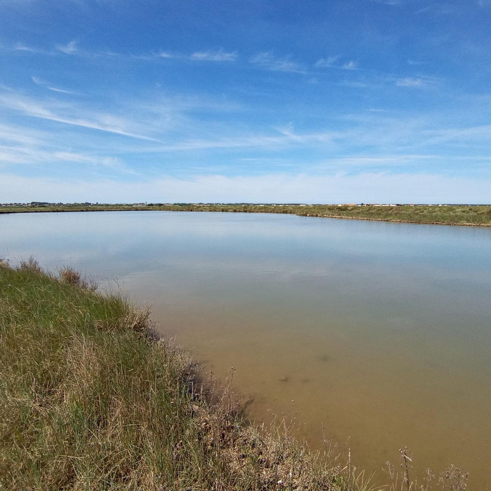
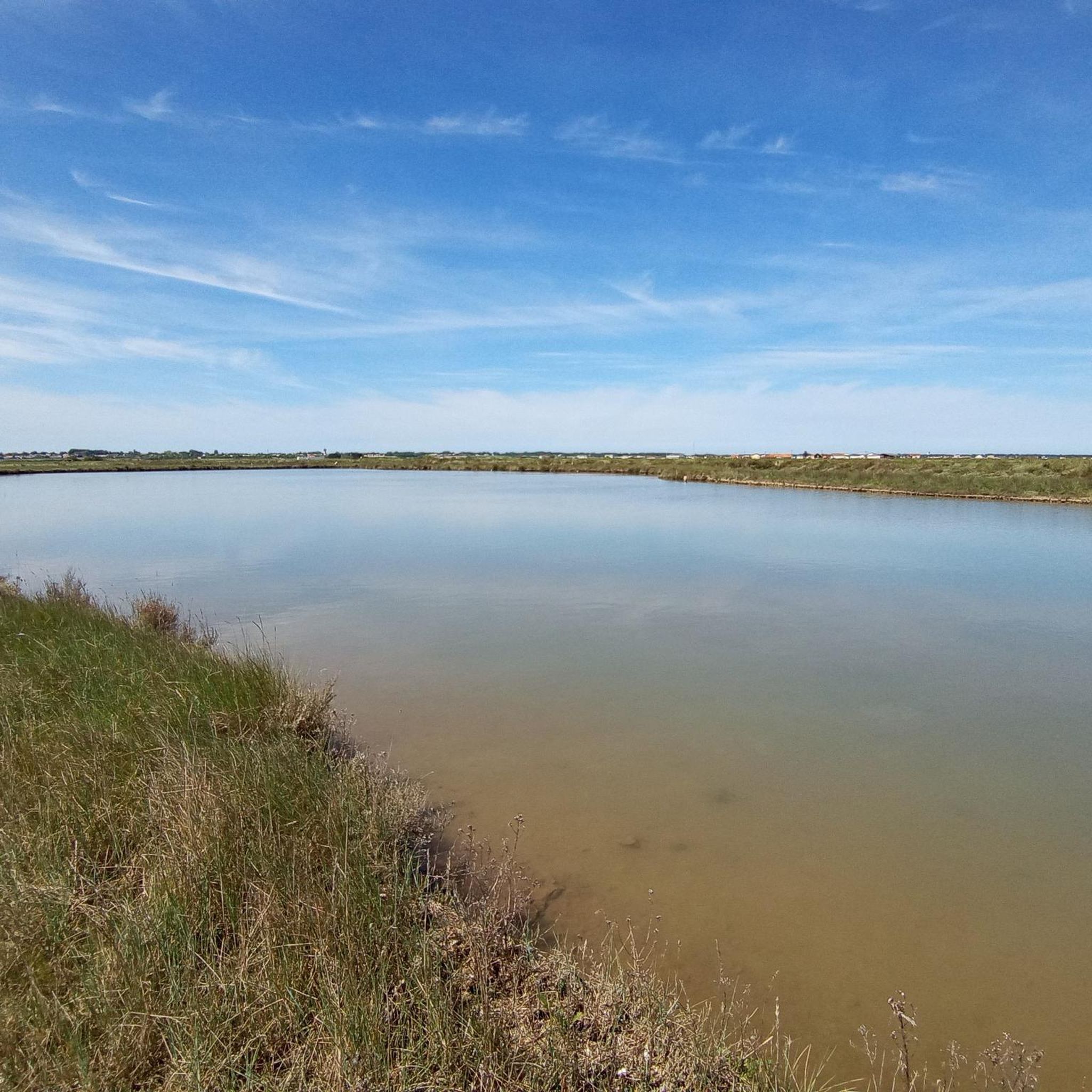
그래블 바이크를 타고 Le Gua 주변을 탐험하면 해안과의 근접성과 염수와 담수의 합류로 특징지어지는 다양한 풍경을 가로지르는 코스를 즐길 수 있습니다. 이 지역은 습지대와 해안 도로를 포함한 자연 경관을 제공하며 사이클리스트에게 다양한 지형을 선사합니다. 고도 변화는 일반적으로 완만하여 지역 환경을 탐험하기에 적합합니다. 이 지역의 지질은 평탄한 길, 기술적인 내리막길, 진흙길 구간이 혼합된 다양한 지형에 기여합니다.
Le Gua 주변 최고의 그래블 바이크 코스
- 가장 인기 있는 그래블 바이크 코스는 60.5마일(97.4km) 길이의 어려운 코스인 Carrelets de Royan – Royan Promenade and Beach loop…
마지막 업데이트: 8월 26, 2026
4.2
(6)
37
자전거 타는 사람
50.6km
03:05
360m
360m
보통 자갈길 타기. 좋은 체력 필요. 대부분 포장된 지면. 실력과 관계없이 누구나 갈 수 있음.
4.0
(1)
20
자전거 타는 사람
어려운 자갈길 타기. 좋은 체력 필요. 투어 중 자전거를 끌고 가야 하는 구간이 있을 수 있음.

무료 회원 가입
3.0
(1)
7
자전거 타는 사람
46.0km
02:47
160m
160m
보통 자갈길 타기. 좋은 체력 필요. 대부분 포장된 지면. 실력과 관계없이 누구나 갈 수 있음.
9
자전거 타는 사람
64.8km
03:41
270m
270m
어려운 자갈길 타기. 좋은 체력 필요. 투어 중 자전거를 끌고 가야 하는 구간이 있을 수 있음.
3.0
(1)
5
자전거 타는 사람
30.6km
01:51
100m
100m
초급용 그래블 라이딩. 모든 체력 수준에 적합. 대부분 포장된 지면. 실력과 관계없이 누구나 갈 수 있음.
더 다양한 경로와 다른 탐험가들의 추천을 살펴보세요.
무료 회원 가입
이미 komoot 계정이 있나요?
투어 추천은 다른 사람들이 komoot에서 완료한 수천 개의 활동을 바탕으로 구성되어 있습니다.
오늘 무료 계정으로 시작하세요
다음 모험이 기다리고 있어요.
로그인 또는 가입하기
커뮤니티 팁

모르낙의 시장 건물은 중세 시대에 처음 등장했습니다. 1664년에야 비로소 그 존재를 증명하는 최초의 서면 증거가 나타났습니다. 이 건물들은 아마도 더 오래되었을 것이며 1550년대에 지어졌을 수 있습니다. 시장은 일반적으로 돌기둥으로 지지되고 타일로 덮인 목조 구조물입니다. 코즈와 피자니의 시장과 마찬가지로 종교 전쟁의 우여곡절을 겪고 손상되거나 파괴되었다가 평화가 회복된 후 재건되었을 것으로 추정할 수 있습니다. 모르낙 시장 건물의 위치는 유명한 박람회 장소였으며 주민들이 영주에게 지불하는 권리를 대가로 상품을 판매할 수 있도록 했습니다. 이는 영주에게 중요한 수입원이자 시장 건물을 완벽한 상태로 유지해야 하는 의무를 부과했습니다. 영주와 판매자를 구속하는 행위는 해당 시장 건물의 상품 판매 및 유지 보수 권리를 명시하는 계약을 봉인했습니다.
0
0

사블롱소 수도원(Abbaye Notre-Dame de Sablonceaux)은 12세기에 지어진 유서 깊은 아우구스티노 수도원입니다. 로마네스크 양식과 후기 고딕 양식이 혼합된 건축물은 독특한 종탑, 인상적인 수도원 교회 본당, 잘 보존된 회랑이 특징입니다. 이 수도원은 에큐메니컬 공동체인 Chemin Neuf가 운영하고 있습니다. 침묵, 기도, 만남의 장소로 사용됩니다. 수도원 교회와 일부 부지는 방문객에게 개방됩니다. 또한 현지 제품과 수공예품을 구매할 수 있는 작은 전시 및 정보 센터도 있습니다.
0
0

그것을 위해 자연과 그 교회
0
0

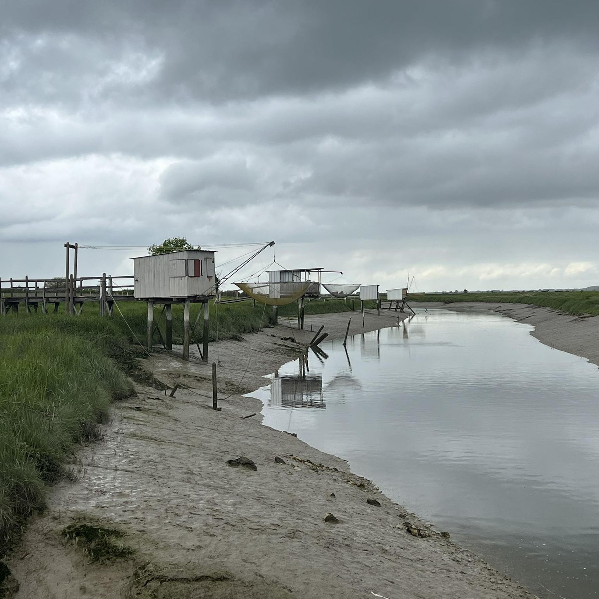
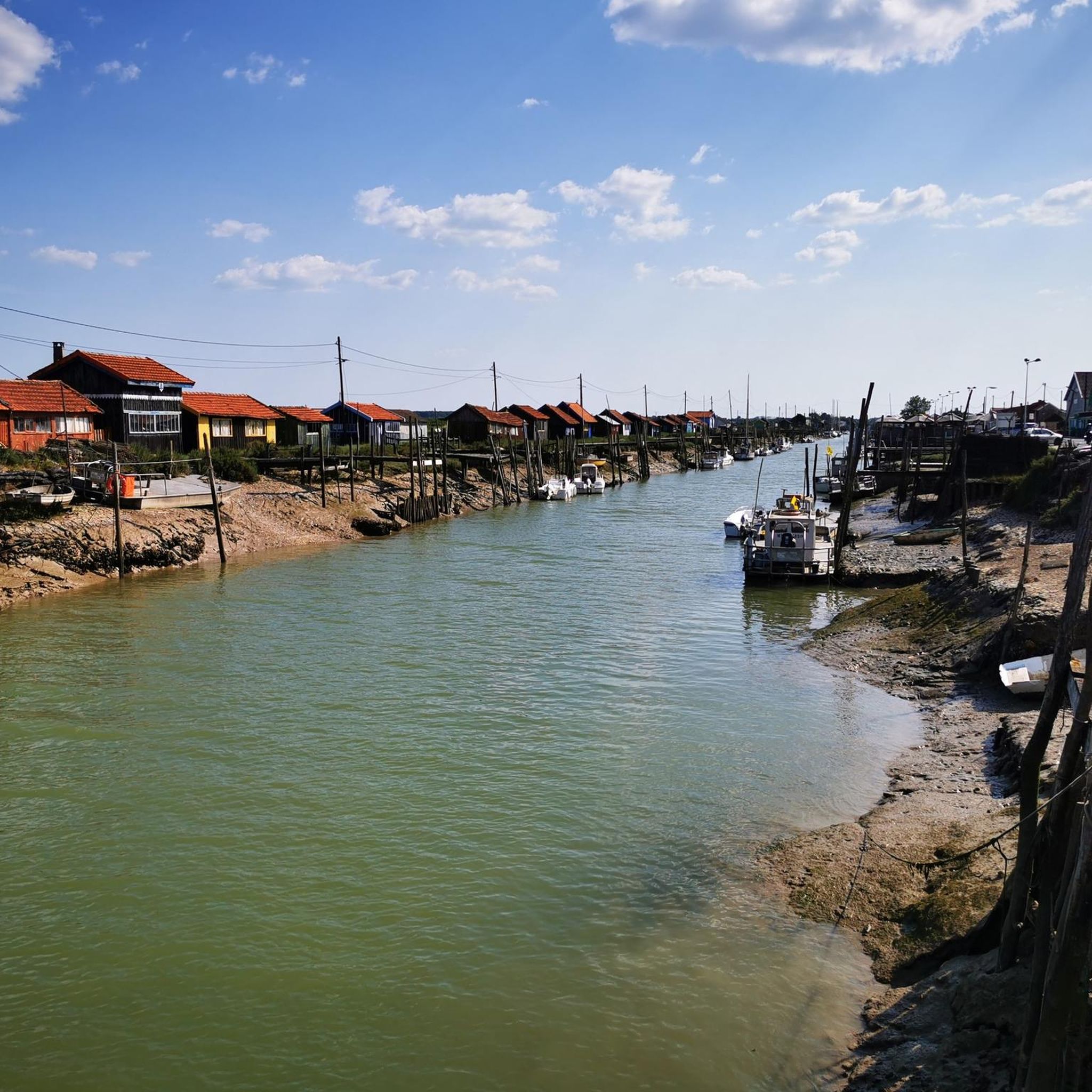
생-팔레-쉬르-메르의 카흘레(carrelets)는 샤랑트 해안의 가장 상징적인 요소 중 일부입니다. 그들의 역사는 전통적인 낚시, 관광의 발전, 지역 유산을 융합합니다. 🐟 카흘레의 기원 원래 "카흘레"라는 단어는 17세기부터 사용된 정사각형 어망을 지칭합니다. 1769년, 샤랑트 해안에서의 이 낚시 유형을 언급한 학자 앙리-루이 뒤아멜 뒤 몽소(Henri-Louis Duhamel du Monceau)의 글에서 정확한 설명을 찾을 수 있습니다. 👉 당시에는 아직 현재의 오두막이 아니라, 조잡한 구조물에서 조작되는 단순한 그물이었습니다. ⚓ 수공예 낚시 구조물 최초의 지역 카흘레는 어부들이 물 위로 올라서기 위해 직접 만든 단순한 나무 플랫폼이었습니다. 주로 바다로 나가지 않고 해안 근처에서 새우, 물고기, 게를 잡는 데 사용되었습니다. 👉 이는 바다 낚시보다 덜 위험한 가족적이고 연안적인 낚시였습니다. 🏖️ 19세기 – 20세기 초: 여가 활동으로의 전환 20세기 초, 생-팔레와 같은 해변 휴양지의 부상과 함께 카흘레는 진화했습니다. 휴가객과 유명 인사들이 이 관행을 받아들였습니다: 고정식 부두 건설, 기둥 위의 오두막 등장. 카흘레는 낚시 장소만큼이나 휴식 장소가 되었습니다. 👉 이미 해안의 엽서 같은 이미지에 기여하고 있었습니다. 🪵 1945년 이후: 대중화 및 확산 제2차 세계 대전 이후 카흘레의 수는 급격히 증가했습니다. 그것들은 대중적인 레저와 사교성의 상징이 되었습니다. 점진적으로 생계 수단에서 레크리에이션 활동으로 전환되었습니다. 🌊 폭풍과 재건 카흘레는 폭풍에 취약합니다: 1999년: 대규모 파괴 (일부 지역 최대 90%) 2010년 (신시아 폭풍): 새로운 피해. 많은 것들이 전통을 존중하여 동일하게 재건되었습니다. 🏛️ 오늘날: 보호받는 유산 샤랑트-마리팀에는 약 400개의 카흘레가 있습니다. 그것들은 다음과 같습니다: 공공 해양 구역에 통합됨 행정 허가로 할당됨 (종종 5년마다 갱신됨) 2018년부터 이 지역의 문화 유산으로 인정받고 있습니다. 👉 생-팔레에서는 특히 다음 장소에서 볼 수 있습니다: 악마의 다리(Pont du Diable) 콩시에 만(conche du Concié) 오튀르 우물(Puits de l’Auture)
0
0
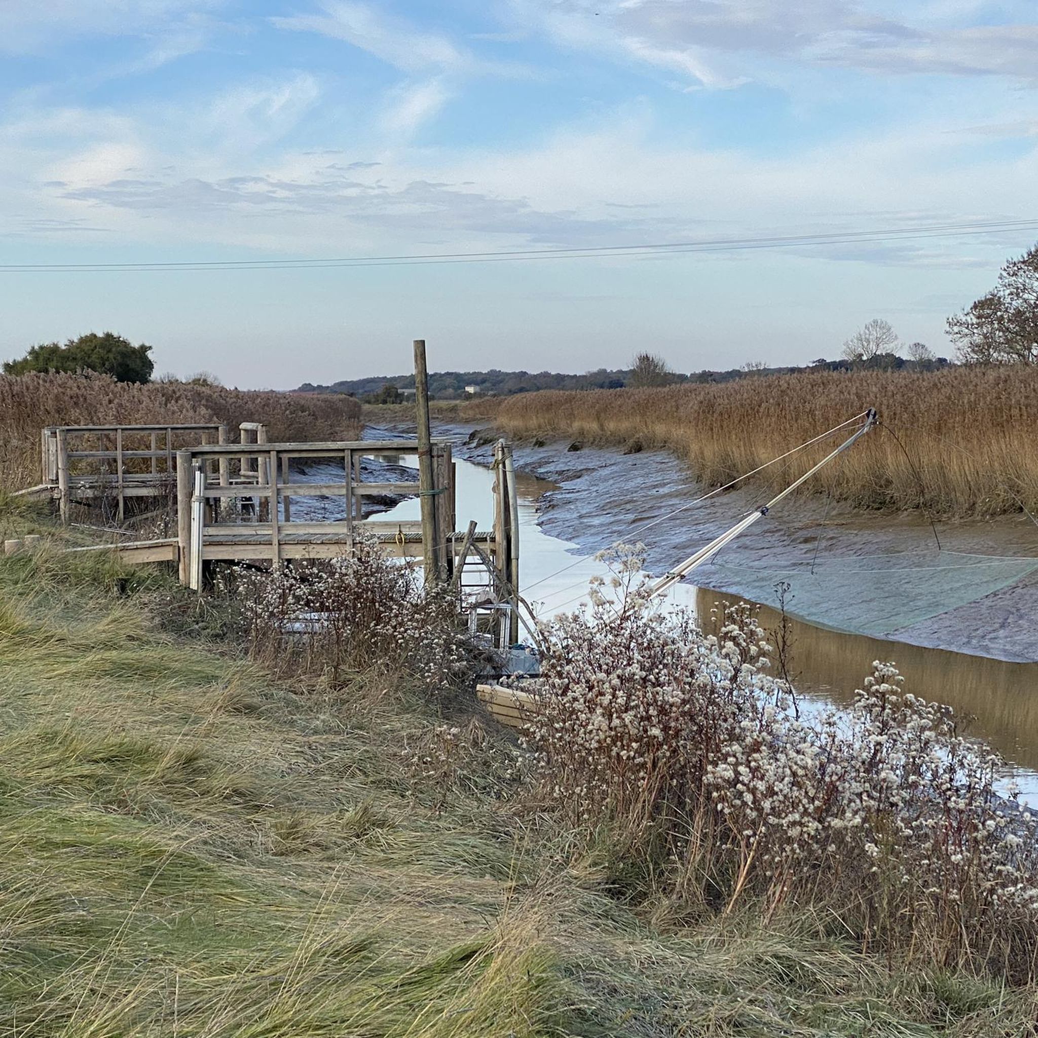
The port of Ribérou is a major heritage site in Saujon, bearing witness to a prosperous maritime past linked to the salt and wine trade. Transformed in the 19th century by ambitious works, it has now been reinvented as a place for living, relaxation, and preserving local history. 🛶 Origins and the Middle Ages The port of Ribérou takes its name from the Latin word ripa ("riverbank") or the Occitan word ribèira ("river"). It is located at the head of the Seudre estuary. It existed as early as the 11th century and became an important river and sea port thanks to its strategic position at the head of the estuary, used particularly for the salt trade—then called "white gold"—a highly sought-after product for preserving food. 🚢 Medieval Period and International Trade With the opening of British markets during the reigns of Eleanor of Aquitaine and Henry II Plantagenet, ships laden with wool, salt, wine, and other goods flocked to Ribérou. In the 16th century, the port exported local wines (such as cognac and pineau) throughout Europe. In 1577, during the Wars of Religion, the port was a strategic site: troops were stationed there, and battles took place. 🏗️ Decline, Reconstruction, and the 19th Century The estuary gradually silted up, making navigation difficult. By 1691, only smaller vessels could dock there. During the French Revolution, the sale of the tidal mill, which helped remove sediment, worsened the silting, leading to the port's decline. A modernization project began in 1822, but it wasn't until 1839 that an ambitious program was launched under the impetus of Jules Dufaure—a native of Saujon and Minister of Public Works—with the construction of sturdy quays, slipways, a lock bridge (marking the boundary between fresh and salt water), and reception facilities. In 1842, the work was completed, and the main quay was named Quai Dufaure in honor of this political support. 📉 Gradual Decline and Modernization The arrival of the railway in 1876 and the persistent problems of silting led to a decline in the port's traditional commercial activity, already facing competition from other transport networks. In the 20th century, the port gradually lost its economic importance but remained active for traditional fishing and became a place for pleasure boating, leisure, and local culture. Urban and tourism development projects (particularly in 2011–2012) modernized the port while preserving its historical charm. 🌊 Today The port of Ribérou is now a small fishing and pleasure port, much appreciated for its walks along the Seudre River, water sports (canoeing, kayaking, paddleboarding, etc.), and seasonal events.
0
0
📍 Introducing the Gilet Cove The Gilet Cove is a small, natural beach on the oceanfront, located on Boulevard de la Conche de Gilet / Boulevard de la Falaise, in the town of Vaux-sur-Mer, just before Royan. 🌿 It's a sheltered, rocky cove, appreciated for its tranquility and more intimate setting compared to the larger urban beaches nearby. 🏖️ At high tide, the sea can completely cover this small beach, making the space very limited; at low tide, you can enjoy a patch of sand and rocks for relaxing or swimming. 🧭 Features & Tips 📍 Type of place: small, unsupervised beach, nestled among the rocks with sand and cliffs. 🏖️ Tides: access is best at low tide — at high tide the beach can disappear underwater. 🐶 Animals: prohibited from April 1st to September 30th (subject to municipal regulations). 👣 Access: via stairs from the boulevard above, surrounded by villas with sea views. 🚫 Lifeguard services: no lifeguard station or marked services. 📍 Location La Conche de Gilet is often considered the last small beach in Vaux-sur-Mer before reaching Royan/Pontaillac when following the coastline from Saint-Palais-sur-Mer.
0
0

르 구아 주변에서 가장 인기 있는 명소


더 살펴보기
다른 지역의 최고의 그래블 라이딩를 살펴보세요.
