아이슬란드 산맥 최고의 워킹 & 하이킹 경로
4.5
(9669)
78,322
등산객
560
하이킹
아이슬란드 산맥에서 하이킹하며 아이슬란드 구석 부분까지 살펴볼까요? 아이슬란드 산맥에 있는 모든 하이킹 및 워킹 경로 컬렉션 중 가장 멋진 하이킹 경로를 엄선하여 소개해드릴게요. 다른 하이커가 공유한 실제 팁과 사진을 살펴보고 후기를 읽으며 마음에 드는 아이슬란드 산맥 워킹 경로를 찾아보세요.
마지막 업데이트: 10월 2, 2026
4.7
(561)
4,049
등산객
4.90km
01:18
50m
50m
초급용 하이킹. 모든 체력 수준에 적합. 실력과 관계없이 누구나 쉽게 갈 수 있는 길.
4.7
(500)
3,435
등산객
4.88km
01:18
50m
50m
초급용 하이킹. 모든 체력 수준에 적합. 실력과 관계없이 누구나 쉽게 갈 수 있는 길.

4.2
(134)
2,787
등산객
7.35km
01:54
40m
40m
초급용 하이킹. 모든 체력 수준에 적합. 실력과 관계없이 누구나 쉽게 갈 수 있는 길.
4.9
(205)
1,604
등산객
10.4km
03:51
350m
350m
어려운 하이킹. 좋은 체력 필요. 튼튼한 신발을 신고 미끄러지지 않게 조심해야 하며, 높은 산을 오른 경험이 있어야 함.
4.9
(126)
994
등산객
4.62km
01:53
230m
230m
보통 하이킹. 모든 체력 수준에 적합. 대부분 갈 수 있는 길. 미끄러지지 않게 조심해야 함.
4.8
(198)
1,566
등산객
5.98km
01:58
130m
130m
어려운 하이킹. 모든 체력 수준에 적합. 튼튼한 신발을 신고 미끄러지지 않게 조심해야 하며, 높은 산을 오른 경험이 있어야 함.
4.6
(111)
1,454
등산객
2.01km
00:34
30m
30m
어려운 하이킹. 모든 체력 수준에 적합. 튼튼한 신발을 신고 미끄러지지 않게 조심해야 하며, 높은 산을 오른 경험이 있어야 함.
4.6
(84)
1,284
등산객
2.05km
00:35
30m
30m
어려운 하이킹. 모든 체력 수준에 적합. 튼튼한 신발을 신고 미끄러지지 않게 조심해야 하며, 높은 산을 오른 경험이 있어야 함.
4.8
(196)
1,108
등산객
6.33km
01:40
60m
60m
초급용 하이킹. 모든 체력 수준에 적합. 실력과 관계없이 누구나 쉽게 갈 수 있는 길.
4.8
(108)
1,079
등산객
2.53km
00:41
20m
20m
보통 하이킹. 모든 체력 수준에 적합. 대부분 갈 수 있는 길. 미끄러지지 않게 조심해야 함.
더 다양한 경로와 다른 탐험가들의 추천을 살펴보세요.
이미 komoot 계정이 있나요?
투어 추천은 다른 사람들이 komoot에서 완료한 수천 개의 활동을 바탕으로 구성되어 있습니다.
오늘 무료 계정으로 시작하세요
다음 모험이 기다리고 있어요.
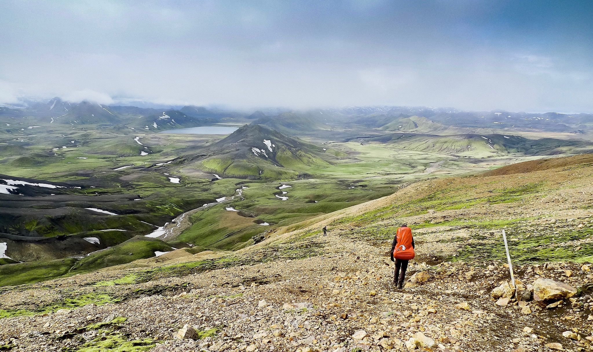
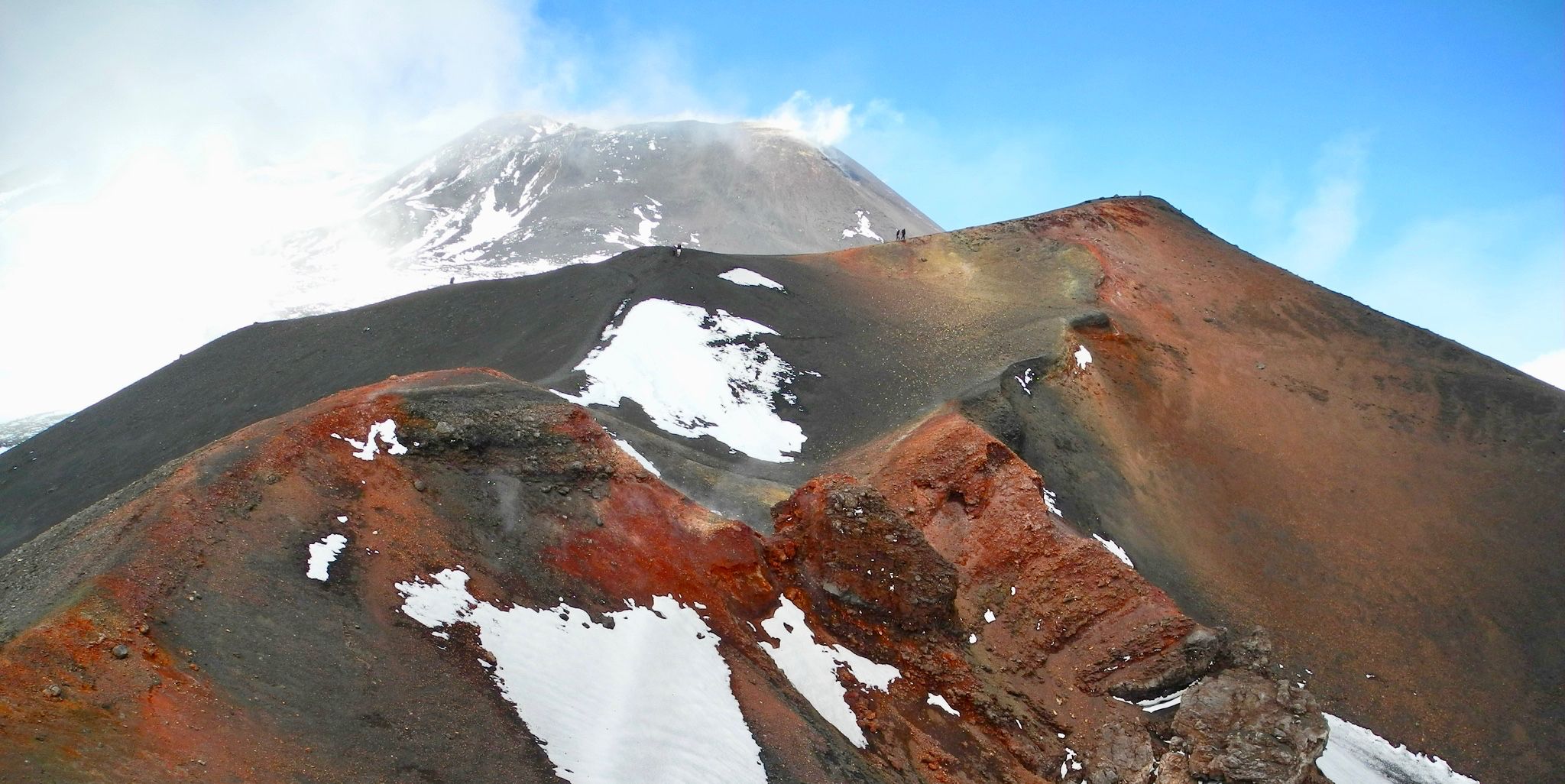
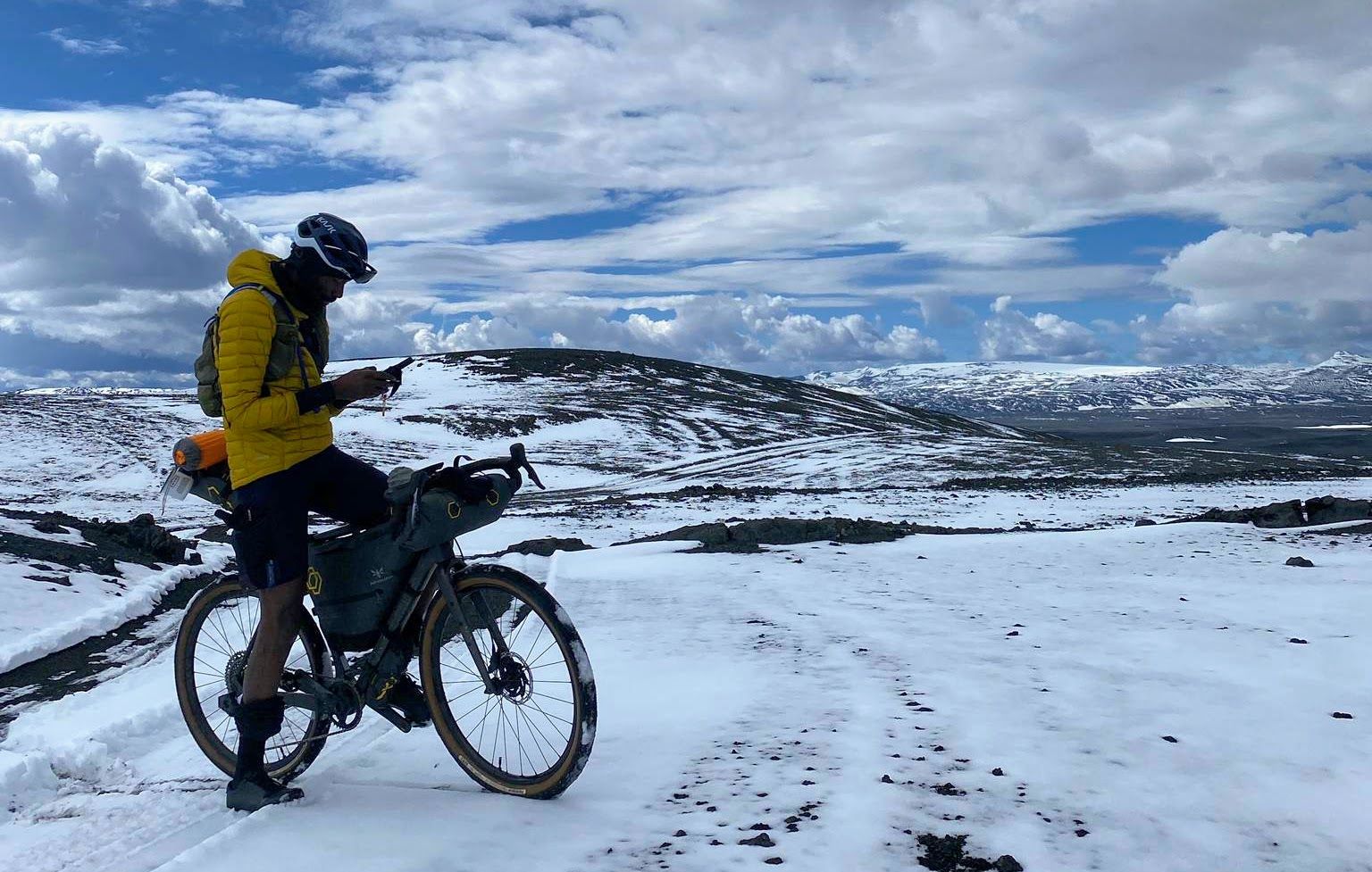
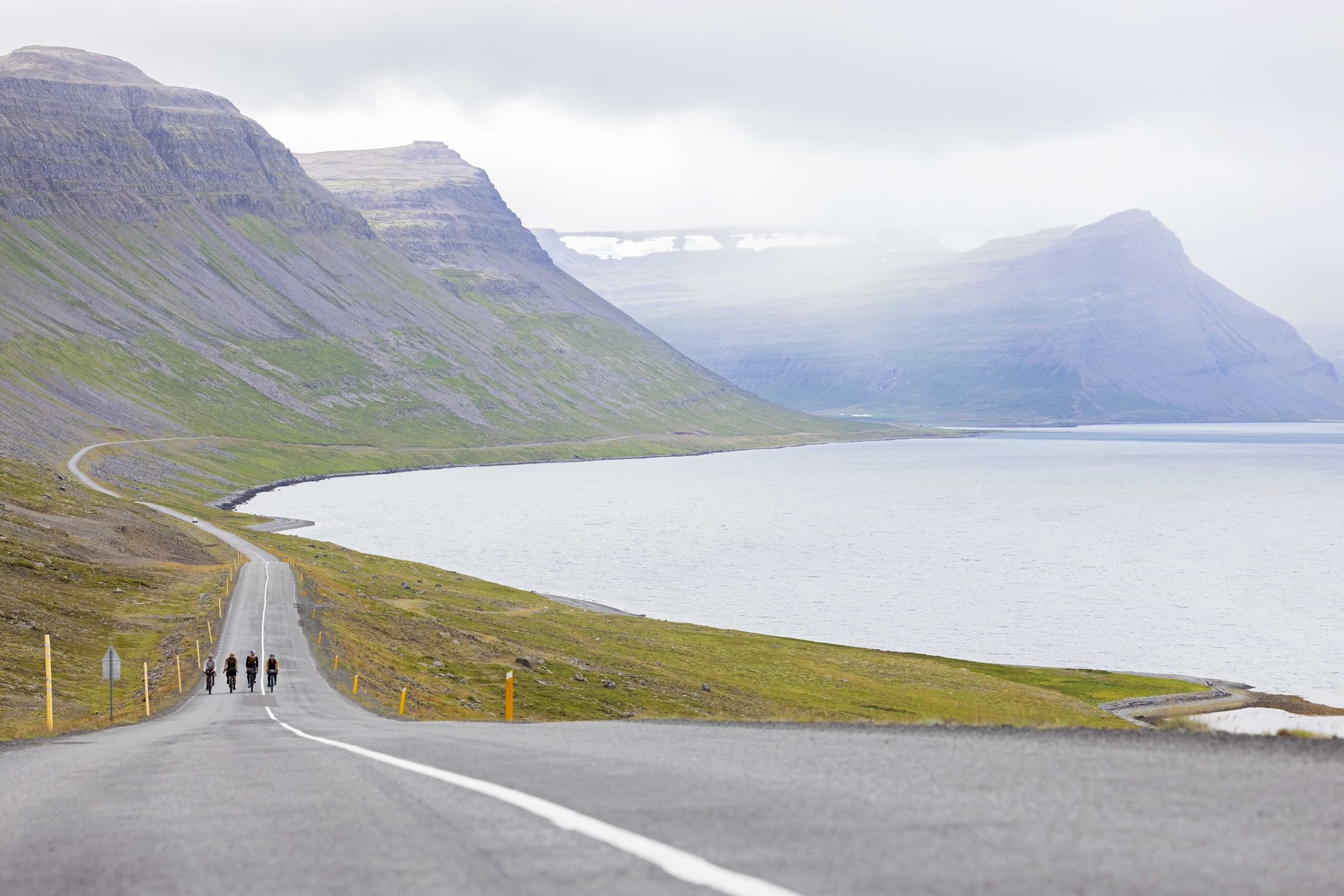
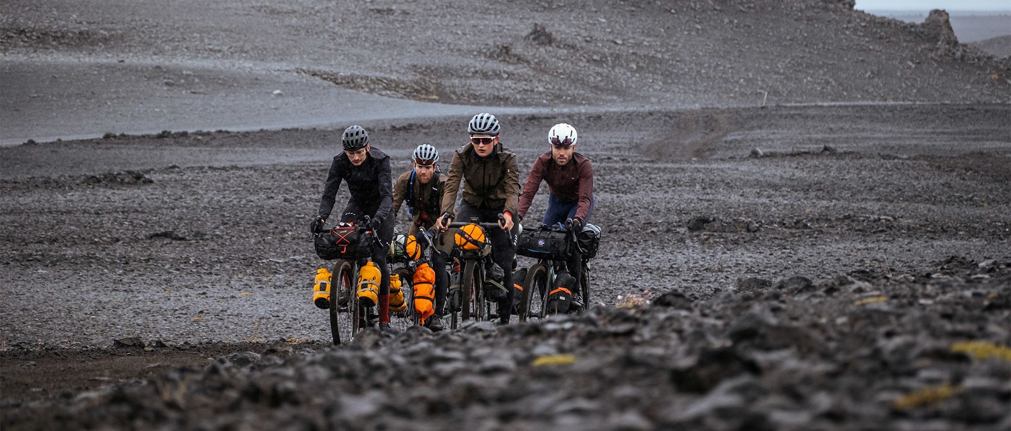
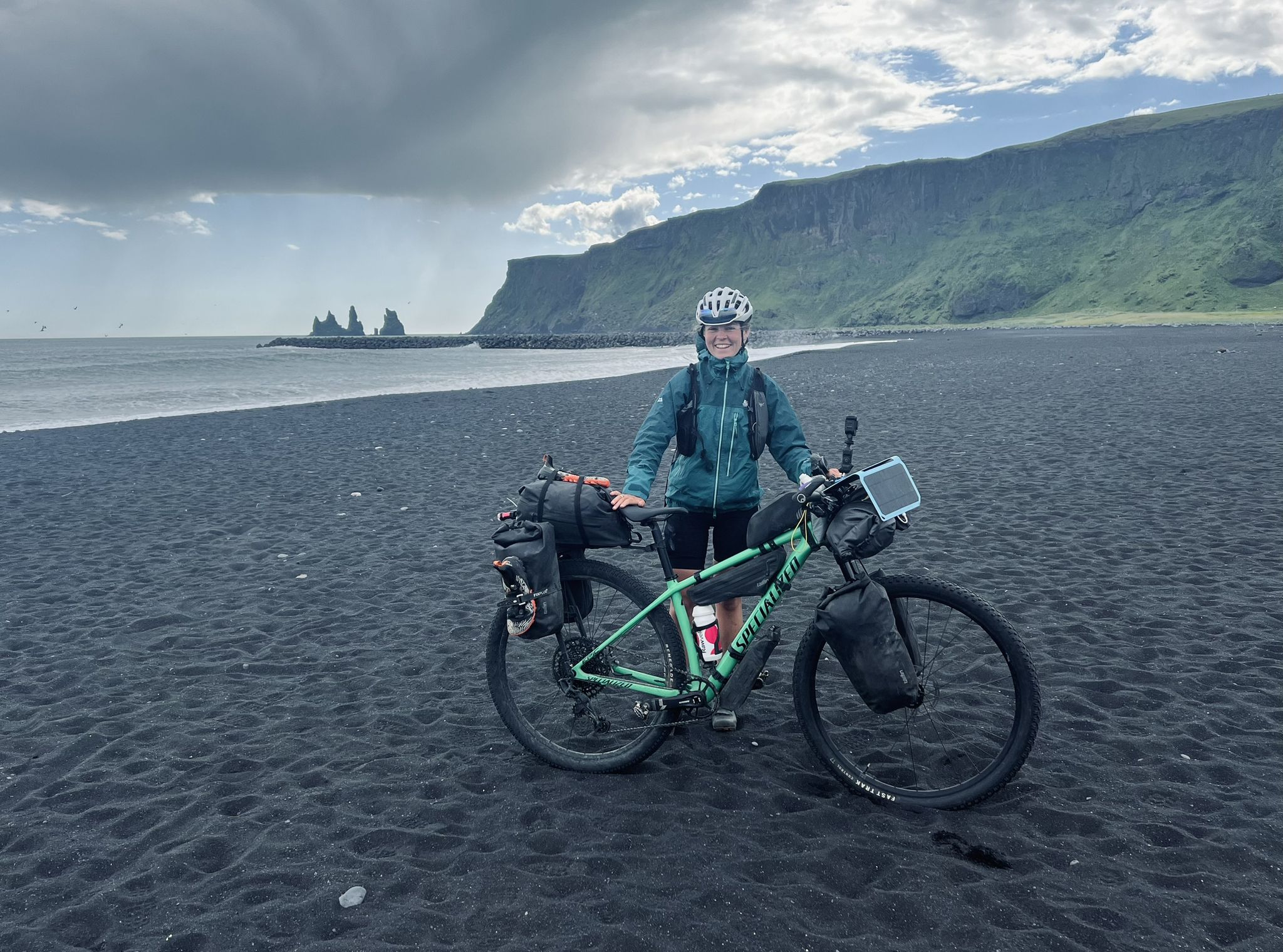
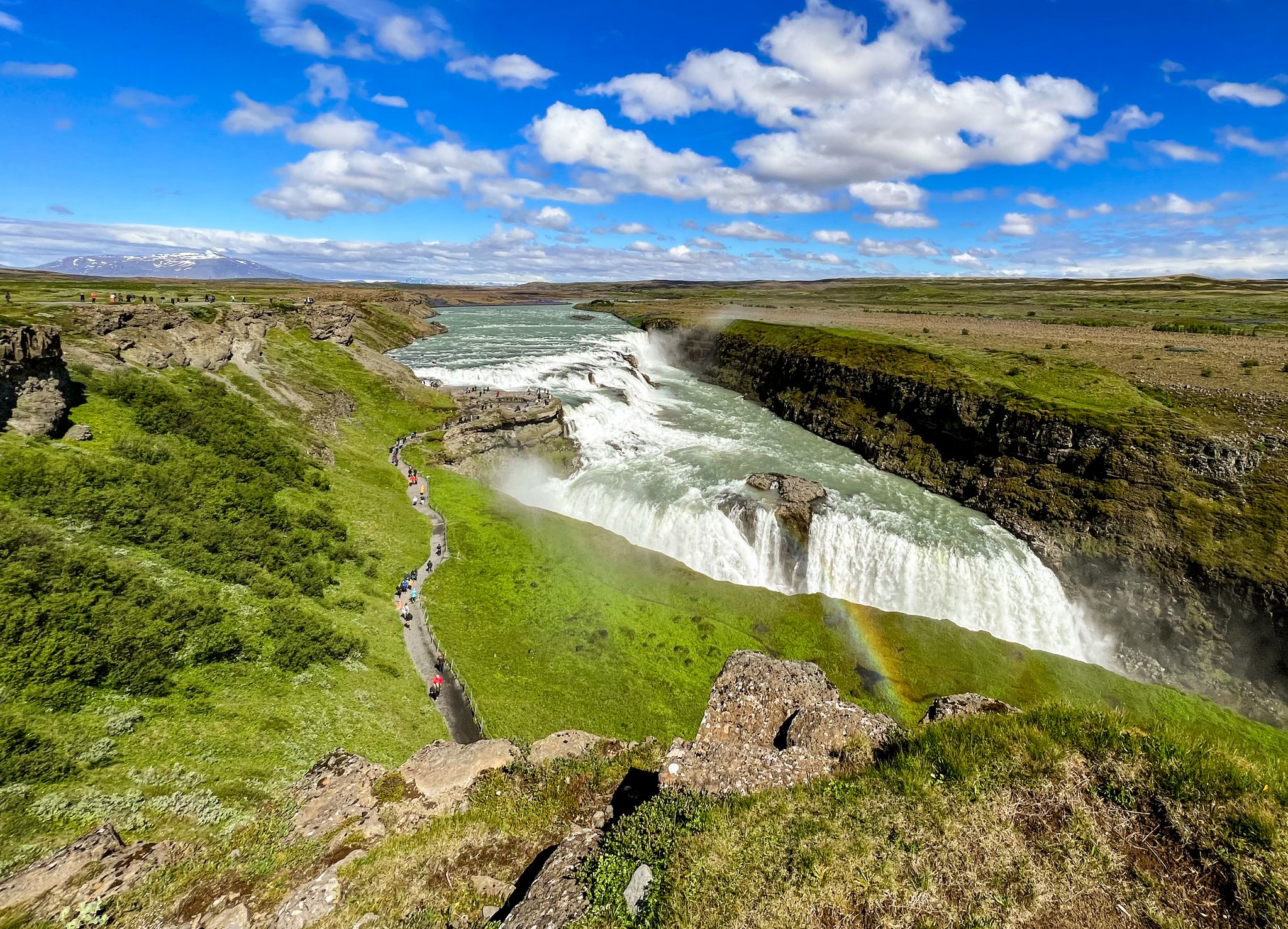
아이슬란드 산맥의 다른 모험


커뮤니티 팁


보행자 다리를 통해 한쪽에서 다른 쪽으로 빨리 건너갈 수 있습니다. 또한 아름다운 전망도 즐길 수 있습니다. 양쪽 모두 볼 만합니다 😊
2
0
셀랴란드스포스는 정말 특별한 것을 제공합니다. 세계에서 몇 안 되는 큰 폭포 중 하나로, 물 커튼 뒤로 들어갈 수 있습니다. 작고 다소 미끄러운 오솔길이 쏟아지는 물 뒤로 이어집니다. 사진작가들에게만 영감을 주는 것이 아닙니다. 아주 특별한 경험입니다. 운이 좋으면 환상적인 빛 속에서 포효하는 물을 감상할 수 있습니다.
1
0
폭포는 매우 볼만하며 방수 의류와 튼튼한 신발이 유용합니다. 😊 폭포 뒤로 가보는 것은 정말 멋진 경험입니다?
1
0

주차장(유료, Parka 앱으로 결제 가능)에서 셔틀버스 티켓을 구매하거나 전기 자전거를 대여할 수 있습니다. 하지만 이러한 서비스는 여름철에만 이용 가능합니다. 물론 걸어서 갈 수도 있습니다. 이 길은 일종의 자갈 사막을 통과합니다. 주차장에서 목적지까지 최소 45분이 걸립니다.
0
0

It's much quieter here by the lake than near the parking lots. It's also a lovely spot for a break with a beautiful view.
1
0

About halfway between Akureyri and Lake Mývatn lies the Goðafoss waterfall. Although only a modest 12 meters high, the thunderous cascade is impressive with its masses of water plunging across a wide gorge. The waterfall's edge was formed at the edge of the Frambruni lava flow, which erupted from the shield volcano Trölladyngja around 8,000 years ago and reached a length of 105 km. The waterfall's name is likely related to the Ljósvetninga saga. In the year 1000, the gode Þorgeir, as law speaker at the Þing meeting, ensured the adoption of Christianity as the official religion. He likely acted primarily for political reasons, fearing the timber embargo threatened by the Norwegian King Olaf if the Icelanders remained pagans. This, however, would have meant the end of vital shipbuilding. Relieved after the successful Þing session, Þorgeir sank his idols in the nearest waterfall, which has since been called Goðafoss, or Gods Waterfall.
0
0

🚶♂️ Dead Man Walking in Þingvellir Imagine: In the past, you didn't come here to hike, but because the Alþingi had decided that your final adventure awaited you – beheading, drowning, or hanging. A natural idyll with a twist. While today tourists stroll along the wooden walkways with selfie sticks, back then, condemned prisoners walked their final journey to Drekkingarhylur. "Wellness in a glacial stream" just sounded a little less relaxing back then. Who needs Game of Thrones when reality here in the 17th century was much more brutal?
0
0


더 살펴보기
다른 지역의 최고의 하이킹를 살펴보세요.
