싱발라바튼 최고의 워킹 & 하이킹 경로
4.5
(1723)
11,290
등산객
41
하이킹
싱발라바튼 최고의 하이킹과 워킹을 찾으시나요? 그렇다면 아름다운 아이슬란드 호수 주변에 있는 경로 컬렉션을 아래에서 살펴보세요. 싱발라바튼에 있는 하이킹 트레일 중에서 마음에 드는 곳을 선택해 언제든지 야외 활동을 하면 돼요.
마지막 업데이트: 10월 17, 2026
4.7
(561)
4,049
등산객
4.90km
01:18
50m
50m
초급용 하이킹. 모든 체력 수준에 적합. 실력과 관계없이 누구나 쉽게 갈 수 있는 길.
4.4
(148)
596
등산객
11.8km
03:04
80m
80m
보통 하이킹. 좋은 체력 필요. 실력과 관계없이 누구나 쉽게 갈 수 있는 길.

4.8
(6)
197
등산객
2.13km
00:34
30m
30m
초급용 하이킹. 모든 체력 수준에 적합. 실력과 관계없이 누구나 쉽게 갈 수 있는 길.
4.2
(20)
69
등산객
12.0km
03:07
80m
80m
보통 하이킹. 좋은 체력 필요. 실력과 관계없이 누구나 쉽게 갈 수 있는 길.
4.2
(10)
146
등산객
13.5km
03:31
90m
90m
보통 하이킹. 좋은 체력 필요. 실력과 관계없이 누구나 쉽게 갈 수 있는 길.
더 다양한 경로와 다른 탐험가들의 추천을 살펴보세요.
이미 komoot 계정이 있나요?
투어 추천은 다른 사람들이 komoot에서 완료한 수천 개의 활동을 바탕으로 구성되어 있습니다.
오늘 무료 계정으로 시작하세요
다음 모험이 기다리고 있어요.
싱발라바튼 주변 인기 장소
커뮤니티 팁


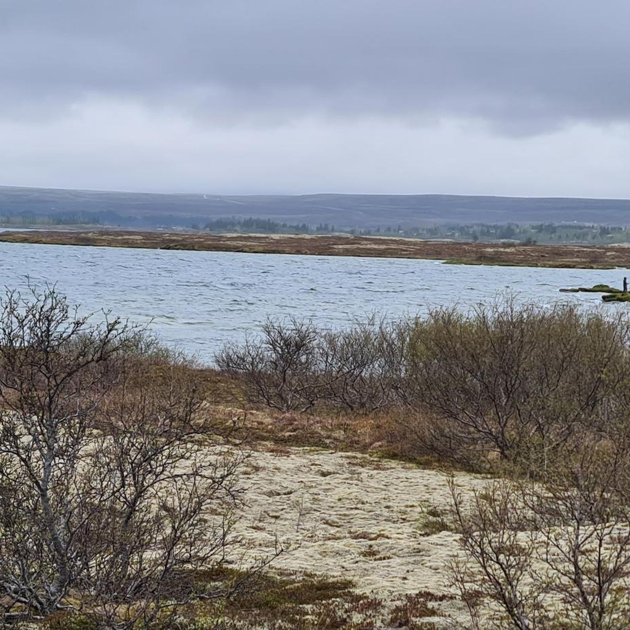
It's much quieter here by the lake than near the parking lots. It's also a lovely spot for a break with a beautiful view.
1
0
It's worth a look, but spending time taking a walk through nature away from the crowds is actually more interesting.
1
0

🚶♂️ Dead Man Walking in Þingvellir Imagine: In the past, you didn't come here to hike, but because the Alþingi had decided that your final adventure awaited you – beheading, drowning, or hanging. A natural idyll with a twist. While today tourists stroll along the wooden walkways with selfie sticks, back then, condemned prisoners walked their final journey to Drekkingarhylur. "Wellness in a glacial stream" just sounded a little less relaxing back then. Who needs Game of Thrones when reality here in the 17th century was much more brutal?
0
0

A beautifully designed circular trail with plenty to see. Definitely a visit!
0
0


Easily accessible and well-maintained wooden path that immediately immerses you in the impressive area around Pingvellir. Here, you can easily imagine the tectonic plates drifting apart.
0
0

The lake lies in the so-called Þingvellir Rift and is surrounded by four active volcanic systems: Prestahnúkur and Hrafnabjörg in the northeast, and Hengill and Hrómundartindur in the southwest. The lake is estimated to be about 12,000 years old, making it the first glacial lake to have formed at the end of the last ice age. It was initially a glacial lake. At the end of the last ice age, the glacier blocked the water's outflow. Eventually, the glaciers retreated, the land beneath the Hengill volcano rose, and the lake deepened.
1
0
싱발라바튼 주변에서 가장 인기 있는 경로


더 살펴보기
다른 지역의 최고의 하이킹를 살펴보세요.
