커스도르프에서 가장 멋진 20개의 산장 & 오두막집
산장은 야외 활동 하이라이트에 자주 등장하는 아이템이에요. 커스도르프에서 가장 멋진 오두막집과 통나무집을 아래에서 살펴본 후에 마음에 드는 오두막집/산장을 다음 모험 계획에 추가해보세요.
마지막 업데이트: 10월 2, 2026
에젤스베르크의 렌슈타이그 전망탑
하이라이트 • 전망대
번역자 Google •
팁에 의해


이런 장소를 발견하려면 지금 가입하세요
최고의 싱글 트랙, 봉우리 및 다양한 흥미로운 야외 장소에 대한 추천을 받아보세요.
아이스펠더 아우스판네
하이라이트 • 산장
번역자 Google •
팁에 의해

슈나이더펠젠 - 투어링 스탬프 169
하이라이트 • 전망대
번역자 Google •
팁에 의해

무료로 가입하여 커스도르프 주변의 더 많은 오두막과 캐빈을 발견하세요.
이미 komoot 계정이 있나요?
오늘 무료 계정으로 시작하세요
다음 모험이 기다리고 있어요.



커뮤니티 팁

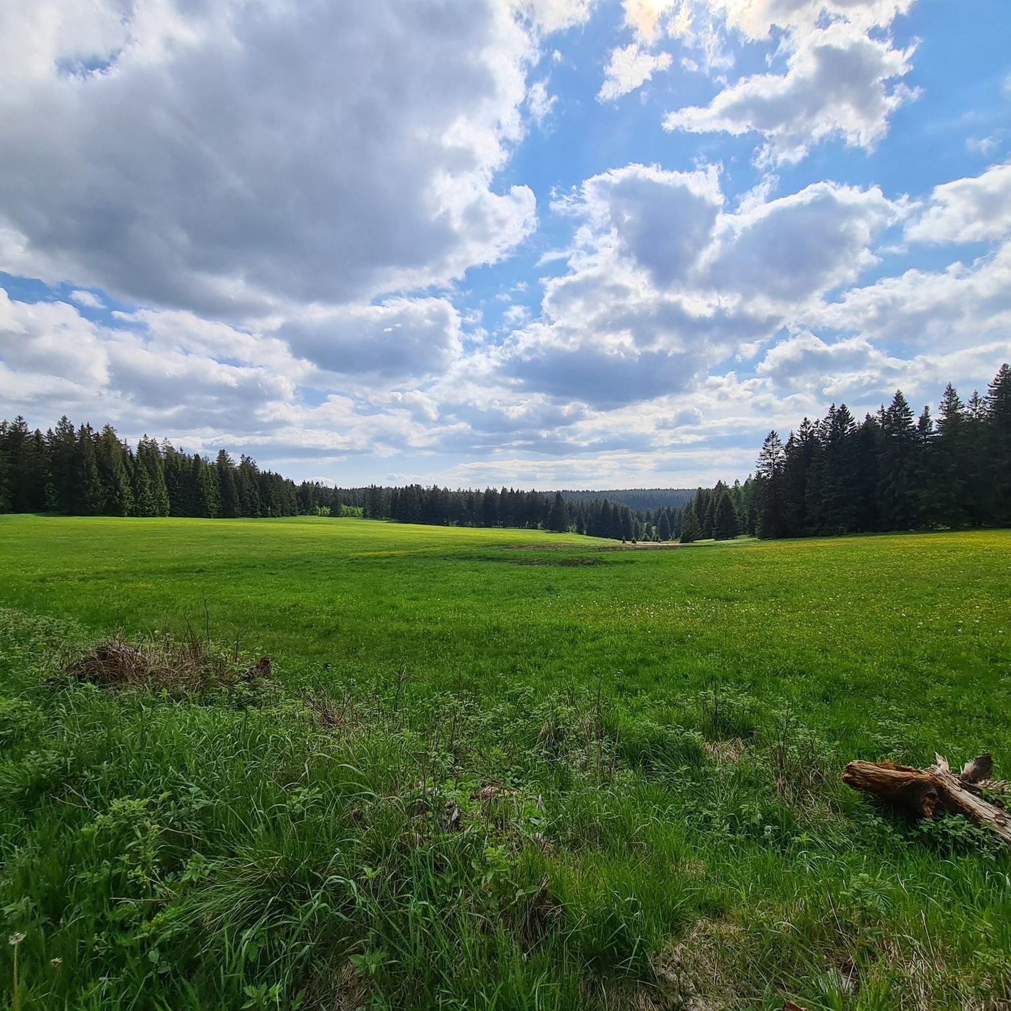
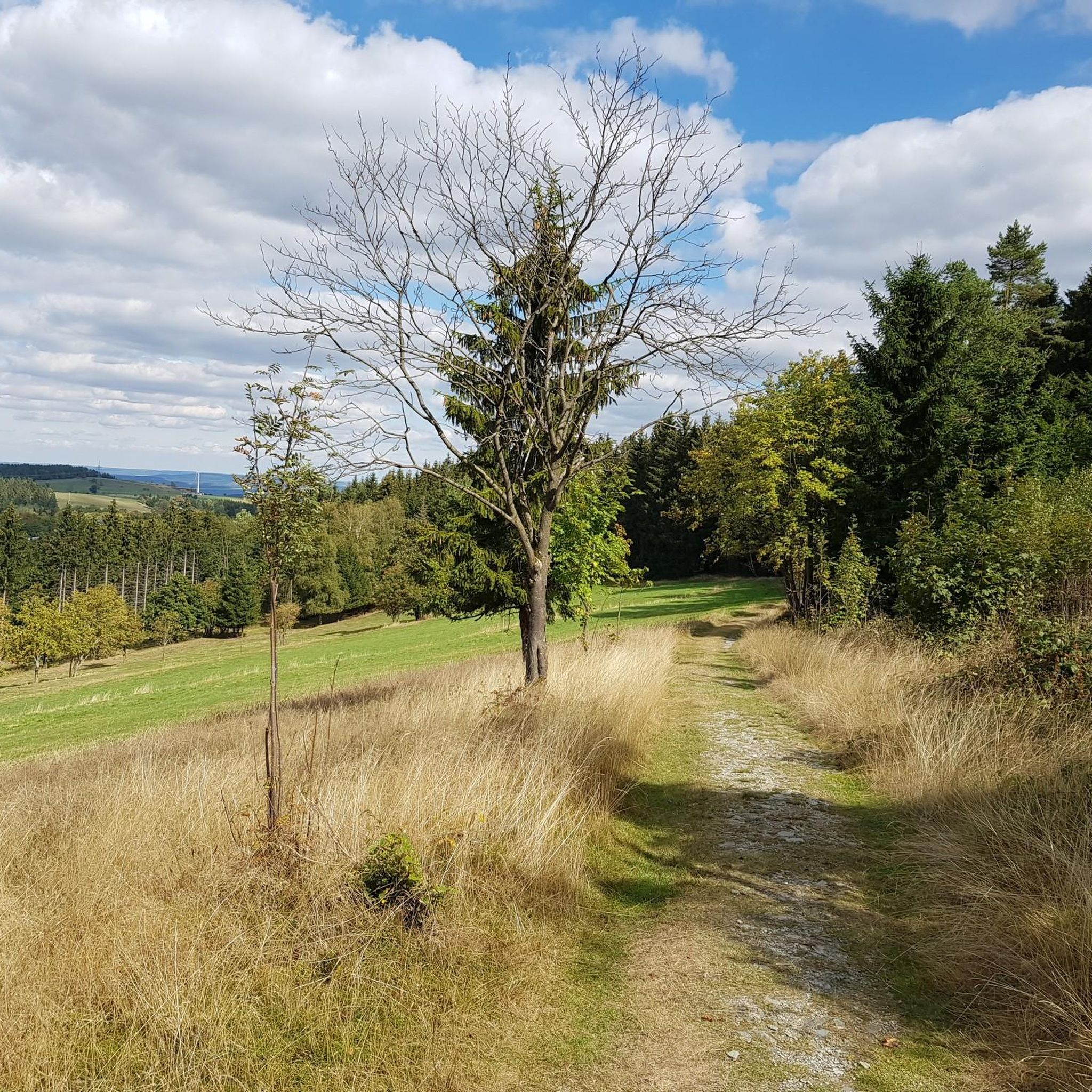
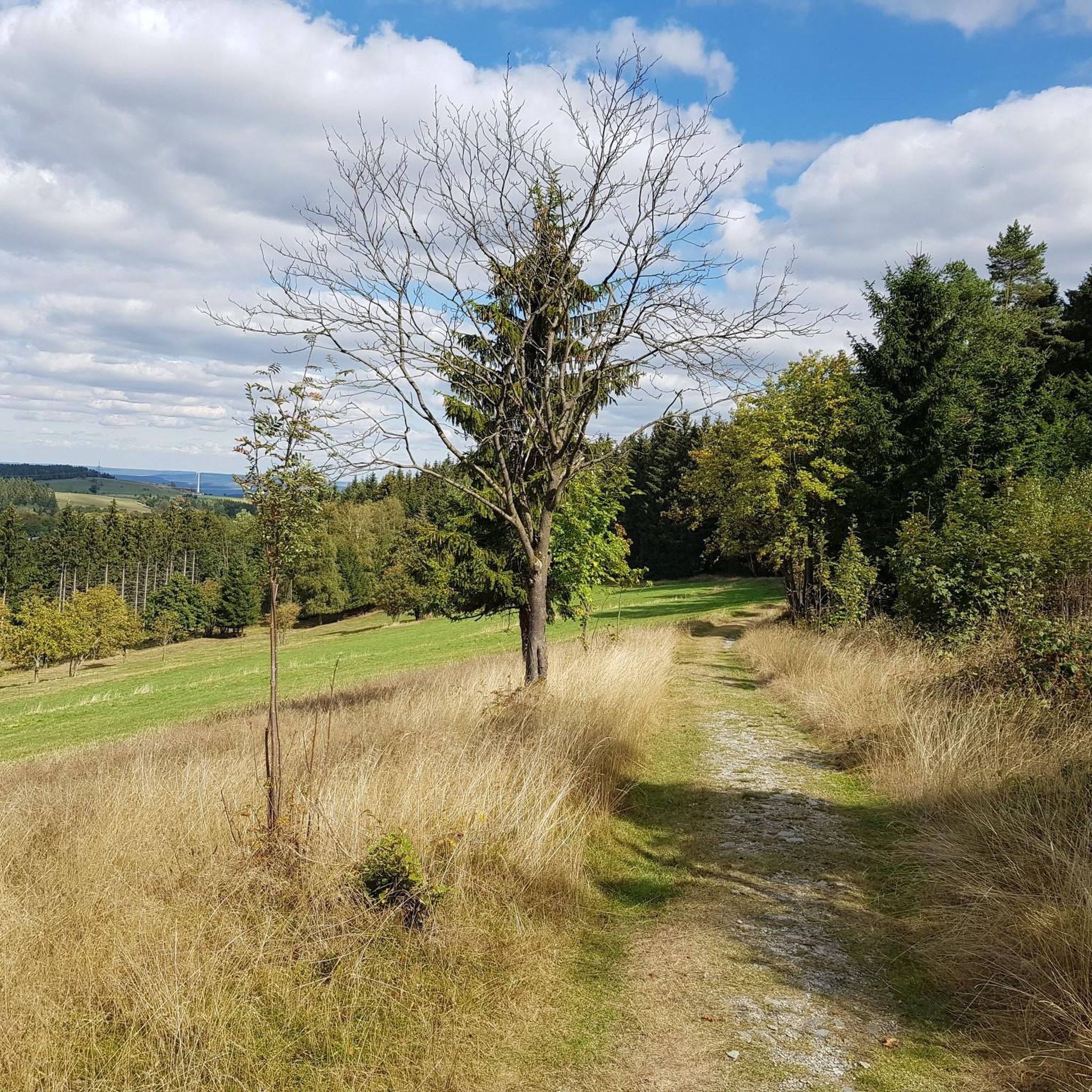
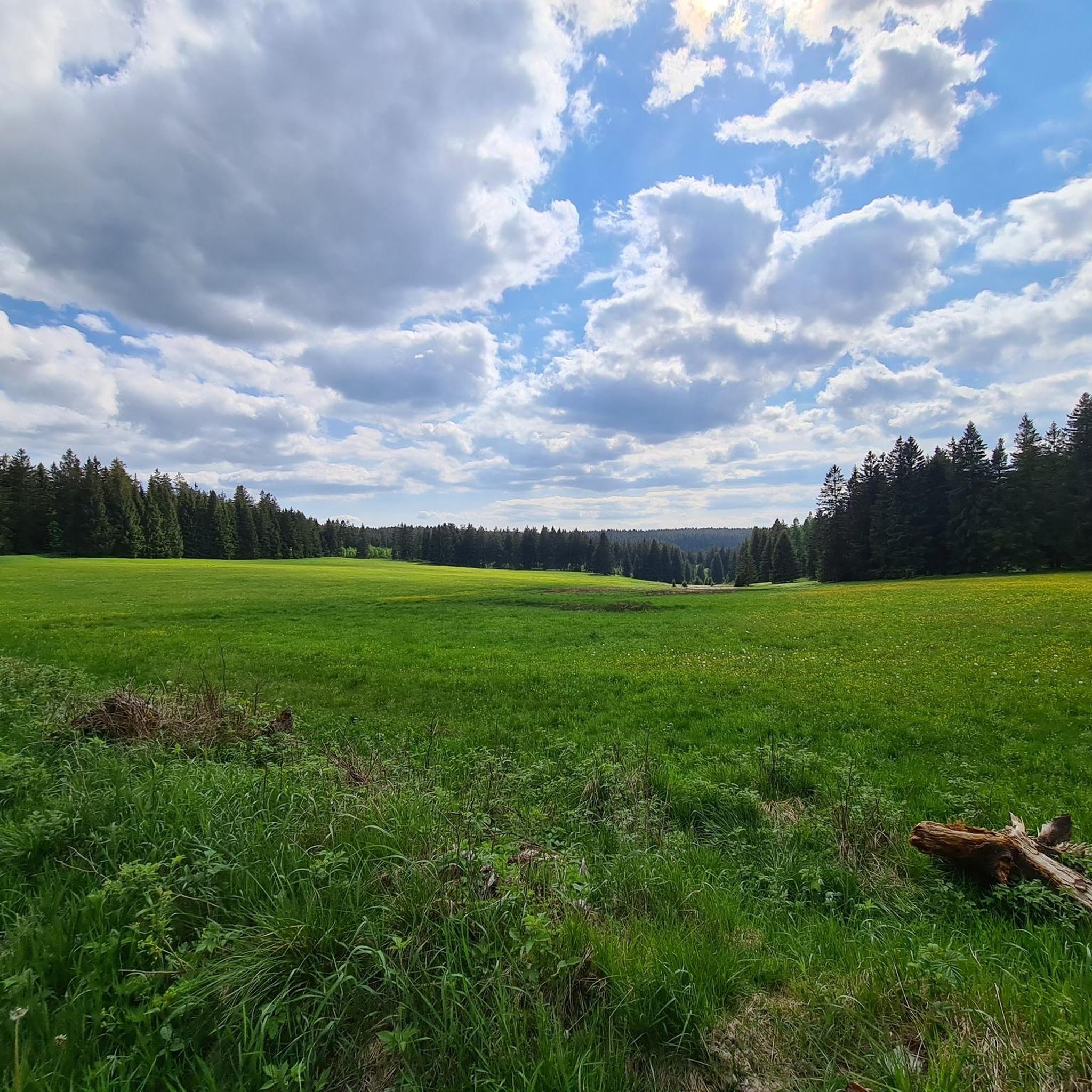
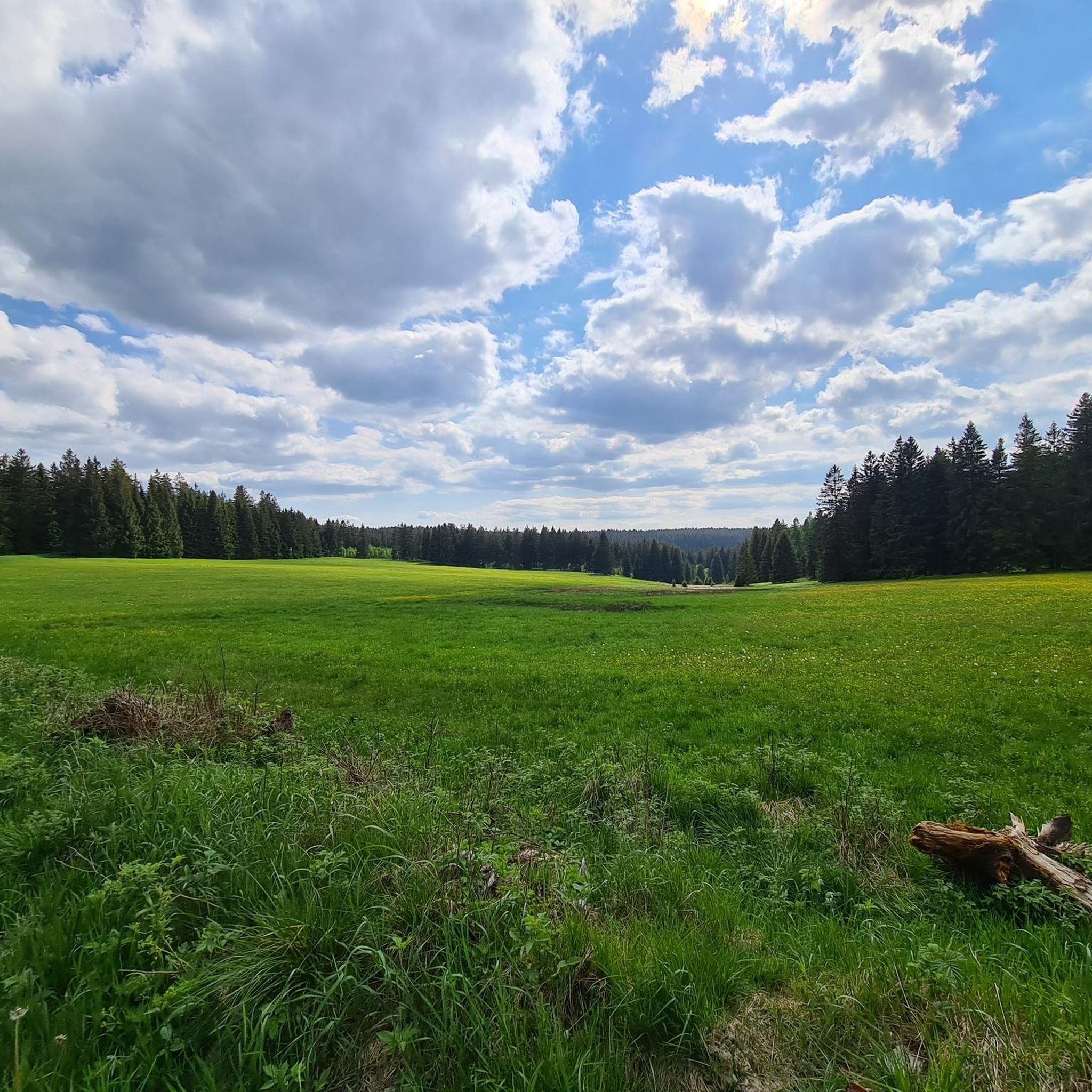
튀링거 숲의 중심부에 위치한 아이스펠더 아우스판네는 등산객과 자연 애호가들에게 진정으로 목가적인 휴식 장소입니다. 울창한 숲과 풍부한 역사로 둘러싸인 이 하이킹 명소는 가치 있는 휴식을 취하기에 완벽한 장소입니다. 아이스펠더 아우스판네를 방문했을 때 저는 즉시 그곳의 차분하고 평화로운 분위기에 사로잡혔습니다. 쉼터는 비바람을 피할 수 있는 장소와 휴식을 제공하며, 잘 보존된 "마일 블록"은 그곳의 역사를 들려줍니다. "아우스판네"라는 이름은 튀링거 숲 능선의 힘든 횡단을 위해 이곳에서 말의 짐을 풀던 전통에서 유래했습니다. 아이스펠더 아우스판네는 렌슈타이크의 중요한 교차로이며 등산객들에게 다양한 경로 옵션을 제공합니다. 마서베르크나 바펜로트에서 오든, 베라 수원지를 방문하든 – 이곳은 수많은 하이킹을 위한 이상적인 출발 또는 도착 지점입니다. 장소 자체에는 많은 벤치와 테이블이 마련되어 있어 긴 휴식을 취하기에 매력적인 장소입니다. 이곳에서 휴식을 취하고 숲의 고요함을 즐기며 다음 여정을 위해 힘을 얻을 수 있습니다. 또한 경험을 교환하고 아름다운 주변 환경을 즐기는 등산객들에게 인기 있는 만남의 장소이기도 합니다.
7
1

This is a special point! Three large river systems meet here. However, this is not unique in Germany. I liked the design of the place.
10
2
The Eisfelder Ausspanne is a large crossroads with a refuge.
12
2

Yes, you can relax here. In historical times, the horses that had been harnessed before the steep ascent to the ridge were unharnessed here. Therefore the name. From here you continue to the Werraquelle or the Eselsberg, if you want, turn off in the direction of Goldisthal beforehand.
18
1

Has the charm of a war memorial, only with eternal water instead of an eternal flame.
51
0


The Schwarza spring rises 4 kilometers from Neuhaus am Rennweg and 250 m from the Rennsteig, at an altitude of 717 m. The spring water, which rises from a crack between slate and red sandstone, always has a constant temperature of around 6 degrees Celsius both in midsummer and in winter, which is often icy here. The spring was set in in 1855. In the meantime, however, the spring has looked for another way up and rises about 2m away from the source. In the further course, she looks for her own way (Fig. 4). In spring, a stream already flows past the Schwarzaquellhütte above the Schwarza spring. After 300 m the Schwarza joins the Habichtsbach, which at the confluence has already covered twice as much distance from its source. In the further course the Schwarza flows through the partially deeply cut Schwarzatal until it flows into the Saale after 53 kilometers in the Rudolstadt district of Schwarza. After more than 200 kilometers, the Saale flows into the Elbe at Barby. This makes the Schwarza part of the Elbe's catchment area, as does the previous "River Landscape of the Year", the Havel. The catchment area of the Schwarza and its tributaries covers a total of 507 square kilometers. The Schwarza has many natural stretches of water. Source: http://www.schwarza-fluss.de/schwarza.htm
12
0
Dreistromstein - dreifache Wasserscheide - 108,25 km ab Hörschel - (60,05 km ab Blankenstein) - 812 m ü.NN - Dreistromstein - Dreiherrenstein am Saarzipfel - Soldatengräber Das hier am Saar besonders reichlich fallende Niederschlagswasser fließt – einmalig in Deutschland – sogleich drei verschiedenen Strömen zu: Der Elbe, dem Main und dem Rhein. Auf engbegrenztem Gebiet entspringen nämlich im Schatten des Hochwalds drei Wildbäche, einer kaum 500 m vom andern, der Rambach, der nach Norden zur Schwarza in den Elbebereich hinabrinnt, die Grümpen, ein Nebenbach der zum Main hinstrebenden Itz, und das Türkengründlein, welches nach seiner Vereinigung mit dem Mutzgründlein die Saar bildet und als erster bedeutenderer Zufluss die junge Werra (Weser) verstärkt. Einbeziehung ihres Gebiets, so musste die Anlage statt auf dem Saar gleich daneben, auf dem meiningischen Forstort Rattelsberg, errichtet werden. Das Denkmal besteht aus einer dreiseitigen Sandsteinpyramide, die sich aus einem massiven Untergrund von rundlicher Form erhebt, gebildet aus typischen Gesteinen der jeweiligen Stromgebiete (Elbe: Granit, Rhein: Quarz, Weser: Grauwacke). Auf den Seitenflächen der Pyramide sind die Namen der oben erwähnten Bächlein nebst denen der sie aufnehmenden größeren Gewässer eingraviert. Darunter die Namen der Staaten, deren Grenzen und Hoheitsgebiete sich ehemals an diesem Punkte berührten: Schwarzburg-Rudolstadt, Sachsen-Meiningen-Coburg (als Nachfolger der reichsunmittelbaren Herrschaft Schaumberg) und Sachsen-Hildburghausen. Dreistromstein Dreistromstein Dreistromstein Die Einweihungsfeier begann am 7. Juni 1906 früh um 08:00 Uhr. Aus Limbach kamen die Mitglieder des Rennsteigvereins, dort hatte gerade ihre Jahreshauptversammlung stattgefunden. Fürsteher Ludwig Hertel erteilte zunächst Herrn Kümpel das Wort, nach dessen Rede wurde die Stiftungsurkunde verlesen. Ihr Wortlaut war folgender: "Gemein derer Renner uf dem Waldhûz. Quelle: http://www.rennsteigverein.de/dreistromstein.html
11
2
커스도르프 주변에서 가장 인기 있는 명소


더 살펴보기
이 근처의 최고의 오두막과 캐빈을 확인하여 커스도르프 주변의 더 아름다운 장소를 찾아보세요:
