20의 노펠덴가지 명소 & 주요 장소
노펠덴에는 둘러볼 만한 장소가 많답니다. 하이킹 또는 사이클링을 좋아한다면 노펠덴에 숨겨진 20
가지 보석을 만날 수 있을 거예요. 이 지역의 주요 명소를 살펴보면서 다음 모험을 계획해보세요.
마지막 업데이트: 9월 12, 2026
켈트족 성벽(훈넨링)의 돌계단
하이라이트 • 역사적 장소
Be careful the steps are uneven!
번역자 Google •
팁에 의해

돌베르크 — 자르란트에서 가장 높은 지점
하이라이트 • 정상
The incredible 'silence' of nature and the fairytale character of the immediate surroundings make this summit - which …
번역자 Google •
팁에 의해

이런 장소를 발견하려면 지금 가입하세요
최고의 싱글 트랙, 봉우리 및 다양한 흥미로운 야외 장소에 대한 추천을 받아보세요.
댐에서 바라본 보스탈제 전망
하이라이트 • 전망대
번역자 Google •
팁에 의해


무료로 가입하여 노펠덴 주변의 더 많은 명소를 발견하세요.
이미 komoot 계정이 있나요?
오늘 무료 계정으로 시작하세요
다음 모험이 기다리고 있어요.
노펠덴 주변 인기 장소
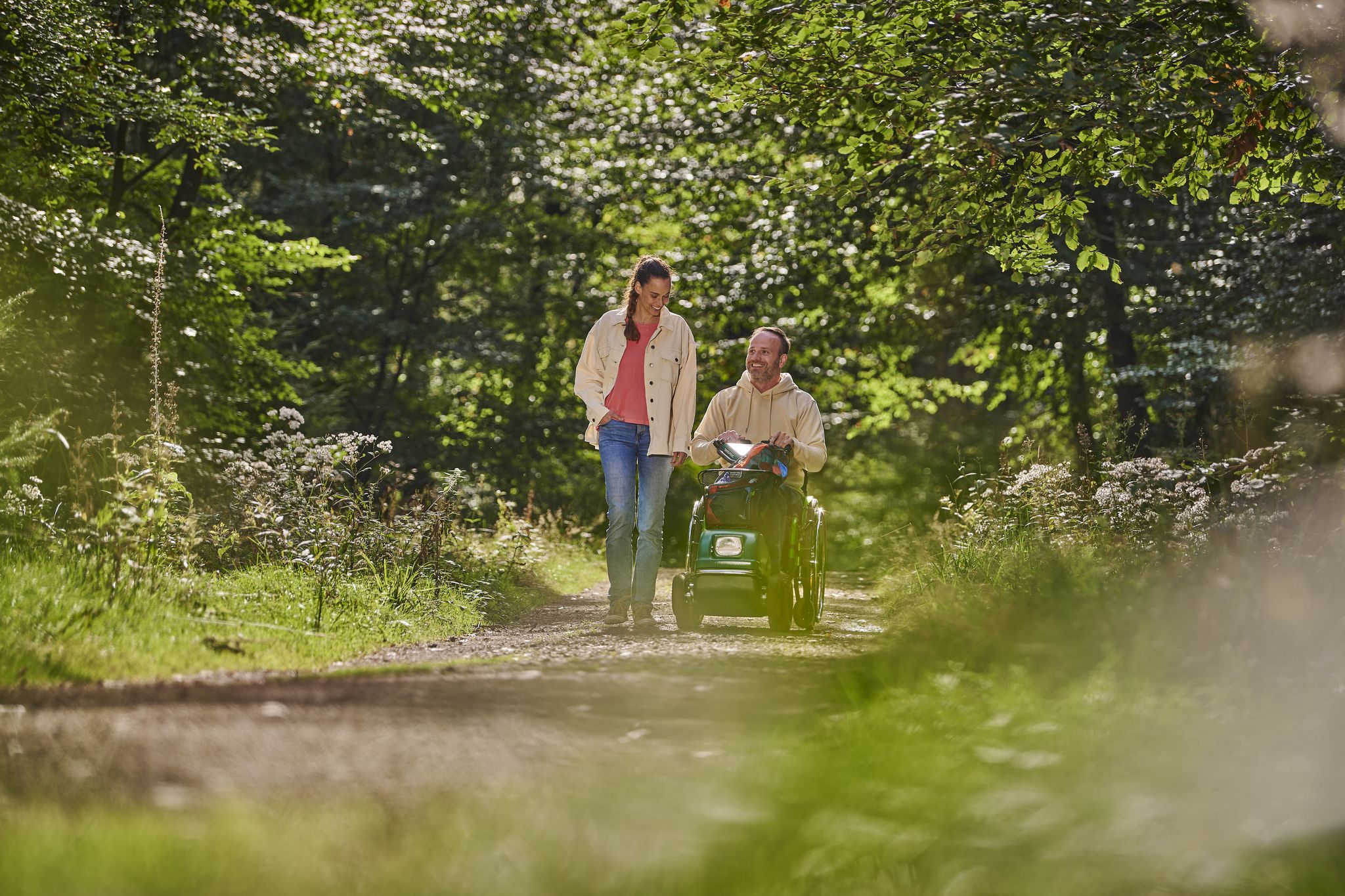
Experience nature without detours - barrier-free adventures in Saarland
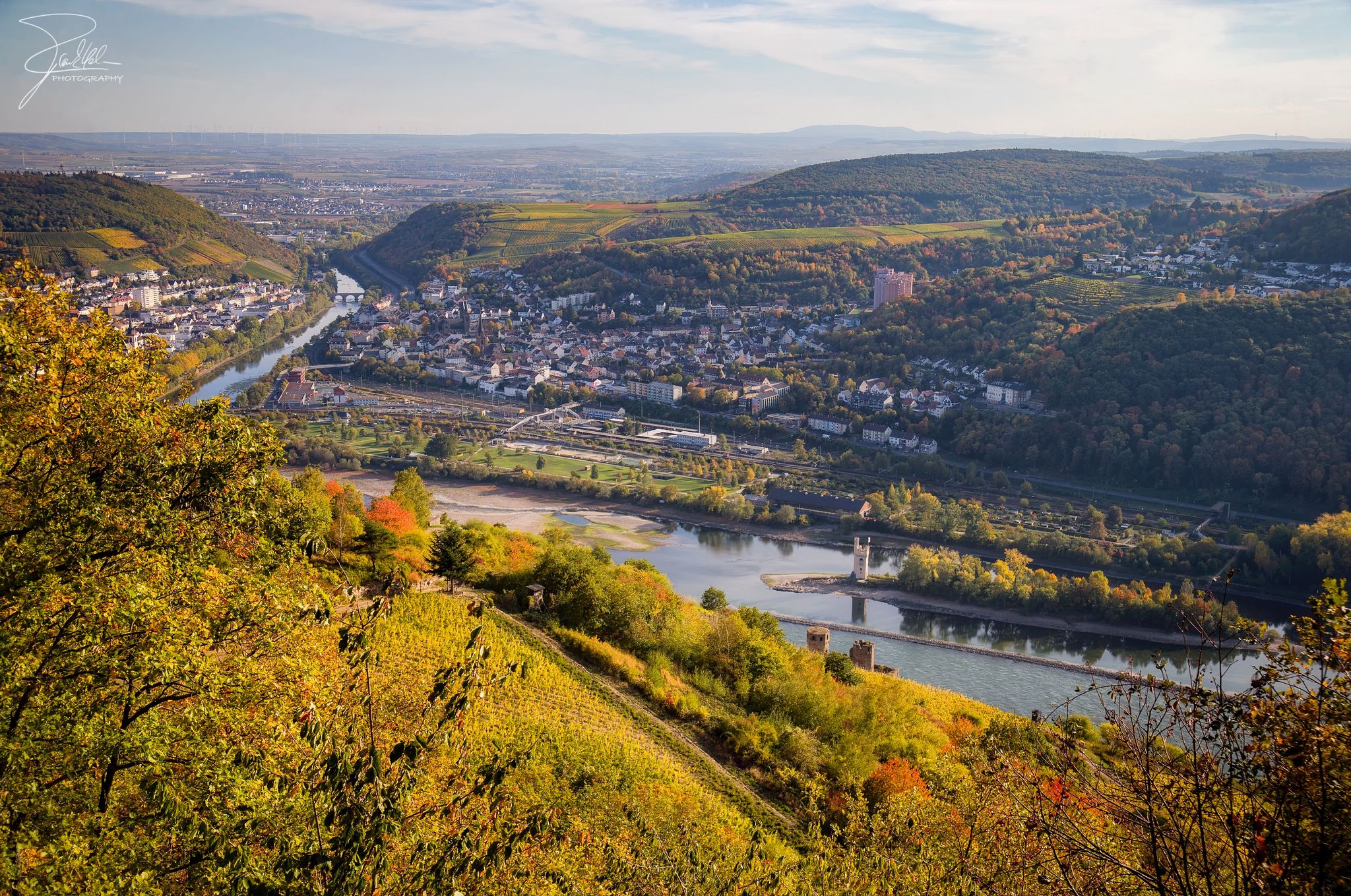
바위와 포도밭 사이 - 나헤 자전거 길
공제 대한니다 - 7일 스타리스 제도 시작 이름
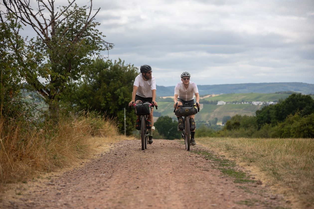
Saarland Gravel Loop: a three-border bikepacking tour

가장 낮은 것부터 가장 높은 것까지 (L2H) 독일

Countless trails, nature & history – hiking in Saarland
Cycling pleasure in Birkenfeld Land

햇살이 좋은 주말을 위한 33개의 호수
The best swimming lakes in Rhineland Palatinate and Saarland
노펠덴 하이킹
노펠덴 주변의 다른 모험


커뮤니티 팁

The highest point in Saarland is located in a very quiet forest. Without the sign you probably wouldn't notice it.
8
0

Great wide view and you save meters in altitude because you don't have to go down into town. Makes the rail cycle path really great.
4
0

The Dollberg is 695 m above sea level. NN is the highest mountain in Saarland and belongs to one of the prominent mountain ranges in the high forest. These stretch as ridges running from southwest to northeast from the Saar to the Rhine. The ridges consist of quartzite, which in turn has its origin in sandstone. This was finally transformed into quartzite by pressure and high temperatures during the folding of the mountains in the Devonian. Due to its hardness, it is comparatively weather-resistant. As the surrounding, softer rock was eroded, the quartzite deposits were preserved as ridges. A beautiful hiking destination and, as the highest "mountain" in Saarland, of course also a highlight here in the region. https://www.naturpark.org/natur-und-kultur/natur/geologie/geopunkte-devon-permokarbon-nonnweiler-und-zuesch/dollberg
8
0

Traveling to all 16 peaks in the federal states, it is very interesting to see how differently the states deal with their highest peaks. Perhaps the term "natural" fits quite well here
10
0

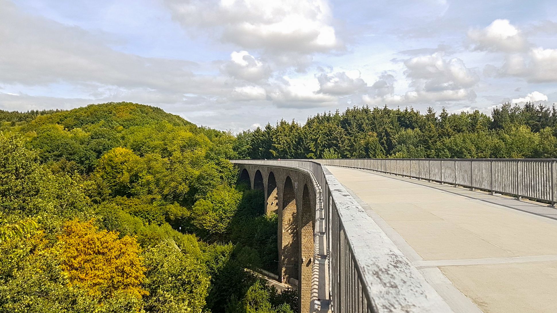
All crossings of a traffic route over another traffic route, over water or over lower-lying terrain are considered bridges if their clear width between the abutments is 2.00 meters or more. Definition according to DIN 1076, in relation to "engineering structures in the course of roads and paths - monitoring and testing" from the traffic bulletin document no. B 5276 version 07/97 personal note1: yes, there is a bridge here, not pretty but a bridge.... personal note2: I wrote this tip when the highlight was still called "Bridge" because the adjuster had slapped it carelessly.
7
2

Oberkirch Viaduct from the former railway line. Fritz Wunderlich bike path.
4
0

Hello Nice circular route, easy Going is also recommended for people with mild disabilities.
6
0

𝑺𝒕𝒊𝒍𝒍𝒍𝒆𝒈𝒖𝒏𝒈 𝒅𝒆𝒓 𝑩𝒂𝒉𝒏𝒍𝒊𝒏𝒊𝒆 𝒏𝒂𝒄𝒉 𝒏𝒖𝒓 𝟑𝟑 𝑱𝒂𝒉𝒓𝒆𝒏 𝑩𝒆𝒕𝒓𝒊𝒆𝒃𝒔𝒛𝒆𝒊𝒕 𝟐𝟏.𝟎𝟓.𝟏𝟗𝟓𝟓 - On the grounds of insufficient use “the passenger traffic Freisen-Schwarzerden was shut down. 𝟑𝟏.𝟎𝟓.𝟏𝟗𝟔𝟗 - Passenger traffic from Türkismühle-Freisen and freight traffic from Freisen-Schwarzerden were shut down. 𝟏𝟗𝟔𝟗 - Dismantling and dismantling of the tracks. 𝟏𝟑.𝟎𝟖.𝟏𝟗𝟔𝟗 - Suggestion to open the railway bridge as a vantage point. 𝟏𝟗𝟕𝟎 - A license agreement has been concluded with the Federal Railroad. 𝟏𝟔.𝟎𝟓.𝟏𝟗𝟕𝟏 - Approval of the valley bridge as a vantage point by the former Saarland Prime Minister Dr. Roeder 𝟏𝟗𝟕𝟕 - The bridge had to be closed due to renewal of the defective bridge railingBr 𝟏𝟔.𝟎𝟓.𝟏𝟗𝟖𝟏 - The bridge has been released again. 𝟏𝟗𝟗𝟑 - The bridge had to be closed again for a few months due to renovation work. 𝟐𝟕.𝟎𝟖.𝟏𝟗𝟗𝟑 - The official opening and handover of the now completed (24 km long) "Fritz-Wunderlich" bike and hiking trail from Freisen-Oberkirchen-Kusel 𝟏𝟗𝟗𝟔 - The viaduct is included in the list of monuments of the State Conservatory Office. Source: Text information board
11
1


