경로

플래너

기능

업데이트

App

로그인 또는 가입

앱 다운로드

로그인 또는 가입

로그인 또는 가입

경로
Places to see
독일
자를란트
세인트 웬델

남본

20의 남본가지 명소 & 주요 장소


남본에는 둘러볼 만한 장소가 많답니다. 하이킹 또는 사이클링을 좋아한다면 남본에 숨겨진 20
가지 보석을 만날 수 있을 거예요. 이 지역의 주요 명소를 살펴보면서 다음 모험을 계획해보세요.

마지막 업데이트: 5월 25, 2026

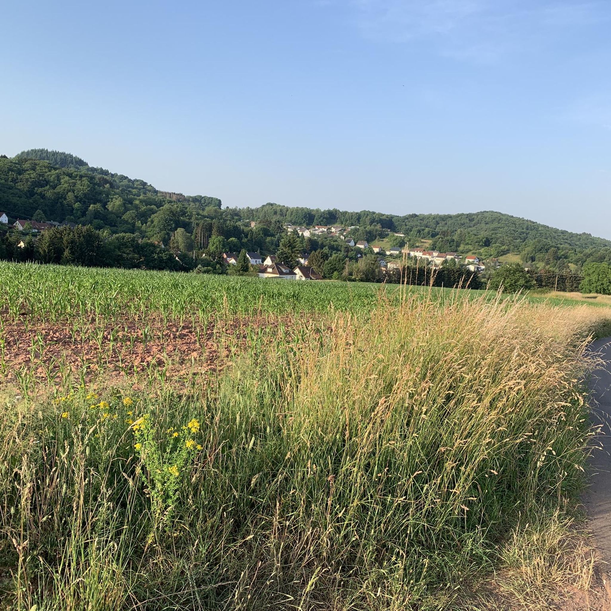
댐에서 바라본 보스탈제 전망

하이라이트 • 전망대

The Bostalsee is a reservoir in the municipality of Nohfelden in northern Saarland, which was accumulated in 1979. The dam has a length of 500 meters. The lake is almost …

번역자 Google •

에 의해

라이딩 보기

휴대폰으로 전송

저장

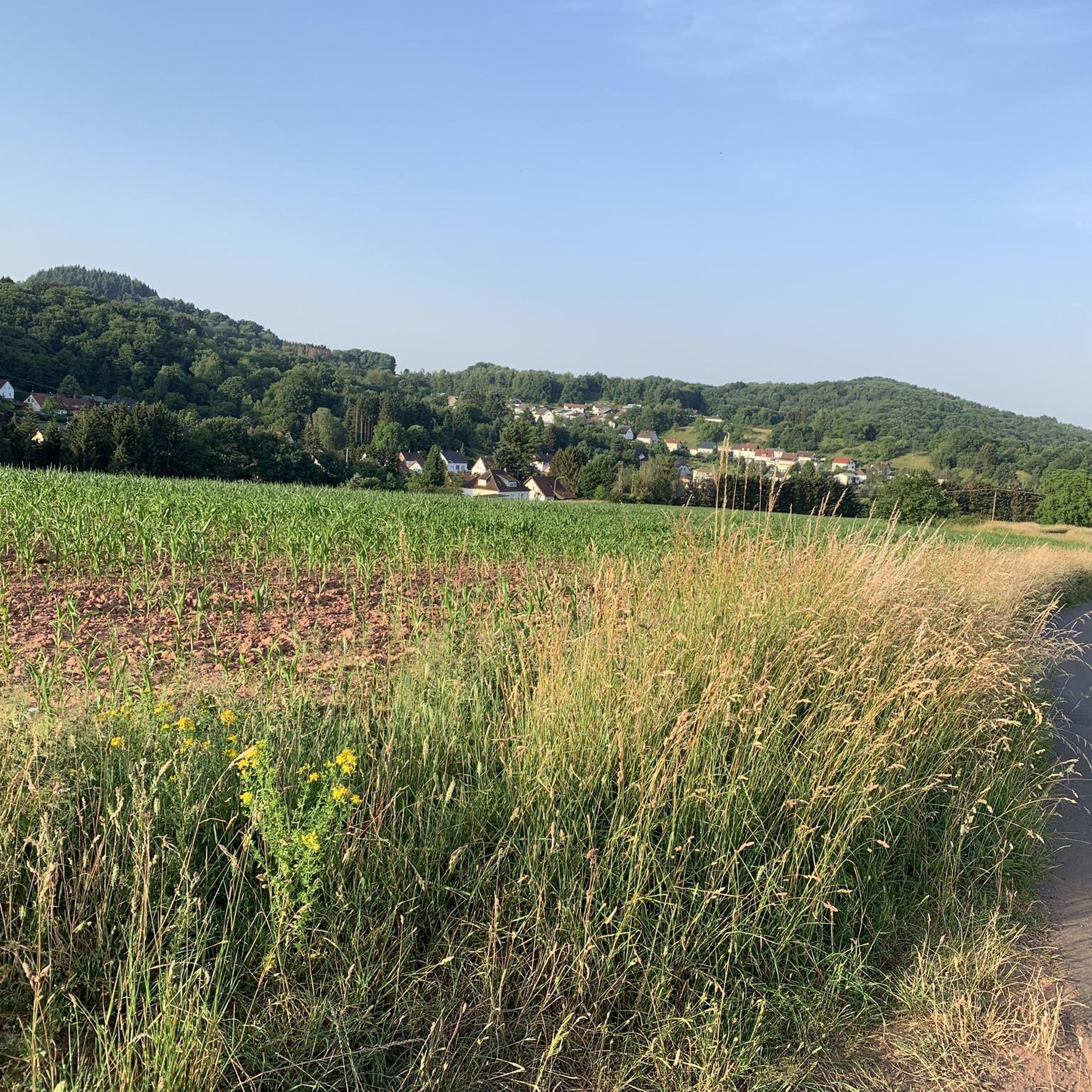
보스탈제 호수

하이라이트 • 호수

Lake Bostalsee was dammed in 1979 and is now a popular destination for hikers, sun worshippers, and water sports enthusiasts. Located in the Saar-Hunsrück Nature Park, the lake is the largest artificial recreational lake in southwest Germany.

번역자 Google •

에 의해

저장

이런 장소를 발견하려면 지금 가입하세요

최고의 싱글 트랙, 봉우리 및 다양한 흥미로운 야외 장소에 대한 추천을 받아보세요.

무료 회원 가입

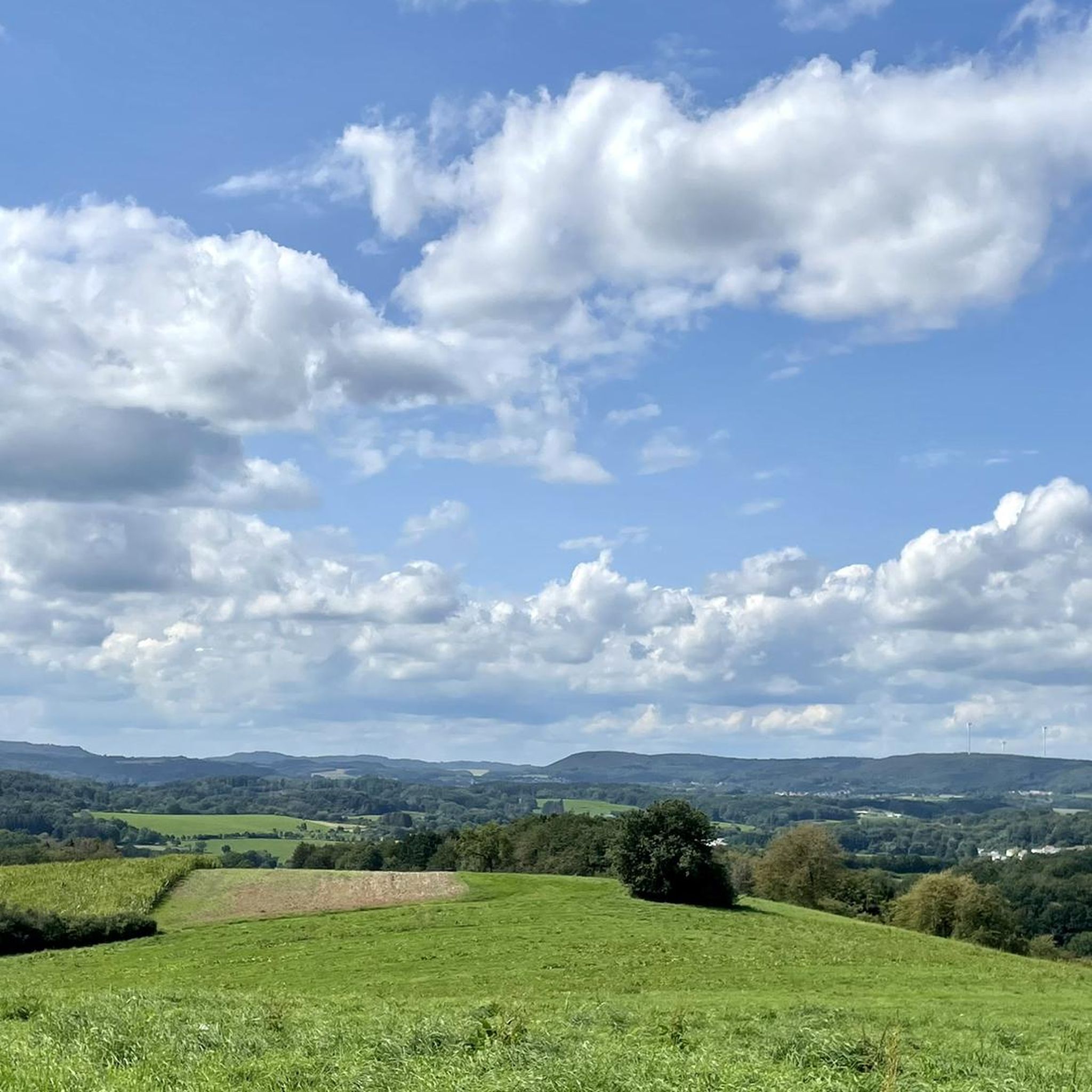
보스타제 호수

하이라이트 • 호수

The lake is always a highlight on a MTB tour.

번역자 Google •

에 의해

저장

오버키르헨 교량

하이라이트 • 다리

𝐓𝐚𝐥𝐛𝐫ü𝐜𝐤𝐞 𝐎𝐛𝐞𝐫𝐤𝐢𝐫𝐜𝐡𝐞𝐧
With its 12 arches, the Oberkirchen viaduct, built between 1934 and 1936, is by far the largest and most impressive structure on the Westrichbahn Türkismühle - Kusel. In …

번역자 Google •

에 의해

저장

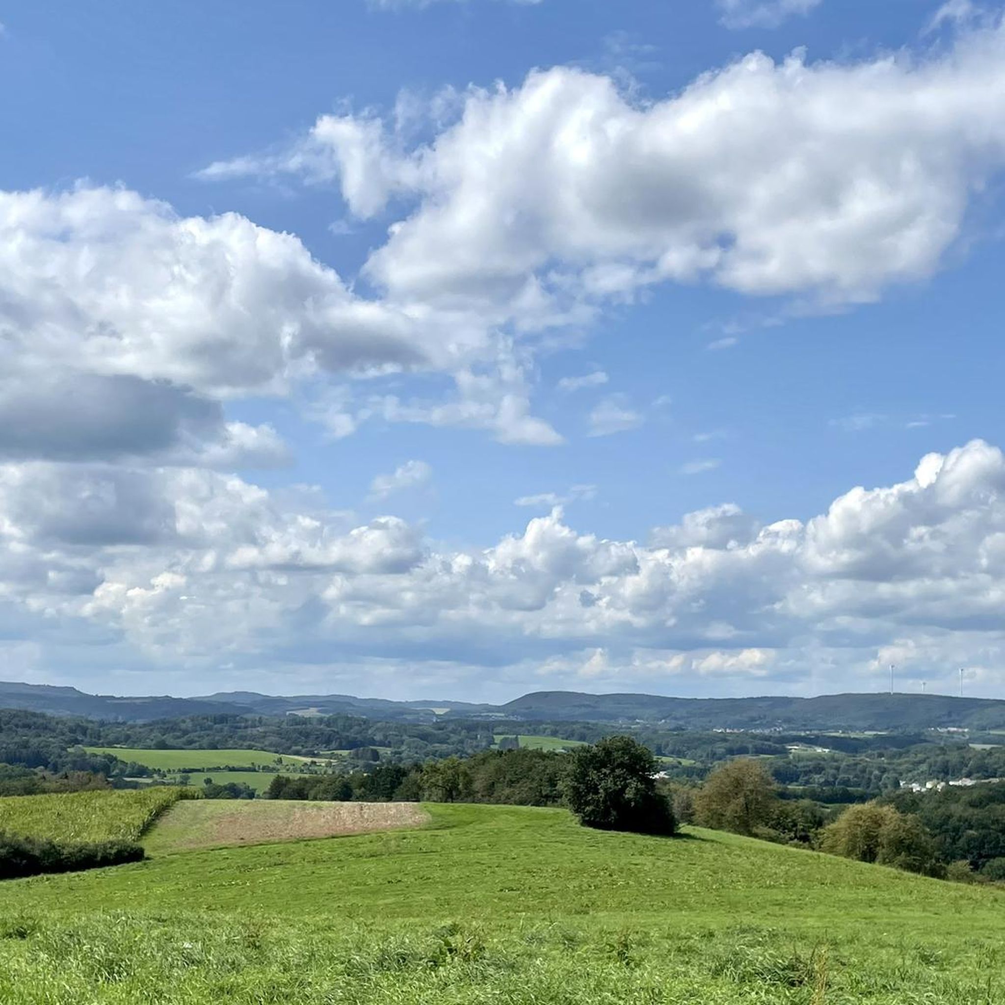
We have chosen the tower on the Schaumberg as our destination. From the top you have a great view. In addition, we were afterwards in the restaurant, where you can …

번역자 Google •

에 의해

저장

무료로 가입하여 남본 주변의 더 많은 명소를 발견하세요.

무료 회원 가입

이미 komoot 계정이 있나요?

오늘 무료 계정으로 시작하세요

다음 모험이 기다리고 있어요.

로그인 또는 가입하기

남본 주변 인기 장소

Countless trails, nature & history – hiking in Saarland

남본 MTB 트레일

남본 사이클링

남본 하이킹

남본 로드 사이클링 경로

남본 러닝 트레일

남본 주변 그래블 라이딩

남본 주변의 다른 모험

Countless trails, nature & history – hiking in Saarland

하이킹 컬렉션 에 의해

Saarland

커뮤니티 팁

Michael (Wasi)
8월 27, 2024, Bostalsee

The dam at Bostalsee is an impressive structure that dams the largest artificial recreational lake in southwest Germany. The dam not only serves an important function for water sports and leisure activities, but also offers a wonderful view of the lake and the surrounding landscape. With its length of around 500 meters and a height of 20 meters, the dam, which was completed in 1979, is an impressive structure. A walk across the dam is particularly recommended at sunset, when the light bathes the lake in warm colors.

번역: Google

6

0

Great wide view and you save meters in altitude because you don't have to go down into town. Makes the rail cycle path really great.

번역: Google

4

0

Keo
8월 2, 2022, Bostalsee

Personally, I liked the originality of the lake as it still existed in the 80s much better than the commercialized version that one finds today.

번역: Google

6

0

All crossings of a traffic route over another traffic route, over water or over lower-lying terrain are considered bridges if their clear width between the abutments is 2.00 meters or more. Definition according to DIN 1076, in relation to "engineering structures in the course of roads and paths - monitoring and testing" from the traffic bulletin document no. B 5276 version 07/97 personal note1: yes, there is a bridge here, not pretty but a bridge.... personal note2: I wrote this tip when the highlight was still called "Bridge" because the adjuster had slapped it carelessly.

번역: Google

7

2

Oberkirch Viaduct from the former railway line. Fritz Wunderlich bike path.

번역: Google

4

0

Armin Walter
3월 10, 2022, Bostalsee

Hello Nice circular route, easy Going is also recommended for people with mild disabilities.

번역: Google

6

0

𝑺𝒕𝒊𝒍𝒍𝒍𝒆𝒈𝒖𝒏𝒈 𝒅𝒆𝒓 𝑩𝒂𝒉𝒏𝒍𝒊𝒏𝒊𝒆 𝒏𝒂𝒄𝒉 𝒏𝒖𝒓 𝟑𝟑 𝑱𝒂𝒉𝒓𝒆𝒏 𝑩𝒆𝒕𝒓𝒊𝒆𝒃𝒔𝒛𝒆𝒊𝒕 𝟐𝟏.𝟎𝟓.𝟏𝟗𝟓𝟓 - On the grounds of insufficient use “the passenger traffic Freisen-Schwarzerden was shut down. 𝟑𝟏.𝟎𝟓.𝟏𝟗𝟔𝟗 - Passenger traffic from Türkismühle-Freisen and freight traffic from Freisen-Schwarzerden were shut down. 𝟏𝟗𝟔𝟗 - Dismantling and dismantling of the tracks. 𝟏𝟑.𝟎𝟖.𝟏𝟗𝟔𝟗 - Suggestion to open the railway bridge as a vantage point. 𝟏𝟗𝟕𝟎 - A license agreement has been concluded with the Federal Railroad. 𝟏𝟔.𝟎𝟓.𝟏𝟗𝟕𝟏 - Approval of the valley bridge as a vantage point by the former Saarland Prime Minister Dr. Roeder 𝟏𝟗𝟕𝟕 - The bridge had to be closed due to renewal of the defective bridge railingBr 𝟏𝟔.𝟎𝟓.𝟏𝟗𝟖𝟏 - The bridge has been released again. 𝟏𝟗𝟗𝟑 - The bridge had to be closed again for a few months due to renovation work. 𝟐𝟕.𝟎𝟖.𝟏𝟗𝟗𝟑 - The official opening and handover of the now completed (24 km long) "Fritz-Wunderlich" bike and hiking trail from Freisen-Oberkirchen-Kusel 𝟏𝟗𝟗𝟔 - The viaduct is included in the list of monuments of the State Conservatory Office. Source: Text information board

번역: Google

11

1

𝑺𝒊𝒆𝒃𝒛𝒊𝒈 𝑱𝒂𝒉𝒓𝒆 𝑬𝒊𝒔𝒆𝒏𝒃𝒂𝒉𝒏𝒃𝒂𝒖 𝟏𝟖𝟔𝟖 - The Landstuhl-Kusel railway line was opened. 𝟏𝟖𝟖𝟖 - the Trier-Türkismühle railway line has been completed. 𝟏𝟖𝟔𝟔 - First suggestions to build the turquoise mill-Kusel intermediate piece. 𝟏𝟗𝟏𝟎 - A committee is dealing with the rail project 𝟏𝟗𝟏𝟒 - 𝟏𝟗𝟏𝟖 - The First World War prevented further planning. 𝟏𝟐.𝟏𝟎.𝟏𝟗𝟐𝟎 - The authorities of the 3 different countries met 𝟐𝟔.𝟎𝟗.𝟏𝟗𝟐𝟔 - Foundation of an association to promote railway construction. 𝟎𝟔.𝟏𝟐.𝟏𝟗𝟑𝟎 - Popular protests against the authorities 𝟑𝟏.𝟎𝟑.𝟏𝟗𝟑𝟏 - Takeover of railway construction in the Grenzland program 𝟎𝟕.𝟏𝟎.𝟏𝟗𝟑𝟏 - “Green light” for the Türkismühle-Oberkirchen-Kusel line. 𝟎𝟓.𝟏𝟐.𝟏𝟗𝟑𝟐 - Start of construction in Türkismühle 𝟏𝟗𝟑𝟒 - Start of construction of the viaduct in Oberkirchen. 𝟏𝟓.𝟎𝟓.𝟏𝟗𝟑𝟓 - The first section of Türkismühle-Wolfersweiler was completed. 𝟎𝟓.𝟏𝟎.𝟏𝟗𝟑𝟔 - The second section Wolfersweiler-Freisen was put into operation. 𝟏𝟓.𝟎𝟓.𝟏𝟗𝟑𝟔 - The Kusel-Diedelkopf stretch was finished. 𝟏𝟓.𝟏𝟏.𝟏𝟗𝟑𝟔 - Commissioning of the remaining Freisen-Diedelkopf section. With that the whole hotly contested (and 32.6 km long) railway line Türkismühle-Oberkirchen-Kusel was completed. Source: Text information board

번역: Google

11

1

남본 주변에서 가장 인기 있는 경로

남본 MTB 트레일

남본 주변에서 가장 인기 있는 명소

Bike Parks

Store rating

komoot 모바일 앱으로 영감을 받아보세요

무료 komoot 계정로 끝없는 야외 모험을 손쉽게 찾고, 맞춤 설정하며 길안내할 수 있어요.

또는

지금 komoot에 가입하세요

Store rating

더 살펴보기

찾고 있는 하이라이트를 아직 못 찾으셨나요? 다른 지역의 주요 명소 가이드를 확인해보세요:

논바일러노펠덴톨리프라이젠오버탈마핑겐보스탈제장크트 벤델

근처 어드벤처 가이드

장크트 벤델 즐길거리

background

새로운 정복을 위한 준비를 하세요

무료로 가입하기

탐험하기
경로경로 플래너기능하이킹MTB 트레일로드 사이클링 경로바이크패킹사이트맵
앱 다운로드
소셜 미디어에서 팔로우하기

© komoot GmbH

개인 정보 보호 정책