경로

플래너

기능

업데이트

App

로그인 또는 가입

앱 다운로드

로그인 또는 가입

로그인 또는 가입

경로
사이클링 경로
독일
니더작센
동 프리지아
곁눈

필섬

필섬 최고의 사이클링 경로

4.8

(96)

457

자전거 타는 사람

63

라이딩

필섬 최고의 사이클링 경로를 따라 지역을 둘러볼까요? 필섬에서 가장 멋진 자전거 라이딩 장소 중에서 가장 마음에 드는 라이딩을 선택해보세요.

마지막 업데이트: 5월 23, 2026

4.8

(9)

31

자전거 타는 사람

#1.

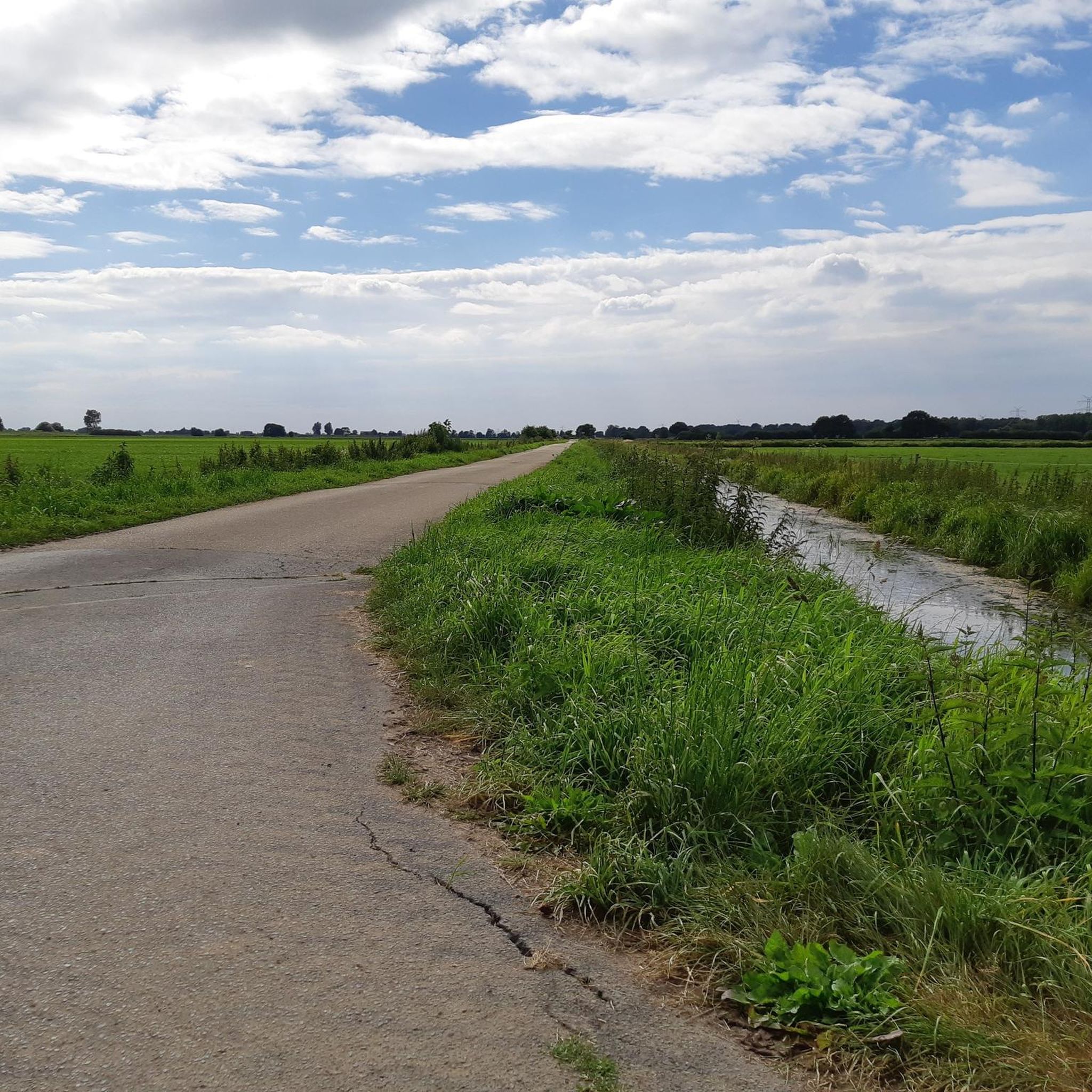
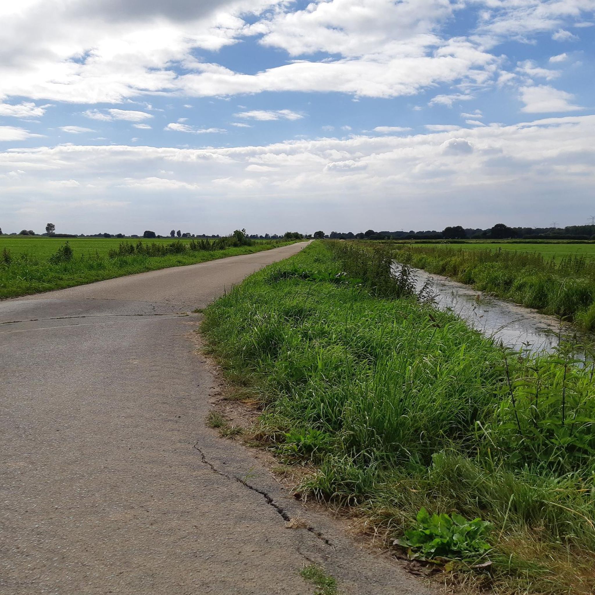
Filsum에서 출발하는 노르트게오르크스펜 운하 – Brückenfehn 도개교 순환 코스

36.5km

02:21

40m

40m

보통 자전거 타기. 좋은 체력 필요. 대부분 포장된 지면. 실력과 관계없이 누구나 갈 수 있음.

기기에서 길안내

휴대폰으로 전송

저장

보통

초급용 자전거 라이딩. 모든 체력 수준에 적합. 대부분 포장된 지면. 실력과 관계없이 누구나 갈 수 있음.

초급
guide_signup
저희가 komoot 모바일 앱로 길을 안내해 드리겠습니다.
무료 komoot 계정로 끝없는 야외 모험을 손쉽게 찾고, 맞춤 설정하며 길안내할 수 있어요.

무료 회원 가입

초급용 자전거 라이딩. 모든 체력 수준에 적합. 대부분 포장된 지면. 실력과 관계없이 누구나 갈 수 있음.

초급

초급용 자전거 라이딩. 모든 체력 수준에 적합. 대부분 포장된 지면. 실력과 관계없이 누구나 갈 수 있음.

초급

초급용 자전거 라이딩. 모든 체력 수준에 적합. 대부분 포장된 지면. 실력과 관계없이 누구나 갈 수 있음.

초급
무료 회원 가입 후 필섬 주변 라이딩 경로를 59개 더 확인하세요

더 다양한 경로와 다른 탐험가들의 추천을 살펴보세요.

무료 회원 가입

이미 komoot 계정이 있나요?

투어 추천은 다른 사람들이 komoot에서 완료한 수천 개의 활동을 바탕으로 구성되어 있습니다.

오늘 무료 계정으로 시작하세요

다음 모험이 기다리고 있어요.

로그인 또는 가입하기
필섬 주변 인기 장소

필섬 하이킹

필섬 로드 사이클링 경로

필섬 MTB 트레일

필섬 러닝 트레일

필섬 주변 그래블 라이딩

커뮤니티 팁

Oliver Penning
4월 4, 2026, Jümme River at Detern

황새 한 쌍이 있는 황새 둥지, 친절한 주민이 팁을 주었습니다. Detern 웹사이트의 맨 아래 페이지에서 웹캠을 통해 이 쌍을 관찰할 수 있습니다.

번역: Google

1

0

A pool of water located in the middle of a raised bog or kettle hole bog is also called a bog eye. Pools in raised bogs are mostly formed secondarily by the acidifying effect of sphagnum moss. Their shoreline vegetation differs from other bog structures and develops on a more or less thick layer of peat.[4][2] These are to be distinguished from the smaller hollows.

번역: Google

0

0

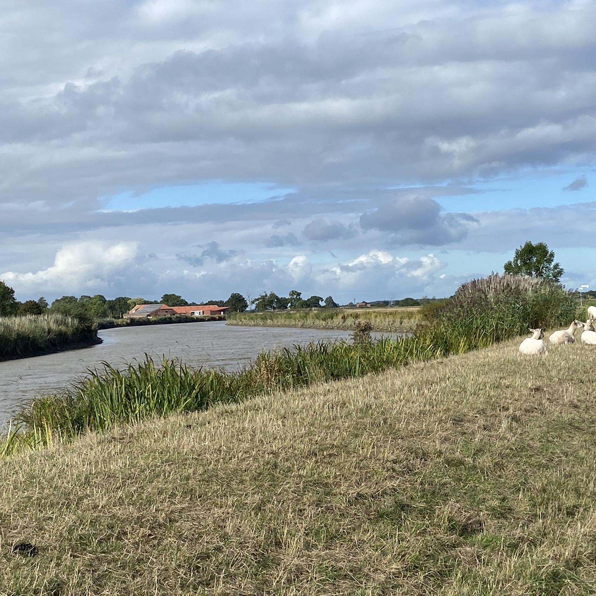
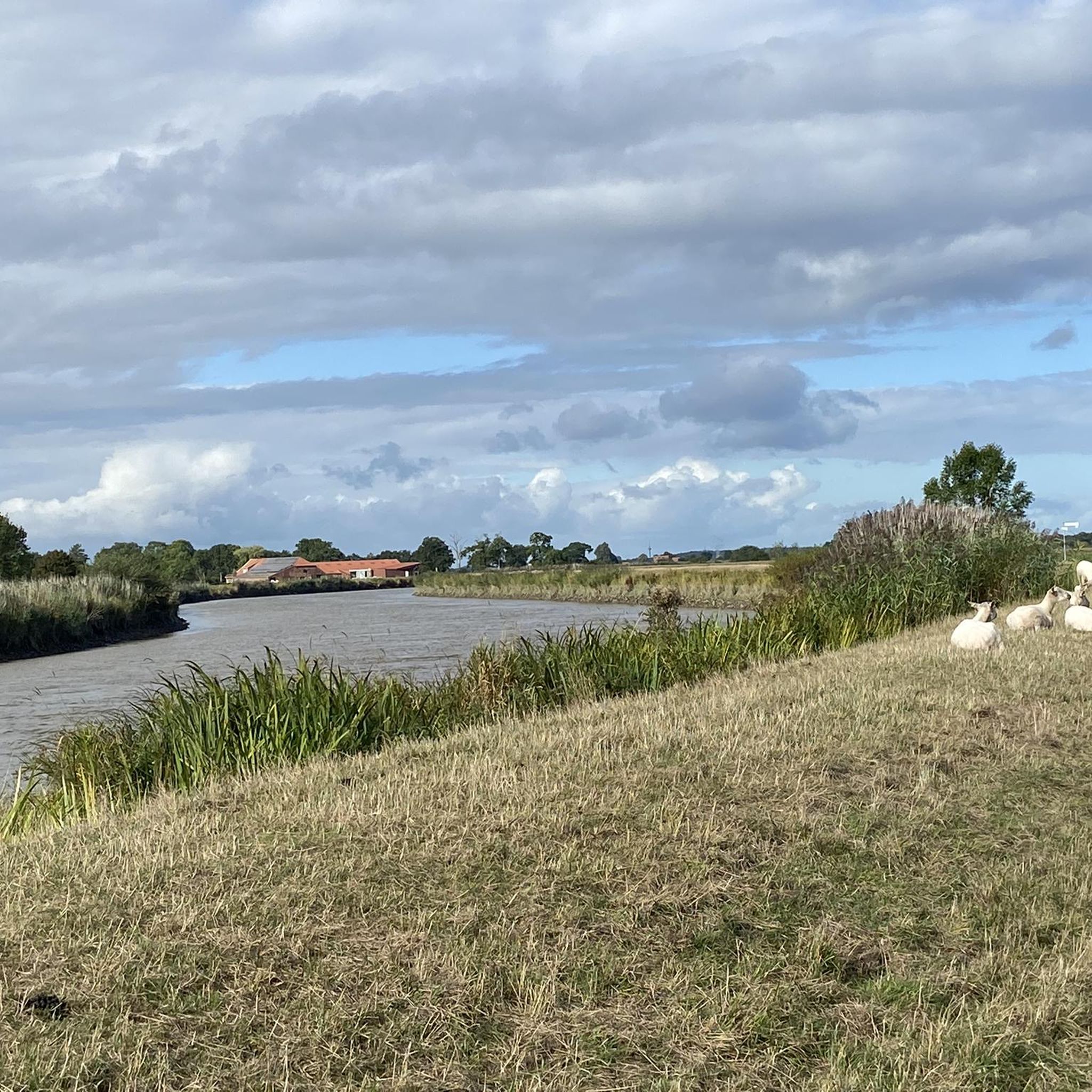
The Sagter Ems originates from the confluence of the Marka and Ohe rivers in Neuscharrel. The confluence point is located just before the southern bank of the Küstenkanal (Coastal Canal), which the Sagter Ems flows under. The Sagter Ems then traverses the Saterland region from south to north, flowing through the villages of Sedelsberg, Scharrel, Ramsloh, Strücklingen, and Bokelesch. Near the hamlet of Roggenberg, the Elisabethfehn Canal flows into the Sagter Ems. From this point until its confluence with the Dreyschloot canal at the border with East Frisia, the Sagter Ems is a federal waterway for 0.56 km,[3] under the jurisdiction of the Ems-Nordsee Waterways and Shipping Authority. The Dreyschloot, artificially constructed between 1848 and 1852, connects to the Barßeler Tief canal and the Jümme river. In East Frisia, the Sagter Ems is known as the Leda. [3] The Leda River, together with the Jümme River, forms the scenic Leda-Jümme region. The Jümme flows into the Leda near Wiltshausen, and shortly thereafter, the Leda flows into the Ems River near Leer (East Frisia). Due to the indirect connection to the North Sea via the Leda and Ems rivers, significant tidal variations can still be observed in the Sagter Ems.

번역: Google

0

0

A wonderful idea for a rest area

번역: Google

0

0

The Breite Weg used to be difficult to negotiate. The postman had to push his bike through the mud.

번역: Google

1

0

VfB1897
8월 25, 2025, Kleiner Kolk

A Kolk is a pond-like body of water

번역: Google

1

0

Beautiful old bridge

번역: Google

1

0

Nice route to the right of the Jümme.

번역: Google

2

0

필섬 주변에서 가장 인기 있는 경로

필섬 교통량 없는 자전거 라이딩

필섬 주변에서 가장 인기 있는 명소

Places to see

Store rating

komoot 모바일 앱으로 영감을 받아보세요

무료 komoot 계정로 끝없는 야외 모험을 손쉽게 찾고, 맞춤 설정하며 길안내할 수 있어요.

또는

지금 komoot에 가입하세요

Store rating

더 살펴보기

다른 지역의 최고의 자전거 경로를 살펴보세요.

보르쿰위너분데젬검무어머랜드오스트하우더펜벡체텔러 미어라우더펜웨스트오버레딩겐저지하다Veenhuser Königsmoor업플렌겐헤젤줌메제Heseler WaldEntlastungspolder Holter Hammrich노르트무어홀틀랜드노이캄페르펜렌게너 미어스테이플러 무어와 움게붕브링컴슈베린스도르프홀레샌드퍼렐Nsg Neudorfer Moor인젤 뤼체 혼

근처 어드벤처 가이드

저지하다 즐길거리

background

새로운 정복을 위한 준비를 하세요

무료로 가입하기

탐험하기
경로경로 플래너기능하이킹MTB 트레일로드 사이클링 경로바이크패킹사이트맵
앱 다운로드
소셜 미디어에서 팔로우하기

© komoot GmbH

개인 정보 보호 정책