경로

플래너

기능

업데이트

App

로그인 또는 가입

앱 다운로드

로그인 또는 가입

경로
Places to see
Mountain Peaks
오스트리아
스티리아
호흐슈타이어마르크
레오벤

발트 암 쇼베르파스

발트 암 쇼베르파스‬에서 가장 멋진 ‪20‬개의 산 정상


발트 암 쇼베르파스의 산 정상에 오르면 이 지역의 아름다운 모습을 제대로 구경할 수 있어요. 다만, 20
곳이나 되는 산 정상 중에서 어떤 곳을 가야 할 지 고민된다는 게 문제죠. 발트 암 쇼베르파스에서 가장 멋진 산 정상을 살펴본 후에 마음에 드는 산 정상을 다음 모험 계획에 추가해보세요.

마지막 업데이트: 8월 31, 2026

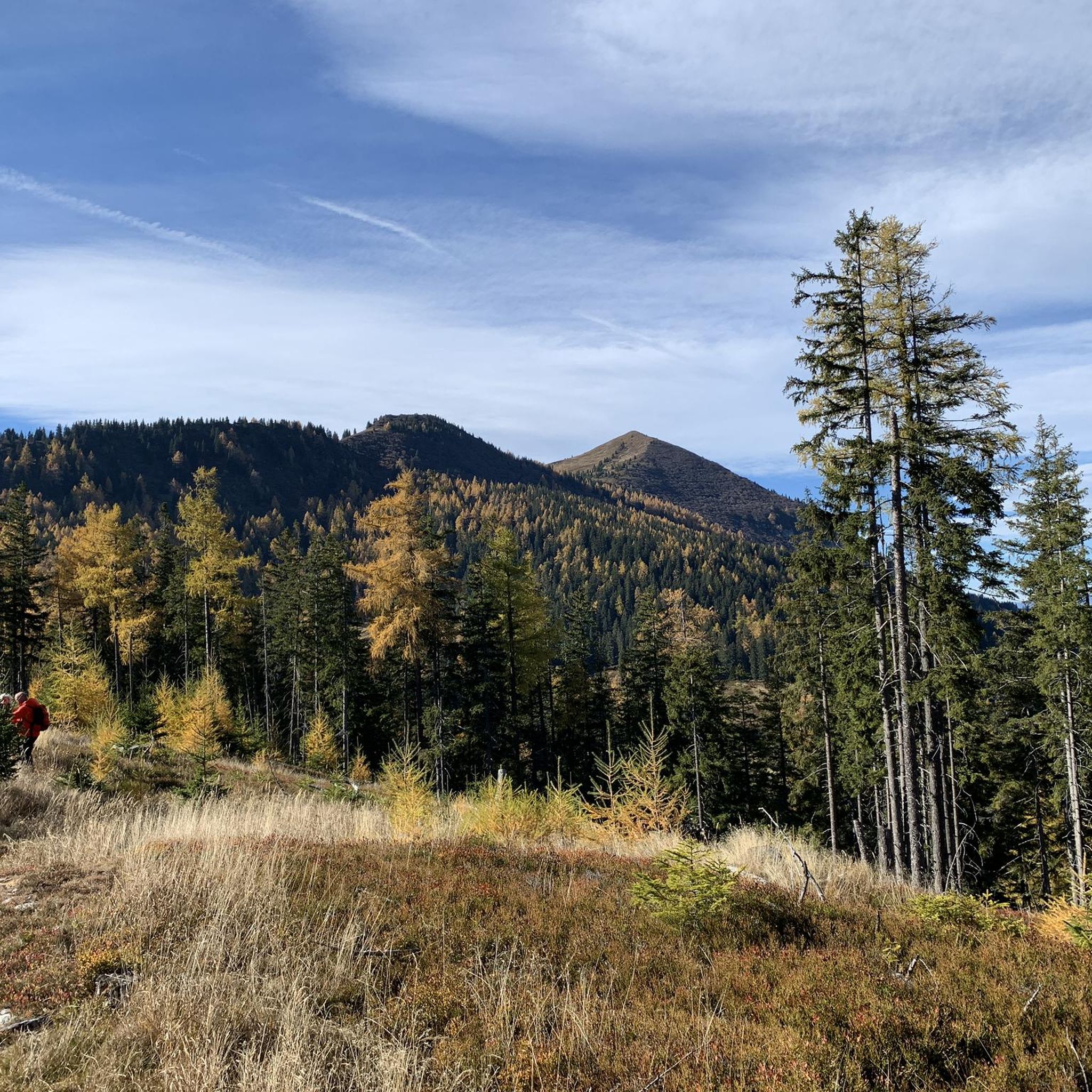
호흐라이하르트 정상

하이라이트 • 정상

From parking lot 4, the well-marked hiking trail leads through the forest and over a forest road to the beginning of the Branstättergraben. Furthermore, we hike evenly steeply uphill first …

번역자 Google •

에 의해

하이킹 보기

휴대폰으로 전송

저장

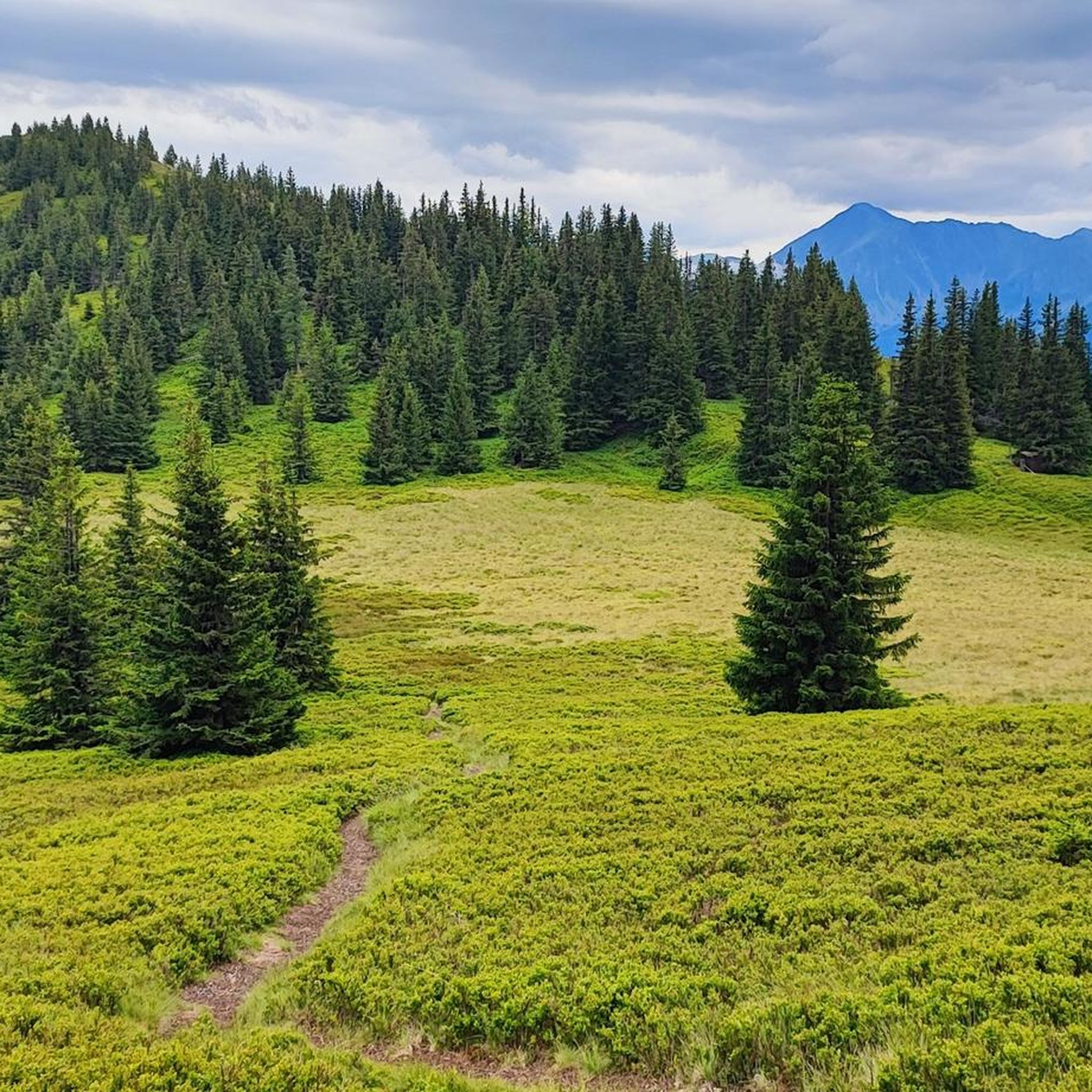
빌트펠트 정상

하이라이트 • 정상

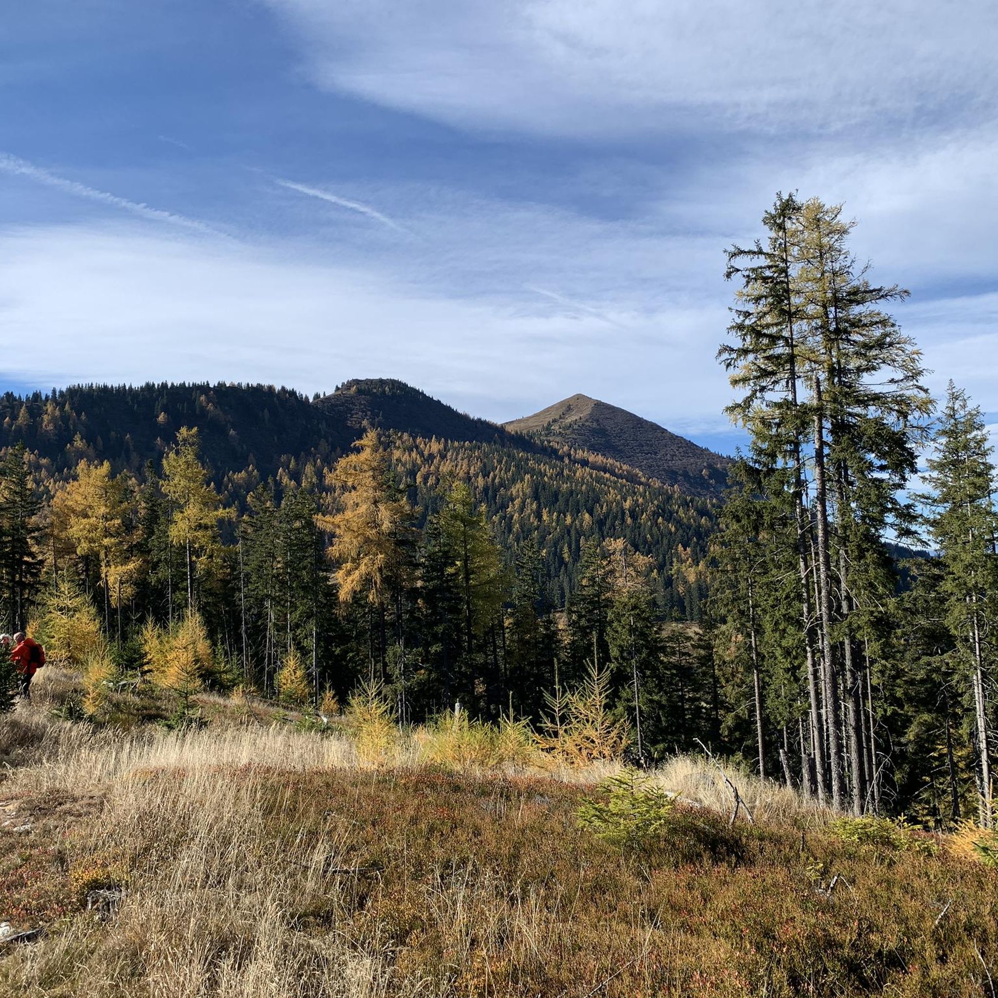
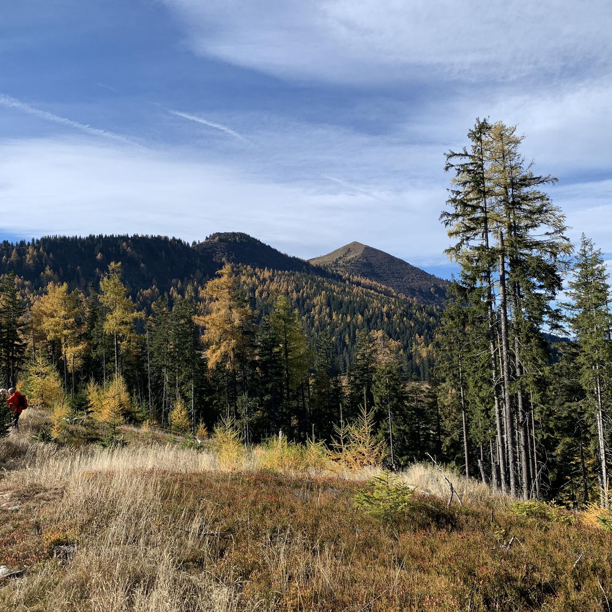
The Wildfeld 2043 m lies along the Eisenerzer Höhenwanderweg and offers a view from the beginning of the Höhenweg with Admonter Reichenstein to its destination, the Eisenerzer Reichenstein.

번역자 Google •

에 의해

저장

이런 장소를 발견하려면 지금 가입하세요

최고의 싱글 트랙, 봉우리 및 다양한 흥미로운 야외 장소에 대한 추천을 받아보세요.

무료 회원 가입

헬덴크로이츠 (1630m)

하이라이트 • 기념물

This was built in honor of the members of the Mödling section of the ÖAV who died in both world wars.

번역자 Google •

에 의해

저장

제이리츠캄펠

하이라이트 • 정상

Great sunrises and a wonderful view of the Gesäuse.

번역자 Google •

에 의해

저장

슈필코겔 정상

하이라이트 • 정상

An unspectacular summit, but with a great and rewarding view of the nearby Gesäuse and the "Niedere Tauern".

번역자 Google •

에 의해

저장

무료로 가입하여 발트 암 쇼베르파스 주변의 더 많은 봉우리를 발견하세요.

무료 회원 가입

이미 komoot 계정이 있나요?

오늘 무료 계정으로 시작하세요

다음 모험이 기다리고 있어요.

로그인 또는 가입하기
발트 암 쇼베르파스 주변 인기 장소

두 개의 Koppels를 타고 다섯 개의 나라를 거쳐

오스트리아를 동서로 거치는 알프스 모험

발트 암 쇼베르파스 하이킹

발트 암 쇼베르파스 MTB 트레일

발트 암 쇼베르파스 사이클링

발트 암 쇼베르파스 등산

발트 암 쇼베르파스 로드 사이클링 경로

발트 암 쇼베르파스 러닝 트레일

발트 암 쇼베르파스 주변의 다른 모험

두 개의 Koppels를 타고 다섯 개의 나라를 거쳐

사이클링 컬렉션 에 의해

Floor

커뮤니티 팁

Erich Schrenk
9월 8, 2023, Heldenkreuz (1630 m)

beautiful vantage point on a beautiful alpine pasture

번역: Google

2

0

war memorial honoring the fallen of the first and second world wars

번역: Google

0

0

Fantastic panoramic mountain with a long climb, you should be free from giddiness in the summit area.

번역: Google

1

0

This was built in honor of the members of the Mödling section of the ÖAV who died in both world wars.

번역: Google

2

0

The Wildfeld 2043 m lies along the Eisenerzer Höhenwanderweg and offers a view from the beginning of the Höhenweg with Admonter Reichenstein to its destination, the Eisenerzer Reichenstein.

번역: Google

2

0

Alfred
11월 13, 2021, Wildfeld Summit

You have to get back down from the mountain at 4 p.m. so that peace and quiet can return to the mountain.

번역: Google

0

2

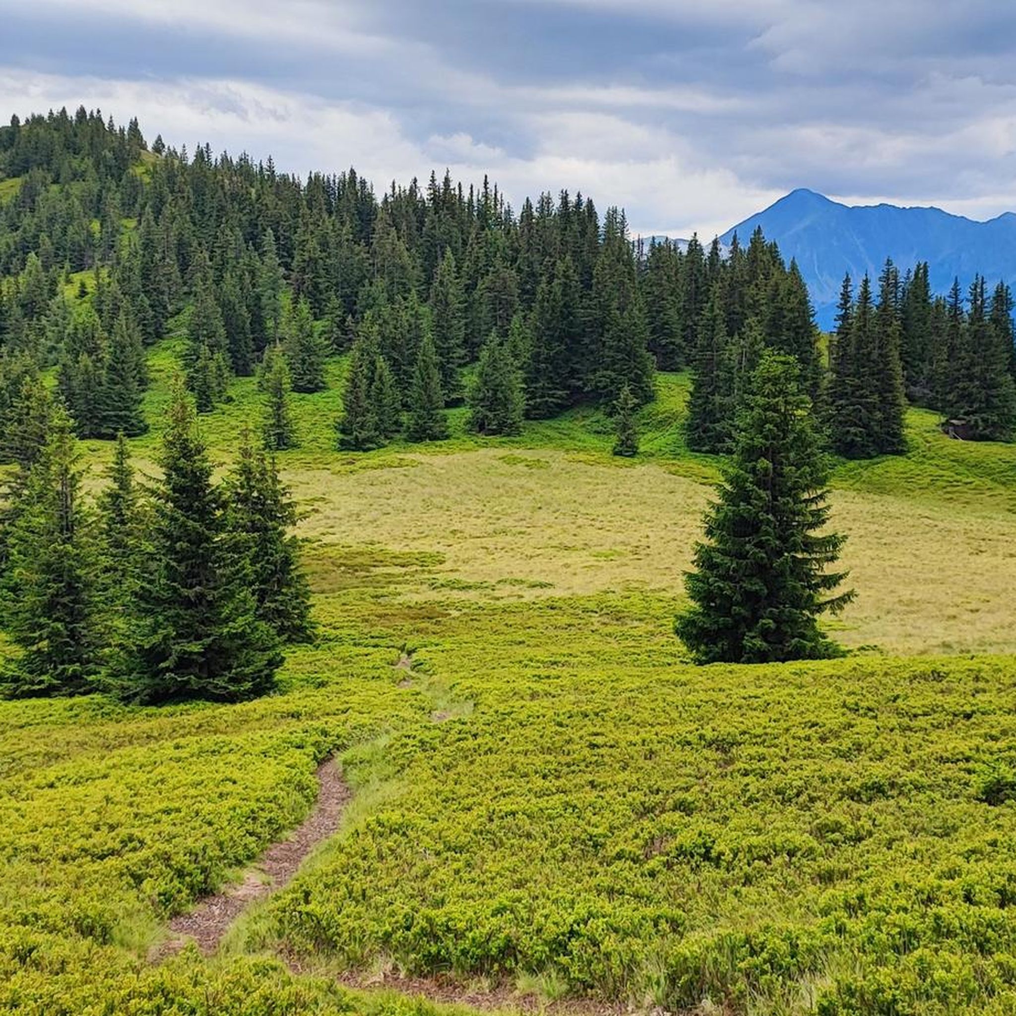
great high moor meadow hidden after a stony climb.

번역: Google

1

0

From parking lot 4, the well-marked hiking trail leads through the forest and over a forest road to the beginning of the Branstättergraben. Furthermore, we hike evenly steeply uphill first through the forest and later over the tree line to Brandstättertörl at 2021 m. We overcome around 400 meters in altitude via the steep south-east flank to the summit of the Hochreichart at 2416 m. The way back is via the ascent route. From the summit you have a 360 ° all-round view, from the Hochschwab via Dachstein, Gesäuse, Totes Gebirge, Schladminger Tauern, Julian Alps to the Steiner Alps.

번역: Google

6

0

발트 암 쇼베르파스 주변에서 가장 인기 있는 경로

발트 암 쇼베르파스 하이킹

발트 암 쇼베르파스 주변에서 가장 인기 있는 명소

Places to see

Store rating

komoot 모바일 앱으로 영감을 받아보세요

무료 komoot 계정로 끝없는 야외 모험을 손쉽게 찾고, 맞춤 설정하며 길안내할 수 있어요.

또는

지금 komoot에 가입하세요

Store rating

더 살펴보기

이 가이드를 통해 발트 암 쇼베르파스 주변의 더 놀라운 정상들을 확인해보세요:

보더른베르크트로피악아이제네르츠래드머슈타이어마르크의 마우테른문제Kammern im Liesingtal칼왕Obersteiermark의 장크트 미카엘성 스테판 옵 레오벤세인트 피터 프라이엔슈타인니클라스도르프트라보흐크라우바트 안 데어 무르

근처 어드벤처 가이드

칼왕 즐길거리

background

새로운 정복을 위한 준비를 하세요

무료로 가입하기

탐험하기
경로경로 플래너기능바우처 사용하이킹MTB 트레일로드 사이클링 경로바이크패킹사이트맵
앱 다운로드
소셜 미디어에서 팔로우하기

© komoot GmbH

개인 정보 보호 정책