시그리스빌에서 가장 멋진 20개의 호수
시그리스빌에서 가장 멋진 호수를 방문하고 싶나요? 호숫가의 고요한 분위기를 느끼거나 날씨가 따뜻한 날 호수에 발을 살짝 담글 수 있다면 얼마나 좋을까요? Komoot 커뮤니티가 추천한 시그리스빌의 주요 호수를 아래에서 살펴보고, 다음 모험 때 직접 찾아가보세요!
마지막 업데이트: 9월 5, 2026
아우그스트마트호른 정상
하이라이트 • 정상
번역자 Google •
팁에 의해

두 개의 호수 인도교 - 하더 쿨름 전망대
하이라이트 • 전망대
번역자 Google •
팁에 의해
이런 장소를 발견하려면 지금 가입하세요
최고의 싱글 트랙, 봉우리 및 다양한 흥미로운 야외 장소에 대한 추천을 받아보세요.
슈피츠–파울렌제 해변길
하이라이트 (구간) • 트레일
The beautiful sayings on the benches are also very interesting.
번역자 Google •
팁에 의해


툰호의 노이하우스 리도
하이라이트 • 해변
번역자 Google •
팁에 의해
무료로 가입하여 시그리스빌 주변의 더 많은 호수를 발견하세요.
이미 komoot 계정이 있나요?
오늘 무료 계정으로 시작하세요
다음 모험이 기다리고 있어요.
시그리스빌 주변 인기 장소
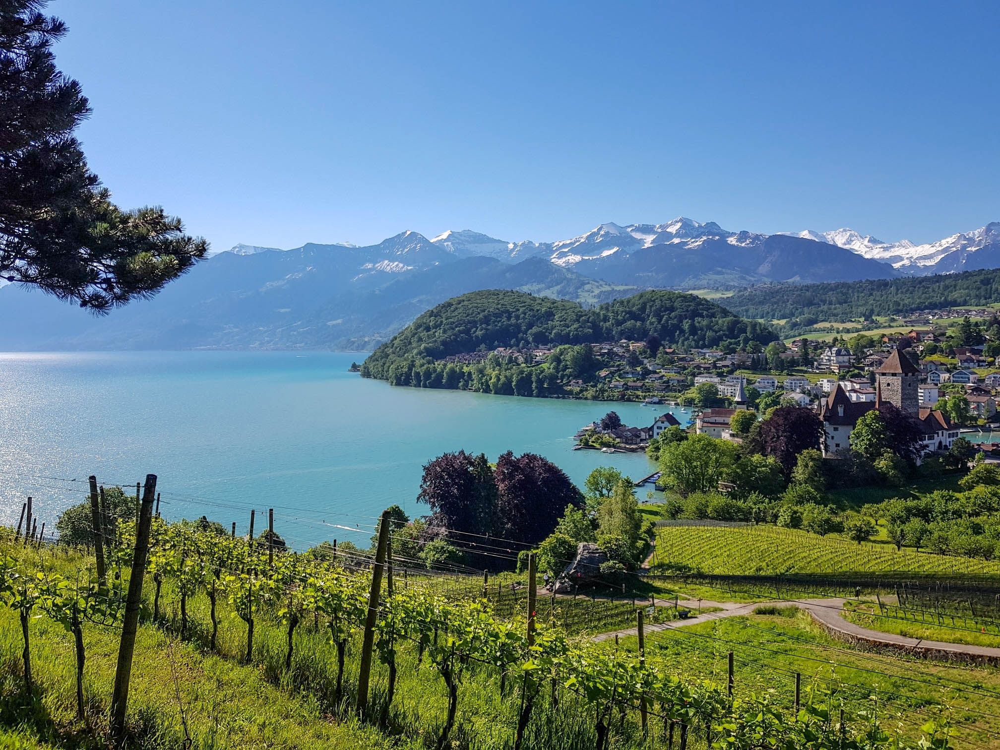
스위스 툰호 주변을 둘러싼 팬오라마 원형 트레일 - 매 커브마다 호수 전망
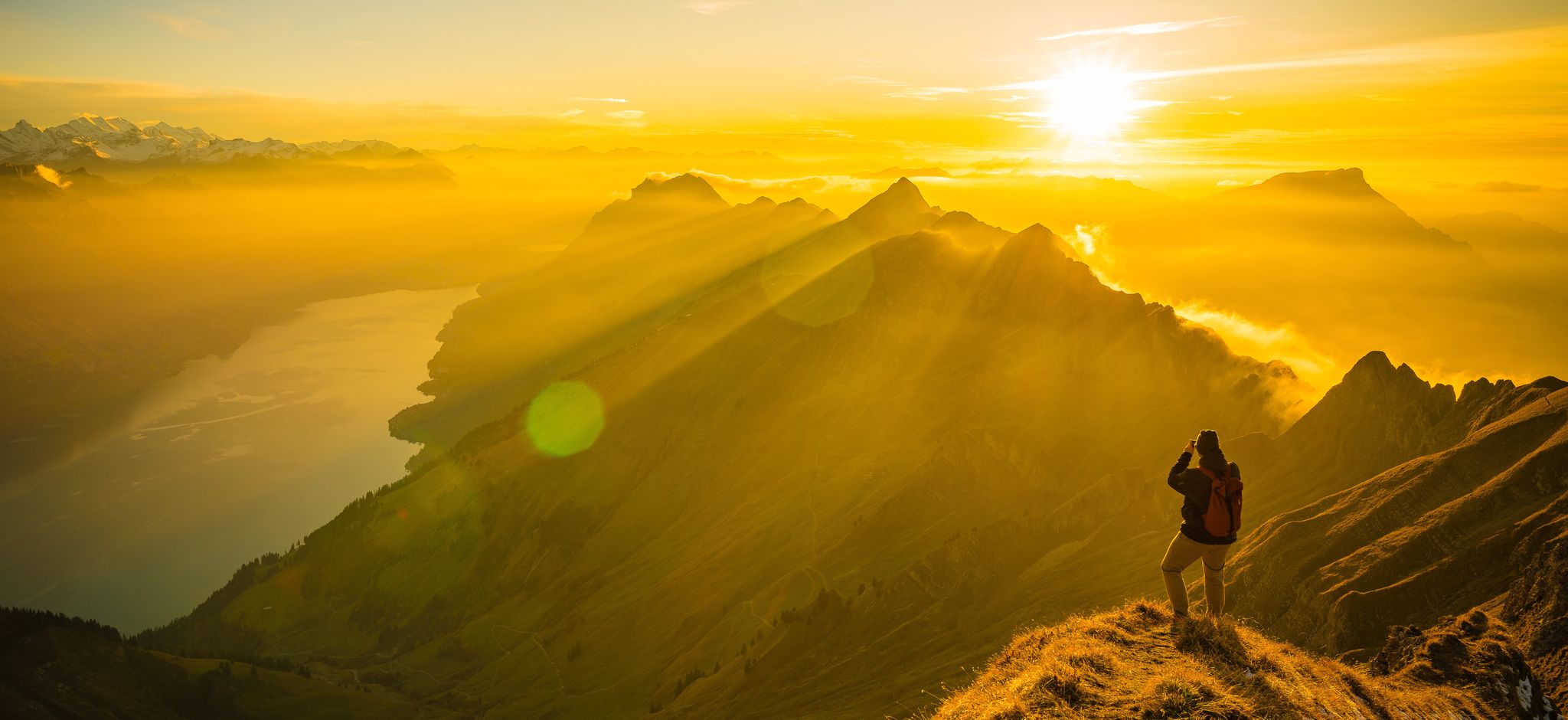
Mighty peaks and turquoise lakes – hiking in Interlaken in Switzerland
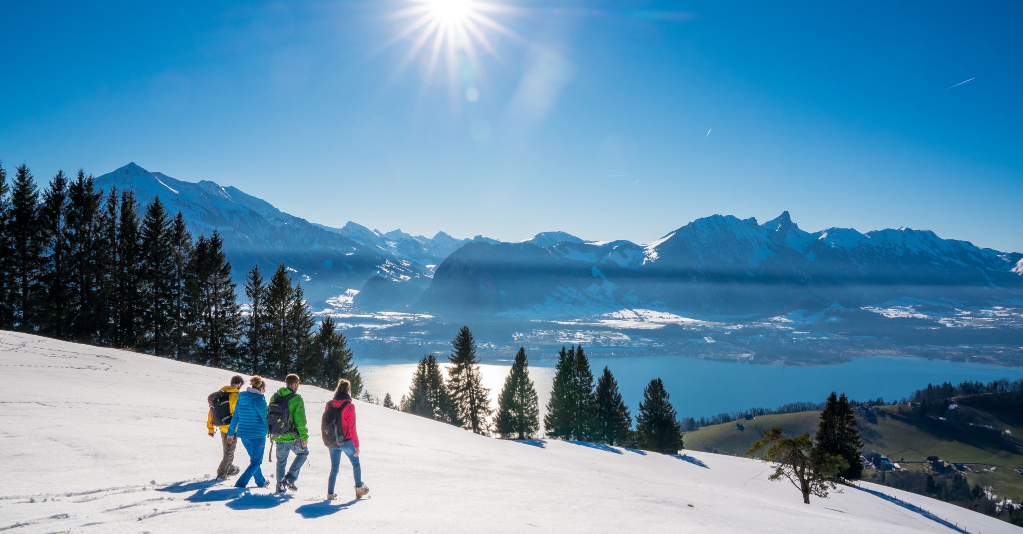
Let it snow! Winter hikes in the Bernese Oberland
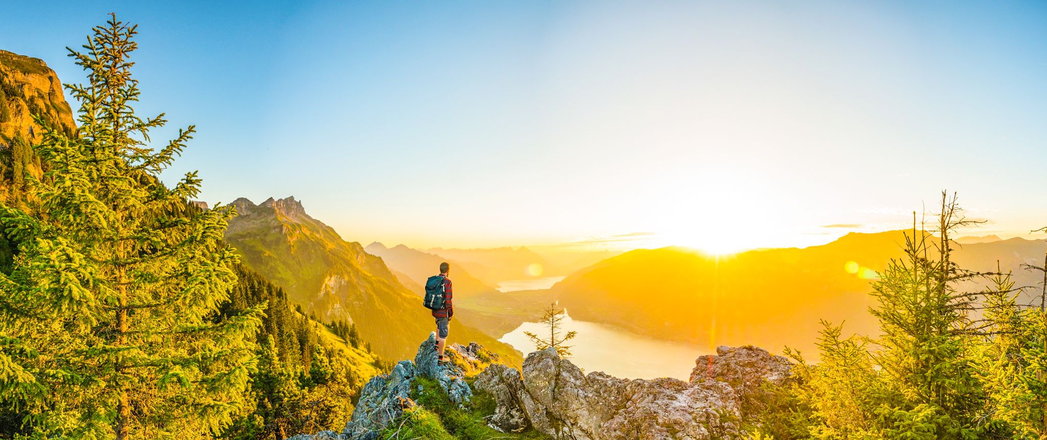
Magnificent Bernese Oberland – Hiking around Interlaken
Spectacular suspension bridges
Auf zwei Rädern unterwegs im Berner Oberland
시그리스빌 하이킹

시그리스빌 주변 그래블 라이딩
시그리스빌 MTB 트레일
시그리스빌 로드 사이클링 경로
시그리스빌 주변의 다른 모험


커뮤니티 팁

Wonderful turquoise-blue lake with holiday flair, along the shore there are car-free cycling and hiking trails
0
0

The Augstmatthorn is an impressive mountain in the Bernese Oberland, known for its breathtaking views and rich wildlife. At 2,137 meters high, the summit offers spectacular views of Lake Brienz, the surrounding Alps and, in clear weather, even as far as the Jura. The hike to the Augstmatthorn often starts in Habkern or Lombachalp and leads along well-marked paths through a varied landscape. The trail is challenging and requires surefootedness, especially on steep and rocky terrain. Once at the top, you will be rewarded with wide panoramic views and the opportunity to spot ibexes and other alpine animals.
4
2


Anyone who has driven the loop around Lake Brienz will soon repeat this excursion.
0
0

The views are super.... You can take very good pictures here....
1
1

Lake Brienz is one of the two large lakes in the Bernese Oberland. It is slightly smaller than Lake Thun. There are ferries on Lake Brienz. Highlights around the lake are the beautiful village of Brienz, the town of Interlaken and a high waterfall. Lake Brienz is located in the middle of the Alps, especially south of the lake there are very high mountains such as the Eiger, Mönch and Jungfrau, all three over 4,000 meters high. Lake Brienz is about 14 km long, just under 3 kilometers wide and has a maximum depth of 260 meters. It is about 40 km around the lake by car. https://berner-oberland.info/brienzersee/
0
1


더 살펴보기
시그리스빌 주변에서 완벽한 호수를 아직 못 찾으셨나요? 이 지역의 가이드를 확인하여 더 아름다운 장소를 찾아보세요.
