엔세 최고의 워킹 & 하이킹 경로
4.7
(1785)
8,075
등산객
184
하이킹
Komoot에 등록된 엔세 내 트레일 및 경로 컬렉션 중에서 하이킹과 워킹을 가장 멋지게 즐길 수 있는 곳을 알려드릴게요. 아래에서 각 경로의 상세 정보를 모두 확인한 후, 엔세 속 자연에서 즐거운 시간을 누려보세요.
마지막 업데이트: 10월 9, 2026
4.7
(194)
707
등산객
25.6km
06:49
270m
270m
어려운 하이킹. 우수한 체력 필요. 실력과 관계없이 누구나 쉽게 갈 수 있는 길.
4.7
(237)
702
등산객
11.4km
03:06
170m
170m
보통 하이킹. 좋은 체력 필요. 실력과 관계없이 누구나 쉽게 갈 수 있는 길.

4.6
(58)
164
등산객
10.8km
02:56
160m
160m
보통 하이킹. 좋은 체력 필요. 실력과 관계없이 누구나 쉽게 갈 수 있는 길.
4.7
(64)
185
등산객
6.65km
01:52
130m
130m
초급용 하이킹. 모든 체력 수준에 적합. 실력과 관계없이 누구나 쉽게 갈 수 있는 길.
5.0
(35)
133
등산객
5.02km
01:22
70m
70m
초급용 하이킹. 모든 체력 수준에 적합. 실력과 관계없이 누구나 쉽게 갈 수 있는 길.
더 다양한 경로와 다른 탐험가들의 추천을 살펴보세요.
이미 komoot 계정이 있나요?
투어 추천은 다른 사람들이 komoot에서 완료한 수천 개의 활동을 바탕으로 구성되어 있습니다.
오늘 무료 계정으로 시작하세요
다음 모험이 기다리고 있어요.
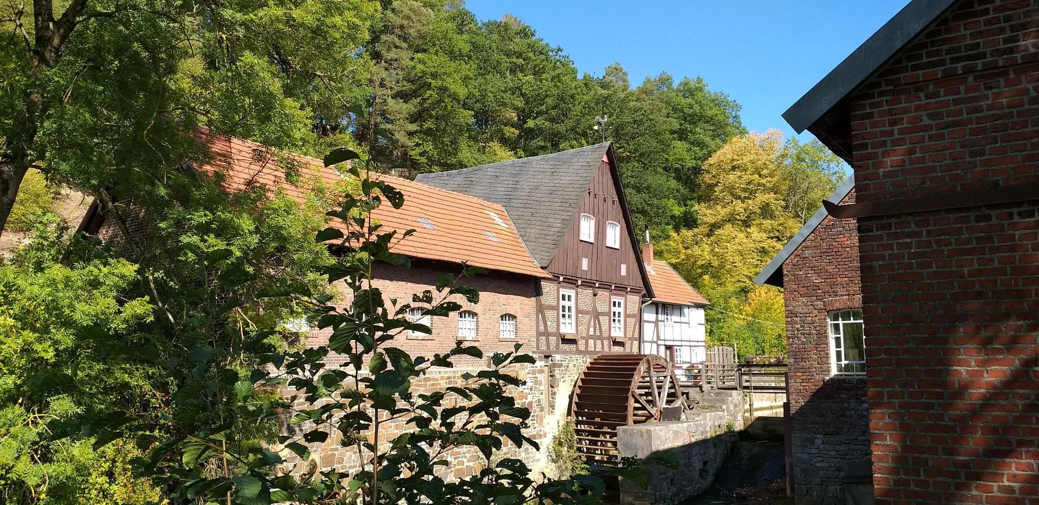
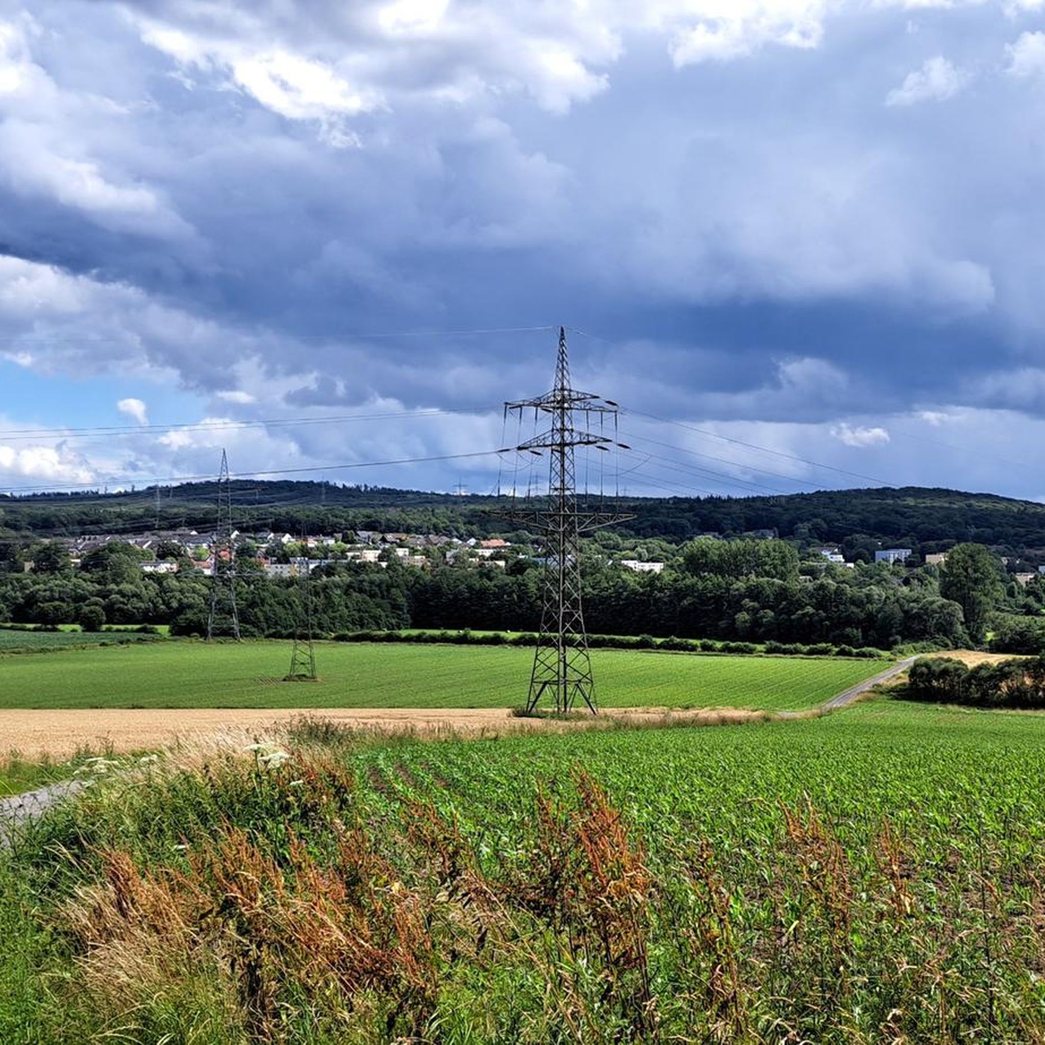
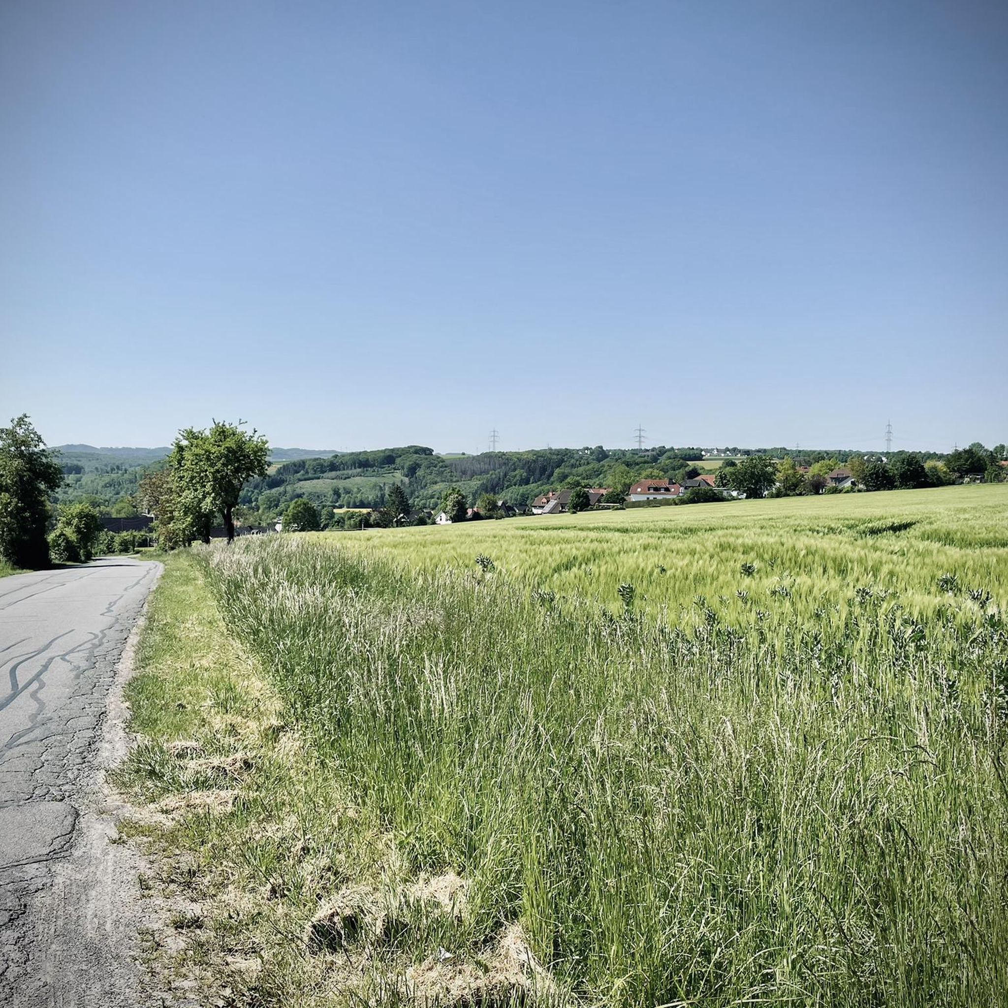


커뮤니티 팁

Snacks and drinks from the vending machine.
1
0


Perhaps the locals and local heritage conservationists know more about the origins of the historical borders?
0
0
This highlight is part of the hiking route "Border Trail of the Arnsberg Urban Area," a communal meditation on the Arnsberg urban area marking the 50th anniversary of the 1975 municipal reorganization. The ten-stage hike was developed at the invitation of the Arnsberg Cultural Office as part of the #ARTinprogress funding program of the Cultural Secretariat of North Rhine-Westphalia in Gütersloh, funded by the Ministry of Culture and Science of the State of North Rhine-Westphalia. Historical Map: (Map and Plan Collection), GK 52 - Map 1: District Map - Arnsberg District. The border of the former Arnsberg district is shaded in pink. "Ideas for the reorganization of Arnsberg, 1969" are hand-marked in red. Image: Hochsauerland District District Archives.
0
0
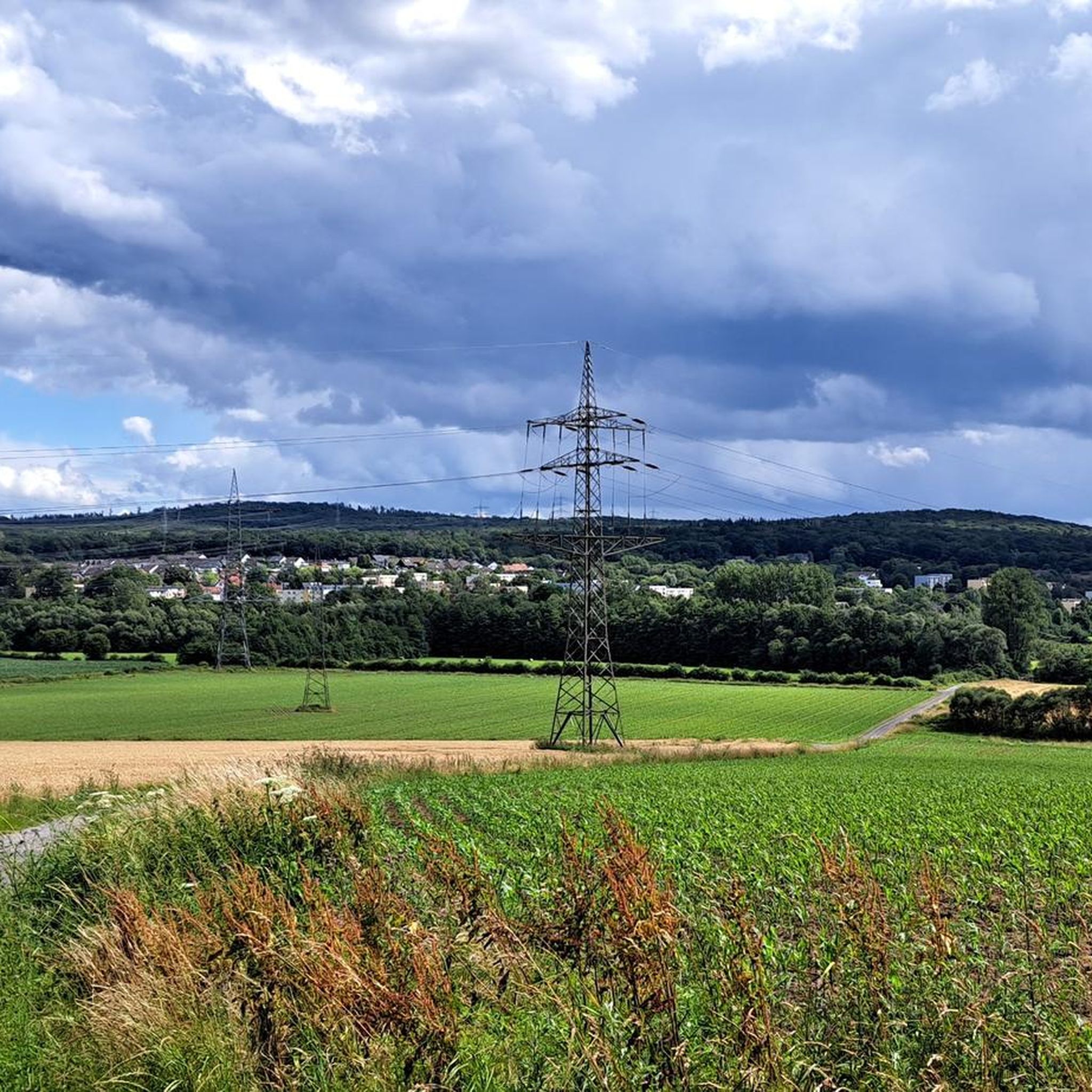
From Arnsberg-Menden airfield on the ridge between Voßwinkel and Echthausen on the other side of the Ruhr, the boundary of the Arnsberg urban area now runs northwards down into the Ruhr valley, following the Ruhr in a large arc along the meadows and then, below the chapel, roughly following the motorway towards Neheim. At the level of the sewage treatment plant, the city boundary rises to our left in Brückensiepen, jumps over the country road into the Höinger Bach and ends in the Möhne valley near Moosfelde. The boundary of the Arnsberg urban area, from the Ruhr valley to the Arnsberg Forest, also corresponds in its course to the former district boundary of Arnsberg before the municipal reorganization in 1975. However, the district boundary did not run between Echthausen and Voßwinkel, but followed the loop of the Ruhr past Haus Füchten to Wickede.
0
0

Nice view, good place to take a break
1
0

Free parking at the Himmelpforten monastery ruins
0
0
Beautiful view over the Möhne valley towards Günne.
0
0
엔세 주변에서 가장 인기 있는 명소


더 살펴보기
다른 지역의 최고의 하이킹를 살펴보세요.
