에베르슈탈젤 최고의 사이클링 경로
4.8
(29)
227
자전거 타는 사람
33
라이딩
에베르슈탈젤 최고의 사이클링 경로를 찾으시나요? 에베르슈탈젤에서 가장 멋진 자전거 라이딩 장소를 살펴본 후에 바로 떠나보세요. 여기서 마음에 드는 경로만 고르시면 돼요!
마지막 업데이트: 10월 18, 2026
5.0
(2)
26
자전거 타는 사람
34.6km
02:08
270m
270m
보통 자전거 타기. 좋은 체력 필요. 대부분 포장된 노면.
4.5
(4)
20
자전거 타는 사람
32.3km
02:19
200m
200m
어려운 자전거 타기. 좋은 체력 필요. 투어 중 자전거를 끌고 가야 하는 구간이 있을 수 있음.

5.0
(2)
20
자전거 타는 사람
37.5km
02:34
490m
490m
어려운 자전거 타기. 우수한 체력 필요. 대부분 포장된 노면.
5.0
(4)
13
자전거 타는 사람
31.5km
02:01
240m
240m
어려운 자전거 타기. 좋은 체력 필요. 투어 중 자전거를 끌고 가야 하는 구간이 있을 수 있음.
11
자전거 타는 사람
22.6km
01:30
190m
190m
보통 자전거 타기. 좋은 체력 필요. 대부분 포장된 노면.
더 다양한 경로와 다른 탐험가들의 추천을 살펴보세요.
이미 komoot 계정이 있나요?
투어 추천은 다른 사람들이 komoot에서 완료한 수천 개의 활동을 바탕으로 구성되어 있습니다.
오늘 무료 계정으로 시작하세요
다음 모험이 기다리고 있어요.
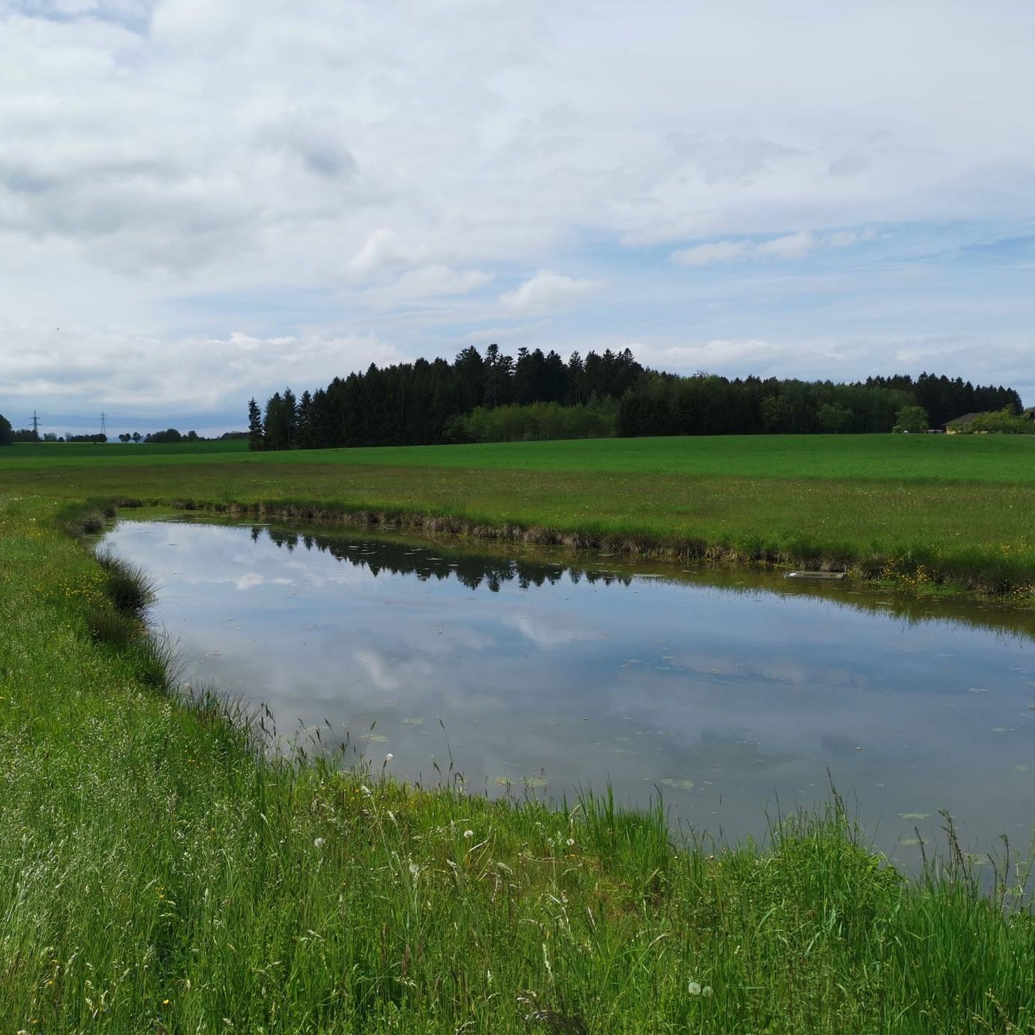
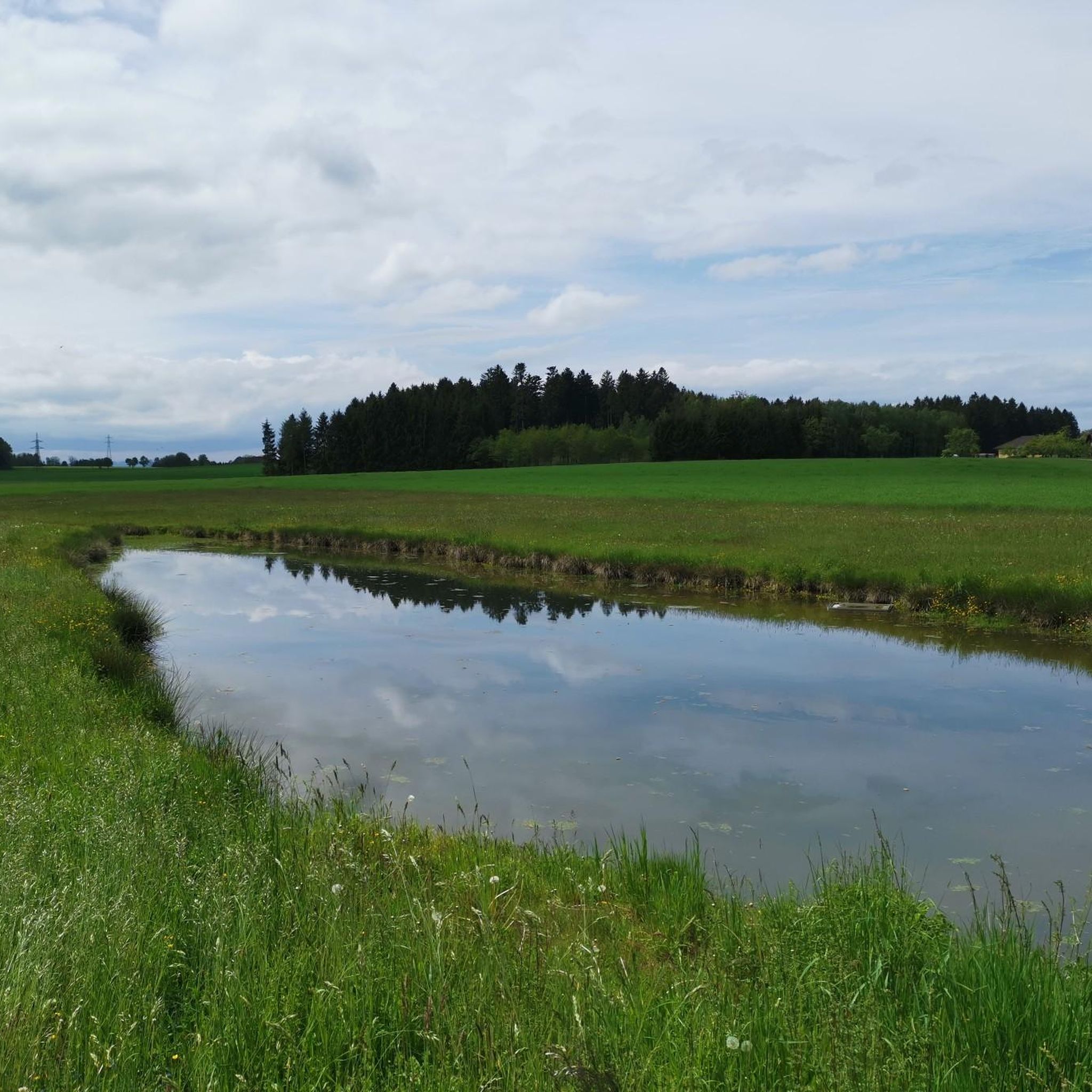
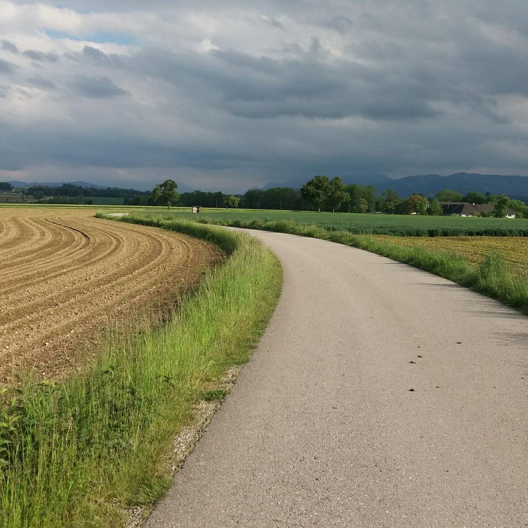
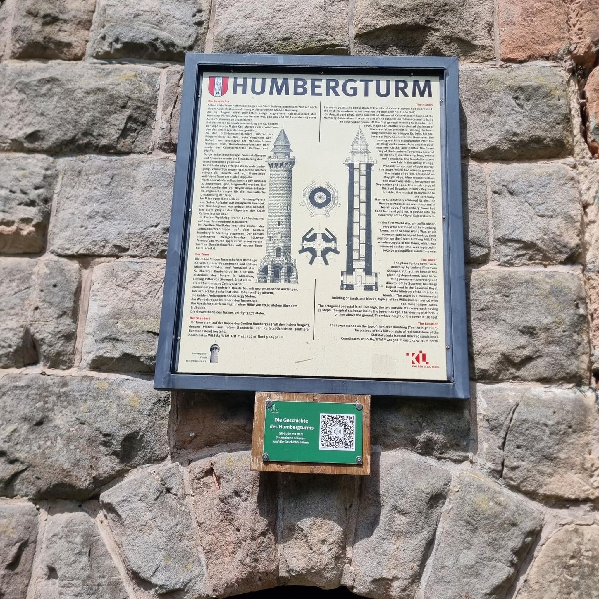

커뮤니티 팁

트라운 강 합류 지점과 알름슈테크 사이의 알름 강 구간은 걷거나 페달을 밟는 등 모든 종류의 "느긋한" 이동 수단에 훌륭한 길입니다 😀
0
0
수위와 상관없이 이곳에서는 두 강의 뚜렷한 색상 차이를 볼 수 있습니다. 훨씬 짧은 산악 강인 알름은 두 개의 큰 호수를 이미 통과한 트라운보다 훨씬 더 맑고 따라서 더 밝습니다.
0
0
수위와 관계없이 두 강의 뚜렷한 색상 차이를 이곳에서 분명히 볼 수 있습니다. 훨씬 짧은 산악 강인 Alm은 일반적으로 2개의 큰 호수를 통과한 Traun보다 훨씬 더 맑고 따라서 더 밝습니다.
0
0


The **Steinerkirchen an der Traun Parish Church** is an important religious building in the municipality of **Steinerkirchen an der Traun**, located in the **Wels-Land** district of **Upper Austria**. Here are some interesting facts about the church: 1. **History**: - The church is dedicated to the **Roman Catholic Parish** of **Saint Martin** and has a long tradition in the region. 2. **Architecture**: - The parish church is a **listed monument** and is distinguished by its architectural features, which reflect the history and style of the region. 3. **Parish Life**: - The parish is led by **Mag. P. Alois Mühlbachler**, who supports the parish in spiritual and organizational matters. 4. **Activities**: - The parish regularly hosts **worship services**, **events**, and **community activities** that promote the social life of the community. 5. **Contact Information**: - The parish church is a central location for the faithful and provides information on events and activities of importance to the community. The parish church of Steinerkirchen an der Traun is therefore an important part of the cultural and spiritual life of the region.
0
1

beautiful church invites for a short visit
0
1

The route is shorter but very steep. Furthermore, the paved road ends after 300 meters, and the forest path is challenging even with an e-bike. I recommend not turning right and riding the curve.
0
0
에베르슈탈젤 주변에서 가장 인기 있는 명소


더 살펴보기
다른 지역의 최고의 자전거 경로를 살펴보세요.
