아인루르 최고의 MTB 라이딩 경로
4.6
(4109)
12,365
자전거 타는 사람
269
라이딩
아인루르에 있는 멋진 산악자전거 라이딩 경로를 따라 어디로 가 볼까요? 아인루르에 있는 MTB 경로 컬렉션 중에서 가장 멋진 장소를 아래에서 살펴보세요.
마지막 업데이트: 7월 28, 2026
5.0
(13)
24
자전거 타는 사람
18.0km
01:20
310m
310m
보통 산악 자전거 타기. 좋은 체력 필요. 실력과 관계없이 누구나 갈 수 있음.
4.4
(9)
31
자전거 타는 사람
초급용 산악자전거 라이딩. 모든 체력 수준에 적합. 실력과 관계없이 누구나 갈 수 있음.

무료 회원 가입
3.8
(4)
23
자전거 타는 사람
14.8km
01:15
230m
230m
초급용 산악자전거 라이딩. 모든 체력 수준에 적합. 실력과 관계없이 누구나 갈 수 있음.
5.0
(2)
16
자전거 타는 사람
25.2km
02:22
630m
630m
보통 산악 자전거 타기. 좋은 체력 필요. 뛰어난 라이딩 실력이 필요함.
5.0
(4)
9
자전거 타는 사람
보통 산악 자전거 타기. 좋은 체력 필요. 뛰어난 라이딩 실력이 필요함.
더 다양한 경로와 다른 탐험가들의 추천을 살펴보세요.
무료 회원 가입
이미 komoot 계정이 있나요?
투어 추천은 다른 사람들이 komoot에서 완료한 수천 개의 활동을 바탕으로 구성되어 있습니다.
오늘 무료 계정으로 시작하세요
다음 모험이 기다리고 있어요.
로그인 또는 가입하기
아인루르 주변 인기 장소
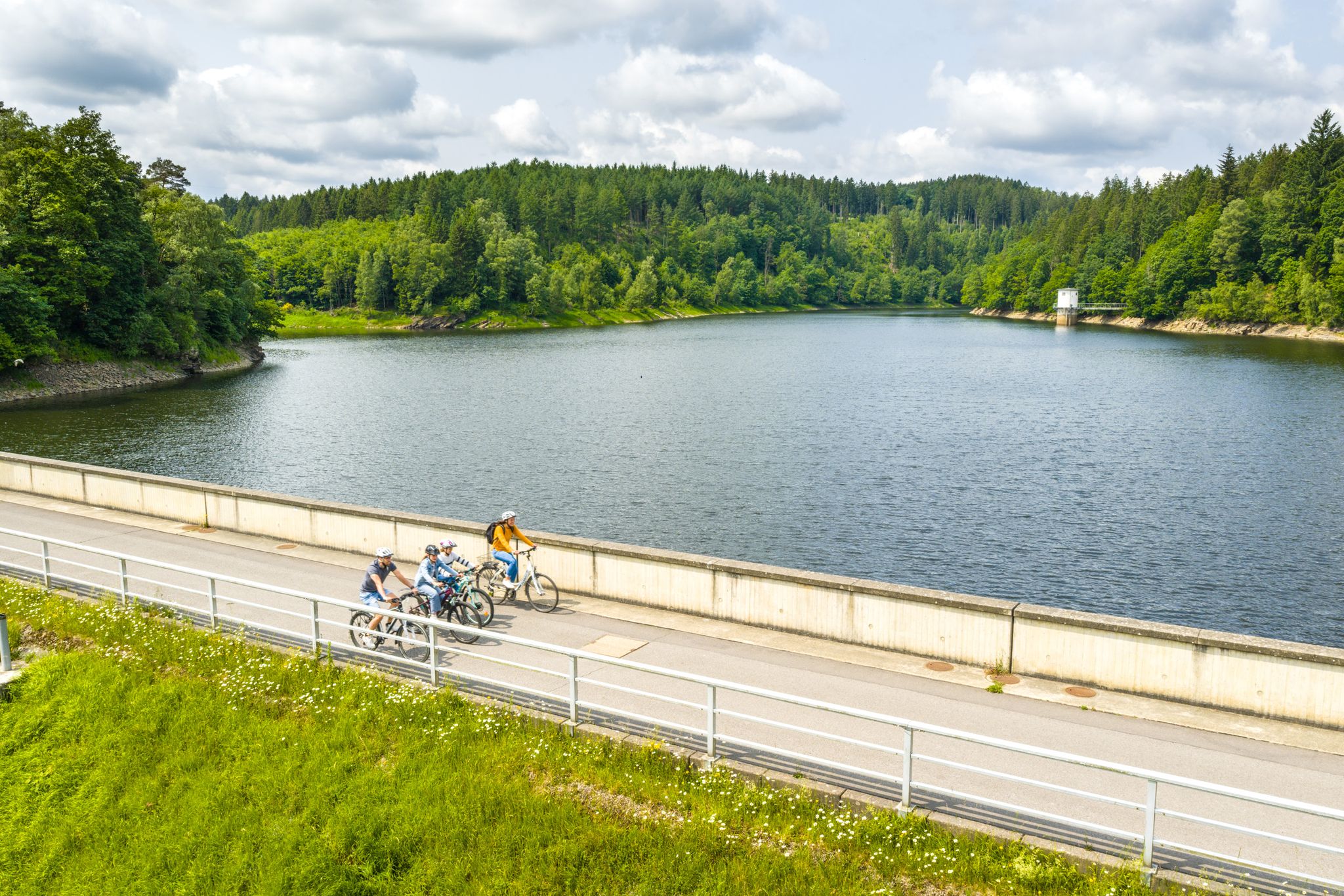
Aachen Time Loops – cycling from the past to the future
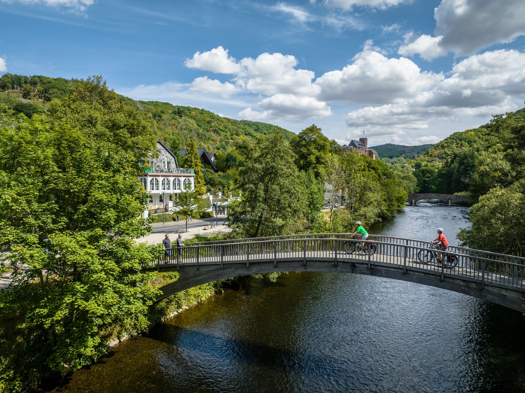
Heights, castles, moors – RURschleifen by bike
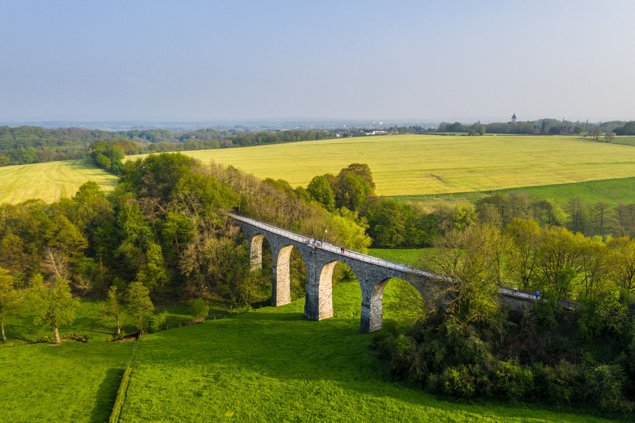
Cycling the tracks of the Vennbahn – the Vennbahnschleifen
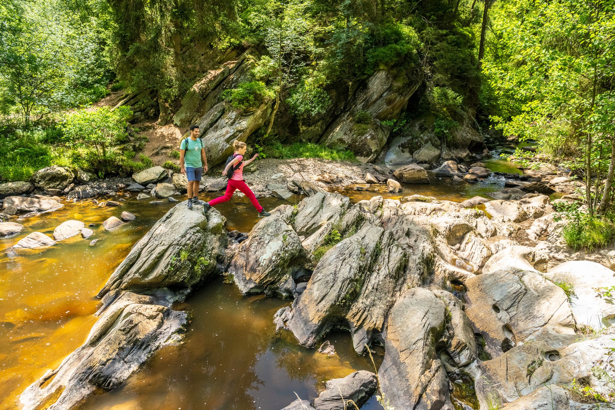
The Eifelsteig's 8 partner trails in Aachen region
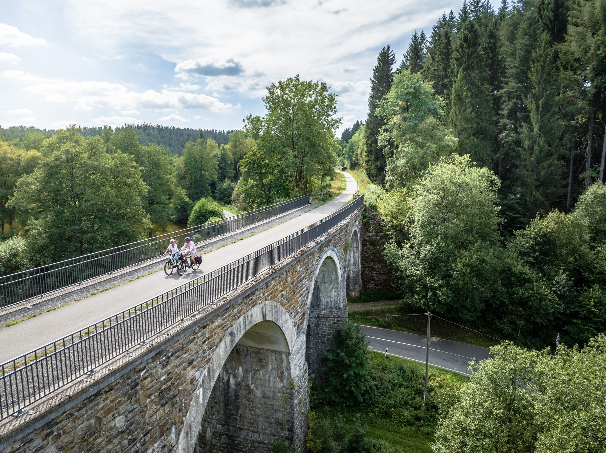
Fens, forests and water – cycling Tours in the Rur Eifel Region
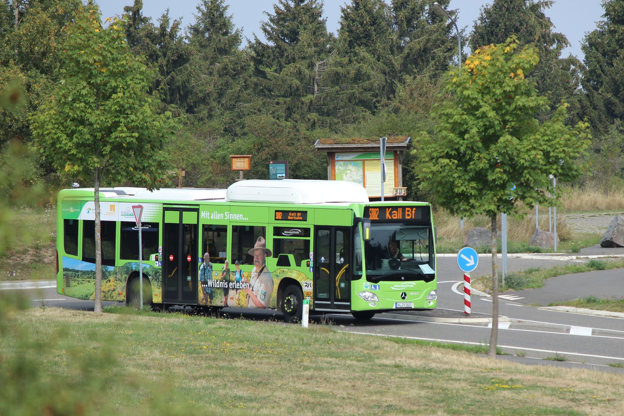
Next stop:검색 이전! - 한지 아이미지 Eifel 도서대 정보 게이터
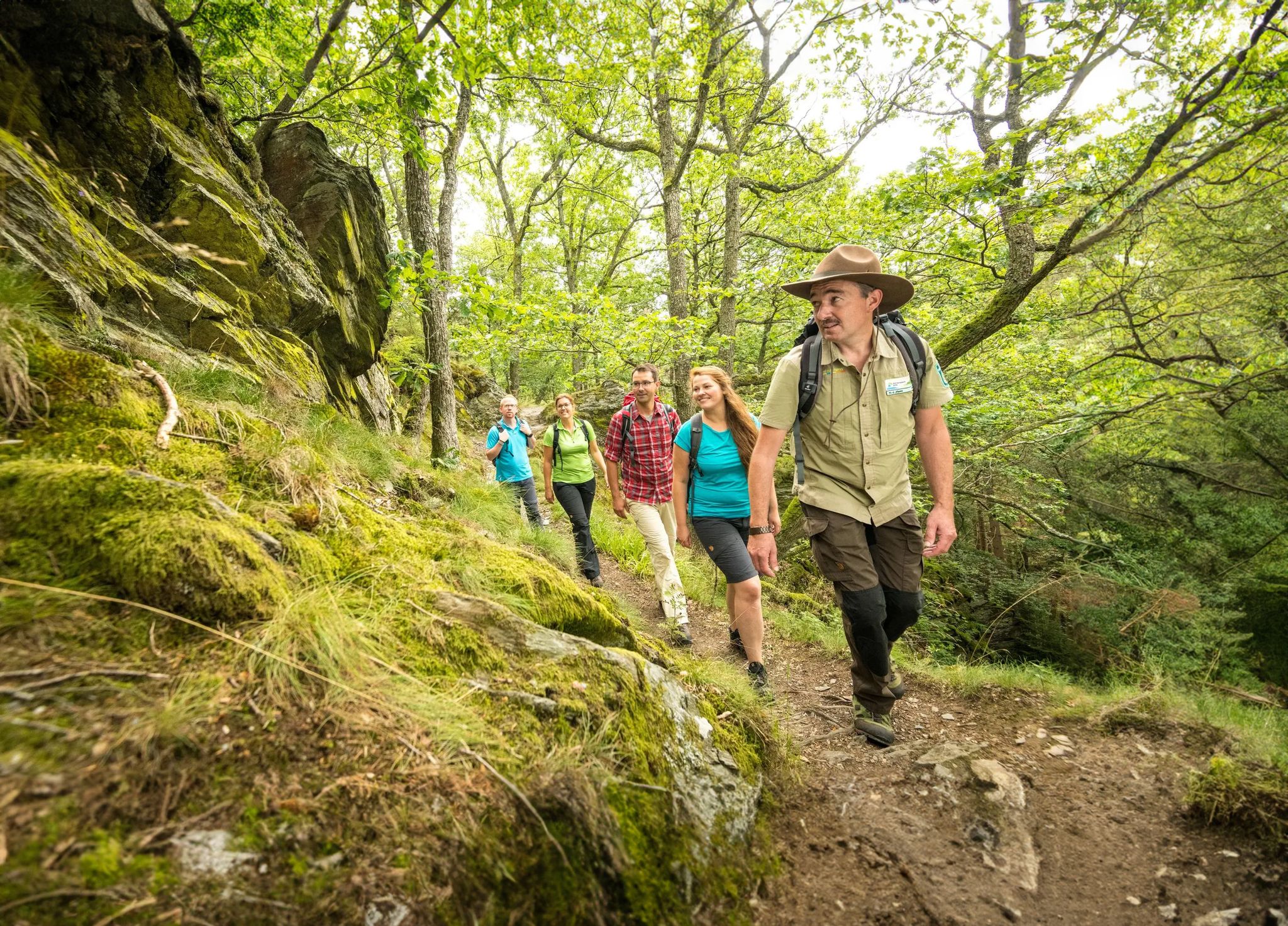
와일더니스 트레일 - 아이펠 국립공원을 거쳐 네 단계

Volcanoes, water, forest – the partner trails of the Eifelsteig
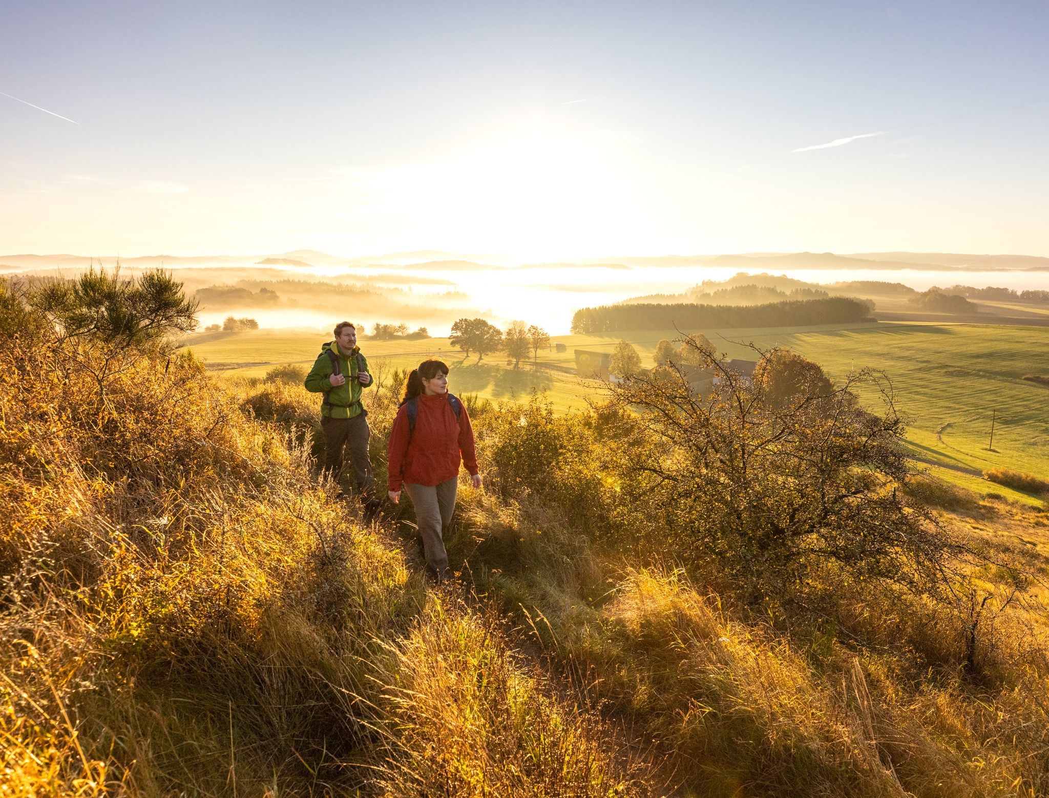
Eifelsteig Trail의 15개 구간 — 암석과 물 사이
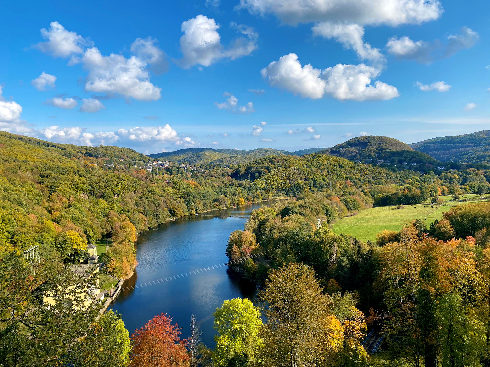
아이델릭 계곡과 아름다운 수도 - 아이펠 탑 경로 자전거 길
아인루르 주변의 다른 모험


커뮤니티 팁


The Kall Valley (Kalltal in German) is the river valley of the Kall River, a tributary of the Rur River. It originates near Konzen (located near Monschau) and flows into the Rur River at Zerkall after approximately 26 kilometers. This valley forms a characteristic landscape in the Eifel region, with a variety of stream valleys, forests, flower-filled meadows, and traditional Eifel villages. Due to the geological development of the region, the river and its tributaries have created an incised valley shape in the Rheinisches Schiefergebirge (Rhenish Slate Mountains), consisting of ancient Lower Devonian rocks and other sedimentary layers, resulting in a diverse and geologically interesting terrain. Ecologically and biologically, the Kall Valley is valuable because it harbors a network of alluvial (river and flood) habitats that are essential for numerous plant and animal species. Originally, the valley consisted primarily of wet alluvial forests with native trees such as birch, alder, ash, and hornbeam, but due to past human exploitation and agriculture, these woodlands had largely disappeared. Recent conservation and restoration efforts focus on reintroducing riverine nature, including restoring river courses, removing artificial obstacles, and re-developing wet meadows and wet forests to allow original natural processes to resume. These restoration projects are creating a rich diversity of habitats along the banks of the Kall, ranging from marshy grasslands and wet meadows to alder swamp forests and flower-rich grasslands. This variety supports considerable biodiversity: plants such as broad-leaved orchids, marsh loosestrife, and other water-loving species thrive in the wetlands, while amphibians, butterflies, dragonflies, and songbirds breed and forage along the river's margins. In addition, beavers, kingfishers, and rare bat species can be observed in the more natural parts of the valley. The valley also offers recreational and educational opportunities for visitors to the Eifel, and several hiking and cycling routes run along the Kall, such as the Kalltalweg and the Kall Trail, which lead you through the valley, past alder galleries, open meadows, and through villages like Zerkall and Vossenack. Along these paths, you'll see views of old mills and traces of historical activities such as water management, allowing you to experience not only nature but also the cultural and historical background of the Eifel landscape.
0
0

A sign at the natural stone bridge points to an old stone bridge, presumably dating back to prehistoric times. The small natural stone bridge, located at a rest area, crosses the Kallbach stream, which rises near Simmerath and flows into the Rur river near Zerkall.
44
1

Comfortable place for a break
0
0


The current parish church was completed in 1912. It was a beautiful and attractive church for its time, as the picture impressively shows. The nave was almost completely destroyed in World War II. Source: Display board
6
0


더 살펴보기
다른 지역의 최고의 MTB 트레일를 살펴보세요.
