올더플라스 최고의 워킹 & 하이킹 경로
4.4
(9054)
36,040
등산객
1,177
하이킹
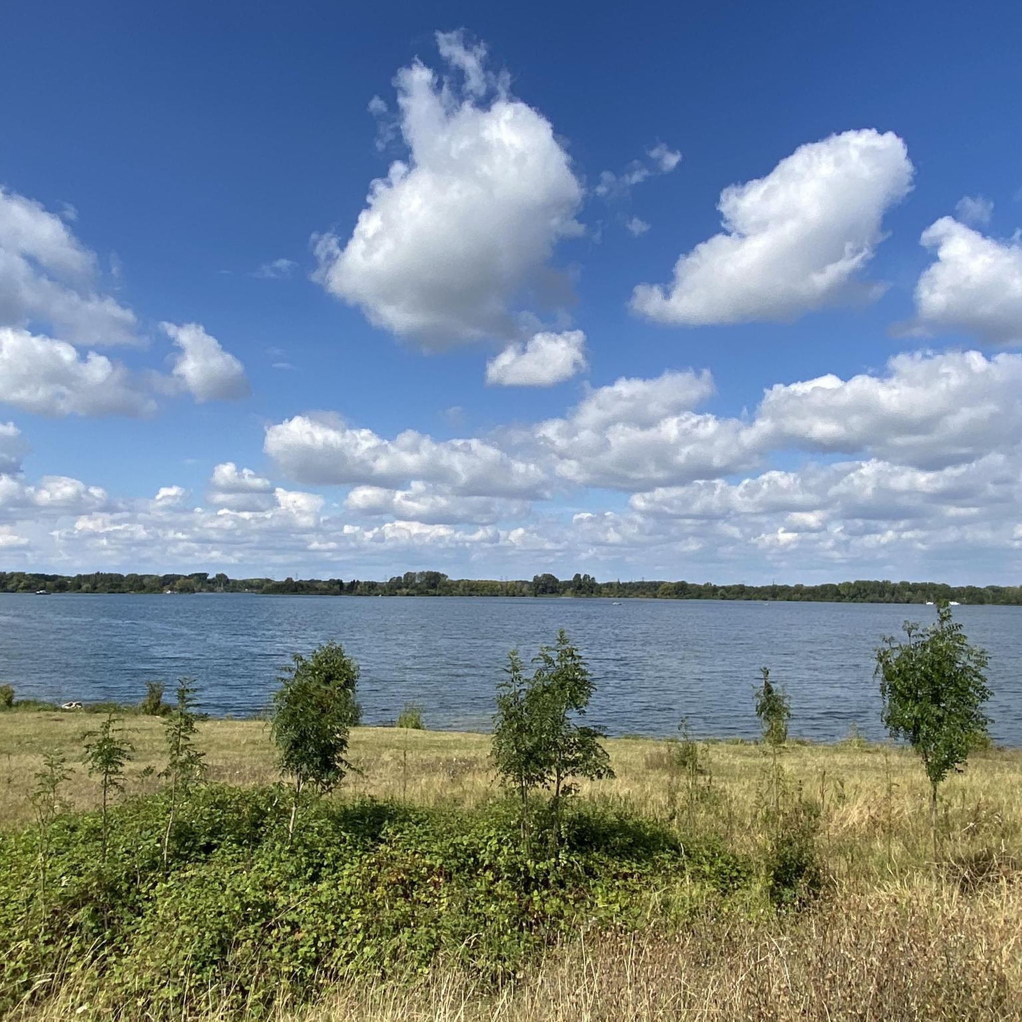
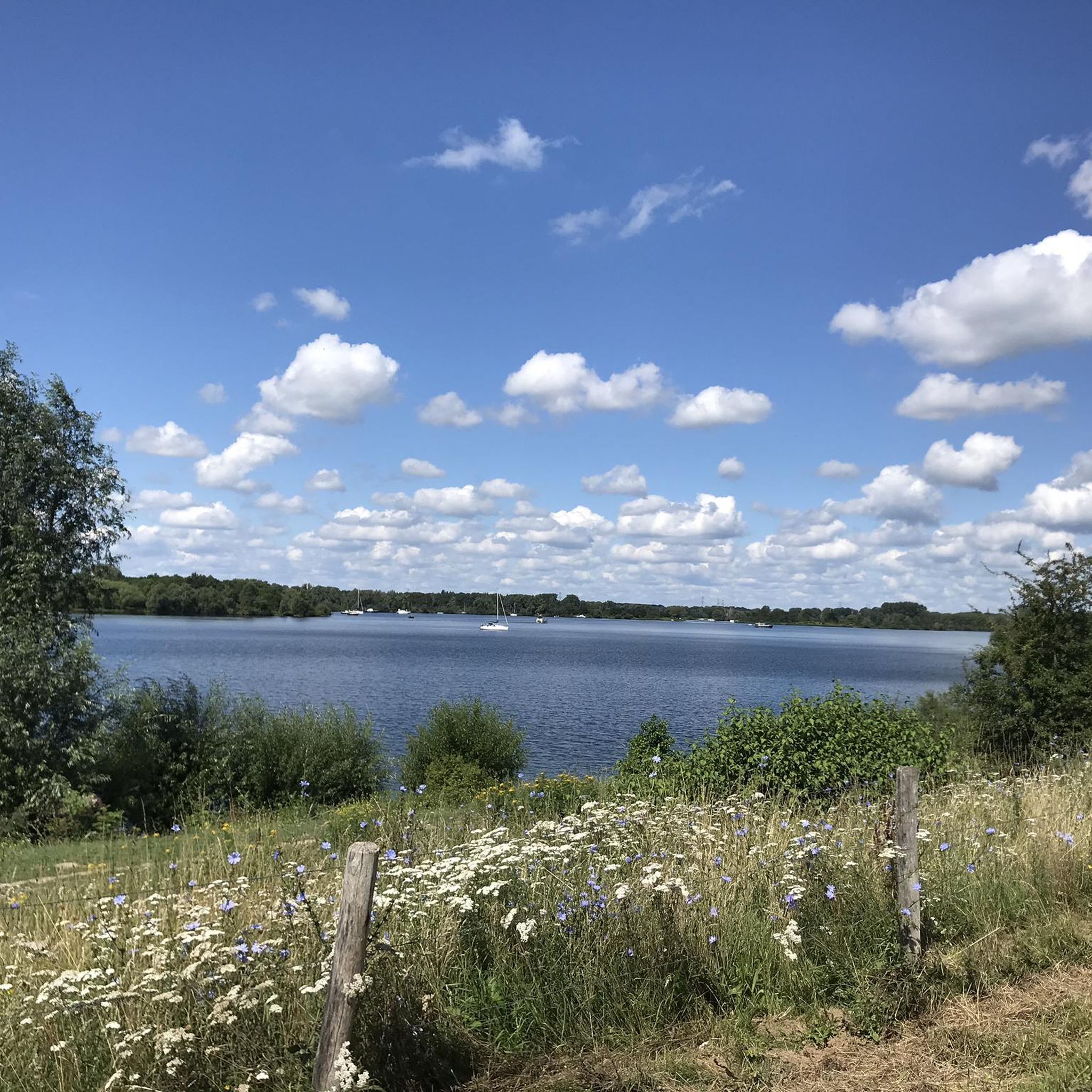
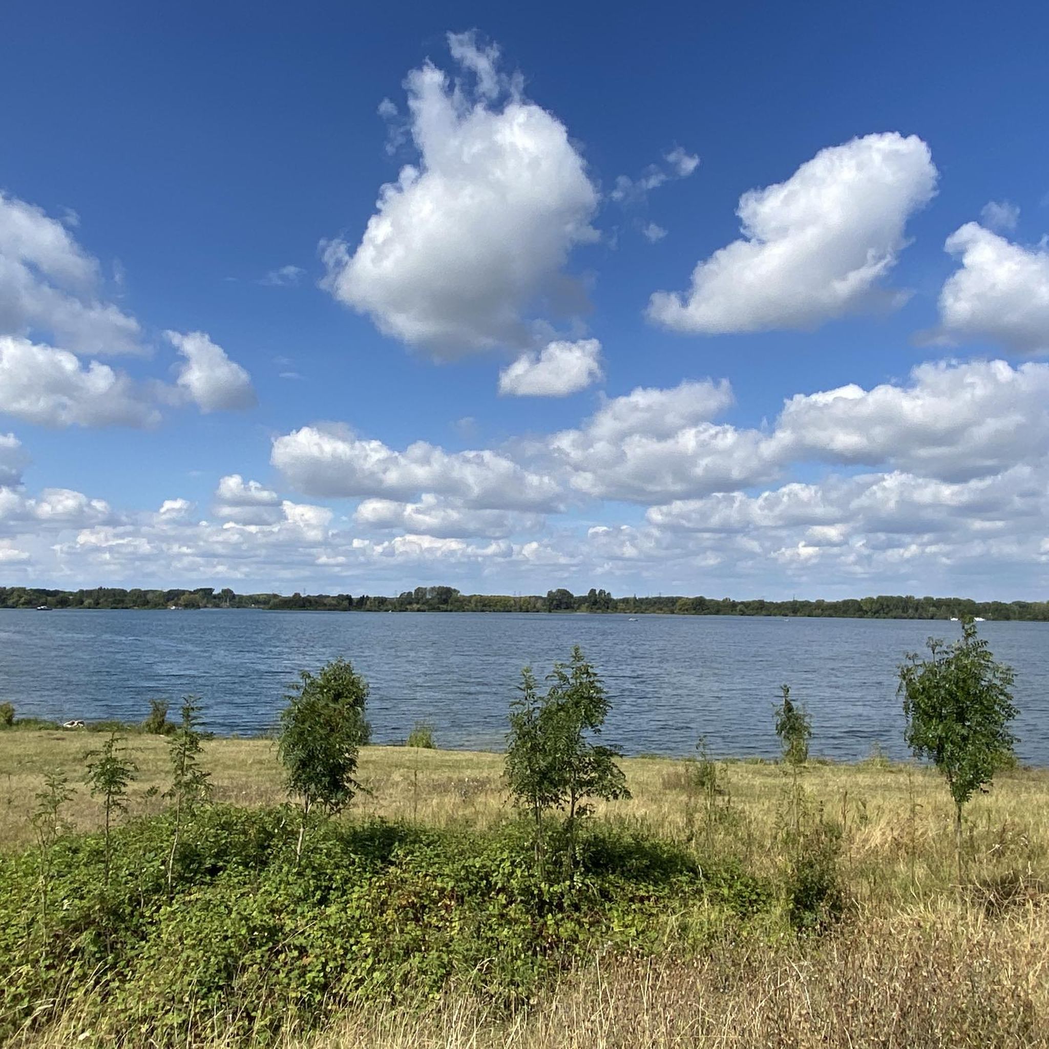
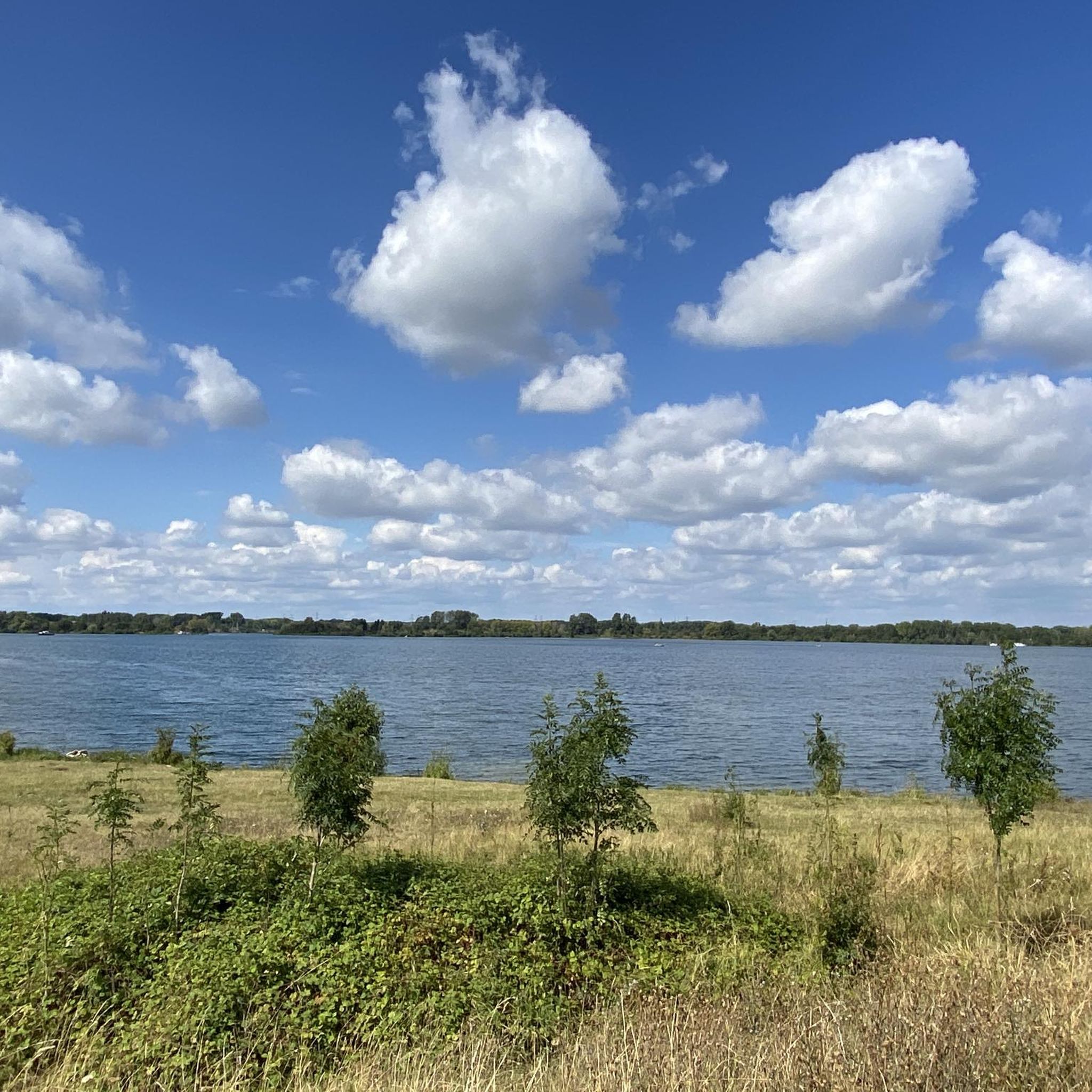
Oolderplas 주변 하이킹은 림뷔르흐 지역의 광활한 레크리에이션 호수의 일부인 Maasplassen 지역을 따라 형성된 풍경 속에서 다양한 경로를 제공합니다. 이 지역은 맑은 물과 Ool 자연 보호 구역 및 Isabellagriend를 포함한 주변 자연 보호 구역이 특징입니다. 이 지역들은 걷기 쉬운 길과 야생마, 소, 비버, 다양한 물새와 같은 야생 동물을 관찰할 기회를 제공합니다. 지형은 일반적으로 평탄하여 여유로운 산책과 자연 탐사에 적합합니다.
Oolderplas 주변 최고의 하이킹 트레일
- 가장 인기 있는 하이킹 경로는 Horn에서 출발하는 Red Bridge over the Hambeek – Roermond Marina 루프로,…
마지막 업데이트: 10월 7, 2026
4.1
(79)
247
등산객
10.1km
02:34
20m
20m
보통 하이킹. 좋은 체력 필요. 실력과 관계없이 누구나 쉽게 갈 수 있는 길.
4.1
(23)
83
등산객
13.2km
03:21
30m
30m
보통 하이킹. 좋은 체력 필요. 실력과 관계없이 누구나 쉽게 갈 수 있는 길.

4.0
(1)
26
등산객
8.87km
02:16
30m
30m
보통 하이킹. 좋은 체력 필요. 실력과 관계없이 누구나 쉽게 갈 수 있는 길.
4.7
(3)
27
등산객
13.1km
03:20
30m
30m
보통 하이킹. 좋은 체력 필요. 실력과 관계없이 누구나 쉽게 갈 수 있는 길.
22
등산객
5.11km
01:18
10m
10m
초급용 하이킹. 모든 체력 수준에 적합. 실력과 관계없이 누구나 쉽게 갈 수 있는 길.
더 다양한 경로와 다른 탐험가들의 추천을 살펴보세요.
이미 komoot 계정이 있나요?
투어 추천은 다른 사람들이 komoot에서 완료한 수천 개의 활동을 바탕으로 구성되어 있습니다.
오늘 무료 계정으로 시작하세요
다음 모험이 기다리고 있어요.
커뮤니티 팁

주변에 물이 많고 멋진 도시 풍경을 자랑하는 마스 강변의 매우 아름다운 도시입니다. 정말 마음에 들었습니다.
0
0


You can cross the weir on foot or by bike, from Linne to Heel
0
0

린네 댐은 네덜란드 림뷔르흐주 린네와 마스브라흐트 마을 사이의 마스강 수력 시설의 중요한 부분입니다. 이 댐은 마스강의 수위를 조절하고 강을 항해 가능하게 하며, 린네 근처의 수문과 함께 이 지역의 강 인프라의 필수적인 부분입니다. 댐 주변에는 자전거 도로도 있으며, 이는 전국 및 지역 자전거 도로망의 일부를 구성하고 있으며, 통근 및 레저용으로 많은 자전거 이용자들이 매일 이용하고 있습니다. 린네 댐은 20세기 초 마스강의 항해성을 개선하고 수위를 조절하기 위한 대규모 프로젝트인 마스강 정상화 사업의 일환으로 건설되었습니다. 댐 자체는 1925년에 지어졌으며, 당시 마스강의 더 큰 선박의 항해를 가능하게 하고 홍수를 방지하기 위해 마스강 최초의 댐 중 하나로 공식적으로 운영에 들어갔습니다. 댐 구조물에는 일련의 콘크리트 기둥 위에 큰 강철 셔터가 통합되어 있습니다. 이 셔터는 개폐하여 하류로 흐르는 물의 양을 조절할 수 있습니다. 셔터와 그 메커니즘(콘크리트 부분 위의 강철 제어교 포함)은 마스브라흐트에 있는 제어 센터와 파이프 및 케이블로 연결되어 있으며, 이곳에서 수위와 제어 설정이 제어됩니다. 댐 위에는 자전거 및 보행자 다리가 있으며, 이는 종종 댐의 자전거 도로라고 불립니다. 이 다리를 통해 마스강의 한쪽 강둑에서 다른 쪽 강둑으로 안전하게 자전거를 타거나 걸어갈 수 있습니다. 마스강이 넓고 지류 유량이 가변적이므로, 이 다리는 지역 자전거 도로망에서 중요한 연결고리를 형성하며, 레저용 자전거 이용자와 통근자들에게 인기가 있습니다. 자전거 도로는 물 바로 위에 있으며, 마스강의 흐름과 댐의 구조를 독특하게 조망할 수 있고, 수위가 높을 때는 강의 힘을 볼 수 있습니다. 많은 사람들에게 이곳은 마스강의 역동성을 말 그대로 경험할 수 있는 인지도가 높은 장소이며, 이 지역을 아는 주민들과 방문객들이 자주 언급하는 곳입니다. 최근 몇 년 동안 린네 댐은 원래 부품인 강철 셔터와 제어교가 기술적 수명에 가까워짐에 따라 광범위한 유지보수가 필요하게 되었습니다. 이 대규모 유지보수는 Rijkswaterstaat의 의뢰로 Mourik Infra BV가 수행하고 있으며, 댐의 수명을 수년간 보장하기 위해 여러 해(2024-2026)에 걸쳐 계획되었습니다. 유지보수는 주로 셔터가 걸려 있는 댐의 더 높은 콘크리트 부분인 소위 '스토니' 구역에 중점을 둡니다. 주요 작업에는 강철 제어교의 제거 및 개조, 물을 조절하는 셔터 교체, 새 구동 장치 설치, 특수 설치된 건조 장치를 사용하여 댐 개구부를 건조시킨 후 콘크리트 수리가 포함됩니다. 자전거 도로는 댐 구조물 바로 위에 있기 때문에, 약 80톤 무게의 제어교와 같은 거대한 부품을 안전하게 들어 올리고 조립하기 위해 유지보수의 특정 단계에서는 임시로 제거해야 합니다. 따라서 자전거 도로는 2025년 9월과 10월에 특정 날짜에 폐쇄되었으며, 자전거 및 보행자 통행은 현장에 표시된 표지판을 따라 우회해야 했습니다. 또한 2025년 유지보수 연도의 초반에도 부품을 꺼내 가공할 수 있도록 자전거 도로가 폐쇄된 기간(예: 5월 5일부터 23일까지)이 있었습니다. 린네 댐을 포함한 마스강의 7개 댐은 점차 원래의 운영 수명 종료 시점에 가까워지고 있습니다. 따라서 Rijkswaterstaat는 각 위치에 대해 최상의 접근 방식(린네와 같은 대규모 유지보수 또는 장기적인 교체)을 조사하고 있습니다. 연간 저수기(약 4월 중순부터 10월 중순까지) 동안 작업을 단계적으로 수행함으로써 선박 운항 및 마스강 관리에 대한 방해를 최대한 줄일 수 있지만, 자전거 교통에는 일시적인 혼란이 발생할 수 있습니다.
0
1
The Limburg Poetry Route in Linne is a small-scale yet distinctive poetry route that connects language, landscape, and village identity. Poems in the Limburg dialect are displayed on panels, signs, or other media in public spaces throughout the village and along walking paths. The route invites walkers not only to experience the landscape but also to reflect on the words, sounds, and dialect that are deeply rooted in the local culture. The poetry route is based on the idea that language is an essential part of Limburg identity. Limburgish, recognized as a regional language, is strongly alive in villages like Linne, where traditions, associations, and a sense of community are still visibly present. By literally placing poetry in the streets, the dialect is not only preserved but also actively experienced. The poems address diverse themes such as nature, memory, the Meuse landscape, and love for the village and everyday life. This creates a poetic walk that can be both recognizable and moving for residents and visitors. The route passes through characteristic places in and around Linne. Imagine streets in the village center, green spaces along the Meuse River, and quiet walking paths where the rhythm of the village is palpable. The combination of water, open air, and dialect poetry gives the walk a tranquil atmosphere. Words gain extra meaning when read with a view of the Meuse landscape or among the greenery of the village outskirts. The surroundings serve as a natural backdrop for the texts, allowing language and landscape to merge seamlessly. The Limburg Poetry Route fits within a broader tradition of poetry routes in the Netherlands and Belgium, but distinguishes itself through its emphasis on regional language and local involvement. The poets often come from the region or have close ties to Linne. As a result, the texts reflect not only literary creativity but also a sense of community. The initiative strengthens the village's cultural image and encourages residents to be proud of their language and history.
1
0
Roermond City Marina is a large marina and watersports location in the small village of Herten on the outskirts of Roermond in the province of Limburg, the Netherlands. The marina is situated on the Maasplassen, one of the largest connected watersports areas in the Benelux region, where rivers and lakes converge, making watersports a key component of leisure and recreation in the region. The marina complex has undergone extensive renovations and improvements in recent years, and between 2016 and 2021, the marina was completely redeveloped and modernized, making it one of the highest-quality inland marinas in Central Limburg. The renovation resulted in a modern, low-maintenance marina with excellent facilities for berth holders and visitors. Roermond City Marina consists of two sections: the larger section, known as City Marina itself, and the smaller section, Next Door. The main marina section has approximately 520 berths spread across 12 floating jetties, accommodating boats ranging from 6 to 20 meters in length. The smaller Next Door marina has two additional jetties with approximately 97 berths and a floating sanitary building. All jetties are equipped with water and electricity connections year-round, and the marina boasts a modern building with excellent sanitary facilities, including toilets, showers, and winter storage and maintenance facilities. There is also a parking lot with access control, lighting, environmental waste disposal points, and chemical toilet disposal facilities. The marina is situated on almost 21 hectares of private land and water, offering ample space for both boats and associated facilities. Harbormasters are on hand to assist berth holders with mooring their boats, and there are facilities for both permanent seasonal moorings and passing moorings for passing water sports enthusiasts who want to explore the Maasplassen lakes and the surrounding countryside. City Marina is located in the village of Herten, just a few kilometers from Roermond's historic city center. From the marina, you can easily cycle or walk to shops, restaurants, and amenities in Herten itself, as well as to the city of Roermond with its extensive shopping offerings, including the renowned Designer Outlet Center, and historical sights. Its location on the Maasplassen lakes makes the harbor ideal for water sports enthusiasts. This lake and river environment offers opportunities for boating, sailing, fishing, and recreational use of the water. Many permanent mooring holders return here year after year for the combination of natural tranquility and excellent infrastructure.
0
0
The Vismarkt (Fish Market) in Roermond is one of the oldest and most characteristic places in the historic city center. As the name suggests, this square was traditionally the center of the fish trade, a logical consequence of Roermond's location on the Roer and Meuse rivers. The Vismarkt is therefore a direct reminder of a time when water and trade were inextricably linked. The square is located a short distance from the river and was part of the city's economic heart. Here, fishermen, traders, and residents gathered to trade fresh fish, but also to exchange news and socialize. The proximity of the water ensured that fish could be delivered quickly, making the Vismarkt a vibrant and important hub in daily city life. Over the centuries, the Vismarkt's function changed, but the square retained its central role. Today, it is an atmospheric urban space with historic buildings, restaurants, and terraces. Its original commercial function has given way to a place for meeting and relaxing, but its name and location continue to evoke the past.
0
2
자주 묻는 질문
Oolderplas 주변에는 얼마나 많은 하이킹 트레일이 있나요?
Oolderplas 주변에는 1,100개 이상의 하이킹 트레일이 있어 이 지역의 독특한 풍경을 탐험할 수 있는 다양한 옵션을 제공합니다. 이 경로의 대부분은 쉬움에서 보통 수준으로 간주되어 많은 하이커들이 접근하기 좋습니다.
Oolderplas 지역 하이킹의 일반적인 난이도는 어느 정도인가요?
Oolderplas 지역은 일반적으로 평탄한 지형으로 유명하여 대부분의 하이킹이 쉬움에서 보통 수준입니다. 800개 이상의 경로가 쉬움으로 분류되고, 300개 이상이 보통 수준입니다. 이로 인해 이 지역은 다양한 체력 수준에 적합한 여유로운 산책과 자연 탐험에 이상적입니다.
Oolderplas 주변에 가족 친화적인 하이킹 옵션이 있나요?
네, Oolderplas는 매우 가족 친화적입니다. 평탄한 지형과 잘 관리된 길은 아이들과 함께 여유로운 산책을 즐기기에 적합합니다. 쉬운 경로 중 다수는 짧은 외출에 완벽하여 가족들이 함께 자연의 아름다움을 즐기고 야생 동물을 관찰할 수 있습니다.
Oolderplas 주변 하이킹 트레일에 강아지를 데려갈 수 있나요?
이 지역의 자연 보호 구역과 트레일은 일반적으로 개에게 환영하지만, 특히 Isabellagriend와 같은 야생 동물이 있는 지역에서는 항상 목줄을 착용하는 것이 가장 좋습니다. 이는 반려동물과 지역 야생 동물의 안전을 보장합니다. 항상 개 배설물을 치우는 것을 잊지 마세요.
하이킹 중에 어떤 종류의 자연적 특징과 야생 동물을 볼 수 있나요?
Oolderplas 지역은 자연의 아름다움이 풍부합니다. 넓게 펼쳐진 맑은 물, Ool 자연 보호 구역 및 Isabellagriend와 같은 고요한 자연 보호 구역을 만나게 될 것입니다. 이 지역은 다양한 물새, 야생마, 소, 심지어 비버를 포함한 다양한 야생 동물의 서식지로, 관찰 기회를 제공합니다.
순환 하이킹 경로가 있나요?
네, Oolderplas 주변에는 시작점과 종료점이 같은 순환 경로가 많이 있습니다. 예를 들어, Horn에서 출발하는 Red Bridge over the Hambeek – Roermond Marina 루프는 인기 있는 보통 난이도의 순환 트레일이며, Horn에서 출발하는 View of the Oolderplas – Frends Beach Club Roermond 루프는 순환 형식으로 경치 좋은 전망을 제공합니다.
하이킹 트레일을 따라 어떤 주목할 만한 명소나 관광지가 있나요?
트레일을 따라 넓게 펼쳐진 Oolderplas 자체를 탐험하거나, 고요한 Ool 자연 보호 구역을 방문하거나, 야생 동물이 풍부한 Isabellagriend를 발견할 수 있습니다. 휴식을 위해 Frends Beach Club Roermond도 물가 근처의 인기 있는 장소입니다.
Oolderplas 주변을 하이킹하는 데 보통 얼마나 걸리나요?
하이킹 시간은 선택한 경로와 속도에 따라 다릅니다. 예를 들어, 약 9.3km인 Horn에서 출발하는 View of the Oolderplas – Frends Beach Club Roermond 루프는 보통 약 2시간 22분이 소요됩니다. 13.2km인 Horn에서 출발하는 Linne Weir and Cyclist Bridge – Linne Harbor 루프와 같은 더 긴 경로는 3시간 이상 걸릴 수 있습니다.
하이킹 트레일 근처에 식사하거나 음료를 마실 수 있는 곳이 있나요?
네, Oolderplas 지역에는 편리한 편의 시설이 있습니다. Frends Beach Club Roermond와 같은 비치 클럽과 수상 스포츠 센터가 있어 하이킹 후 음료를 마시고 휴식을 취하기에 좋은 장소입니다.
다른 하이커들이 Oolderplas 트레일에서 가장 즐기는 것은 무엇인가요?
Oolderplas 트레일은 7,900개 이상의 리뷰에서 평균 4.4점의 높은 점수를 받으며 komoot 커뮤니티에서 높이 평가받고 있습니다. 하이커들은 종종 고요한 자연의 아름다움, 맑은 물, 그리고 야생 동물 관찰을 위한 훌륭한 기회를 칭찬합니다. 잘 관리되고 접근하기 쉬운 길과 평탄한 지형 또한 모든 사람에게 즐거운 하이킹 경험을 선사합니다.
Oolderplas를 방문하는 하이커들을 위한 주차 공간이 있나요?
네, 일반적으로 Oolderplas 근처, 특히 인기 있는 트레일 시작점과 비치 클럽과 같은 편의 시설 근처에 주차 시설이 있습니다. 선택한 하이킹에 가장 편리한 주차 옵션을 확인하려면 특정 경로 설명을 확인하는 것이 좋습니다.
올더플라스 주변에서 가장 인기 있는 명소


더 살펴보기
다른 지역의 최고의 하이킹를 살펴보세요.
