경로

플래너

기능

업데이트

App

로그인 또는 가입

앱 다운로드

로그인 또는 가입

로그인 또는 가입

경로
하이킹
네덜란드
림부르크

발켄부르크 안 데 겔

경로
하이킹
네덜란드
림부르크

발켄부르크 안 데 겔

발켄부르크 안 데 겔 최고의 워킹 & 하이킹 경로

4.5

(7073)

30,969

등산객

391

하이킹

정확한 경로를 찾는 것이 때로는 어렵지만 발켄부르크 안 데 겔에서 하이킹을 하면 다양한 경치를 마음껏 감상할 수 있답니다. 발켄부르크 안 데 겔에서 가장 멋진 하이킹과 워킹 중에서 마음에 드는 활동을 시작해보세요.

마지막 업데이트: 5월 24, 2026

4.6

(325)

1,145

등산객

#1.

Valkenburg aan de Geul에서 출발하는 스칼로엔 성 – Oostervoetpad — 게울을 따라 순환 코스

7.24km

01:57

90m

90m

초급용 하이킹. 모든 체력 수준에 적합. 실력과 관계없이 누구나 쉽게 갈 수 있는 길.

기기에서 길안내

휴대폰으로 전송

저장

초급

보통 하이킹. 좋은 체력 필요. 실력과 관계없이 누구나 쉽게 갈 수 있는 길.

보통
guide_signup
저희가 komoot 모바일 앱로 길을 안내해 드리겠습니다.
무료 komoot 계정로 끝없는 야외 모험을 손쉽게 찾고, 맞춤 설정하며 길안내할 수 있어요.

무료 회원 가입

보통 하이킹. 좋은 체력 필요. 실력과 관계없이 누구나 쉽게 갈 수 있는 길.

보통

어려운 하이킹. 우수한 체력 필요. 실력과 관계없이 누구나 쉽게 갈 수 있는 길.

어려움

보통 하이킹. 좋은 체력 필요. 실력과 관계없이 누구나 쉽게 갈 수 있는 길.

보통
무료 회원 가입 후 발켄부르크 안 데 겔 주변 하이킹 경로를 387개 더 확인하세요

더 다양한 경로와 다른 탐험가들의 추천을 살펴보세요.

무료 회원 가입

이미 komoot 계정이 있나요?

투어 추천은 다른 사람들이 komoot에서 완료한 수천 개의 활동을 바탕으로 구성되어 있습니다.

오늘 무료 계정으로 시작하세요

다음 모험이 기다리고 있어요.

로그인 또는 가입하기

발켄부르크 안 데 겔 주변 인기 장소

비아 코리오발룸 - 네덜란드 남 림부르크 지방의 순례
's-Hertogenbosch 에서 Maastricht (그리고 더 멀리) – 순례자의 길 제2부
한다 일스 후 수 - 로번호 일스 일스음 일스 일스
Railrunner-경로 - 역에서 역까지의 15개 하이킹
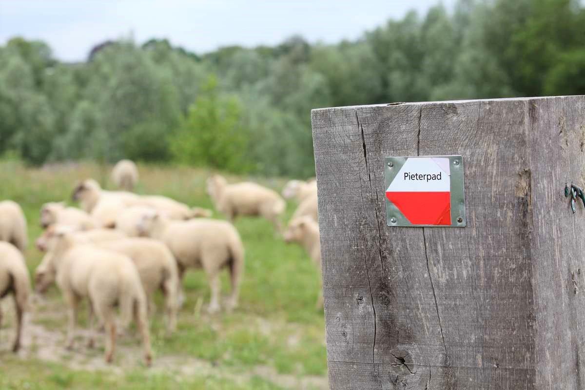
북해도 성 보르덴 성에서 산텉테르베르크까지 - 피테르파트 코스 2부
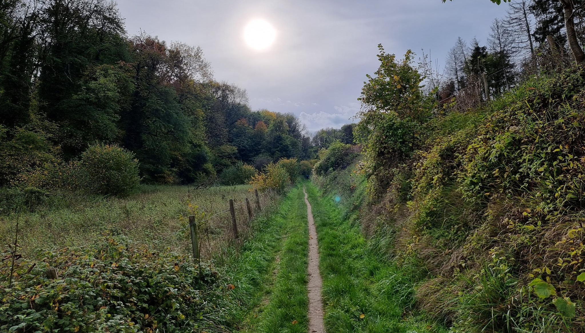
더 림버그200 MTB 울트라 – 진정한 마운틴바이크 도전
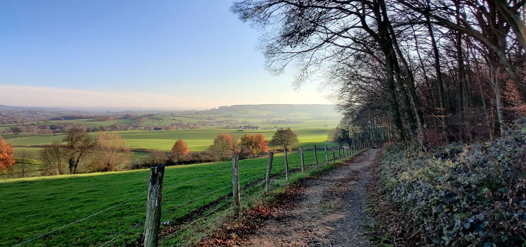
이틀 동안 헤이벌란트 그래블 - Limburg200 Gravel
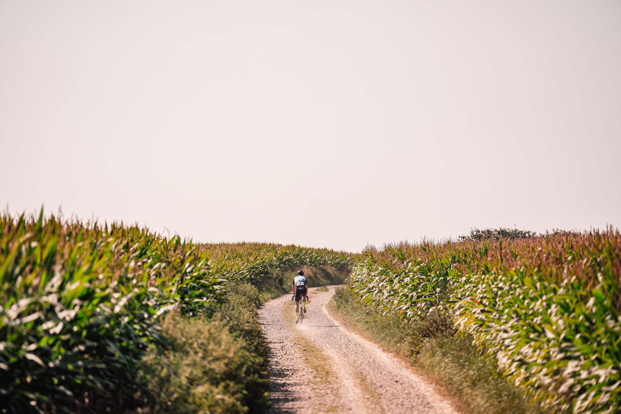
Gravel - Shimano EC Valkenburg
MTB - Shimano EC Valkenburg
Race - Shimano EC Valkenburg

발켄부르크 안 데 겔 주변의 다른 모험

비아 코리오발룸 - 네덜란드 남 림부르크 지방의 순례

하이킹 컬렉션 에 의해

Sabina Knezevic - Farawayistan

커뮤니티 팁

Lambert Claassen
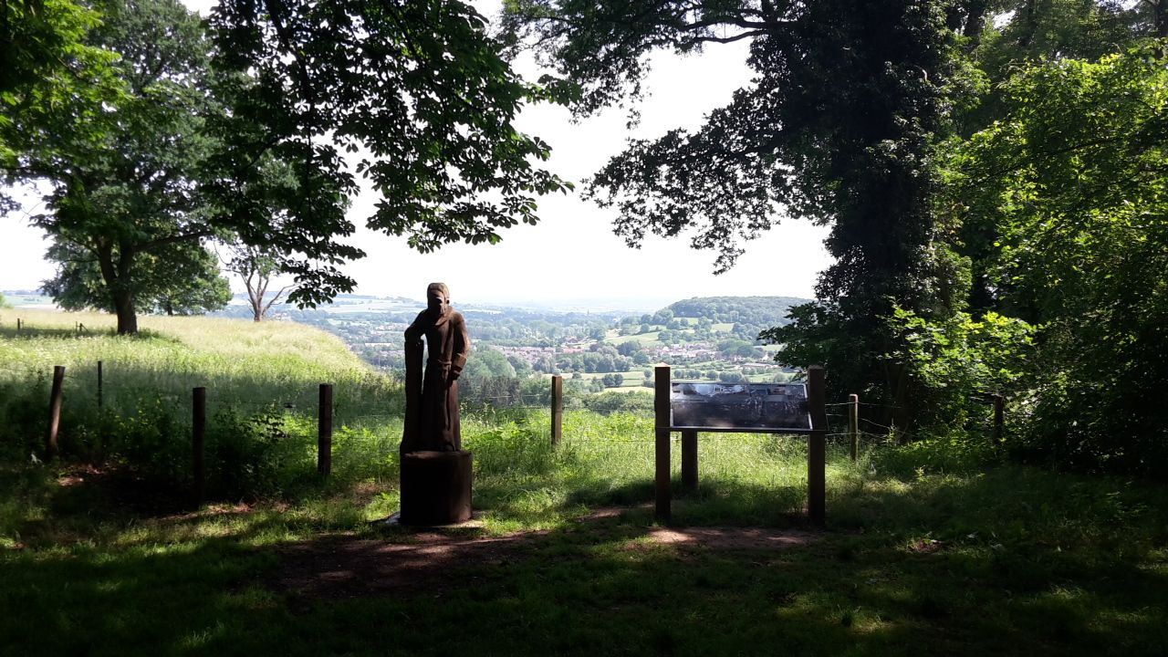
3월 16, 2026, Uitzicht Over Het Geuldal

Beautiful view over the hilly countryside (L)

번역: Google

0

0

Along the Göhl Valley route, you can cross the Geul stream at Oost Castle in the Geul Valley and continue hiking towards Valkenburg. The path follows the Geul almost into the town center. Alternatively, the bridge allows you to continue hiking along the Geul towards Schaloen Castle.

번역: Google

0

0

Along the rippling Geul River, an impressive marlstone wall rises, a silent witness to Limburg's underground landscape. These calcareous rocks were used for centuries for construction and crafts and now offer a fascinating sight for hikers and nature lovers. The wall forms a natural boundary along the water and, in some places, harbors small caves and niches where flora and fauna have found a home. The contrast of the white marl against the green foliage and the glistening water of the Geul makes this a particularly photogenic and tranquil spot during your walk.

번역: Google

0

0

From this vantage point, you have a magnificent view of the Geul Valley, where forests, meadows, and meandering streams create a picturesque landscape. The valley exudes tranquility and history, with its ancient villages, fields, and hills that typify the typical Limburg hills. The view changes with the seasons: in spring, wildflowers bloom along the banks, in summer the Geul reflects the sun's rays, and in autumn, the valley takes on warm shades of gold and red.

번역: Google

1

0

The Geul Valley is one of the most beautiful and characteristic landscapes in South Limburg. Here, the Geul meanders like a silver ribbon through green meadows, sloping forests, and flower-filled grasslands. The valley exudes tranquility and history: it is a landscape shaped over the centuries by water, man, and nature. Along the river lie countless old watermills, once the beating heart of the Limburg countryside. Mills such as the Volmolen, the Geulhemermolen, and the Schaloensmolen recall a time when flowing water brought not only life but also labor and crafts. Some mills are still in operation, while others have been lovingly restored into cafés, homes, or museums… all with the rhythm of the Geul as a backdrop.

번역: Google

0

0

The Geul is one of the most characteristic rivers in South Limburg. It rises in Belgium near the village of Lichtenbusch and then winds for approximately 58 kilometers through the Limburg hills before flowing into the Meuse near Bunde. Along the way, the Geul forms the heart of numerous nature reserves, such as the Geul Valley Ingendael and the Gerendal, and flows past charming villages like Valkenburg Meerssen and Epen. What makes the Geul so special is its natural course… it is allowed to meander freely, constantly creating new bends, gravel banks, and levees. This dynamic attracts countless animals, from kingfishers to brook lampreys, and ensures that the river is constantly changing with the seasons. Along its banks, you'll find quiet walking paths, old mills, bridges, and field crosses. The gentle murmur of the water accompanies you along the way, while the scent of grass and damp earth reminds you that this valley has been alive and breathing for centuries.

번역: Google

0

0

Between Valkenburg aan de Geul and Houthem-St. Gerlach stretches the enchanting Ingendael nature reserve—a semi-wild area where the Geul River is allowed to meander freely through grasslands, thickets, and copses. The area is managed by Natuurmonumenten (Dutch Society for Nature Conservation) and is a prime example of how nature is allowed to find its own way. Here, Galloway cattle and Konik horses graze freely, causing the landscape to constantly change. Ancient river arms, flower-rich grasslands, and wet thickets foster a rich biodiversity with rare plants and countless birds. In spring, the meadows are bathed in yellow marsh marigolds, while in autumn, mist hangs over the valley… a magical sight. A walk or bike ride through Ingendael brings you close to the Geul's natural course and offers magnificent views of Château St. Gerlach and the surrounding hills. The silence, the gentle murmur of the water, and the crunch of hay underfoot create a place of pure tranquility.

번역: Google

0

0

Mike
11월 7, 2025, View of the Geul

From this vantage point, you have a magnificent view of the Geul, the meandering river that winds its way through the Limburg hills. Between the sloping forests, meadows, and old farmhouses, the water glistens in the light… sometimes still and clear, sometimes gently flowing over stones. It's a place where time seems to stand still, and where the sounds of birds and rippling water fill the silence. The Geul is one of the most beautiful rivers in South Limburg, known for its natural course, its banks teeming with fish, and the interplay between man and landscape. From this vantage point, you can follow the meandering river and watch it weave its way between grasslands and treelines… a living painting that changes color with each season.

번역: Google

0

0

발켄부르크 안 데 겔 주변에서 가장 인기 있는 경로

발켄부르크 안 데 겔 로드 사이클링 경로

발켄부르크 안 데 겔 주변에서 가장 인기 있는 명소

Places to see

Store rating

komoot 모바일 앱으로 영감을 받아보세요

무료 komoot 계정로 끝없는 야외 모험을 손쉽게 찾고, 맞춤 설정하며 길안내할 수 있어요.

또는

지금 komoot에 가입하세요

Store rating

더 살펴보기

다른 지역의 최고의 하이킹를 살펴보세요.

뢰르달렌마인웨그 국립공원바알베르겐드 마스두이넨 국립공원묵 엔 미델라르굴펜-위템네더위르트비즐레네르보스비보쉬마스트리히트아이즈덴-마르그라텐히를렌브룬서머하이데마그라튼마스고우아이즈덴호르스트 안 데 마스백달렌슈바이베르거보쉬아르센 엔 벨덴Sint Pietersberg & Jekerdal벤로라벤스보쉬누스케르크라데브룬섬뢰르몬드쉬넨Landgoed de Hamert마스브라흐트무커플라스메르센시타르 겔렌헤일렌위르트헤이투이센루달보렌달가시스왈맨메를로완섬사벨스보스제넵필 엔 마스부리Mookerheide온더방켄딱정벌레스타인Sint-Jansberg에흐트-주스테렌Holtmühle벤레이심펠벨트로겔 엔 니르세븐눔분더보스랜드그라프Landgoed Arcen암트 몽포르Grauwveen헬든Leeremarksche Heide마리아필Bemelerberg & Schiepersberg마스브리베르테르보스Weerter- En BudelerbergenRoerdalMunningsboschRosendaal케셀Asbroekerheide En Kirkelsberg올더플라스슈이트워터Sarsven En De Banen훈셀메이젤그로테 아이제렌 맨Maaspark WellGeleenbeekdalBeegder HeideGemeentebossen SwalmenLaurabossenWaterbloemLandgoed GeysterenBunder- En ElslooërbosGruise EpperNatuurgebied Rode Beek-Heringsbosch드 바넨Het SohrSchadijksche BosschenHouthuizerheideCraijelse HeideMarisbergBoschhuizenGroote HeideHet SweeltjeHillenraad Boshei NieuwenhofAnnendaalsboschHeldense BossenBoschhuizerbergenZwartwaterZwart WaterBallonzuilbossenVliegveldbossenTestrikLuzenkampKempkensbergBoekenderbosWandelpark TegelenTungelerwallen

근처 어드벤처 가이드

비보쉬 즐길거리

background

새로운 정복을 위한 준비를 하세요

무료로 가입하기

탐험하기
경로경로 플래너기능하이킹MTB 트레일로드 사이클링 경로바이크패킹사이트맵
앱 다운로드
소셜 미디어에서 팔로우하기

© komoot GmbH

개인 정보 보호 정책