바실리카타 최고의 MTB 라이딩 경로
4.5
(563)
3,920
자전거 타는 사람
592
라이딩
바실리카타에서 하이킹하며 이탈리아 구석 부분까지 살펴볼까요? 바실리카타에 있는 모든 하이킹 및 워킹 경로 컬렉션 중 가장 멋진 하이킹 경로를 엄선하여 소개해드릴게요. 다른 하이커가 공유한 실제 팁과 사진을 살펴보고 후기를 읽으며 마음에 드는 바실리카타 워킹 경로를 찾아보세요.
마지막 업데이트: 10월 10, 2026
3.5
(2)
32
자전거 타는 사람
46.3km
04:04
830m
830m
This difficult mountain bike route, Matera - Parco Nazionale delle Murge, takes you on a 28.8-mile (46.3 km) journey with 2724 feet (830 metres) of elevation gain, typically completed in about 4 hours and 4 minutes. You will ride through a mix of rock, asphalt, gravel, and dirt paths across a vast limestone plateau, encountering ancient quarries and single tracks overlooking the Gravina river canyon. The scenery is a major highlight, offering views of the ancient city of Matera's Sassi districts and the Park of Rock Churches, which is dotted with rupestrian churches and prehistoric sites.
Given the difficult rating, this trail requires good fitness and advanced riding skills; some sections may even necessitate pushing your bike. The varied terrain, including narrow paths and gorges, demands your full attention and preparation. Make sure your mountain bike is in excellent condition and you carry enough water and supplies for the duration, especially since the route covers a significant distance and elevation.
What makes this trail particularly notable is its unique blend of natural beauty and profound historical significance. You will traverse paths used since Neolithic times, exploring a UNESCO World Heritage site filled with ancient rock churches, caves, and quarries. The opportunity to cycle through such an ancient landscape, with the dramatic backdrop of Matera's Sassi, offers a deeply immersive cultural and historical experience alongside the physical challenge.
5.0
(3)
18
자전거 타는 사람
30.8km
03:32
1,200m
1,190m
Prepare for a challenging mountain biking adventure on the Colle Impiso and Piana del Pollino Loop. This difficult route covers 19.1 miles (30.8 km) and demands a significant effort, with 3932 feet (1198 metres) of elevation gain over an estimated 3 hours and 32 minutes. You will navigate varied terrain, from dirt tracks to technical sections, often surrounded by ancient beech forests. As you climb, look out for the unique loricate pines that dot the landscape. The ride offers diverse scenery and a true test of your skills.
The Colle Impiso and Piana del Pollino Loop begins near Piano di Jannace, nestled within the expansive Parco Nazionale del Pollino. While specific parking details are not provided, you can typically find parking at trailheads or in nearby villages within national parks. Before you head out, always check local regulations for any permits or specific access requirements. Be aware that some sections of this demanding route may require you to push your bike.
This loop takes you through a UNESCO Global Geopark, showcasing the natural splendor of the Pollino massif. From the Piano di Jannace plateau, you can enjoy panoramic views of prominent peaks like Serra di Crispo and Monte Pollino. The diverse landscape, from ancient forests to open plateaus, highlights the rich biodiversity of this protected area. This trail offers a deep immersion into one of Italy's most significant natural parks.

5.0
(3)
27
자전거 타는 사람
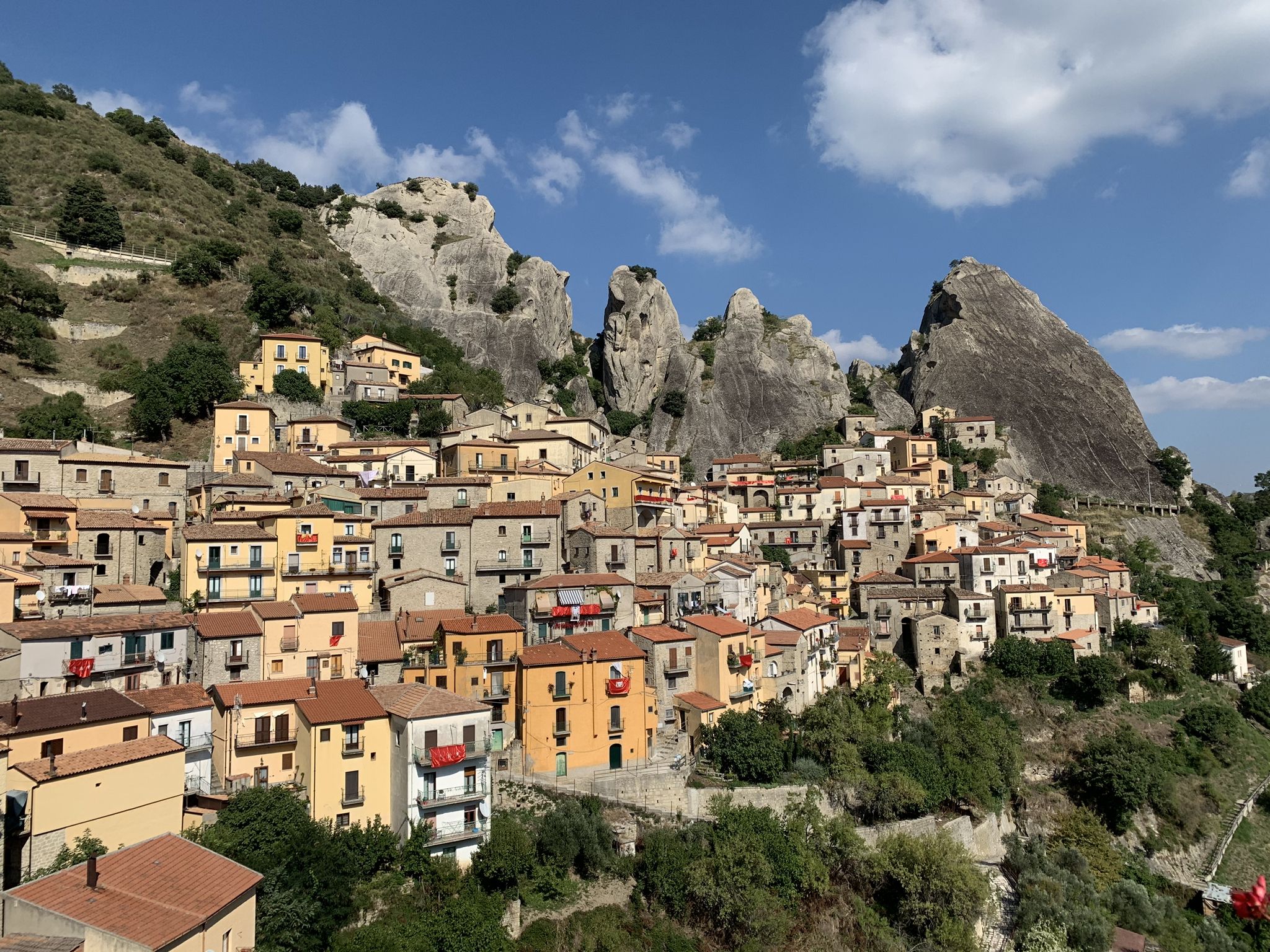
Embark on a difficult mountain biking adventure through the Parco Regionale Gallipoli Cognato Piccole Dolomiti Lucane, a challenging loop starting from Castelmezzano. This 22.5-mile (36.2 km) route winds through rugged rock formations, dense forests, and deep valleys, characteristic of the Piccole Dolomiti Lucane. You will encounter varied elevation changes, including a significant 3843 feet (1171 metres) of climbing, and panoramic viewpoints that showcase the majestic natural park. Expect a demanding ride that typically takes around 3 hours and 23 minutes to complete, with some sections featuring very high stone steps.
Planning your visit requires very good fitness, as this trail is considered difficult, especially the climbs towards both Pietrapertosa and Castelmezzano. The route is a loop, meaning you will return to your starting point in Castelmezzano. Given the strenuous nature and potential for high stone steps, it might be best to avoid this trail in very hot weather. Always ensure your mountain bike is in excellent condition for the varied terrain.
This trail is the most popular mountain bike route in the Castelmezzano area, offering extensive views within the regional park. It allows you to experience the unique geological features of the Piccole Dolomiti Lucane, which bear a striking visual resemblance to the more famous Dolomites in northern Italy. The route is part of a wider network of highly-rated mountain bike trails in the region, making it a standout choice for experienced riders seeking dramatic landscapes.
4.8
(5)
14
자전거 타는 사람
46.9km
04:12
1,390m
1,390m
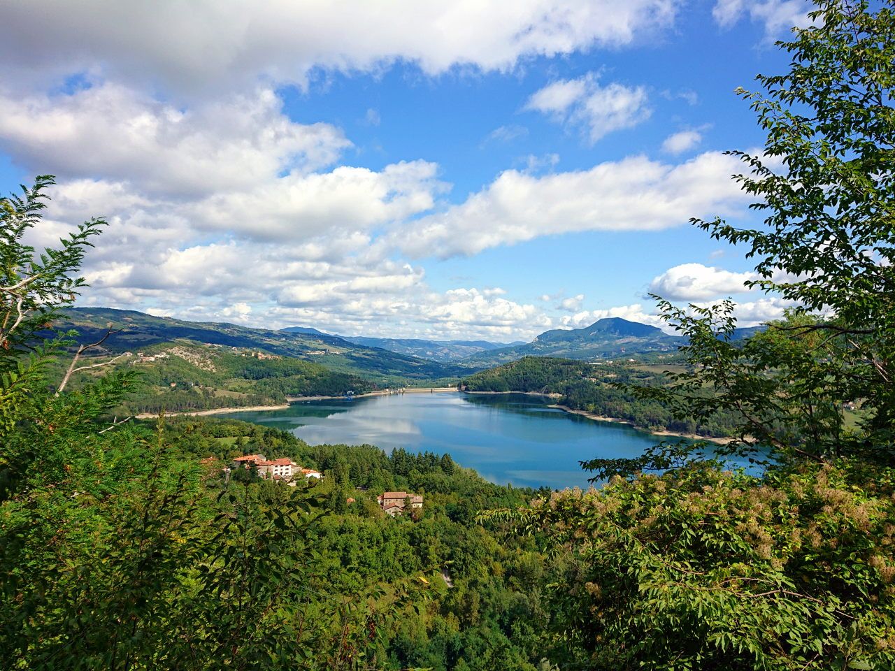
Embark on a difficult mountain biking journey around Lago Sirino and Lago Laudemio, a 29.2-mile (46.9 km) loop that demands excellent physical training and advanced skills. This challenging route climbs 4567 feet (1392 metres) and typically takes about 4 hours and 12 minutes to complete. You'll ride through the Parco Nazionale dell'Appennino Lucano-Val d'Agri-Lagonegrese, experiencing varied terrain from asphalt to technical singletrack descents. The trail offers stunning views of the mountainous Sirino Massif and leads you through serene beech forests, providing a true immersion in nature.
This loop is consistently rated as difficult, corresponding to a technical difficulty level of STS S3 - S6. Be prepared for sections where you might need to dismount and push your bike, especially on singletrack descents. The route features a mix of surfaces, including 25.4 kilometers of asphalt, 12.4 kilometers of unpaved roads, and 10.9 kilometers of trails, ensuring a dynamic and engaging experience for skilled mountain bikers.
The primary highlights of this route are the two beautiful lakes it encircles. You'll discover Lago Sirino, a natural lake nestled within a doline, and Lago Laudemio, also known as Lago Remmo, which is Italy's southernmost glacial lake at about 1500 meters altitude. This wonderful place is immersed in a fairytale setting, surrounded by tall forests and rich wild and lake fauna. The trail also incorporates unique features like an illuminated tunnel on a cycle-pedestrian path, blending natural beauty with interesting engineered elements.
4.0
(1)
19
자전거 타는 사람
Embark on a difficult mountain biking adventure through the Appennino Lucano-Val d'Agri-Lagonegrese National Park, covering 24.0 miles (38.6 km) with a substantial 4068 feet (1240 metres) of elevation gain. This challenging loop, which typically takes around 3 hours and 24 minutes to complete, offers varied terrain from asphalt and paved roads to dirt sections, winding through mountainous landscapes with rocky ridges, deep valleys, and lush beech and fir forests. You will encounter steep uphills and narrow paths, with expansive vistas of the Agri Valley and peaks like Monti Li Foj and Monte Sirino visible along the way.
This route demands excellent training and advanced riding skills, as you will face gradients up to 15%, and in some sections, you might even need to push your bike. Starting from the town of Viggiano, be prepared for diverse conditions; higher elevations can experience ice and snow during colder months, so plan your visit accordingly. Ensure your bike is in top condition and you carry all necessary supplies for a demanding ride in a remote natural setting.
Beyond the physical challenge, this trail is rich in cultural and historical significance. It follows a historic pilgrimage path to the Sanctuary of the Black Madonna of Viggiano, a revered Marian shrine at 1725 meters above sea level. A segment of the route even incorporates a portion of a Giro d'Italia stage, adding a layer of cycling heritage. Viggiano itself is known for its folk music and harp-making traditions, making this ride a unique blend of sport, spirituality, and local culture within a pristine national park environment.
5
자전거 타는 사람
50.7km
04:25
1,140m
1,150m
Tackle the San Giuliano Lake Loop, a difficult mountain biking route covering 31.5 miles (50.7 km) with a substantial 3749 feet (1143 metres) of elevation gain. This challenging journey typically takes around 4 hours and 24 minutes to complete. You will navigate diverse terrain, from winding forest paths to open meadows and technical rocky sections, all while enjoying expansive alpine views of the Brenta Dolomites and Adamello-Presanella glaciers. The route also guides you past the picturesque San Giuliano and Garzonè mountain lakes, where you can admire the emerald green waters of Lago di Vacarsa. Look for the small, characteristic chapel by Lake San Giuliano, a notable landmark along the way.
To make the most of your ride, plan your visit between June and September. During these months, the trails are generally clear of snow, and weather conditions are most favorable for mountain biking. Be prepared for some sections that are quite challenging; you might need to dismount and push your bike at times. This loop demands very good fitness and advanced riding skills, so assess your capabilities before heading out.
This demanding loop is situated within the Riserva regionale San Giuliano in Basilicata, Italy, offering a rich biodiversity to observe as you ride. The trail's varied landscape and stunning natural features make it a standout experience in the region. You will find yourself immersed in an environment that combines rugged mountain beauty with serene lake views. The combination of challenging terrain and rewarding scenery sets this route apart for experienced mountain bikers.
Embark on a diverse mountain biking adventure through the stunning landscapes of Basilicata, Italy, on this 16.3-mile (26.2 km) loop. This moderate route, which takes about 2 hours and 21 minutes to complete, offers varied terrain, from paved sections to unpaved roads and natural paths. You will navigate cycling paths, singletracks, and even some hiking trails, with an elevation gain of 2477 feet (755 metres). Enjoy picturesque views of Lake Sirino, nestled at the base of Mount Sirino, and ride through lush forested areas and tranquil river valleys. Be prepared for some steep and rocky sections, especially on the ascent from Rivello.
While rated moderate for mountain biking, this trail demands a good level of physical training and advanced riding skills. You should be prepared for sections where you might need to dismount and push your bike, particularly on the initial climb from Rivello towards Lago Sirino. The route connects the charming medieval village of Lagonegro and the town of Rivello, offering a chance to explore these historic locations.
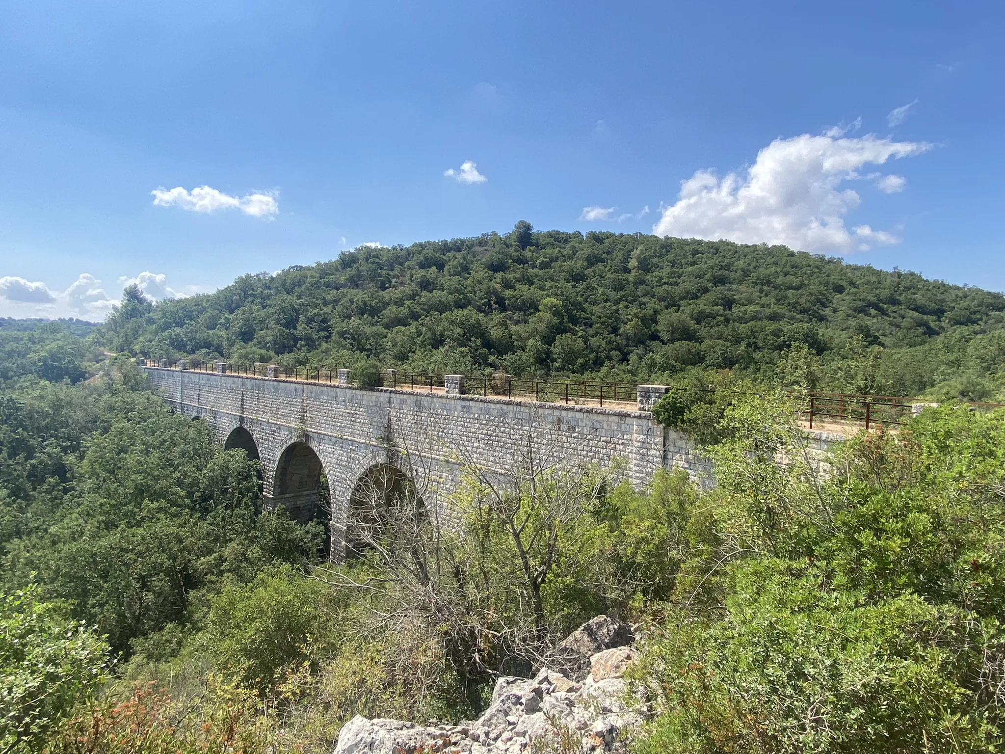
A standout feature of this route is the scenic cycling path created from the old Calabro-Lucana railway line. This unique section includes tunnels, such as an impressive 360-degree helical tunnel, and bridges, providing a memorable ride through dense forest vegetation. The region's low population density and extensive network of provincial roads make it ideal for exploring by bike. You can also access cultural landmarks like the sanctuary of the Madonna del Sirino on Mount Sirino.
4.0
(3)
5
자전거 타는 사람
20.6km
01:49
660m
650m
Embark on the Pietrapertosa e il Parco delle Piccole Dolomiti Lucane – giro ad anello, a moderate mountain biking route that takes you through the dramatic Lucanian Dolomites. This trail spans 12.8 miles (20.6 km) and features an elevation gain of 2162 feet (659 metres), offering expansive views of unique rock formations and wild nature. You'll navigate rocky walls, canyons, and forests, with ascents and descents characteristic of a mountainous region, typically completing the loop in about 1 hour and 49 minutes.
This mountain bike trail requires good fitness due to its challenging elements, but it is generally considered suitable for riders with some experience. The route connects two picturesque villages, Pietrapertosa and Castelmezzano, which are among Italy's most beautiful. While the research doesn't specify trailhead access or parking, you can expect to find facilities in or near these charming towns, making them good starting points for your adventure.
The trail is located within the Parco Regionale Gallipoli Cognato Piccole Dolomiti Lucane, an area rich in natural and historical significance. As you ride, you'll be close to the famous Volo dell'Angelo, a zip-line connecting Pietrapertosa and Castelmezzano, which highlights the impressive heights of the region. You can also explore the Percorso delle 7 Pietre, a hiking trail between the villages featuring artistic installations that tell local legends, adding a cultural layer to the stunning natural beauty.
5.0
(1)
1
자전거 타는 사람
Embark on the La Foresta di Gallipoli Cognato mountain bike loop, a moderate ride spanning 14.0 miles (22.5 km) with 1930 feet (588 metres) of elevation gain, typically completed in about 2 hours and 1 minute. The trail offers diverse terrain, including paved, unpaved, and secondary roads, along with distinct paths. You will encounter clay soil sections, which can be challenging if wet, and a very steep climbing section where you might need to push your bike. Throughout the ride, enjoy stunning panoramic views of the Piccole Dolomiti Lucane, with key viewpoints like "Il Balcone delle Dolomiti Lucane" and vistas overlooking Pietrapertosa.
This trail demands excellent training due to its challenging segments, so come prepared for a good workout. The varied terrain and the possibility of needing to dismount and push your bike on steep climbs mean you should assess your fitness level before setting out. The route is designed for mountain biking, offering a rewarding experience for those ready for its physical demands.
This loop trail is set within the Parco Regionale Piccole Dolomiti Lucane, a significant protected natural area in the heart of Basilicata. It allows you to immerse yourself in the park's rich flora and fauna, experiencing the striking contrast of sandstone peaks and dense forests. The combination of varied terrain, spectacular views, and the opportunity to explore the natural beauty of the Lucanian Dolomites makes this a notable mountain biking destination.
14.8km
01:41
570m
570m
Embark on the Monte Vulture and Monticchio Lakes Loop, a difficult mountain biking adventure that takes you through the unique volcanic landscape of Monte Vulture. This demanding 9.2-mile (14.8 km) route challenges you with a significant 1887 feet (575 metres) of elevation gain, winding through lush forests of beech, chestnut, and fir. You will ride past the two Monticchio Lakes, often called the “eyes of the dormant volcano,” offering spectacular views from above. The varied terrain and constant climbing make this a truly immersive experience, typically completed in about 1 hour and 40 minutes.
This route is best suited for experienced mountain bikers who possess good fitness and advanced riding skills. The trail features a mix of asphalt, unpaved roads, and singletrack, so be prepared for varied surfaces. Some segments are particularly challenging and may require you to push your bike, adding to the physically demanding nature of the ride. Always check local conditions before you go, especially regarding weather, as the volcanic terrain can be unforgiving.
Beyond the physical challenge, this loop offers a glimpse into the region's natural and historical heritage. You will encounter fascinating lava roads and sections linked to the ancient 'Sentiero dei Briganti,' providing a unique cultural context to your ride. The trail's path through the Parco Naturale Regionale del Vulture highlights the area's distinct ecosystem, shaped by its volcanic past. This makes the Monte Vulture and Monticchio Lakes Loop more than just a ride; it is a journey through nature and history.
더 다양한 경로와 다른 탐험가들의 추천을 살펴보세요.
이미 komoot 계정이 있나요?
투어 추천은 다른 사람들이 komoot에서 완료한 수천 개의 활동을 바탕으로 구성되어 있습니다.
오늘 무료 계정으로 시작하세요
다음 모험이 기다리고 있어요.
바실리카타 주변 인기 장소

포텐자 MTB 트레일

마테라 MTB 트레일
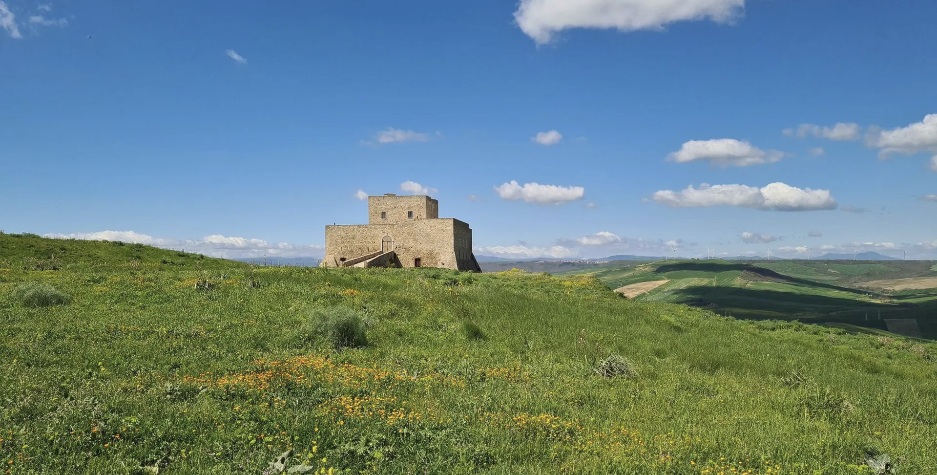
Basilicata by bike – discover itineraries in this unique land
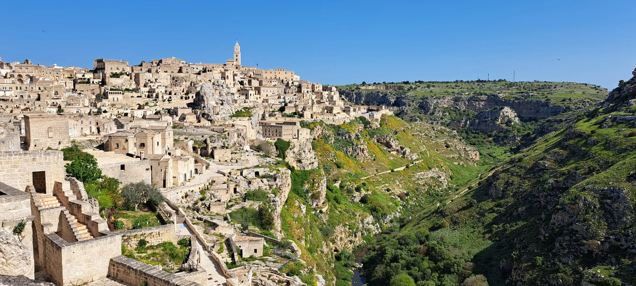
올리브 나무와 흰 돌 사이-비아 푸세타
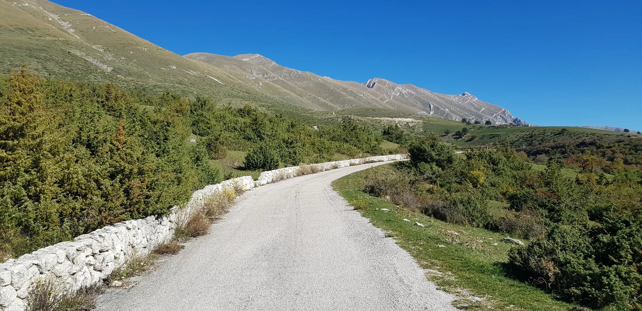
아페니느 자전거로(파트 2) - 우мб리아에서 칼라브리아까지
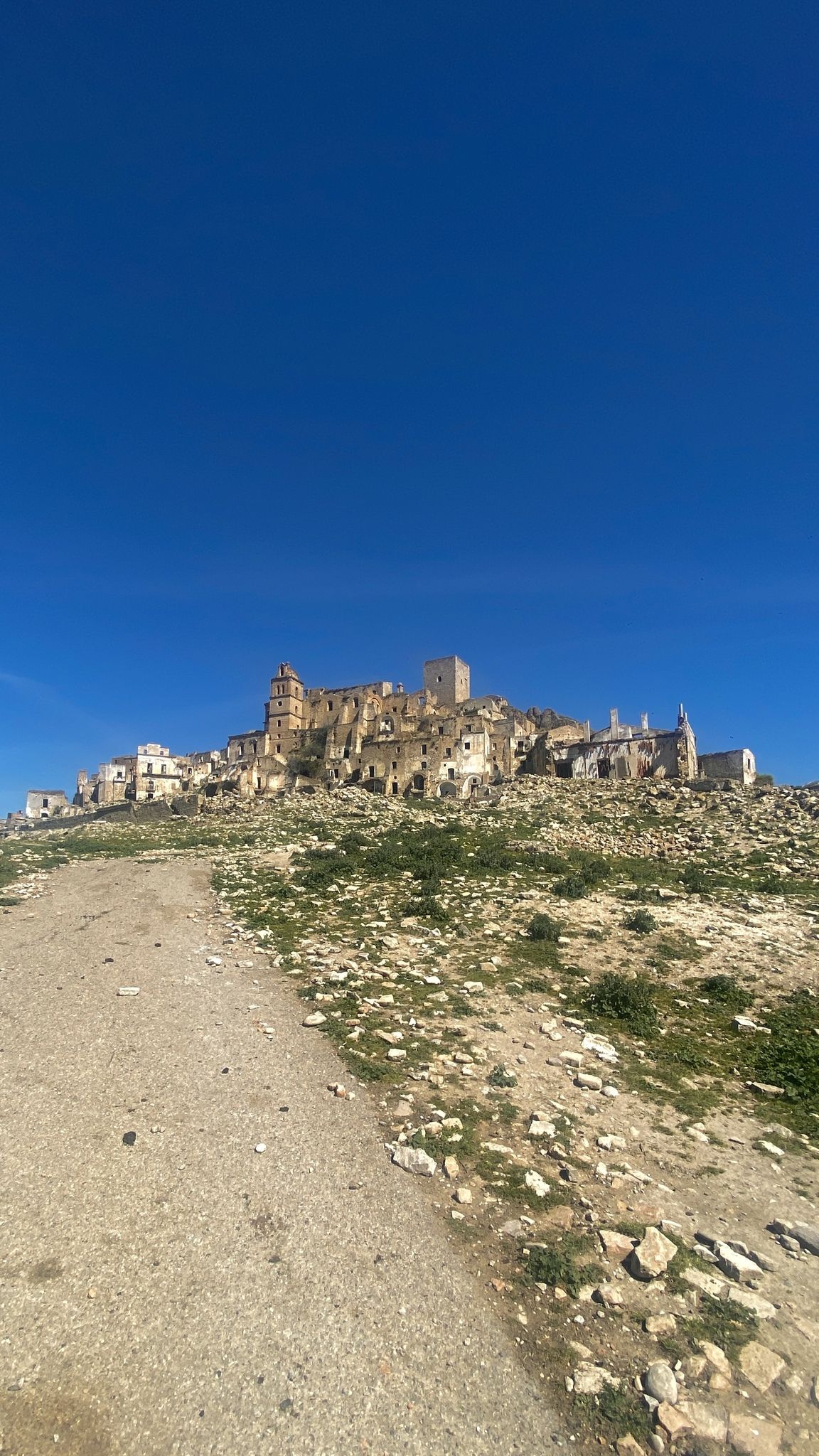
자연, 역사와 바다 사이에서 - 바질리카타를 돌는 그래벌 라운드
이탈리아 돌로미티 루카네 산맥을 거쳐가는 자전거 투어
카포세레에서 산타 마리아 디 레우카까지 - 아퓨리아 수도 자전거 루트
인테리오라 - 이탈리아의 떨어진 지역을 여행하다
이탈리아 맨 남쪽에서 페달링 - Ciclovia dei Borbone
바실리카타의 다른 모험


커뮤니티 팁

트렌티노에 있는 것 같지만 바실리카타입니다. 옛 철도 노선을 따라 바로 위로 지나가는 자전거 도로는 아름답습니다.
0
0


the hike is marked but not enough, but let's say it's very easy to orient yourself just go straight. it's a fairly open path, only a small stretch covered by trees, so when it's hot it's better to bring a hat. bring something to eat because I don't think there were any refreshment points. fantastic place with a peaceful atmosphere. the day I went, which was June, there were a few insects, but they were harmless.
0
0


The views from Matera from the Sassi are very suggestive
0
0

Matera is one of the oldest cities in the world because of its karst caves.
0
0


더 살펴보기
다른 지역의 최고의 MTB 트레일를 살펴보세요.
