코부르크 최고의 라이딩 경로
4.6
(661)
8,099
자전거 타는 사람
681
라이딩
코부르크에서 하이킹하며 어퍼 프랑코니아 구석 부분까지 살펴볼까요? 코부르크에 있는 모든 하이킹 및 워킹 경로 컬렉션 중 가장 멋진 하이킹 경로를 엄선하여 소개해드릴게요. 다른 하이커가 공유한 실제 팁과 사진을 살펴보고 후기를 읽으며 마음에 드는 코부르크 워킹 경로를 찾아보세요.
마지막 업데이트: 9월 30, 2026
4.7
(25)
274
자전거 타는 사람
40.2km
01:40
150m
150m
보통 도로 자전거 타기. 모든 체력 수준에 적합. 투어 중 라이딩하기 어려운 비포장 구간이 있을 수 있음.
4.4
(10)
188
자전거 타는 사람
56.4km
02:23
280m
280m
보통 도로 자전거 타기. 좋은 체력 필요. 투어 중 라이딩하기 어려운 비포장 구간이 있을 수 있음.

4.6
(7)
120
자전거 타는 사람
68.3km
03:23
720m
720m
보통 도로 자전거 타기. 좋은 체력 필요. 지면 대부분이 잘 포장되어 있고 라이딩하기 쉬움.
3.6
(5)
96
자전거 타는 사람
54.4km
02:25
350m
350m
보통 도로 자전거 타기. 좋은 체력 필요. 투어 중 라이딩하기 어려운 비포장 구간이 있을 수 있음.
4.3
(10)
96
자전거 타는 사람
51.4km
02:16
330m
330m
보통 도로 자전거 타기. 좋은 체력 필요. 투어 중 라이딩하기 어려운 비포장 구간이 있을 수 있음.
4.6
(5)
79
자전거 타는 사람
40.9km
01:49
350m
350m
보통 도로 자전거 타기. 좋은 체력 필요. 투어 중 라이딩하기 어려운 비포장 구간이 있을 수 있음.
3.8
(6)
80
자전거 타는 사람
70.2km
02:56
390m
390m
보통 도로 자전거 타기. 좋은 체력 필요. 지면 대부분이 잘 포장되어 있고 라이딩하기 쉬움.
3.9
(7)
85
자전거 타는 사람
75.0km
03:07
390m
390m
보통 도로 자전거 타기. 좋은 체력 필요. 지면 대부분이 잘 포장되어 있고 라이딩하기 쉬움.
4.7
(6)
76
자전거 타는 사람
44.1km
01:53
280m
280m
초급용 로드 라이딩. 모든 체력 수준에 적합. 지면 대부분이 잘 포장되어 있고 라이딩하기 쉬움.
4.9
(24)
91
자전거 타는 사람
24.6km
01:13
100m
100m
보통 도로 자전거 타기. 모든 체력 수준에 적합. 투어 중 라이딩하기 어려운 비포장 구간이 있을 수 있음.
더 다양한 경로와 다른 탐험가들의 추천을 살펴보세요.
이미 komoot 계정이 있나요?
투어 추천은 다른 사람들이 komoot에서 완료한 수천 개의 활동을 바탕으로 구성되어 있습니다.
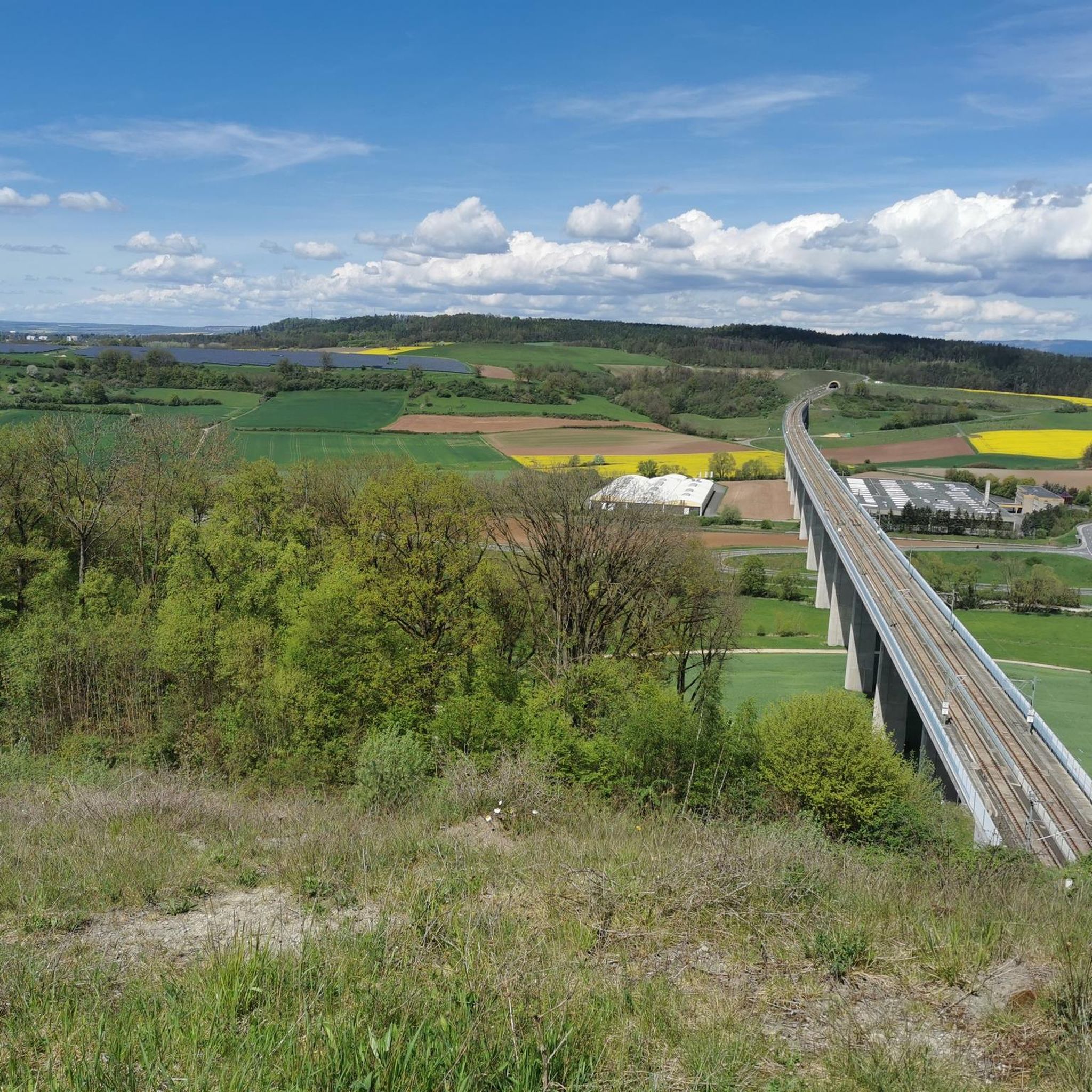
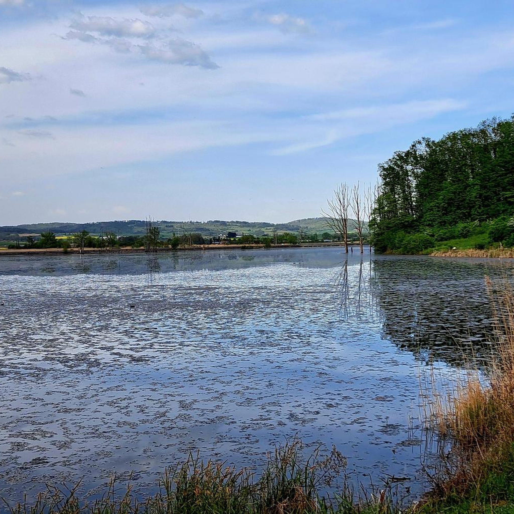
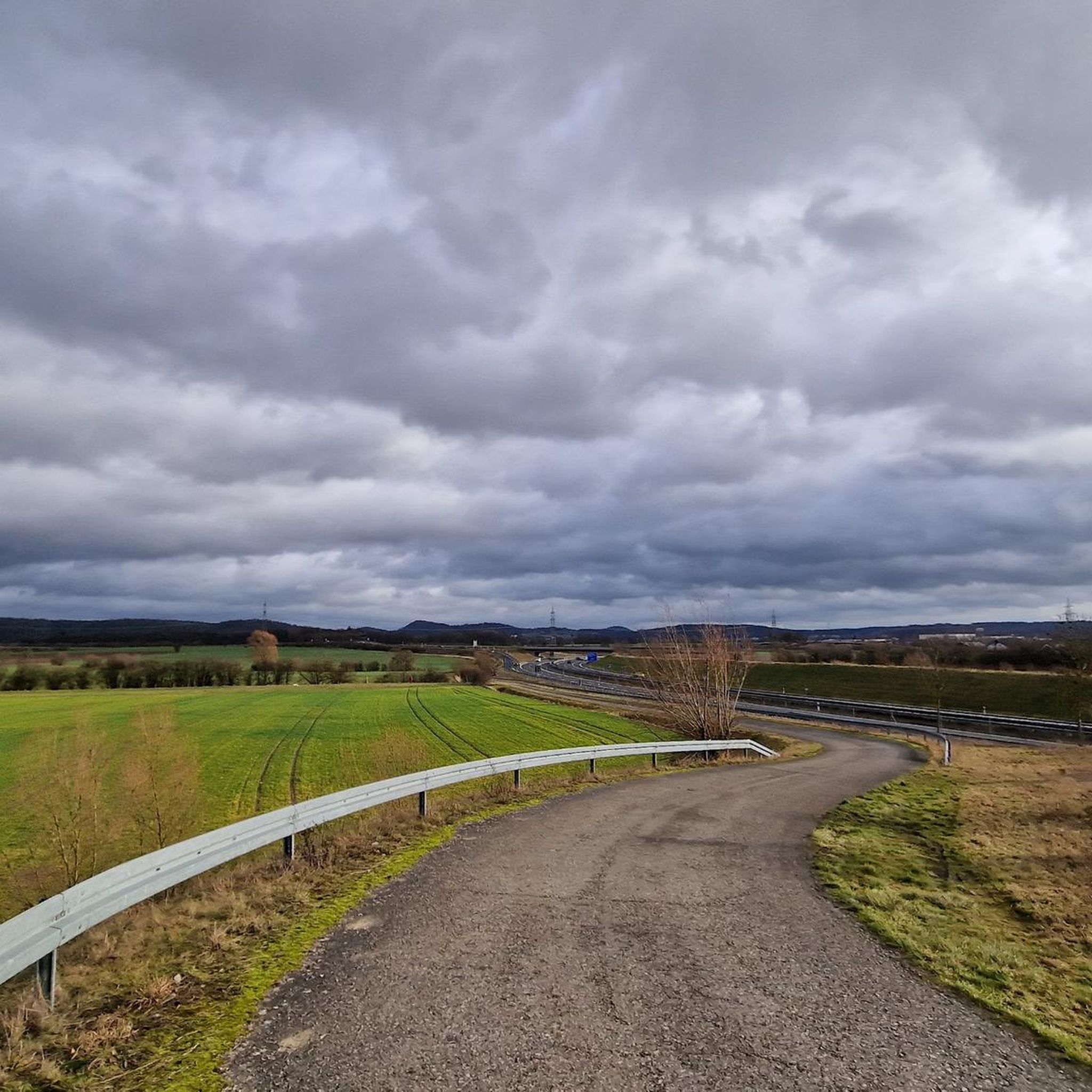
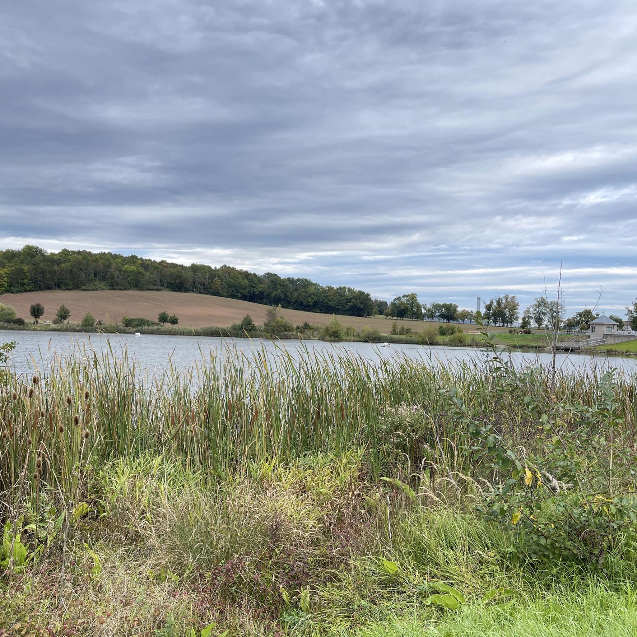
코부르크의 다른 모험


커뮤니티 팁

코부르크 광장에 있는 프린스 알베르트 기념비는 작센코부르크고타의 알베르트 왕자(1819–1861)를 기념합니다. 이 기념비는 1865년 빅토리아 영국 및 아일랜드 여왕의 의뢰로 조각가 윌리엄 티드 주니어의 디자인에 따라 고전주의 양식으로 세워졌습니다. 1865년 8월 26일, 여왕은 자녀들과 함께 코부르크를 다섯 번째 방문하는 동안 기념비의 공식적인 제막식에 참석했습니다.
4
0


Theuern 방향으로 내리막길은 거의 페달링이나 브레이크 없이 굴러갑니다. Limbach 방향으로 오르막길은 변화하는 경사율 때문에 아마도 약간 고르지 못한 페달링이 될 것입니다. 아스팔트는 대체로 괜찮지만, 겨울철에는 때때로 몇 개의 포트홀이 있습니다.
0
0

이 이미지는 지역 시장을 위한 환상적인 배경을 제공합니다.
0
0

The Judentor (Jew's Gate) is one of three surviving city gates in Coburg. The gate tower marked the western boundary of the city center and was part of the inner city wall. The city gate, probably built in the early 13th century, was first documented in 1321 as the Judentor (Jew's Gate). The gate tower was built on the floodplain of the Itz River. The name Judentor (Jew's Gate) refers to the Jewish community of Coburg, which was located west of the Judentor in the 14th and 15th centuries.
12
0


찾고 계신 것을 찾지 못하셨나요?
코부르크에서 더 많은 로드 사이클링 경로를 확인하고 목적지에서 완벽한 경로를 찾아보세요.
더 살펴보기
다른 지역의 최고의 로드 사이클링 경로를 살펴보세요.
