브라이텐브룬/에르츠게비르게 최고의 MTB 라이딩 경로
4.7
(1272)
8,119
자전거 타는 사람
84
라이딩
브라이텐브룬/에르츠게비르게에서 산악자전거 라이딩을 하면 다양한 경치를 감상할 수 있어요. 어디서 출발해야 할지 모르겠다고요? 지금부터 브라이텐브룬/에르츠게비르게 최고의 MTB 경로를 찾을 수 있도록 가장 멋진 라이딩 장소를 소개해드릴게요!
마지막 업데이트: 11월 7, 2026
4.7
(200)
1,252
자전거 타는 사람
25.6km
02:41
740m
740m
보통 산악 자전거 타기. 좋은 체력 필요.
4.8
(103)
738
자전거 타는 사람
18.9km
01:59
520m
520m

4.8
(175)
1,095
자전거 타는 사람
25.0km
02:29
760m
760m
보통 산악 자전거 타기. 좋은 체력 필요. 뛰어난 라이딩 실력이 필요함.
4.8
(410)
2,564
자전거 타는 사람
80.0km
07:06
1,980m
1,980m
어려운 산악 자전거 타기. 우수한 체력 필요. 뛰어난 라이딩 실력이 필요함.
4.8
(71)
437
자전거 타는 사람
55.4km
04:56
1,340m
1,340m
어려운 산악 자전거 타기. 우수한 체력 필요.
더 다양한 경로와 다른 탐험가들의 추천을 살펴보세요.
이미 komoot 계정이 있나요?
투어 추천은 다른 사람들이 komoot에서 완료한 수천 개의 활동을 바탕으로 구성되어 있습니다.
오늘 무료 계정으로 시작하세요
다음 모험이 기다리고 있어요.
브라이텐브룬/에르츠게비르게 주변 인기 장소
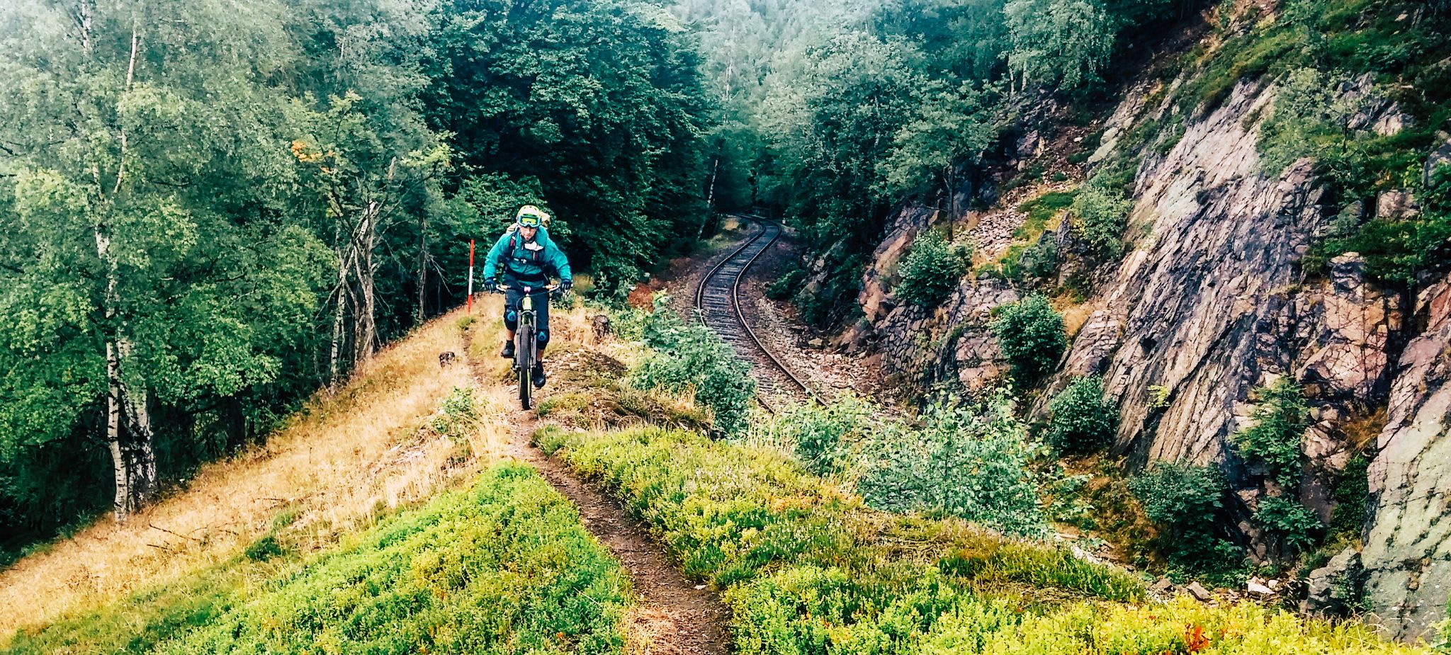
경계 모험 곧 리지웨이 - 카밍웨그 에르츠게비르게
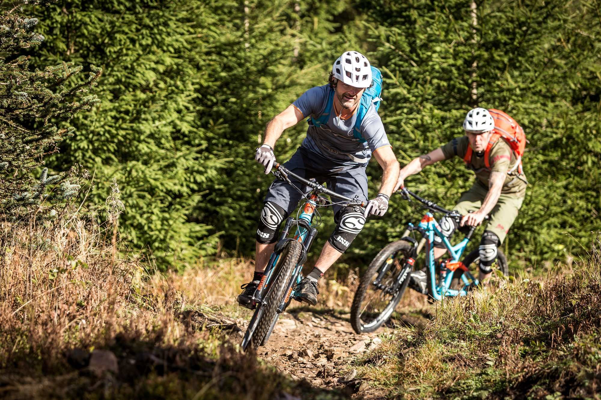
Stoneman Trail in the Ore Mountains
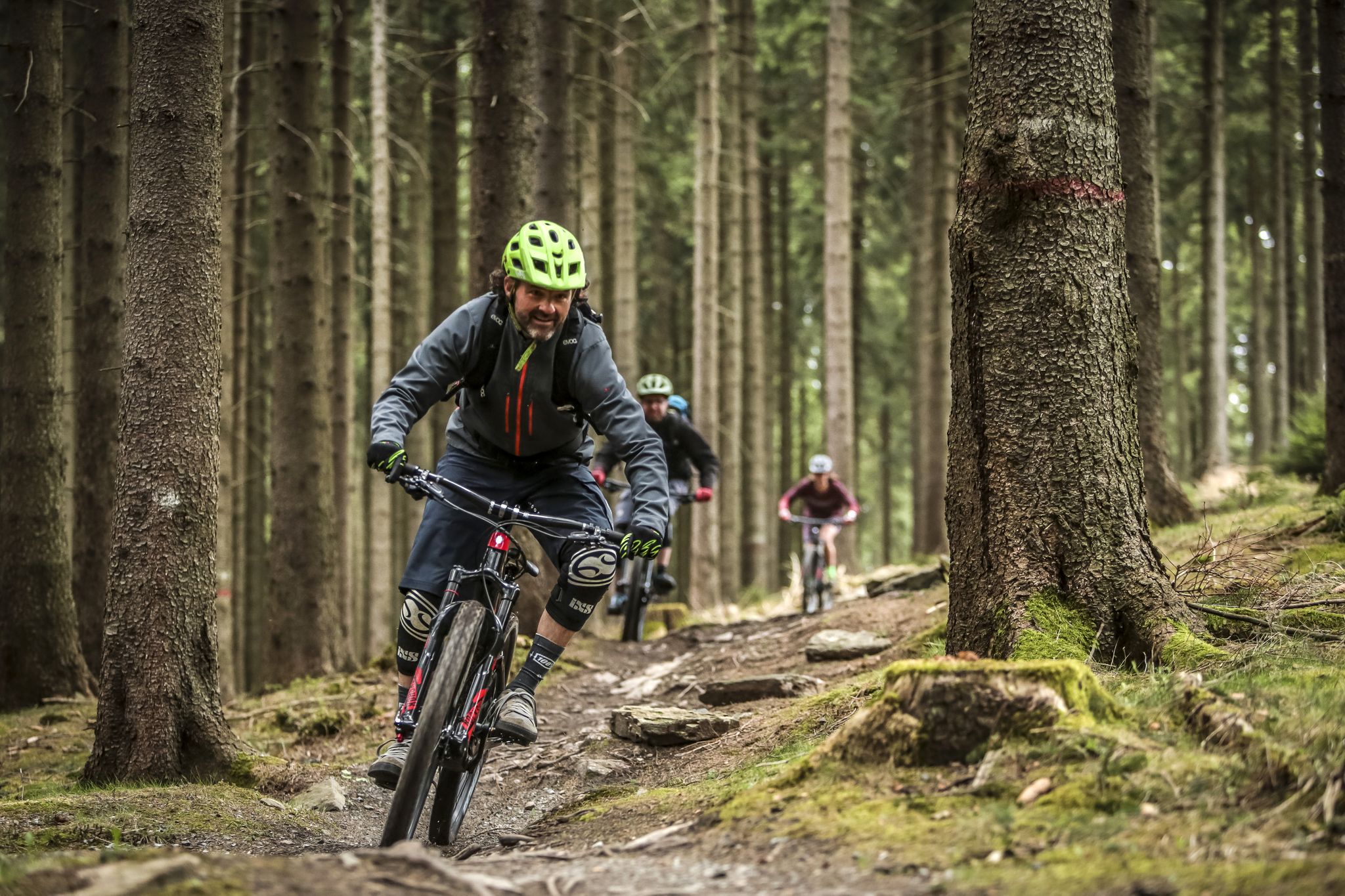
MTB adventures in Saxony

Stoneman Miriquidi MTB 전체 코스 (2일 - 실버)
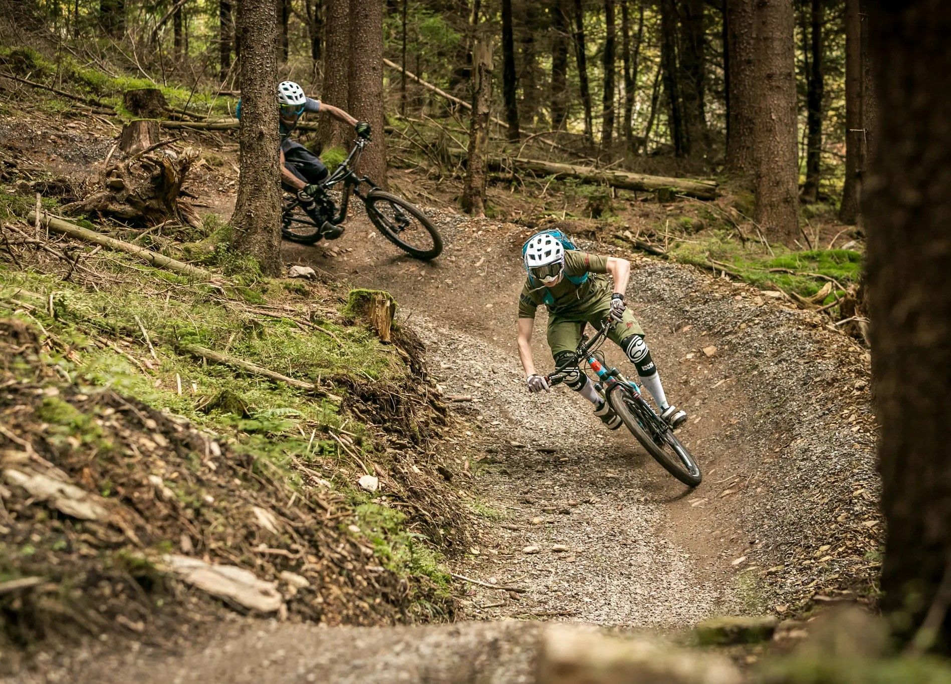
Bike parks in the heart of Germany
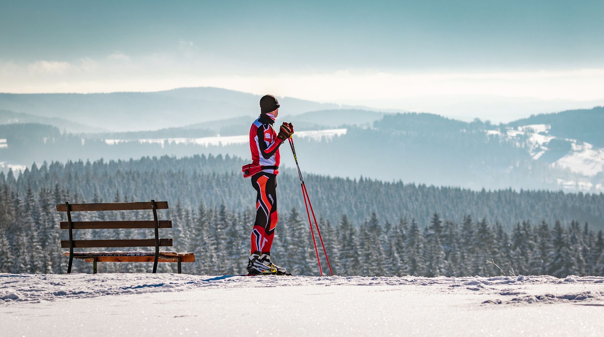
Let it flow! Cross-country skiing in the Ore Mountains
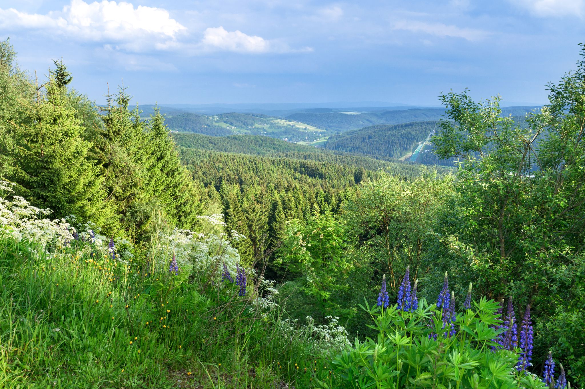
역사가 자연을 만나다 – 에르츠게비르게-포그틀란트 산악 등산로
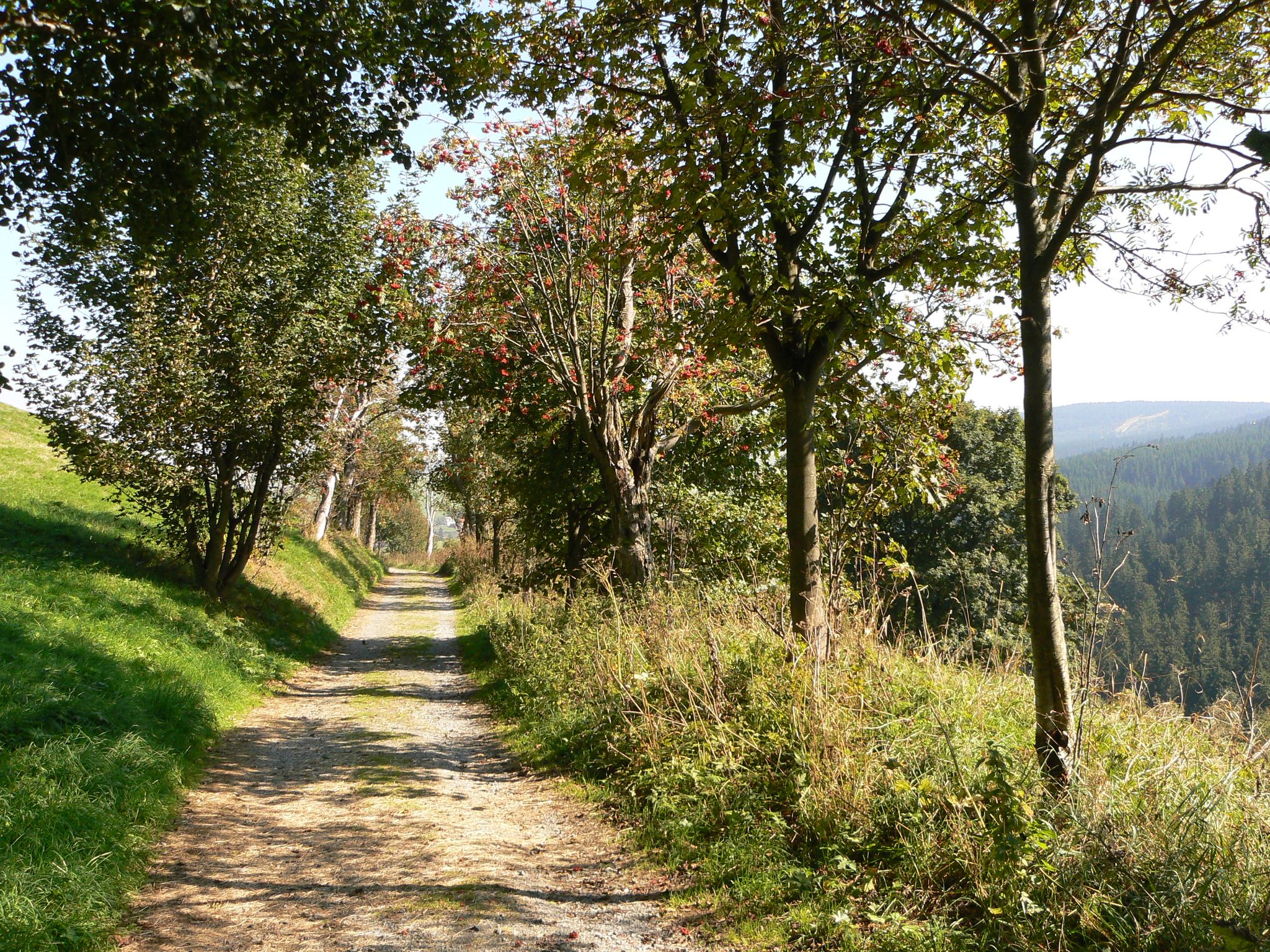
Anton-Günther-Trail — 오레 산맥에서의 긴 주말
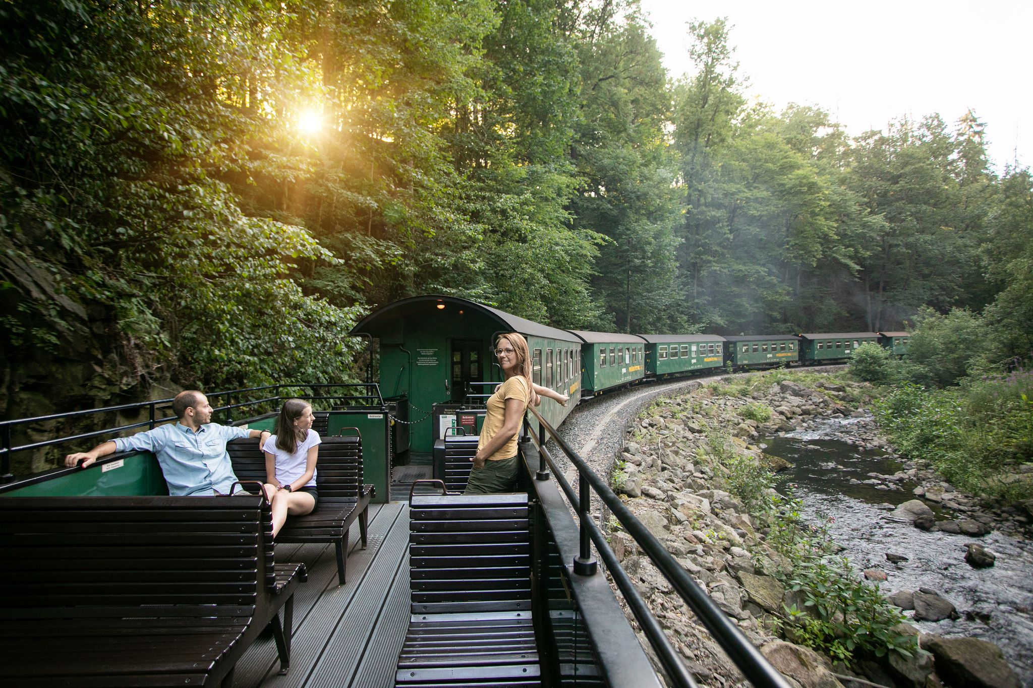
Wandertouren - Eisenbahn & Wanderstock
Wandertouren - Gipfelglück
브라이텐브룬/에르츠게비르게 주변의 다른 모험


커뮤니티 팁


멋진 이름만으로도 매직 무브에 빠져들게 합니다. 🤩🤘🏻🚴🏻
0
1

The SREM (Secundary Radar Equipment) system on the 1018m high Auersberg mountain in the Ore Mountains is one of six such systems in Germany operated by the German Air Navigation Services (DFS). It detects aircraft within a radius of approximately 270 kilometers. Wikipedia
1
0

This is a radar system operated by the German Air Traffic Control (DFS) for en-route air traffic control. The conspicuous large antenna is the primary radar. It emits radio waves that are (passively) reflected by the aircraft and received again by the antenna. The distance to the aircraft is determined from the signal's travel time. The direction of the antenna when receiving the signal indicates the angle relative to north (azimuth). This allows the position of an aircraft to be displayed as a point on the radar screen using polar coordinates (direction and distance). Above the large antenna, another antenna in the shape of a horizontal bar can be seen. This is the antenna of the secondary radar. This transmits a query to the aircraft, which is actively answered by its transponder. The identification code and barometric altitude are transmitted in response. This allows the aircraft to be identified on the radar screen and their altitude to be displayed. In combination with the aircraft's flight plan, this data is used to control air traffic. While the aircraft crew is responsible for navigation and obstacle clearance, air traffic control is responsible for maintaining the distance between aircraft and thus preventing collisions.
4
0

A truly amazing highlight. A quick photo stop is worth it.
0
0


Watch out for the barrier! Its exterior blends in so well with its surroundings that if you're inattentive for even a moment, it quickly becomes a "flying trap"... 🙄🙈
0
1
브라이텐브룬/에르츠게비르게 주변에서 가장 인기 있는 명소


더 살펴보기
다른 지역의 최고의 MTB 트레일를 살펴보세요.
