20의 게벤하임가지 명소 & 주요 장소
게벤하임에는 둘러볼 만한 장소가 많답니다. 하이킹 또는 사이클링을 좋아한다면 게벤하임에 숨겨진 20
가지 보석을 만날 수 있을 거예요. 이 지역의 주요 명소를 살펴보면서 다음 모험을 계획해보세요.
마지막 업데이트: 9월 12, 2026
투르강을 따라 펼쳐진 포도밭에서
하이라이트 (구간) • 자전거 도로
It is the southernmost wine region in Alsace.
More information: de.wikipedia.org/wiki/Rangen_(Weinlage)
번역자 Google •
팁에 의해

라 소르시에르의 눈 (앙겔부르크 성)
하이라이트 • 성
번역자 Google •
팁에 의해

이런 장소를 발견하려면 지금 가입하세요
최고의 싱글 트랙, 봉우리 및 다양한 흥미로운 야외 장소에 대한 추천을 받아보세요.

HC - 우프홀츠 - 그랑 발롱
하이라이트 (구간) • 기타
Anyone who lingers here for a moment and takes …
번역자 Google •
팁에 의해

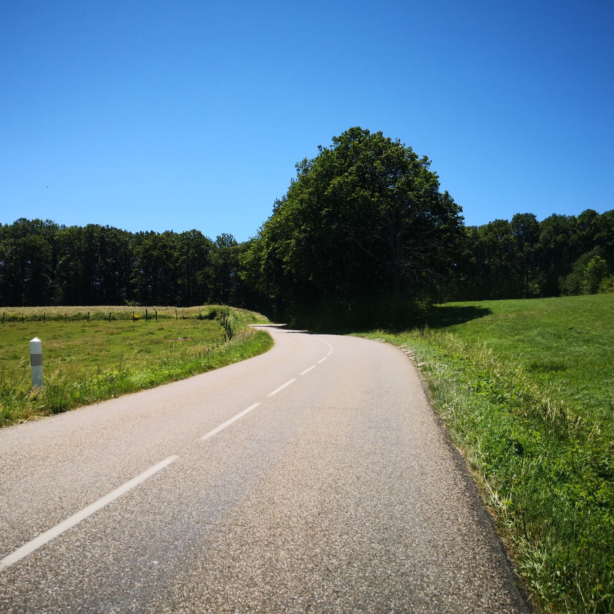
투르 강변 자전거길
하이라이트 (구간) • 자전거 도로
번역자 Google •
팁에 의해

무료로 가입하여 게벤하임 주변의 더 많은 명소를 발견하세요.
이미 komoot 계정이 있나요?
오늘 무료 계정으로 시작하세요
다음 모험이 기다리고 있어요.

커뮤니티 팁

The VV221 cycle route is part of the EuroVélo 5 network and begins in Ensisheim at the Thur bridge and ends in Cernay after about 17 km. The route initially runs alongside the road, then past ponds and finally through a wooded area. It runs alongside the Thur and passes the Alsatian Ecomuseum (another route leads to Ungersheim via the Petit Prince Park). The Green Route then winds along the Thur, passing Pulversheim, Staffelfelden, and Wittelsheim, and finally reaches Cernay, still along the Thur.
0
0

April '25, now in poor condition, holes, potholes and many tree roots, unsafe.
0
0

Very nice passage along the Thur river. Hilly route towards Lake Wildenstein-Kruht A tarmac road for all audiences I recommend the lunch break at the Kruht Lake Inn.
0
0

The Thur on your left, the vineyard on your right. Magnificent (golden) colours of the vineyard from the end of September.
1
0

Wonderful cycle path along the steep vineyards. A pleasure cycle path...
2
0

The castle was built from 1224, with various extensions until the 16th century. Its initial purpose, in addition to being the residence of the Count of Ferrette, was to monitor the toll which regulated passage into the Thur valley. Its name means the “town of the angel” in homage to Saint Michael, chief of the angels and champion of Good, and it stands at the top of the Schlossberg, the “castle mount. » In 1673, Louis The king called on miners from Giromagny to demolish the castle with explosives. When the dungeon collapses, part of it remains stuck on the side, giving the ruins their current shape. The locals nickname the remains of the castle “The Witch’s Eye” because this dungeon evokes an eye watching over the city, but also in connection with the tumultuous past involving the city in witch hunting. Family walk through the old town offering upon arrival a beautiful view of the town and the surrounding hills.
1
0

A worthwhile destination, good view of the city
0
1
The preservation over the many years is unique
1
1
게벤하임 주변에서 가장 인기 있는 명소


더 살펴보기
찾고 있는 하이라이트를 아직 못 찾으셨나요? 다른 지역의 주요 명소 가이드를 확인해보세요:
