20의 래더스하임가지 명소 & 주요 장소
래더스하임에는 둘러볼 만한 장소가 많답니다. 하이킹 또는 사이클링을 좋아한다면 래더스하임에 숨겨진 20
가지 보석을 만날 수 있을 거예요. 이 지역의 주요 명소를 살펴보면서 다음 모험을 계획해보세요.
마지막 업데이트: 11월 5, 2026
비에이 아르망 정상 전망대
하이라이트 • 전망대
It is of the "Molehill" type, model OD 92-95
in the shape …
번역자 Google •
팁에 의해

하트만스빌러코프 국립 기념비
하이라이트 • 기념물
번역자 Google •
팁에 의해

이런 장소를 발견하려면 지금 가입하세요
최고의 싱글 트랙, 봉우리 및 다양한 흥미로운 야외 장소에 대한 추천을 받아보세요.
소울츠에서 콜 뒤 그랑발롱으로 오르기
하이라이트 (구간) • 등반
번역자 Google •
팁에 의해


오늘 무료 계정으로 시작하세요
다음 모험이 기다리고 있어요.
커뮤니티 팁

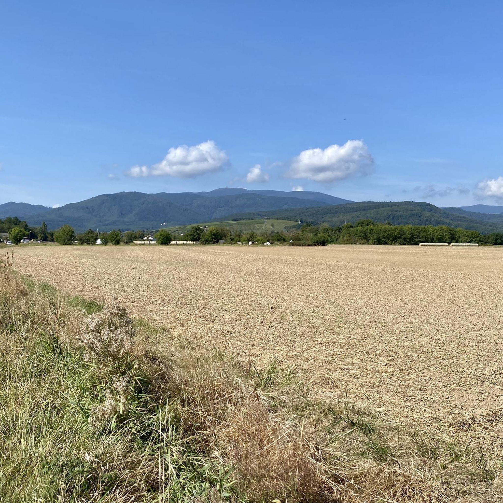
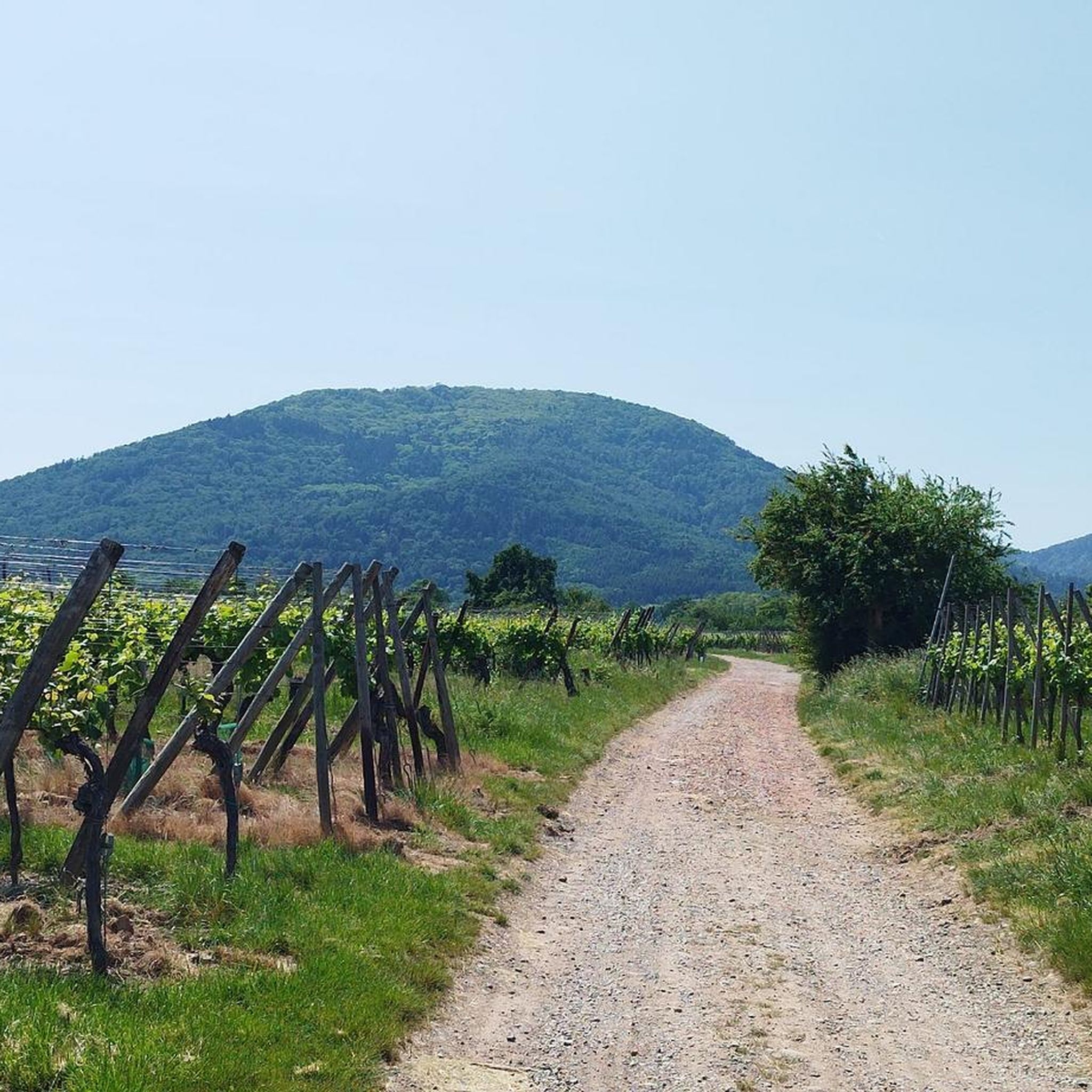
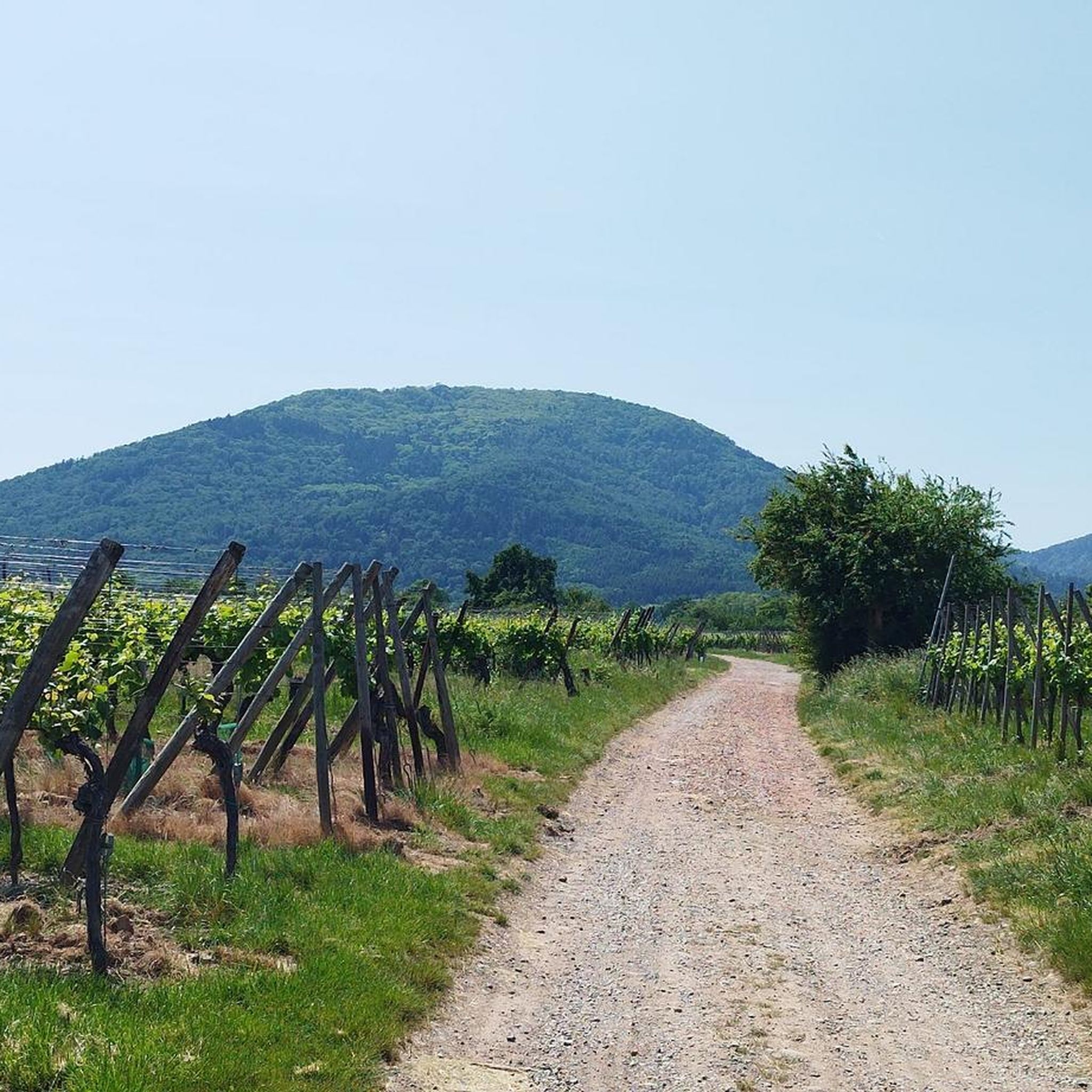
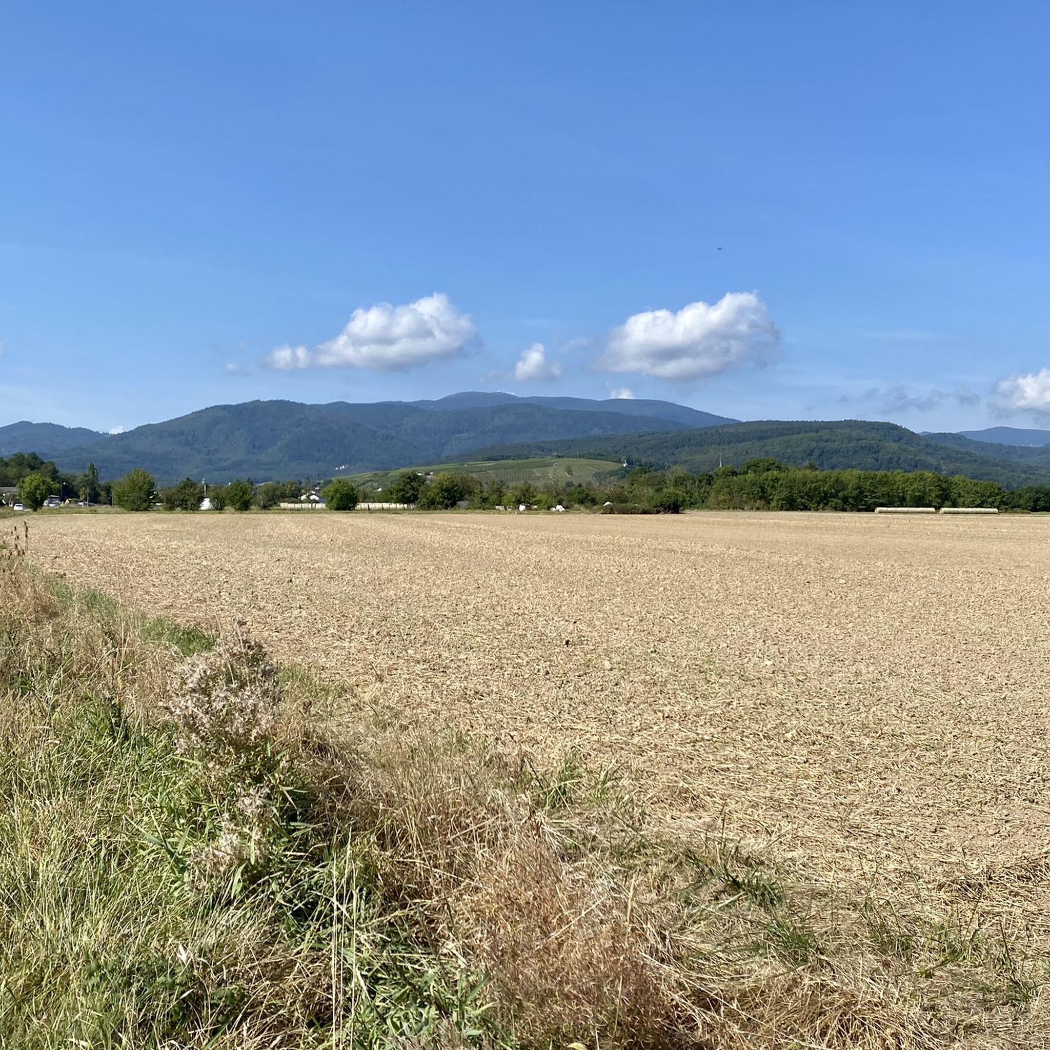
Vieil Armand, also known as Hartmannswillerkopf, is a striking mountain peak in the southern Vosges, near the Col Amic. This place is not only popular with cyclists because of the challenging climb and the panoramic view of the Rhine plain, but also an important historical monument. During the First World War, fierce fighting took place here between French and German troops, resulting in a static trench warfare. Today, the area is a national memorial with a crypt, military cemetery and well-preserved trenches. The climb to Vieil Armand via the Col Amic is not only sportingly rewarding, but also impressive because of the historical significance of the landscape.
6
0

From Soultz: Very nice climb. The road surface is great, runs smoothly and you mainly drive through a shady forest with the occasional glimpse through the trees. Few cars encountered, at the end a beautiful meadow and then at the top you can continue to the Grand Ballon.
1
0


The “Roche Sermet” is a rock formation located on the Hartmannswillerkopf¹ battlefield. It is located at an altitude of approximately **910 meters**². Hartmannswillerkopf, also known as Vieil Armand, is a pyramidal rocky spur in the Vosges massif, overlooking the Alsace plain from its 957 meters¹. During the First World War, it was a strategic summit hotly contested by the French and German armies¹. Today, the Hartmannswillerkopf is a place of memory, bearing witness to the suffering of the soldiers who fought in the name of their country¹. The German remains encountered on the ground, sometimes quite spaced apart from each other, are witnesses to this historical period¹. Source: conversation with Bing, 05/07/2024 (1) HWK: Vestiges of the Past - e-monsite. https://hartmannswillerkopf.e-monsite.com/pages/hwk-vestiges-du-passe.html. (2) Presentation. https://hartmannswillerkopf.e-monsite.com/pages/presentation.html. (3) The Hartmannswillerkopf | Paths of memory. https://www.cheminsdememoire.gouv.fr/en/hartmannswillerkopf. (4) The Hartmannswillerkopf - Official website. https://www.memorial-hwk.eu/.
1
0

On this beautiful, small road to Col Amic you are almost alone. The beautiful view but comes later on the way to the summit!
4
0

Pleasant route to drive. In both directions.
4
1


래더스하임 주변에서 가장 인기 있는 명소


더 살펴보기
찾고 있는 하이라이트를 아직 못 찾으셨나요? 다른 지역의 주요 명소 가이드를 확인해보세요:
